Top 7 Longest Rivers In The Central African Republic

The Central African Republic (CAR) is a landlocked country in Africa's interior. It is bordered on the north by Chad, on the north and east by Sudan and South ... read more...Sudan, on the south by the Democratic Republic of Congo and the Congo, and on the west by Cameroon.Toplist has compiled the longest rivers in the Central African Republic.
-
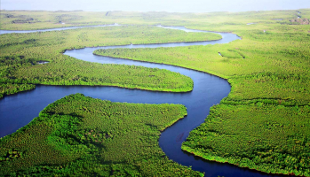
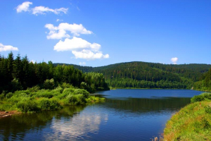
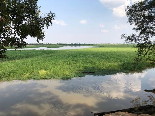
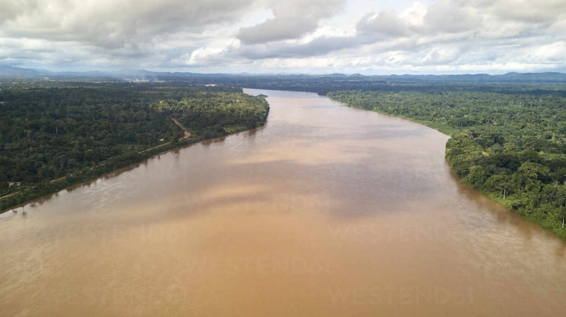
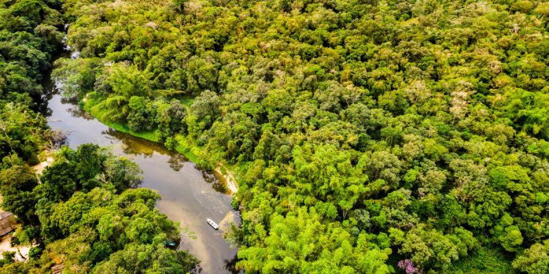
The Congo River, originally known as the Zaire River, is a river that flows across west-central Africa. It is the continent's second-longest river, behind the Nile, with a length of 2,900 miles (4,700 km). The Chambeshi River begins as the Chambeshi River in the highlands of northeastern Zambia, between Lakes Tanganyika and Nyasa (Malawi), at a height of 5,760 feet (1,760 meters) above sea level and roughly 430 miles (700 kilometers) from the Indian Ocean. The Congo River then flows in a large circular arc, discharging into the Atlantic Ocean near Banana (Banane) in the Democratic Republic of the Congo.
The Congo River is 4,370 kilometers long when combined with the Lualaba, its biggest tributary. It is the only significant river in the world to pass over the equator twice. The Congo Basin covers approximately 4,000,000 km2 of land, accounting for 13% of Africa's total landmass.
Length: 4.700 km
worldwildlife.org 
tourcounsel.com -
The Chari River, sometimes known as the Shari River, is a major tributary of Lake Chad in north-central Africa. It is produced by the Bamingui (its real headstream), the Gribingui, and the Ouham, which contribute the most water to it. It runs through Chad and the Central African Republic. Near Sarh, the Chari is joined on its right bank by the Aouk, Kéita, and Salamat rivers, which flow in a vast floodplain. The Salamat, which rises in Sudan's Darfur, is supplied by the waters of Lake Iro in its middle course.
The river then splits into several branches, which stretch out into a delta before ending at the Chari. The Aouk, which runs through Chad and the Central African Republic, also originates in Darfur and drains a vast swampy plain slowly. Its floods pour into the Chari is a large delta during the dry season, reducing it to a series of stagnant ponds. The Chari flows downstream from Sarh, crossing the Gay Rapids at Niellim, expanding to 3 or 4 miles (5 or 6.5 kilometers), and dividing into various channels in its lower reaches. It meets the Logone to the west in N'Djamena and flows into Lake Chad via various distributaries. The Chari is around 870 kilometers long in total (1,400 km).The Chari basin spans 250,000 square miles (650,000 square kilometers), and the river connects the drainage systems of the Chad interior basin's southern half. During the wet season, steamboats travel more than 530 miles (850 kilometers) along the major river. The Chari was first discovered by Europeans in 1823, when British explorers Dixon Denham, Hugh Clapperton, and Walter Oudney arrived in Lake Chad.
Length: 1.400 km
istockphoto.com 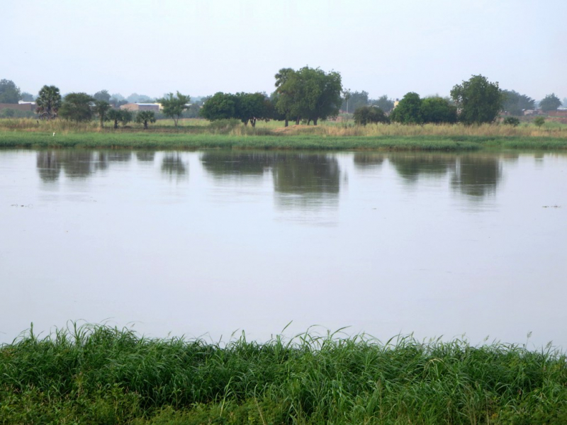
en.wikipedia.org -
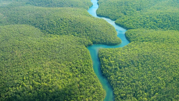
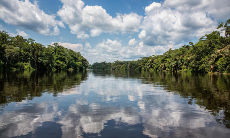
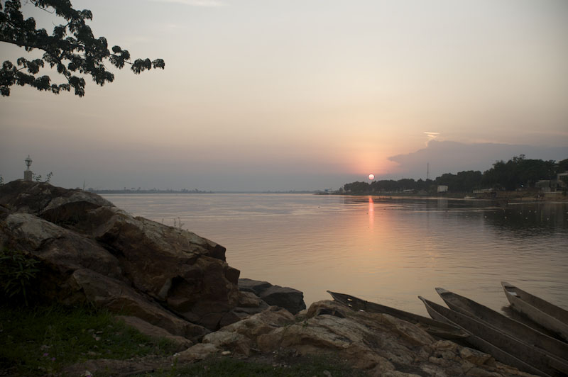
Ubangi River is one of the longest rivers in the Central African Republic. The Ubangi River, sometimes written Oubangui River, forms the boundary between the Democratic Republic of the Congo (Kinshasa) and the Republic of the Congo (Brazzaville). The Ubangi is produced by the confluence of the Bomu (Mbomou) and Uele (Welle) rivers in Yakoma, Democratic Republic of the Congo, on the border with the Central African Republic, and runs west for about 350 miles (560 km). It bends northeast of Bangui and runs southwest for a longer distance. The Ubangi is roughly 1,400 km long when combined with the Uele (2,250 km). It has a mean discharge of 151,147 cubic feet (4,280 cubic meters) per second in Bangui.
The Ubangi divides into arms separated by elongated islands in its upper reaches, while elsewhere confining rocks create rapids like those of Bangui. The Ubangi's vast course is broken by sandy shoals as it enters the Congo basin. Rapids still obstruct several of its tributaries. Flat, marshy lowlands and low divides slope east and southeast from the western highlands to the Congo River in the area between longitude 16° E and the Ubangi.
Length: 1.060 km
commons.wikimedia.org 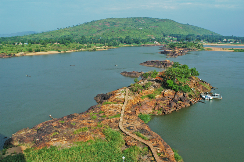
grida.no -
Sanaga River ranks 4th on the list of the longest rivers in the Central African Republic. The Sanaga River (previously German: Zannaga) is Cameroon's greatest river, flowing through the East, Centre, and Littoral regions. The Sanaga River is a watercourse in central Cameroon. The Agoua and the Djérem, two of its most prominent headstreams, merge to create the Sanaga around 56 miles (90 kilometers) north-northwest of Bertoua. The river then runs southwest for roughly 325 miles (525 kilometers), passing through Nanga-Eboko, Monatélé, and Edéa on the central plateau. It widens to a vast estuary 30 miles (48 kilometers) south of Douala, approximately bisecting Cameroon's Atlantic coastline. The land near the Sanaga river has a varied range of resources and has drawn people to reside there in the past.
Much of its upper course is riddled with falls and rapids. The hydroelectric dam in Edéa, near the head of steamboat navigation, harnesses the force of the river's 60-foot (18-meter) falls to generate power for Edéa and Douala. At Mbakaou, a dam and reservoir control water flow.
Length: 890 km
westend61.de 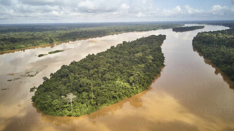
westend61.de -
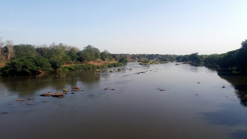
In the Central African Republic, The Kotto River is a tributary of the Oubangui River. Its source is near Mount Toussoro, on the boundary between the Central African Republic and Sudan, on the south side of the Bongo Massif. It runs for 640 kilometers (400 miles) via Bria before entering the Ubangi River 100 kilometers (60 miles) east of Mobaye. The Tondou Massif is separated from the Mongos chain to the north by the river. There are a few rapids along the way. Haute-Kotto and Basse-Kotto are two of the sixteen prefectures of the Central African Republic named after the Kotto River.
Kotto River plays an important role in the geography here and every year it still builds up alluvium for its lush banks. It brings rich and abundant aquatic resources and provides abundant water for residents. In particular, The Kotto River has high economic value because it is a unique tourist highlight in the system of scenic spots of the country. Both domestic and foreign tourists love this river.
Length: 882 km
grida.no 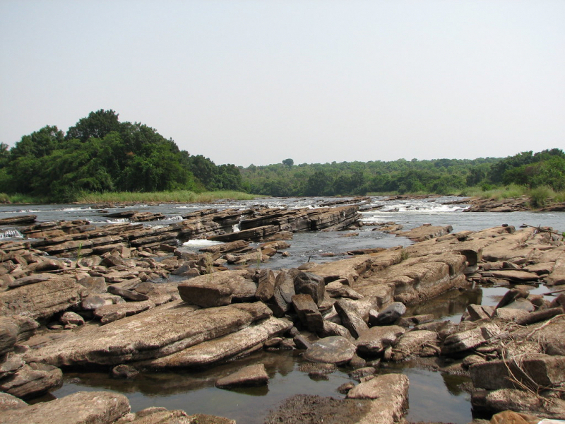
flickr.com -
The Mbomou is one of the longest rivers in the Central African Republic that flows into the Ubangi River. The Bomu River springs 30 miles (50 kilometers) northwest of Doruma, Democratic Republic of the Congo, and runs 450 miles (725 kilometers) west, marking the border between the DRC and the Central African Republic, together with the Ubangi. Its path takes it through savannas, through Bangassou, and on to Yakoma, where it joins the Uele River to form the Ubangi River. Rapids may be seen on the bottom course. In 1877, Panayotis Potagos, a Greek physician and adventurer, came across the Bomu from the north. Wilhelm Junker, a Russian-born German explorer, charted the river's upper course, and a French expedition completed a comprehensive hydrographic survey of the river in 1910–11.
The Mbomou River is also a place containing abundant and rich resources and minerals with high economic value. First of all, it is an abundant water source that not only provides water for living and production but also for use. to develop the hydroelectricity industry.
Length: 800 km
afrik21.africa 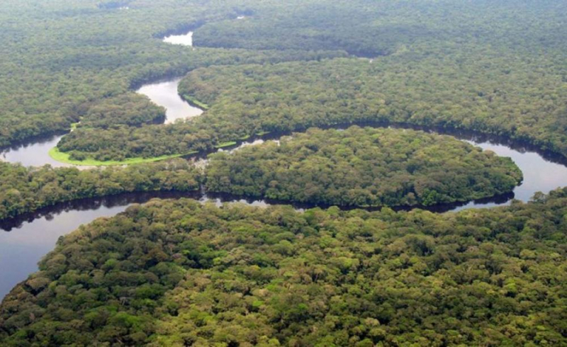
theecologist.org -
Ouham River ranks 7th on the list of the longest rivers in the Central African Republic. The Ouham River is a river in central Africa that is one of the primary sources of the Chari River. It begins in the western Central African Republic's elevated plateau country, then flows north, crossing the international border into Chad, where it is known as Bar Sara, and joining the Chari just north of Sarh. The Ouham is believed to be 420 miles (676 kilometers) long from its longest (eastern) branch to its confluence with the Chari; its lower course is navigable for commercial traffic.
Between the prefectures of Nana-Mambéré and Ouham-Pendé in the Central African Republic, the Ouham flows into Chad, where it meets the Chari approximately 25 kilometers north of Sarh. Baba, Fafa, Nana Bakassa, and Nana Barya are tributaries. The river flow was measured at Mossala, Chad, over a 33-year period (1951–1984) in Mossala, a town 150 kilometers above the Chari's mouth.Length: 676 km
somuchworldsolittletime.com 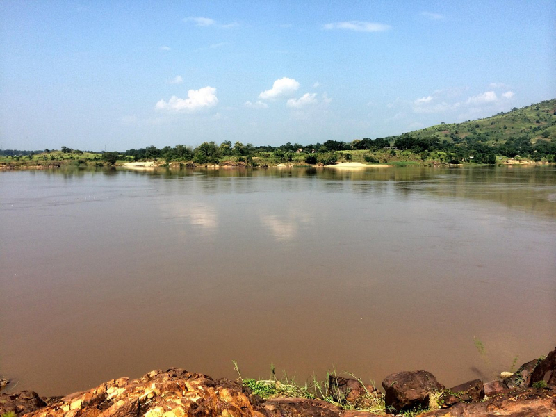
tripadvisor.com.