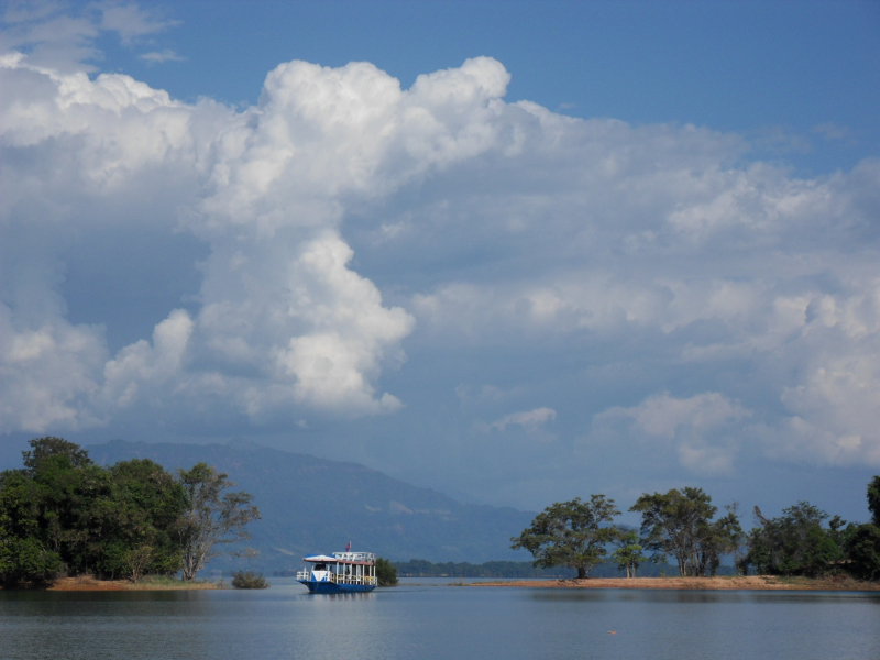
Nam Ngum River


With a length of 1,403 km and a drainage area of 17,000 km2, the Nam Ngum River is the main river in the provinces of Xiengkhouang and Vientiane, as well as one of the major tributaries of the Mekong in Lao PDR. The river's source is roughly 1,000-1,100 meters above sea level on the Plain of Jars.
After joining the Nam Lik, the Nam Ngum runs south through the Vientiane Plain for about 80 kilometers to Tha Ngone, and then east for another 80 kilometers to Pak Ngum District, where it joins the Mekong River. The discharge is 23,021,280,000 m3 per year.
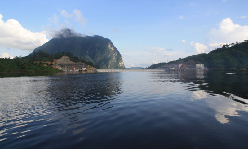
The Nam Ngum River's water flow to the Mekong River is 700 m3/s. Forest covers thirty percent of the river basin. Watershed management, water resource management, water regulation, and river basin organizations are all aided by various international organizations and financial institutions for the most efficient use of water resources and protection of watersheds. The Nam Ngum River Basin Development Sector Projects, for example, has been in operation since 2002.
Length: 354 km