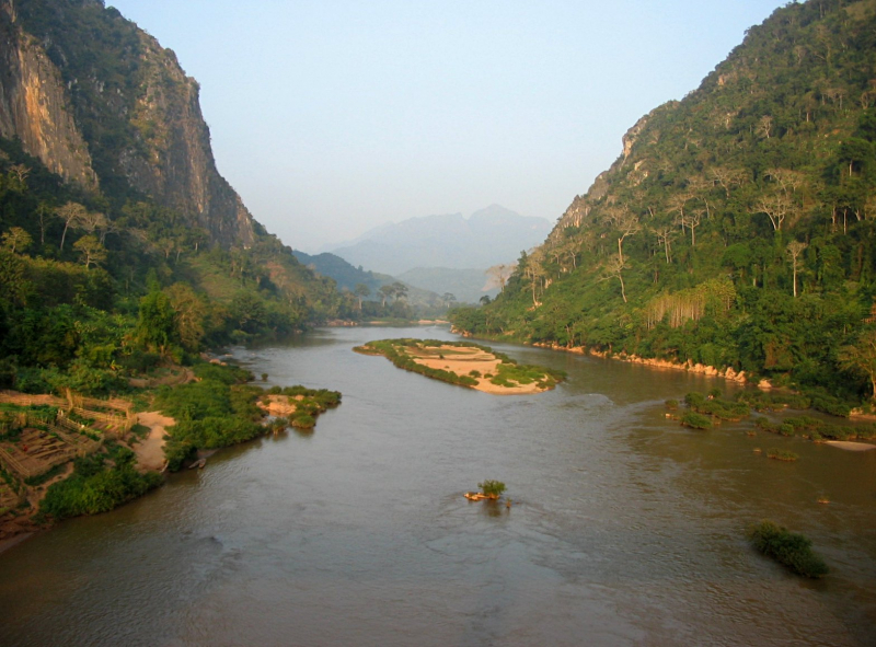
Nam Ou River


The Nam Ou River is the longest in Lao PDR's northern area. It begins near the Lao-China border in Ban Lantoug Gnai Village and flows south. To the point where it meets the Mekong River, it stretches for 390 kilometers. Phongsaly province, one-third of Uodomxay province, and one-half of Loang Prabang province make up the total drainage area of 25,000 km2. The discharge is 12,276,964,800 m3 per year.
Nam Ou River rises in the highlands at the Laos-China border in Phongsali province and runs north-south through northern Laos' mountains and basins. In Pak Ou district, about 15 kilometers northeast of Luang Prabang, it enters the Mekong River.
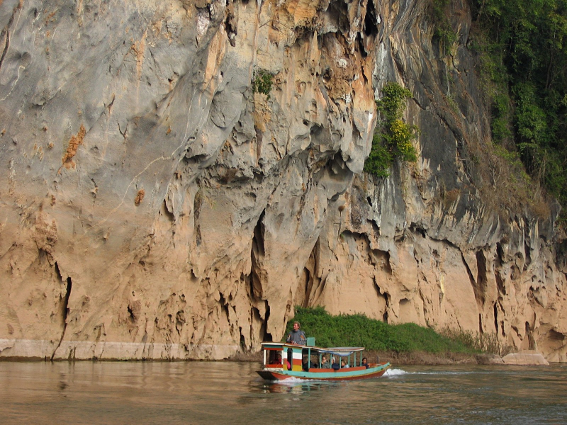
Nam Ou, like the Mekong River, is a natural watercourse suited for big canoe transit. The Pak Ou (Tham Thing and Tham Theung) caves, located near the Mekong River's confluence, are known for its Buddha sculptures. Various ethnic minority communities with generations of history are situated along the river and rely on it for survival. This involves gathering resources for revenue, food, and spiritual rituals from the river and neighboring woodlands. Hikers, tour groups, and kayakers have made the river and adjacent villages popular tourist sites. It is one of longest Rivers in Laos.
Length: 448 km