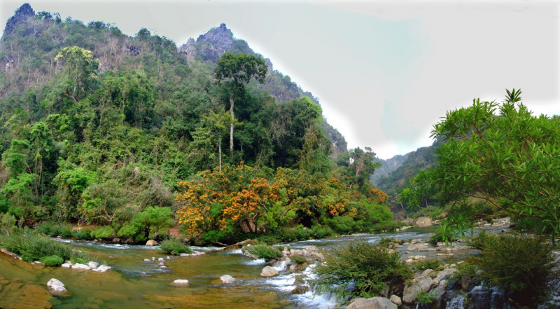
Xe Bang Fai River


The Xe Bang Fai River is a hilly river with several peaks above 1,500 meters. Flat ground exists in the Mahaxay District of Khammoune province, where the Nam Gong/kathang, a 38.5-kilometer-long tributary, flows into Gnommalath District.
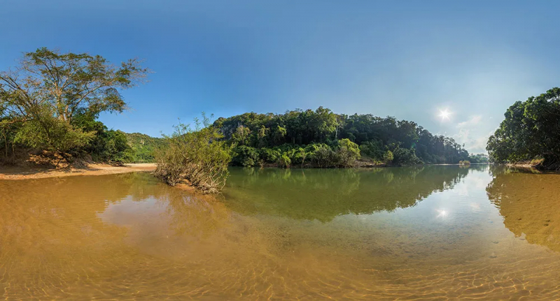
A potential agricultural land area of up to 70,000 hectares occurs downstream of the Sebangfay Bridge, with wetlands of roughly 125 km2 consisting of freshwater lakes, rivers, ponds, rice paddy, and some freshwater marshes. The steady year-round discharge of 13,623,552,000 m3 from Nam Theun powerhouse is expected to alter the river morphology of the Sebangfay from Mahaxay to the Mekong's confluence. The Nam Xebangfai (Xe Bang Fai River) is a river in Laos. Its source is the Annamite Range, located at 17°3′′′N 106°20′54′′E on the Laos-Vietnam border. It runs through the provinces of Khammouane and Savannakhet.
The Xe Bang Fai River Cave is located in Khammouane Province's Hin Namno National Park. It is thought to be one of the world's largest river caves, with tunnels measuring 120 meters tall and 200 meters wide and a seven-kilometer-long underground canal.
Length: 103.34km