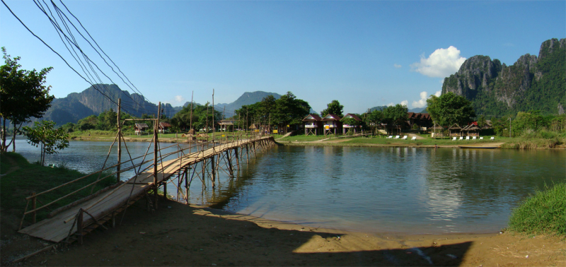
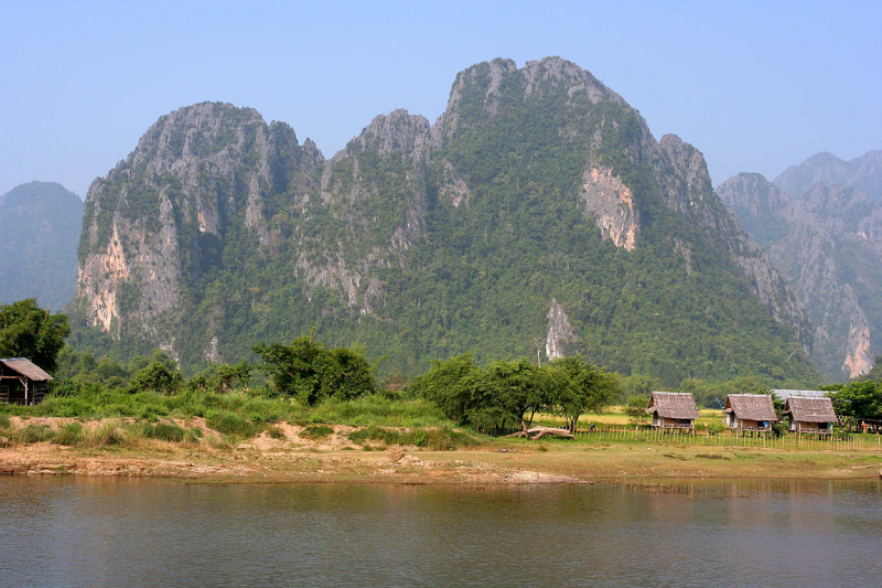
Nam Suang River

The Nam Suang River, which has a length of 150 kilometers with a source at 1,482 meters at Ban Sopkok Village, runs south-west for about 50 kilometers before turning west and eventually south-west to meet the Mekong River.
The drainage area is 5,800 km2, with mountainous areas accounting for 76.4 percent of the catchment and hilly areas accounting for 22.9 percent. The discharge is 3,654,076,320 m3 per year. The drainage system at Ban Sibounhom, 8 km from the mouth of the river, is 5,800 km2, with mountains accounting for 76.4 percent of the catchment and hills accounting for 22.9 percent.
The climate in Nam Suang River is tropical, with 1,349 mm of annual precipitation. Subsistence agriculture is practiced in the basin, with changing slash and burn forest farming. Because this type of agriculture has a negative impact on the natural environment and endangered species' habitats, conservation measures have been put in place to ban logging, burning, and hunting. Changes in land usage and conventional agricultural techniques, on the other hand, are difficult to implement and will take time.
Length: 150 km


