Top 5 Highest Mountains in South Africa
South Africa is Africa's southernmost country and the only one that borders both the Indian and Atlantic Oceans. Pretoria is the capital, and Johannesburg is ... read more...the largest city. The majority of South Africa's interior land is a plateau. The Drakensberg is the name given to the eastern portion of the Great Escarpment. This mountain range stretches for over 600 miles and contains some of South Africa's highest peaks. This article will go over some of South Africa's highest peaks.
-
With a height of 11,320 feet, the Mafadi peak is South Africa's tallest peak. The mountain is on the border between South Africa and Lesotho, with Thambana Ntlenyana, at 11,424 feet, being the highest peak in Lesotho. The name Mafida is translated to mean "mother of Fida," however the Sotho argues that Ntheledi, which means "makes me slip," is more appropriate and acceptable. Ntheledi is the name of a neighboring watercourse. Hikers flock to the peak in droves, with tens of thousands of people visiting each year. The Atlantic Ocean and the Orange basin are fed by the mountain's drainage.The Corner-Leslies Loop, a popular route to Mafadi, is growing increasingly popular. On day 1, hike to Centenary Hut in Injisuthi Nature Reserve, on day 2, ascend Corner Pass and climb Mafadi, on day 3, descend Leslie's Pass to Marble Baths, and on day 4, go back to the Njesuthi campground.
Elevation: 11,319 feet
Location: Lesotho, South Africa

https://www.instagram.com/umphafa.tours/ 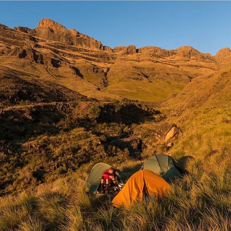
https://www.instagram.com/hiking.southafrica/ -
KwaZulu-Natal is a South African province formed in 1994 by merging the Zulu bantustan of KwaZulu and the Natal Province. It is in the country's southeast corner, with a long stretch of the Indian Ocean coastline, and borders three other provinces as well as the countries of Mozambique, Eswatini, and Lesotho. Pietermaritzburg is the capital, and Durban is the largest city. With slightly fewer residents than Gauteng, it is South Africa's second-most populous province. One of the highest mountains, Njesuthi, is located in KwaZulu-Natal province.
The mountain is situated on the border between Lesotho and KwaZulu-Natal, South Africa. This summit is 1.5 kilometers east of Mafadi. It is a short trek to the summit, similar to Mafadi, but it takes at least three days and nights. The majority of hikers begin their journey at Njesuthi or Ezemvelo camp and proceed to Judge or Leslie's Pass. Sleeping at the upper Njesuthi Cave is a good idea. "the satisfied dog" is the meaning of the name.
Elevation: 11,181 feet
Location: KwaZulu Natal, South Africa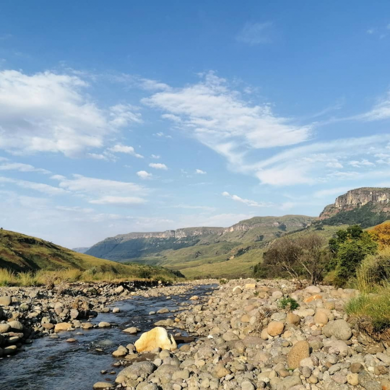
https://www.instagram.com/jasonsteel11/ -
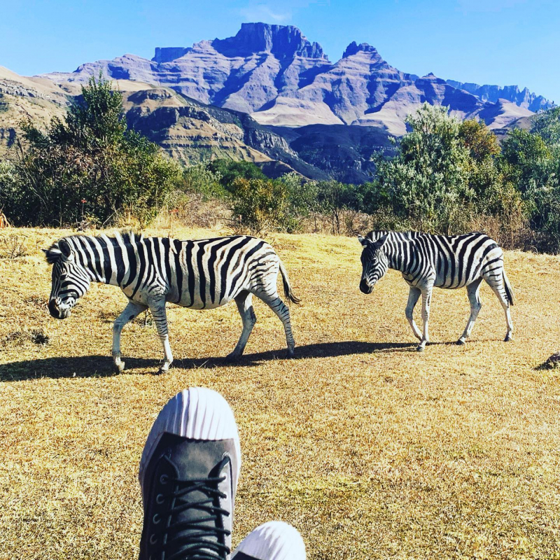
Champagne Castle is located in the KwaZulu-Natal region and is 11,079 feet above sea level. It is primarily made up of basalt rock. In the early twentieth century, Reverend Stocker became the first person to summit the mountain. It has a number of subsidiary summits, with Cathkin Peak (highest), Sterkhorn, Monk's Cowl, and Dragons Back being the four tallest.
Two mountaineers are supposed to have given the place the moniker champagne castle. When two brave mountaineers, David Gray and Major Grantham, climbed the peaks just in front of Cathkin, it is believed that they were ready to pop a bottle of champagne to commemorate their arduous journey. But, as luck would have it, the guide spilled the bottle on a rock, and Champagne Castle was christened in the Drakensberg's heart. Cathkin Peak was named after Stephan Snyman, a Lanarkshire immigrant who named his home after Cathkin Braes, a Glasgow hill.
Champagne Castle, Monk's Cowl, and Cathkin Peak are the names of nearby hotels and resorts, as is customary in the Drakensberg.Elevation: 11,079 feet
Location: KwaZulu-Natal, South Africa
https://www.instagram.com/cschabba/ 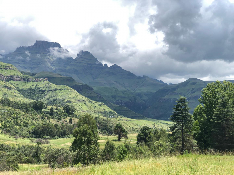
https://www.instagram.com/emri_j_griessel/ -
Popple Peak is a mountain in South Africa's Drakensberg range. It is situated on the watershed that separates South Africa and Lesotho, on the border between the two countries. Popple Peak is 3331 meters above sea level and rises about 300 meters above the surrounding escarpment. It is one of South Africa's highest peaks, and it can be seen from as far as Estcourt and Ladysmith in the KwaZulu-Natal Midlands.
According to the Mountain Club of South Africa, this peak is a Khulu, which is defined as a peak above 3000 meters that is not within 1 km of another Khulu.
Barry Anderson named the mountain after John Poppleton in 1946. (who climbed the peak with Barry Anderson and Des Watkins). When Poppleton arrived at the summit, a thunderstorm blew up, and he was afraid for his safety, so he left. Anderson later forwarded the survey of the summit to the Surveyor-General, naming it "Popple Peak" and stating its height.
Elevation: 10,926 feetLocation: KwaZulu-Natal, South Africa

https://addflag.com/ 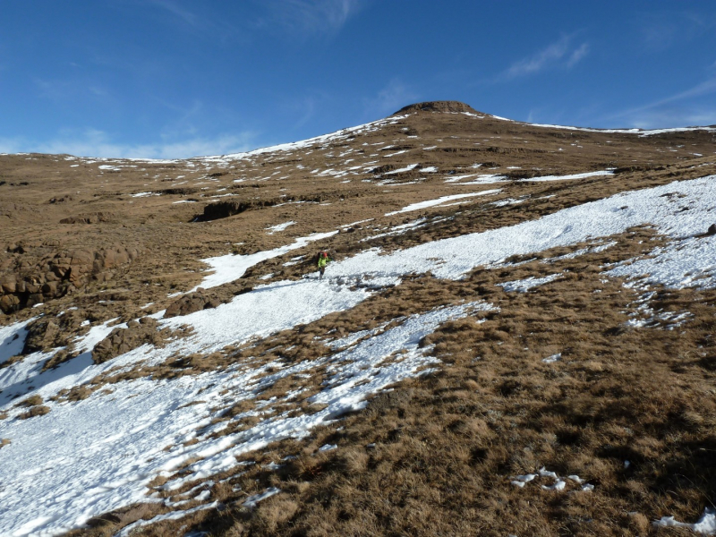
https://drakensberghikes.com/ -
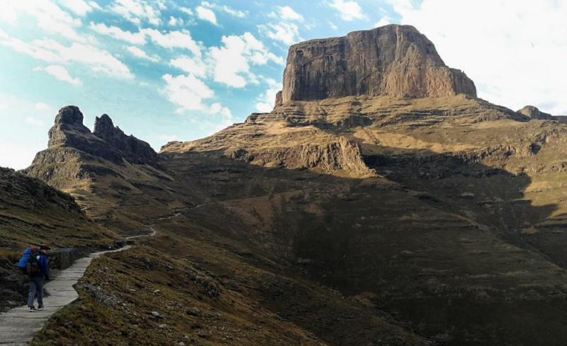
Mont-aux-Sources is a mountain in Southern Africa that is part of the Drakensberg Range's highest peaks. It is mostly in Lesotho, with some parts in South Africa's KwaZulu-Natal and Free State provinces.
The peak can be reached via chain ladders from the Sentinel Car Park near Witsieshoek. The Mont-Aux-Sources is part of a basalt plateau that rises to about 3,050 meters above sea level (10 000 ft). A sheer wall of 330 vertical meters, known as the Amphitheatre and the Sentinel, is one of the many escarpments that surround the plateau. The highest point is a peak 3 kilometers from the Drakensberg escarpment that rises to 3,282 meters.
The hilly terrain was dubbed mont aux Sources by French missionaries who visited the region in 1836 because key rivers have their sources in the range.
The Tugela, which runs eastward into the Indian Ocean on the KwaZulu-Natal coast, is one of several rivers that begin in the Mont-Aux-Sources. The Tugela plunges 947 meters in a sequence of falls in the Royal Natal National Park, about 7 kilometers from Mont-Aux-Sources. This is the world's second-highest series of falls.Elevation: 10,768 feet
Location: Lesotho, South Africa
https://www.theheritageportal.co.za/ 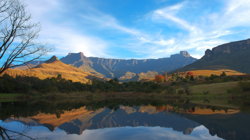
https://windows10spotlight.com/


