Top 4 Highest Mountains In Kazakhstan

Kazakhstan is a transcontinental country with a majority of its territory in Central Asia and a small portion in Eastern Europe. It is surrounded by various ... read more...magnificent mountain ranges. Here are some of Kazakhstan's tallest mountains.
-
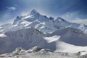
The Tian Shan mountain range includes Khan Tengri. It is located east of Lake Issyk Kul on the China—Kyrgyzstan—Kazakhstan tripoint. It has a geologic elevation of 6,995 meters (22,949 feet), although its glacial icecap climbs to 7,010 meters (22,949 feet) (22,999 ft). As a result, it is regarded a 7,000-meter summit in mountaineering circles, including for the Soviet Snow Leopard award criteria.
Only Jengish Chokusu (which means "Victory Peak" and was once known as Peak Pobeda) is higher in the Tian Shan than Khan Tengri (7,439 m). Khan Tengri is Kazakhstan's highest peak and Kyrgyzstan's third highest peak, after Jengish Chokusu (7,439 m) and Avicenna Peak (7,134 m). It's also the world's northernmost 7,000-meter summit, which is important because high-latitude peaks have a shorter climbing season, more severe weather, and thinner air.
The name "Khan Tengri" refers to the deity Tengri and literally means "King Heaven" in Kazakh or "King Sky" in Mongolian.
Location: Raiymbek District, Almaty Region, Kazakhstan
Parent range; Tian Shan
Elevation: 22,999 feet
https://aboutkazakhstan.com/ 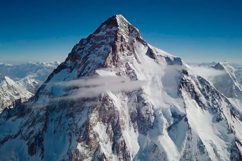
https://globeinfinite.com/event/khan-tengri-kazakhstan/ -
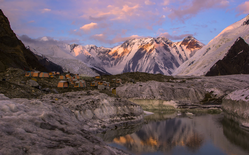
Pik Talgar is a summit in Kazakhstan's Tian Shan mountain range, named after the Talgar river and city. It is the Trans-Ili Alatau's tallest peak. It is a famous mountaineering destination due to its proximity to Almaty, Kazakhstan's former capital.
Pik Talgar is the tallest peak in Kazakhstan's trans-Ili Atau mountain ranges and one of the country's northernmost summits. It's a great place for classic mountaineering, camping, and recreational activities. The Ile-Alatau State National Park and the Almaty reserve are also part of the Talgar region. With jagged and steep-sided hillsides, the mountain climbs to a height of 16,335 feet. Alpine meadows, alpine poppies, daisies, Edelweiss, and native high-mountain sedge bogs are the main vegetation in the surrounding mountain range. Many gorges and valleys with multiple downfalls, taluses, and rock falls can be found at lower levels.
Peak Talgar's elevation is unknown, however it is usually believed to be 4,979 meters. Since 1939, a climbing camp called "Metallurg," afterwards renamed "Talgar," has been located in the gorge of the Middle Talgar River. The camp lasted until roughly 1990. Metallurg (4600m), Kopr (4631m), Chekist (4550m), Aktau (4686m), Sportivnaya (4117m), Karaulchatau (4117m), Metallurg (4600m), Kopr (4631m), Chekist (4550m), Aktau (4686m), Sportivnaya (4117m), Sportivnaya (4117m), Sportivnaya (4117m (4504m).
Location: Almaty Province, Kazakhstan
Elevation: 16,335 feet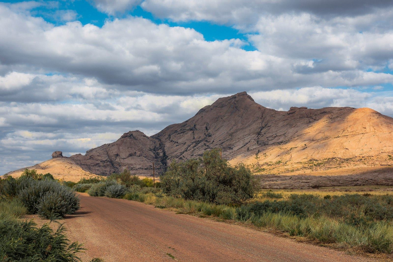
https://aboutkazakhstan.com 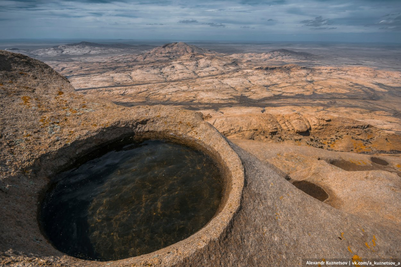
https://aboutkazakhstan.com/ -
Belukha, in the Katun Mountains, is the highest peak in Russia's Altai Mountains and the highest in the South Siberian Mountains system. It is a part of the Altai Golden Mountains World Heritage Site.
Since 2008, anyone wishing to enter the area has had to apply for a special border zone permission (if travelling independently without using an agency). Foreigners should apply for the permit two months before the intended date at their regional FSB border guard office.
Mount Belukha features 27 square kilometers of glaciers, the greatest of which, Berel, reaches a height of 14,783 feet. The Katun Mountains, which run along the Russian-Kazakh border, are home to this mountain. It's a three-peaked mountain, with the eastern peak being the tallest at 14,783 feet, and the western peak at 14,567 feet. In 1914, the Tronov brothers became the first to ascend Mount Belukha. These glaciers are the source of the Ob River and other rivers that run through the Russian and Kazakhstan borders. The mountain's center section is dominated by alpine terrain.
Location: Kazakhstan
Parent range: Altai Mountains
Elevation: 14,783 feet
https://astanatimes.com/ 
https://peakvisor.com/adm/russia.html -
At 3,840 meters, Sauyr Zhotasy, also known as Muz Tau (Chinese: ; pinyin: Mùsdo Shn), is the highest peak in the Saur Range and the entire Saur-Tarbagatai mountain chain, which is part of the Tien Shan, on the Kazakhstan-China border.
Sauyr Zhotasy's around 60 miles southeast of Zaysan Lake, at a distance of 100 kilometers. Despite its low elevation, the Saur-Tarbagatai System is well separated from higher ranges in the area (the Saur-Tarbagatai System is separated from the Altai Mountains by the Irtysh River valley, and from the Dzungarian Alatau by the Dzungarian Gate); it is thus ranked highly by topographic prominence.
Ed Hannam and his colleagues made two documented ascents to Sauyr Zhotasy sub-summits in 2017 and 2018, however there have been no official ascents to the main summit recorded.
Location: China–Kazakhstan border
Parent range: Saur, Tien Shan
Elevation: 12,598 feet
http://publications.americanalpineclub.org/