Top 4 Highest Mountains in Myanmar

Myanmar is a country in Southeast Asia that shares borders with Bangladesh, China, Laos, Thailand, and India. Bago Yoma, Rakhine Yoma, Tenasserim Hills, and ... read more...Shan Hills are among Myanmar's mountain ranges. From the Himalayas, the country's mountains run north to south. The country's three rivers, the Salween, Irrawaddy, and Sittaung, are divided by a mountain range. The following are some of Myanmar's highest mountains. Hopefully, you will find this list useful.
-
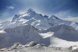
With an elevation of 19,295 feet, Hkakabo Razi is Myanmar's highest point of elevation and highest mountain (5,881 meters). The peak is also the tallest in Southeast Asia, and it is located in the Greater Himalayan mountain range in the northern Myanmar state of Kachin. The Hkakabo Razi National Park, which is fully hilly and made up of broad-leaved evergreen rain forest, surrounds Mount Hkakabo Razi. Depending on the elevation, the mountain is separated into zones. Subtropical temperate (8,000 to 9,000 feet), semi-deciduous forest, needle-leaves snow forest, and alpine are among the zones.
The climate atop Hkakabo Razi Mountain is alpine, with snow more common than rainfall, especially during the winter, when temperatures range from -60 to 23 degrees Celsius. Takashi Ozaki and Nyima Gyaltsen accomplished the first ascent of the peak in 1996. Because non-citizens were not allowed into the area surrounding the peak until late 1993, the first ascent took a lengthy time. The flora and animals of Mount Hkakabo Razi and Hkakabo Razi National Park have not been thoroughly examined or researched.
Elevation: 5,881 meters
Location: Kachin, Myanmar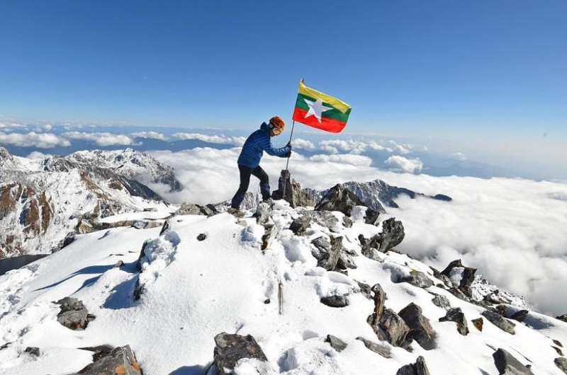
https://www.instagram.com/visitsoutheastasiaofficial/ 
http://kyluc.vn/ -
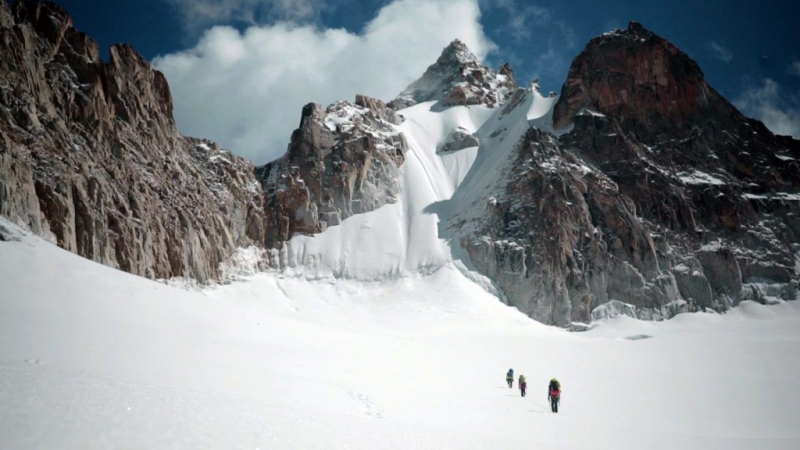
Gamlang Razi Mountain is regarded to be one of Southeast Asia's tallest peaks. The mountain is located in the state of Kachin in northern Myanmar. The peak's elevation was determined to be 19,259 feet, making it the highest mountain that has been verified using GPS satellites (GPS). The GPS position of Mount Hkakabo Razi has yet to be determined. Mount Gamlang Razi is a Himalayan mountain that is located within the Khakaborazi National Park.
The mountain is known for its year-round glacier and snow, as well as its granite rock. The first ascent of Mount Gamlang Razi was made in 2013 by an American team and a team from Myanmar's Technical Climbing Club, led by Andy Tyson. The approach to the peak runs through a dense jungle with streams of water, and it takes around two weeks to reach the mountain's base.
In 2013, Andy Tyson led the first ascent. The team included five American climbers and two Burmese climbers from Myanmar's Technical Climbing Club (TCCM). The Htoo Foundation provided the majority of the funding for the expedition. The route to the base camp takes you through many rainforests and through several streams. It usually takes around two weeks to reach the base camp in good weather.
Elevation: 5,870 meters
Location: Kachin, Myanmar
http://publications.americanalpineclub.org/ 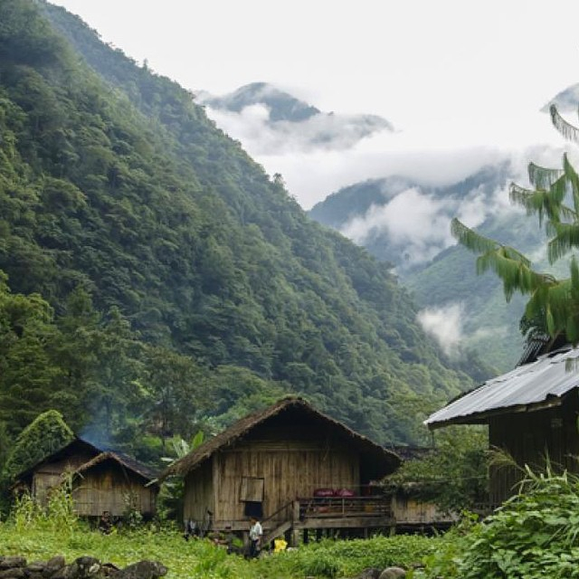
https://www.instagram.com/sierramagazine/ -
Tani Razi is one of the highest mountains in Myanmar. The Tani Razi mountain, with an elevation of 15,026 feet above sea level, is located in the state of Arunachal Pradesh, along the India-Burma boundary. It is in the Kachin state of Myanmar, in an outlying subrange of the Greater Himalayan range. A limited peak area and a steep slope characterize the mountain. Mount Tani Razi has no climbing record and little information about it has been published.
Unlike other mountains, this mountain does not have much information to explore. The Tami Razi mountain is still one of Asia's least studied mountains. Mount Tani Razi is desolate, and there are no communities in the area. The meadow surrounds the peak. Mount Tani Razi's immediate surroundings are rugged in the southeast and hills in the northwest. The average annual temperature in the region is -2 degrees Celsius, with an average annual rainfall of 1,800 millimeters.
Elevation: 5,101 meters
Location: Kachin, Myanmar
https://livingasean.com/ 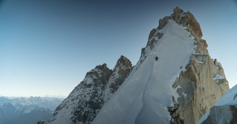
http://kolopia.blogspot.com/ -
Phangran Razi, which stands at 14,199 feet above sea level and is 95 kilometers northwest of Putao, is located on the boundary between India and Myanmar. The vegetation on the mountain varies widely, with bamboo forest, cloud forest, and rhododendron prevailing at higher elevations, and pine trees dominating at lower elevations. The Phangran Razi is home to many wild species, particularly those that graze. There are multiple long river valleys that go to the mountain's foot. Climbing Mount Phangran Razi is difficult and hard, but it is also extremely rewarding. Climbers can see the magnificent snow-capped mountains in the region from the peak.
Climbing Phangran Razi, which reaches a height of 4330 meters, is both rewarding and challenging. For fit explorers, this remote expedition-style trek is a true adventure. You will be one of the few climbers to reach the mount of this inaccessible peak. Only organized hiking expeditions are permitted to reach this location.
For fit explorers, this distant expedition-style camping walk is a true adventure. You can stay in local village cottages and sleep in dormitories during your expedition (you can also sleep in your tent if you like). There are no particular climbing abilities or equipment required.
Elevation: 4,328 m
Location: Kachin, Myanmar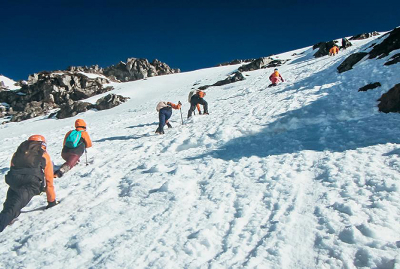
https://elevenmyanmar.com/ 
http://trekking-myanmar.com/