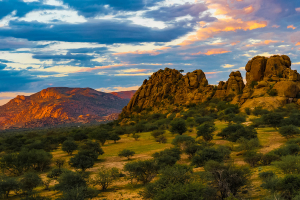
Top 5 Highest Mountains in DR Congo

The Democratic Republic of the Congo (DRC) is a vast Central African country. The terrain of the country is made up of a vast low basin in the center of the ... read more...country and a mountainous region in the east. The country's average elevation is 726 meters, with the highest point being Pic Marguerite on Mount Stanly at 5,109 meters and the lowest point being on the Atlantic Ocean's shore at 0 meters.
-
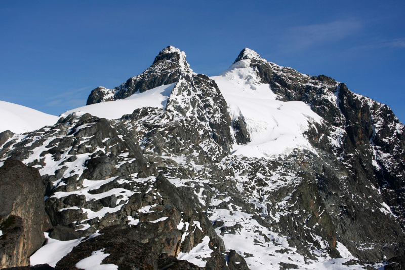
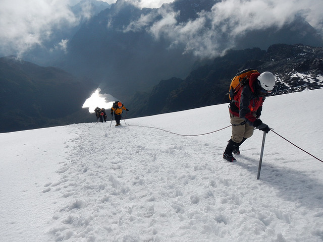
Mount Stanley, with an elevation of 5,109 meters, is the highest mountain in the Democratic Republic of the Congo and the third highest mountain in Africa. Mount Stanley was named after Sir Henry Morton Stanley, a Welsh journalist and explorer. It is located in the Ruwenzori Mountains National Park and is part of the Ruwenzori Range. The mountain is a popular tourist destination for both local and international mountain climbers. The mountain is surrounded by huts that provide tourists with overnight lodging. However, because the mountain borders both Uganda and the Democratic Republic of the Congo, there have been border issues on numerous occasions, primarily affecting tourists who find themselves paying more at the DRC border than they do at the Ugandan border.
Mount Stanley is a fault-block mountain in the African Rift System that rises between two rifts. They are composed of gneiss and quartzite and were formed within the last 10 million years. The mountains are almost always shrouded in mists, and rain, with frequent thunder and lightning. Nowhere else on the planet has such an incredible collection of bog, moss, and forests that resemble those from The Lord of the Rings. Heavy rain, sleet, and snow lash the range most of the year, but the two drier spells are January/February and mid-June through mid-August. It is strongly advised that you schedule your trip during one of those times.
Height: 5,109 meters
Location: Ruwenzori Range, GR Congo
peakbagger.com 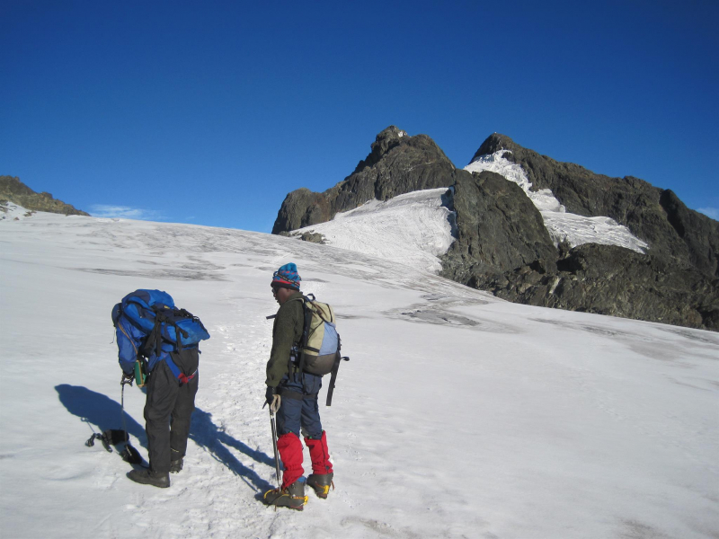
peakbagger.com -
Mount Emin is the second-highest mountain in the Democratic Republic of the Congo. It is situated along the Ugandan border. It is the third highest mountain in the Democratic Republic of the Congo and is part of the six-mountain Ruwenzori range. The mountain was named after Mohammed Emin Pasha, a Prussian doctor who is said to have given scientific and geographical knowledge about Central Africa while exploring the country. The mountain's ridges are extremely narrow and rocky. People from Zaire and Mutsori live on the mountain's lower plain and serve as guides through it.
At 4,798 meters, it is the fourth highest peak in the Ruwenzori Range and the sixth highest peak in Africa. It is a part of the Ruwenzori Mountains National Park, which was designated a UNESCO World Heritage Site in 1994.
It is located to the north of the triangle formed by the Stanley, Speke, and Baker mountains. In 1906, Luis Amadeo de Saboya climbed this mountain 1906, becoming the first MontaVista to reach the summit. He had previously scaled the other peaks of the Ruwenzori Mountains.Height: 4,798 meters
Location: Mutwanga, Ruwenzori, Beni Territory, North Kivu, DR Congo
peakbagger.com 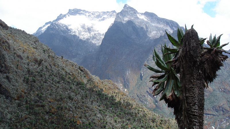
peakbagger.com -
Mount Karisimbi is a stratovolcano in Rwanda's Virunga Mountains, near the border with the Democratic Republic of the Congo. It is presently inactive. Karisimbi is the tallest of the eight major mountains in the mountain range, which is part of the Albertine Rift, the western arm of the East African Rift, at 4,507 meters (14,787 feet). On the other side of the Rift Valley, Mikeno to the north, Bisoke to the east, and Nyiragongo to the west surround Karisimbi. Karisimbi is Africa's 11th tallest peak.
The name Karisimbi is derived from the Kinyarwanda word 'amasimbi,' which means snow. During the dry season of June, July, and August, the tops of the mountains are primarily covered in snow. Dian Fossey established the Karisoke Research Center between Karisimbi and Bisoke to study the mountain gorillas that live in this area.Height: 4,507 meters
Location: The border between Rwanda and DR Congo
volcanoesnationalparkrwanda.com 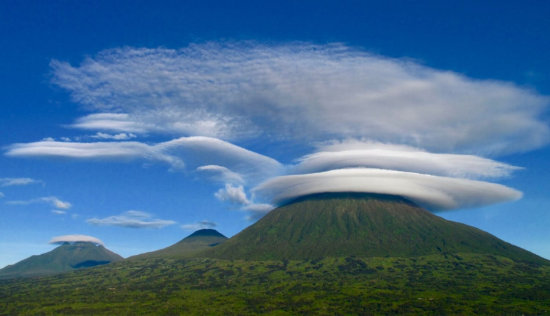
volcanoesnationalparkrwanda.com -
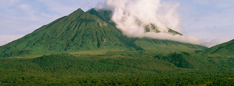
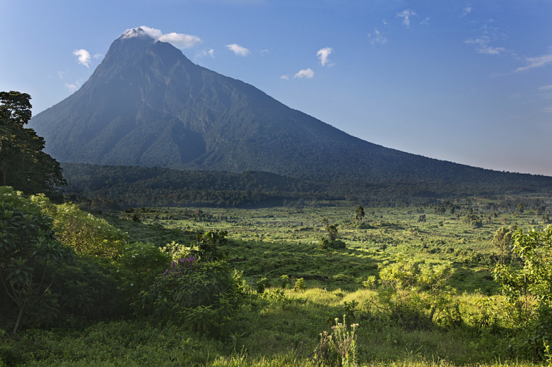
Mount Mikeno, along with Mount Nyiragongo, Mount Nyamuragira, Mount Karisimbi, Mount Bisoke, and Mount Sabyinyo, is an extinct volcanic mountain in the Virunga Mountains of the Democratic Republic of the Congo. Mount Mikeno, at 4,437 meters, is the second-highest peak in the Virunga Mountains, after Karisimbi, and Africa's 13th tallest mountain. Mikeno means "poor," and it gets its name from the rough slopes that make human settlement impossible.
Mount Mikeno is totally surrounded by Virunga National Park and is home to critically endangered mountain gorillas. Mikeno's gorilla expeditions usually depart from the adjacent Bukima Patrol Post.
Mount Mikeno is known for being home to the world's most famous mountain gorillas; the name Mikeno comes from a local word that means "poor," according to the mountain's rough slopes. Mount Mikeno's top is the most difficult to reach of all the Virunga volcanoes, but it's worth the effort since you can see the east African rift, which has been growing for 30 million years and offers amazing vistas.
Height: 4,437 meters
Location: The Democratic Republic of the Congo’s Virunga National Park
flickr.com 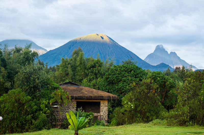
flickr.com -
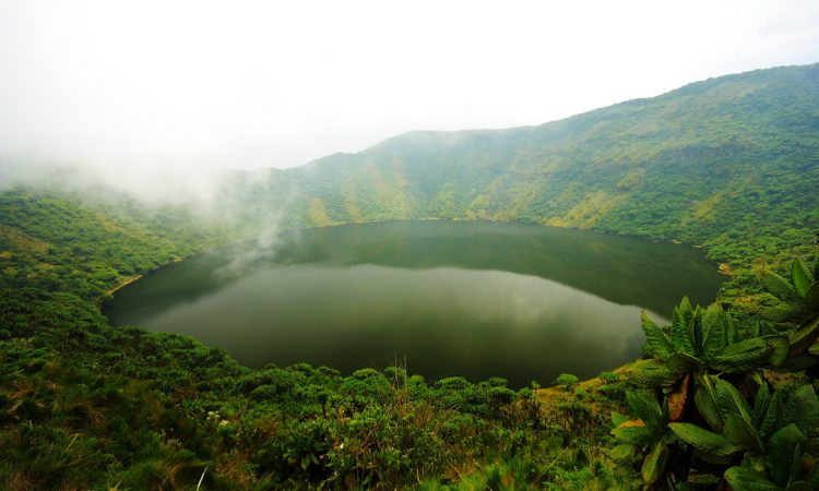
Mount Bisoke (also Visoke) is an active volcano in the Albertine Rift, the western arm of the East African Rift, in the Virunga Mountains. Although it lies on the boundary between Rwanda and the Democratic Republic of the Congo, the summit is in Rwanda. It's about 35 kilometers northeast of the town of Goma, on the shores of Lake Kivu.
Bisoke, like all the other peaks in the Virunga Mountain Range, is a volcano formed by rift action on the East African Rift's growing divergent boundary, which is slowly bisecting the African plate. Bisoke has had two known eruptions, one in 1891 and the other in 1957. The most recent eruption, which occurred 11 kilometers north of the summit and resulted in the formation of two minor cones on the volcano's north flank, occurred 11 kilometers north of the summit. There is evidence that the geologically active area where this eruption occurred is still active, implying that further activity at Bisoke is likely. There are two crater lakes on the volcano, one of which is the largest in the range.
Height: 3,711 meters
Location: The border of Rwanda and DR Congo
mountnyiragongo.com 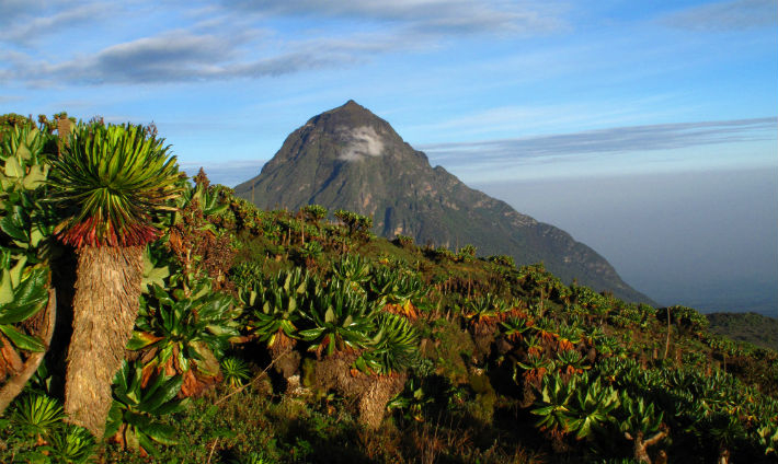
mountnyiragongo.com