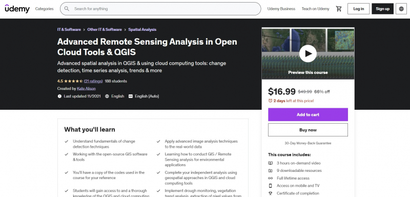
Advanced Remote Sensing Analysis in Open Cloud Tools & QGIS

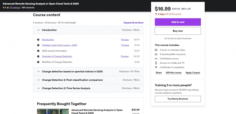
One of the Best Online Spatial Data Analysis Courses is Advanced Remote Sensing Analysis in Open Cloud Tools & QGIS. This course will teach participants how to utilize QGIS and online cloud computing platforms (such as EO browser and others) to execute advanced geospatial analysis centered on change detection approaches (data differencing, post-classification comparison, and time series analysis) with Big Data. The training will also introduce you to GIS software tools and cloud-based apps for change detection approaches. The teacher will also show you how to use the EO-browser and AppEARS cloud computing tools to learn about user-friendly cloud computing.
You will feel competent and have a thorough understanding of advanced geospatial analysis in QGIS and on the cloud at the conclusion of the course. You'll learn how to use open source GIS software and cloud computing technologies to create realistic advanced applications. This course will also equip you to use open source and free software tools for geospatial analysis. The practical activities are a crucial component of the training. To produce the necessary datasets, algorithms, and instructions for geospatial analysis.
Requirements:
- The students should complete course on fundamentals of Remote Sensing
Who this course is for:
- Any professional that works with geographical data analysis and GIS maps
Course Rating: 4.5/5
Enroll here: https://www.udemy.com/course/advance-remote-sensing-analysis-in-open-gis-tools-qgis-etc/