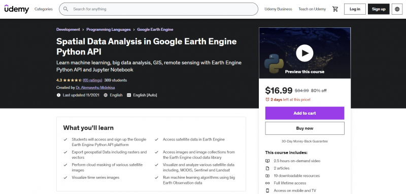
Spatial Data Analysis in Google Earth Engine Python API

Do you wish to use the Jupyter Notebook with Earth Engine Python API to access satellite sensors? Do you want to study cloud-based spatial data science? Do you wish to pursue a career in spatial data science? Let's sign up for my new course on spatial data analysis using the Python API for Google Earth Engine. It will provide you practical instruction using real-world applications, sample scripts, and example data.
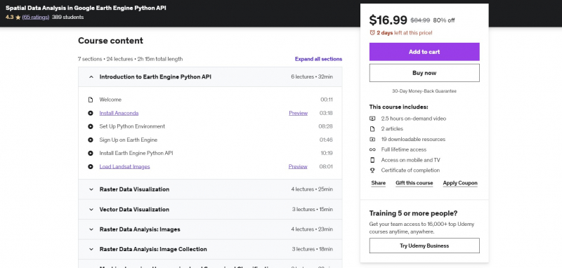
You may install Anaconda and Jupyter Notebook after completing this course. The Earth Engine Python API will then provide you access to satellite data. The instructor in this Earth Engine Python API course on spatial data analysis will assist you in setting up and using Jupyter Notebook and the Earth Engine Python API. By the end of the course, you will have access to all sample data and scripts, enabling you to download, view, and extract information from large amounts of data.
Requirements:
- None
Who this course is for:
- Professionals who want to harness the power Google Earth Engine Python API and Jupyter Notebook
- People who desire to comprehend different Python and Jupyter Notebook-based satellite image processing approaches.
- Anyone who is interested in learning how to access and extract data from Earth observation.
- Anyone who wishes to submit an application for a job as a spatial data scientist.
Course Rating: 4.3/5
Enroll here: https://www.udemy.com/course/spatial-data-analysis-with-earth-engine-python-api/