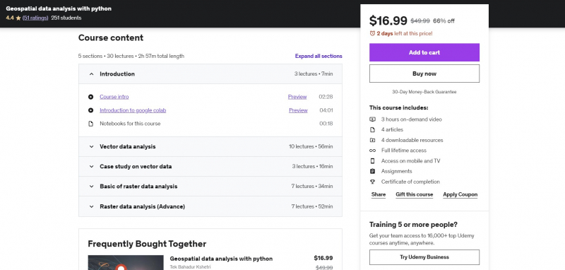
Geospatial data analysis with python
The fundamentals of Python are covered in this course. suitable for GIS professionals without any programming or Python experience. Participants in the course will learn fundamental programming principles, geographic analysis libraries, geospatial APIs, and methods for creating pipelines for processing spatial data.
The majority of data that exists in the actual world is by its very nature geographical. The majority of datasets feature a geographic component that you may use to maximize what they have to offer, from the population reported in the national census to every store in your area. You will learn how to incorporate geographical data into your Python Data Science process in this course.
You'll learn how to use the spatial dimension of real-world data to interact with, modify, and enhance it. You will gain knowledge on how to read tabular spatial data in the most popular file types, such as GeoJSON, shapefile, and geopackage, and display it on maps. Then, you will mix several sources by using their geographic position as a link that connects them.
Requirements:
- Basic programming knowledge
- Basic understanding about the geospatial data
Who this course is for:
- Students
- Python users
- GIS users
- Anyone who is interested to work on spatial data
Course Rating: 4.4/5
Enroll here: https://www.udemy.com/course/geospatial-data-analysis-with-python/


