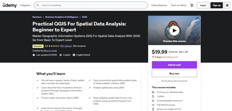
Practical QGIS For Spatial Data Analysis: Beginner to Expert

This course intends to teach you how to use QGIS effectively and do typical GIS tasks using actual data. With the help of this course, you'll get familiar with everything needed to go from a beginner's level to doing some of the most crucial GIS analyses on actual geographical data. Some key GIS principles will be covered, along with examples of how QGIS may be used to apply them to actual data.
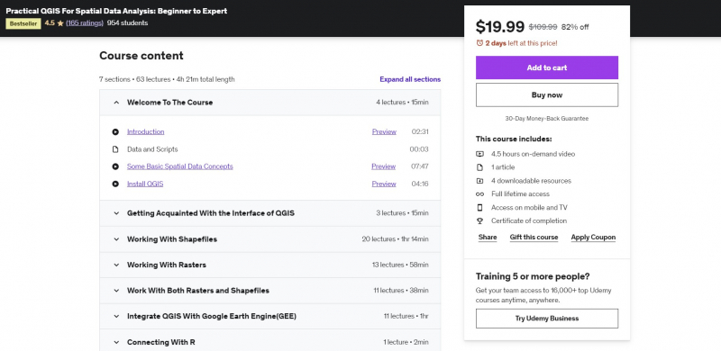
This involves performing crucial GIS operations including generating topographic products and spatial cluster mapping, as well as working with both raster and shapefile data. This course focuses on teaching you how to use the various spatial data analysis approaches on actual data, including dealing with the robust System for Automated Geoscientific Analyses (SAGA) processing toolkit and the Google Earth Engine (GEE) plugin.
You will learn a useful GIS technique to use to your own data from each session. Feel free to request a refund within 30 days of your purchase if this course ever leaves you disappointed. You would receive the money right away.
Requirements:
- An interest in working with spatial data
- Prior exposure to geographic information system (GIS) concepts
Who this course is for:
- Anybody who works/will work with spatial data and Geographic Information System (GIS)
- Academics who work with GIS
- Researchers working with GIS and spatial data
Course Rating: 4.5/5
Enroll here: https://www.udemy.com/course/practical-qgis-for-spatial-data-analysis-beginner-to-expert/