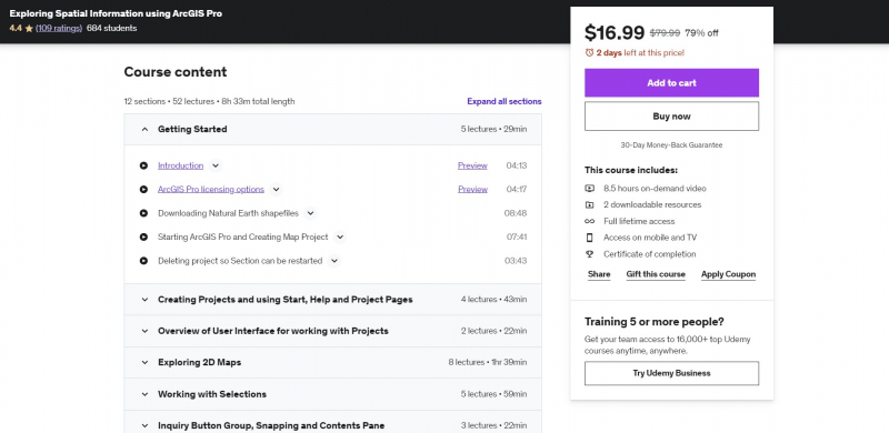
Exploring Spatial Information using ArcGIS Pro
At ArcGIS Pro 2.5, this course is being made available. It is intended for both ArcGIS Pro newcomers and those who just wish to learn more about using ArcGIS Pro for spatial data exploration. The focus of this specific course may touch on, but not go into depth with, broad themes including editing spatial data, creating maps and map series utilizing layouts, and geoprocessing using tools, models, tasks, and the Python ArcPy module.
ArcPy has a comprehensive companion course (ArcPy for Python Developers using ArcGIS Pro) and map series has a brief companion course (Map Series made easy with ArcGIS Pro), while companion courses for the remaining topics are in the works. The most popular ArcGIS Pro capabilities for examining spatial data are thoroughly examined in this course. The presenter's expertise working with ArcGIS Pro for 5 years and Esri products for more than 30 years informed the examples picked to demonstrate how each feature is used.
Requirements:
- Have a license to use ArcGIS Pro
- Have a laptop or PC that meets ArcGIS Pro system requirements
Who this course is for:
- Beginners who may never have started ArcGIS Pro
- Existing ArcGIS Pro users who want to learn new and alternative ways to do things
Course Rating: 4.4/5
Enroll here: https://www.udemy.com/course/exploring-spatial-information-using-arcgis-pro/


