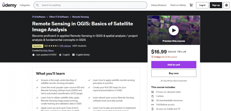
Remote Sensing in QGIS: Basics of Satellite Image Analysis

Are you seeking for a course that will walk you through everything, teach you all the principles, and get you started on a real-world Remote Sensing analysis assignment because you find Remote Sensing books and manuals to be too theoretical? You have now discovered the QGIS course's Fundamentals of applied satellite remote sensing.
Starting with the fundamental concepts of remote sensing, this course gives you all the theoretical knowledge and practical skills you need to implement PRACTICAL, remote sensing analysis. It also gives you the tools you need to implement your own independent remote sensing analysis project using the fantastic QGIS open-source software.
Additionally, the instructor will show you how to include Remote Sensing analysis in the most recent version of the free program QGIS, enabling you to start using satellite photos for your work and Remote Sensing projects right now. The practical activities are a crucial component of the training. To use the QGIS program to make maps and do geospatial analysis, you will be provided with clear instructions, downloadable instructional materials, practical materials, scripts, and datasets.
Requirements:
- A working computer
- A Windows PC running the QGIS version will be used to demonstrate the course. Users of Mac and Linux systems will need to modify the instructions for their platforms
Who this course is for:
- Geographers, Programmers, geologists, biologists, social scientists, or every other expert who deals with GIS maps in their field