Teraja
The proposed Bukit Teraja Protected Area extension is a modest piece of land (about 2500 ha), but it contains a lot of biodiversities and has a lot of eco-tourism potential. It is a relatively unspoiled woodland with numerous hiking options that is accessible by road. Mixed Dipterocarp Hill Forest, Peat Swamps, Ridges, Rocks, Waterfalls, and Rivers are only some of the ecosystems found in the area, resulting in a rich flora and fauna.
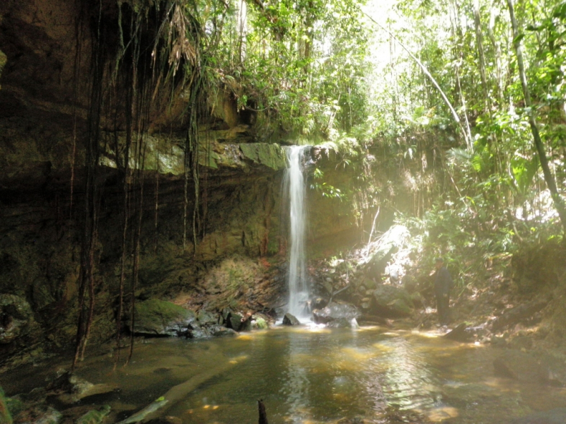
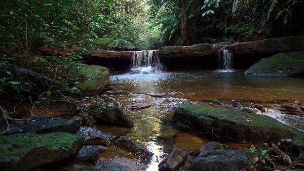
With at least 11 waterfalls and numerous hiking opportunities, this area is huge and exceptionally diversified. The trails leading to the Teraja and Belaluk waterfalls are well-worn yet unsigned. Pushing further through the rivers from these trails reveals a plethora of other stunning waterfalls. The adventurous family will have a great time scrambling down rivers, climbing over rocks, and swimming in the many pools.
The majority of ridges have some sort of hiking or animal track that connects to Bukit Teraja and other regions. About 10 kilometres beyond the tarmac, the Teraja River marks the end of Labi Road. A well-worn route leads upstream to a little waterfall amid a beautiful green forest, crisscrossing the river over tree trunks. The waterfall also serves as a water source for the Teraja longhouse at the start of the trail. Beyond the waterfall, the trail continues to the summit of Bukit Teraja, however, the last section is hazy and at times a scramble.
Location: Jalan Labi end of Jalan Labi, Seria KB1110 Brunei Darussalam
Highlights: Sungai Liang Recreational Park, Teraja Longhouse or Labi Homestay, ...
Best time to visit: February to April


