Top 5 Most Beautiful Islands In Marshall Islands

The Marshall Islands are a vast network of volcanic islands and coral atolls located in the central Pacific Ocean between Hawaii and the Philippines. Few ... read more...people visit these distant islands because they are difficult to reach – but that only adds to their allure. These are the top 5 most beautiful islands in Marshall Islands.
-
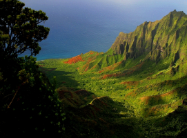
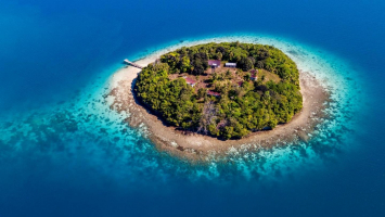
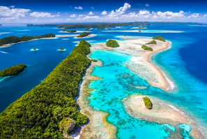
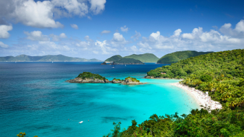
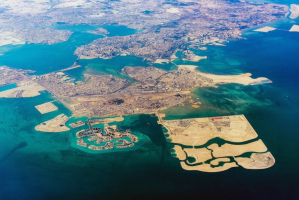
Arno Atoll ranks 1st on the list of the most beautiful islands in Marshall Islands. This is a coral atoll with 133 islands in the Pacific Ocean that serves as a legislative district of the Marshall Islands' Ratak Chain. It barely has a total land size of 5 square miles (13 km2). Arno, unlike most other atolls, has three lagoons, one huge in the center and two smaller ones to the north and east. Its major lagoon covers a total area of 130.77 square miles (338.7 km2). It is the nearest atoll to the Marshall Islands capital, Majuro Atoll, at barely 20 kilometers (12 miles), and can be seen facing east from Majuro on a clear day at low tide. Arno Atoll has a population of 1,794 people according to the 2011 census. Ajeltokrok, Kobjeltak, Rearlaplap, Langor, and Tutu are the most populous islets. Ine, Arno is the largest village.
Arno residents are widely known for their efficiency in the production of copra (the dried out meat of coconuts, from which coconut oil is extracted). Arno women are well-known for producing the Kili Bag, a popular handwoven handbag/purse named for another Marshall Islands island (to which the people of Bikini were eventually relocated as a result of the US nuclear tests that were conducted on their home atoll). Arno allegedly ran a classic "love school."Location: North Pacific, Marshall Islands
tripadvisor.com.hk 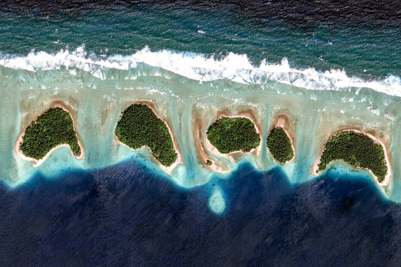
earthview.withgoogle.com -
Ebeye Island is ranked in 2nd place on the list of the most beautiful islands in Marshall Islands. Ebeye is the most populous island in the Marshall Islands' Kwajalein Atoll, as well as the heart of Marshallese culture in the archipelago's Ralik Chain. It is located on 80 acres (32 hectares) of land and has a population of around 15,000 people. It is estimated that more than half of the population is under the age of 18. The majority of Ebeye's people are islanders who were evacuated from other islands in the Kwajalein atoll or are the descendants of islanders who were evacuated from other islands in the atoll. It is the most populous island in the Marshall Islands' Kwajalein Atoll and the center of Marshallese culture in the archipelago's Ralik Chain. The islanders are friendly and open to visitors, although Ebeye has little to offer tourists.
A coral reef (visible and navigable at low tide) connects them to Kwajalein and the rest of the globe. A causeway at the northern end of the island connects to numerous other islands, forming a 10 km (6.2 mi) long chain of populated islands.
Location: Kwajalein Atoll, Marshall Islands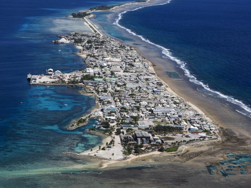
news.com.au -
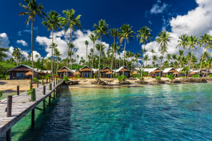
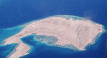
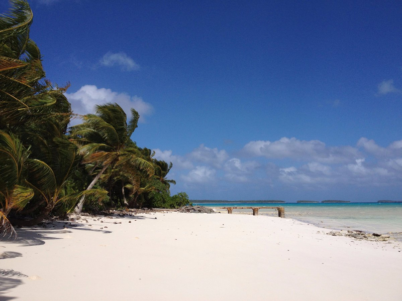
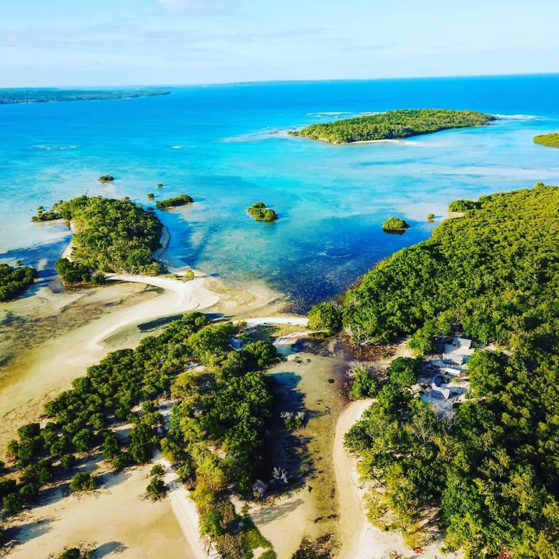
Kili Island is in 3rd place on the list of the most beautiful islands in Marshall Islands. Kili Island, also known as Kili Atoll, is a small 81-hectare (200-acre) (0.93 square kilometers (0.36 square mile)) island in the Pacific Ocean's Marshall Islands. It is the temporary home of 548 people descended from islanders who once resided on Bikini Atoll. When they agreed to let the US government temporarily use their home for nuclear testing in 1945, they were evacuated. After two previous relocations failed, they settled on Kili Island. The island lacks a natural lagoon and is unable to generate enough food for the people to be self-sufficient. It is part of the Ralik Chain's legislative district in the Marshall Islands. The island is located about 48 kilometers (30 miles) southwest of Jaluit. It is one of the Marshall Islands' tiniest islands.
Many of the families of displaced refugees from Bikini Atoll have lived on Kili Island in the Marshall Islands since 1948. It is sadly affected by climate change, as tidal waves wash over the island on a yearly basis, and the island's future is uncertain. Visit before it's too late to marvel at the amazing natural beauty.
Location: Marshall Islands
facebook.com -
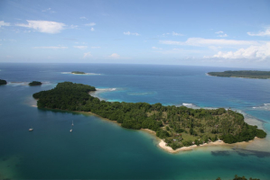
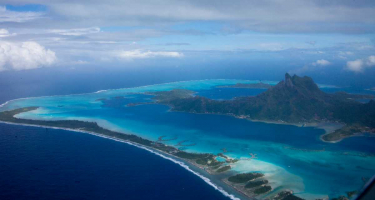
Majuro is the Marshall Islands' capital and largest city. It is also a 64-island coral atoll in the Pacific Ocean. It is a legislative district of the Marshall Islands' Ratak (Sunrise) Chain. The atoll has a land area of 9.7 square kilometers (3.7 square miles) and a lagoon size of 295 square kilometers (114 sq mi). Majuro, like the other Marshall Islands atolls, is made up of narrow landmasses. It has a tropical trade wind environment with an average temperature of 27 degrees Celsius (81 degrees Fahrenheit).
Majuro has been inhabited by humans for at least 2,000 years and was first populated by the Austronesian ancestors of today's Marshallese people. The German Empire acquired the Marshall Islands in 1885, and Majuro became its first and principal commercial post. The city has also been administered by the Japanese and the Americans. Majuro became the new country's capital and the meeting place of the Nitije after the Marshall Islands seceded from the Federated States of Micronesia in 1978, supplanting the earlier capital of Jaluit.
Delap-Uliga-Djarrit (DUD), the primary population center, is made up of three contiguous motus and has a population of 20,301 people as of 2012. Majuro is home to a port, a shopping district, and a number of hotels. Majuro has an international airport providing flights to Hawaii, the Federated States of Micronesia, Kiribati, Guam, and Nauru, as well as domestic flights across the country. Its economy is mostly based on the service sector.
Location: Marshall Islands
pacificislandliving.com 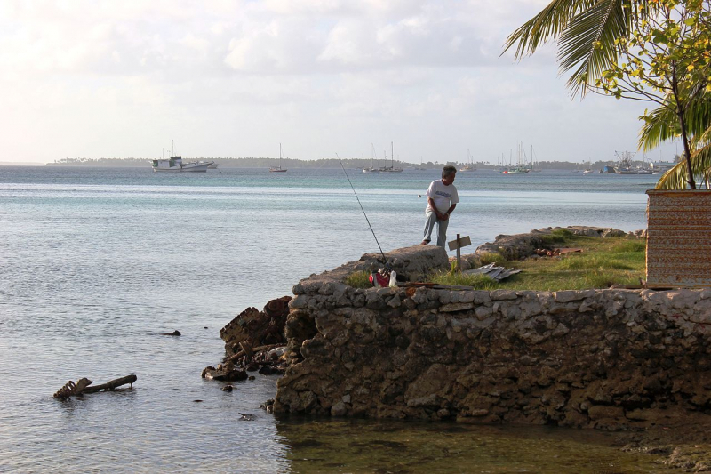
wikipedia.org -
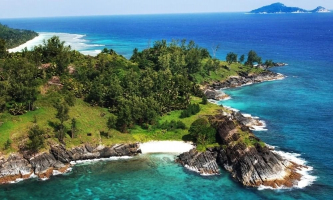
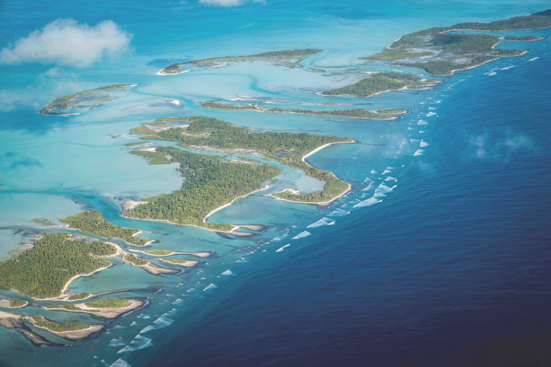
The last island on the list of the most beautiful islands in Marshall Islands is Bikini Atoll. This island, also known as Eschscholtz Atoll between the 1800s and 1946, is a coral reef in the Marshall Islands made up of 23 islands encircling a 229.4-square-mile (594.1-square-kilometer) central lagoon. Wdejebato, a possible shield volcano connected to the atoll by a submerged ridge, is located 74 kilometers northwest of the atoll. The islands are extremely hot and humid. All year, the water temperature ranges from 80 to 85 degrees Fahrenheit (27 to 29 degrees Celsius). The islands are located along the Pacific typhoon belt. The wet season lasts from May to December, while the trade winds provide more wave activity from January to May.
Native foods grown by the islanders included coconut, pandanus, papaya, banana, arrowroot, taro, limes, breadfruit, and pumpkin. The islands also have a diverse range of other trees and flora. The islanders are skilled fishermen. They utilized coconut husk fishing lines and sharpened sea shell hooks. They employed around 25 different fishing tactics. For sustenance, the islanders bred ducks, pigs, and chickens. The atomic bomb tests had a significant impact on the atoll's animal life. Small lizards, hermit crabs, and coconut crabs are among the existing land species. Birds from all around the world visit the islands.
Location: Marshall Islands
wikipedia.org 
tripadvisor.com