Top 6 Most Beautiful Islands In Solomon Islands
The Solomon Islands are a fragmented archipelago of hilly islands and low-lying coral atolls stretching 900 miles south-east from the Shortlands Islands to the ... read more...Santa Cruz Islands. Let's find out with Toplist the most beautiful islands in Solomon Islands
-
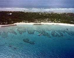
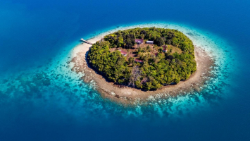
Choiseul is the largest island (2,971 km2) in the Solomon Islands' Choiseul Province. On Taro Island, the administrative offices of Choiseul Province are located in the town of Taro.
This island is located southeast of Papua New Guinea's Bougainville Island and north of the New Georgia islands' Noro. It features a number of small satellite islands, as well as a bigger one, Rob Roy Island, off its southern end, separated by the Nggosele Channel.
Hugo Bernatzik, an Austrian anthropologist and photographer, visited Choiseul Island in 1932. Bernatzik researched and described some of the island people's few remaining ancestral customs in an ethnography released a few years later. He also took images of the islanders and returned with a stone urn with carvings, which he believed reflected a disappearing civilization in contact with the contemporary world.
Blackbirding was a problem for the Choiseul islanders in the nineteenth century (the often brutal recruitment or kidnapping of labourers for the sugar plantations in Queensland and Fiji).Location: Choiseul Province
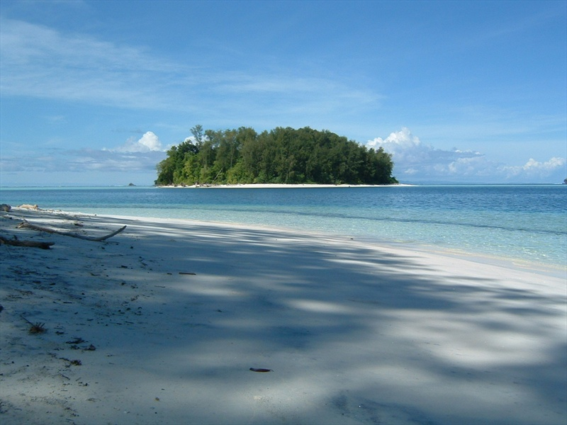
Photo: Explorra 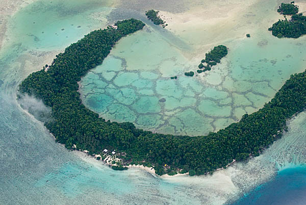
Photo: Explorra -
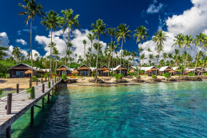
Guadalcanal is the largest island in the Solomon Islands' Guadalcanal Province, which is located in the southwest Pacific, northeast of Australia. It is the most beautiful islands in Solomon Islands. The island has a steep hinterland and is mostly covered in deep tropical rainforest.
According to archaeological finds at Poha Cave and Vatuluma Posovi, the island has been inhabited from at least 4500-2500 BC. Austronesian Lapita peoples inhabited the islands from 1200-800 BC.
Honiara is the capital of the Solomon Islands and the largest city in Guadalcanal. The discovery of Guadalcanal by westerners took place in 1568, during the Spanish expedition of lvaro de Mendaa. Pedro de Ortega Valencia, a participant of Mendaa's expedition, was born in the village of Guadalcanal, in the province of Seville, in Andalusia, Spain.
Location: Guadalcanal Province
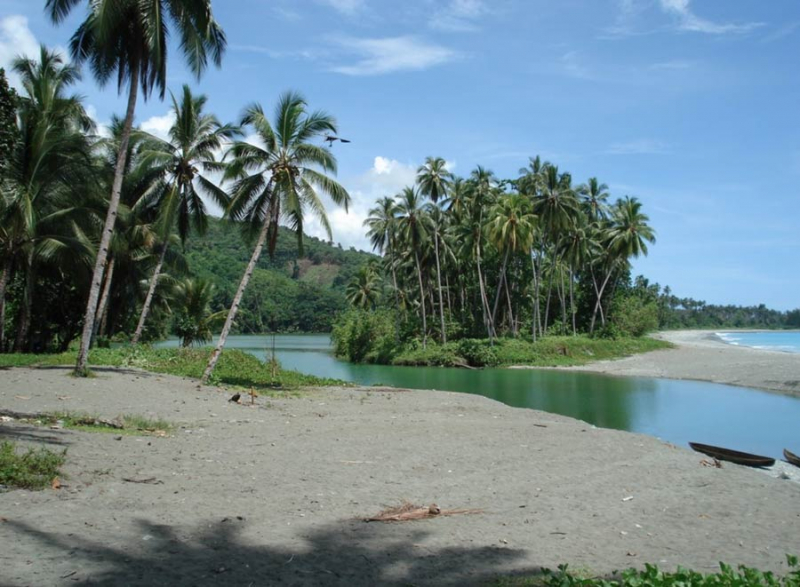
Photo: DX News 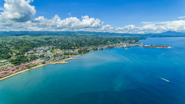
Photo: IStock -
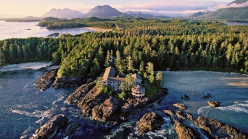
Malaita is the main island of Solomon Islands' Malaita Province. Malaita is the Solomon Islands' most populous island, with a population of 161,832 people as of 2021, accounting for more than a third of the country's total population. It is also the country's second-largest island by area, after Guadalcanal. Malaita is a tropical and mountainous island with undeveloped river systems and tropical vegetation.
Auki, on the northwest coast and on the northern shore of the Langa Langa Lagoon, is the major city and province capital. The people of the Langa Langa and Lau Lagoons on Malaita's northeast coast are known as wane I asi, or "salt-water people," as opposed to wane I tolo, or "bush people," who live in the interior of the island.
Mala, or its dialect variants Mara and Mwala, are the most common names for the island. The name Malaita or Malayta appears in the logbooks of Spanish explorers who visited the islands in the 16th century, claiming it to be the correct name.
Location: Malaita Province
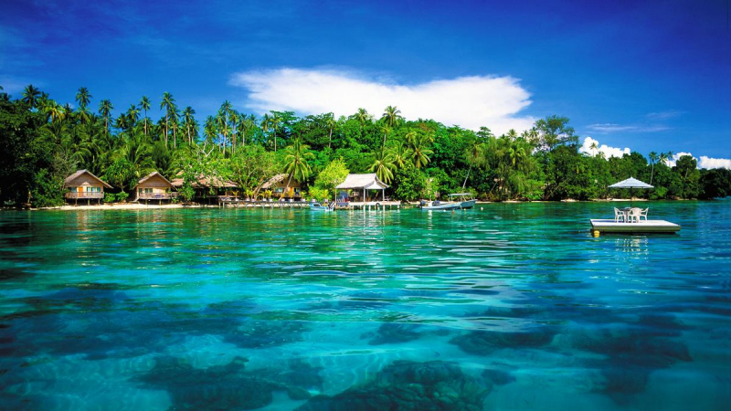
Photo: DX News 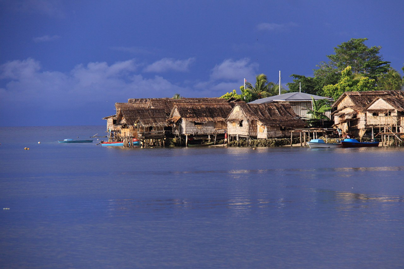
Photo: Wikimedia Commons -
Makira (sometimes spelled San Cristobal or San Cristóbal) is the largest island in the Solomon Islands' Makira-Ulawa Province. With a population of 55,126 people as of 2020, it is the third most populous island after Malaita and Guadalcanal. East of Guadalcanal and south of Malaita, the island is located. Kirakira is the largest and capital city. It is also one of the most beautiful island in Solomon Islands.
BirdLife International has designated Makira island, an 182,550 ha stretch of mostly forested territory spanning the island's eastern half, as an Important Bird Area (IBA) because it supports populations of several vulnerable or unique bird species. The site stretches from the island's rocky cliffs to the center Bauro Highlands, including the Warihito and Raro River catchments, reaching an altitude of 1,200 m and mostly consisting of tropical rainforest. With steep-sided valleys, numerous streams and waterfalls, and little perched floodplains, the environment is rough. Logging, invasive species, and human population expansion are all potential environmental risks.
Location: Makira-Ulawa Province\
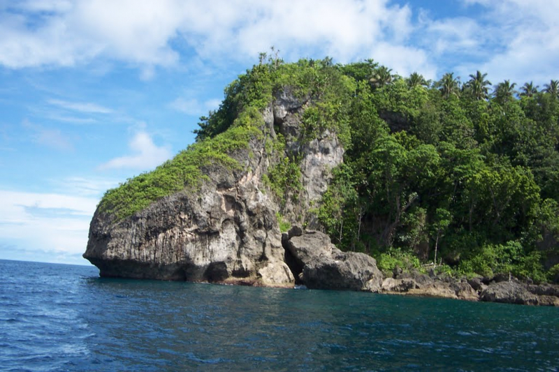
Photo: Mapio.net 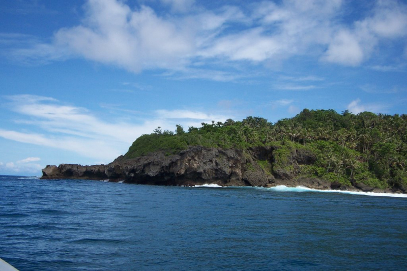
Photo: Mapio.net -
New Georgia, with a total size of 2,037 km2, is the largest of the Solomon Islands' Western Province islands and the world's 200th largest island. New Georgia is a volcanic island that is partially surrounded by a coral reef. Mount Masse, at an elevation of 860 meters, is the highest peak.
The island has a humid and tropical environment, and cyclones are common. New Georgia is densely forested, with mangroves growing in the marshy parts.
In 1999, the island's population was 19,312. The majority of the population lives on the south shore, while the largest community is Munda, which is located in the west. The settlement of Sege is located on the southeastern shore. Several Melanesian languages are spoken by the islanders. The 10 languages spoken on the island are from the New Georgia language family, which is a subgroup of the Northwest Solomonic languages within the Oceanic languages, an Austronesian language family.
Location: Western Province
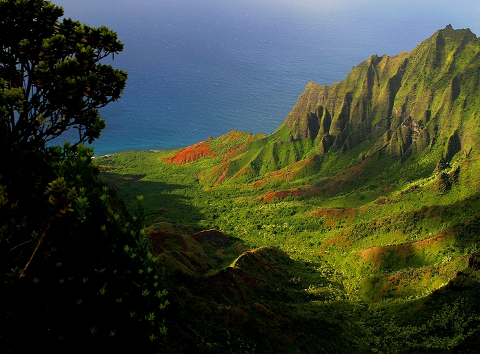
Photo: DX News 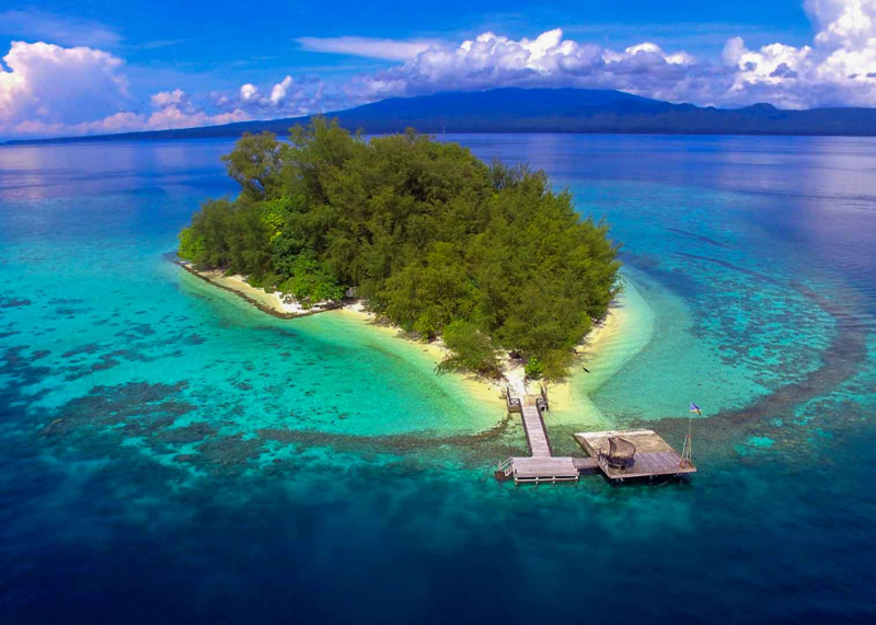
Photo: Dive Aventures -
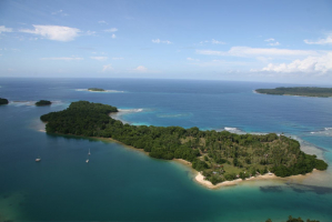
Santa Isabel Island (also known as Isabel, Ysabel, and Mahaga) is the longest island in the Solomon Islands, the third biggest by surface area, and the largest in the Isabel Province group of islands. It is one of the most beautiful island in Solomon Islands.
Mount Sasari, at 1220 meters, is Santa Isabel's highest peak (3,675 ft). The Marutho river flows from Mount Sasari to Hofi, where it meets the sea. Except for those on the Katova side of the island, almost all rivers and streams flow from that central location.
On 7 February 1568, the Spanish explorer lvaro de Mendaa made the first European landfall in the Solomon Islands archipelago at Santa Isabel Island. Santa Isabel de la Estrella was the name given to it (St. Elizabeth of the Star of Bethlehem in Spanish).
Location: Isabel Province
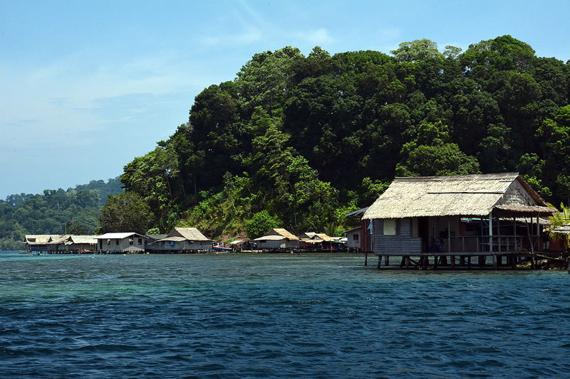
Photo: Living Oceans Foundation 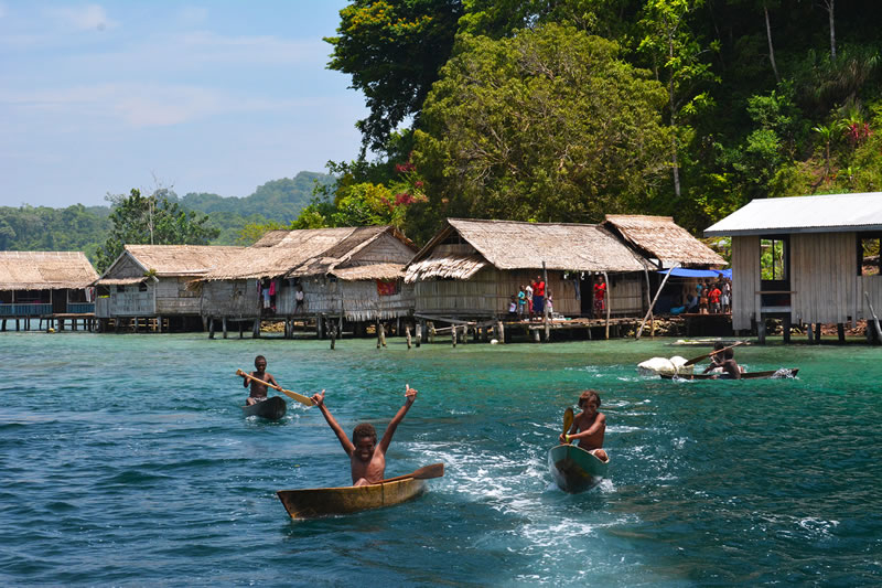
Photo: Living Oceans Foundation


