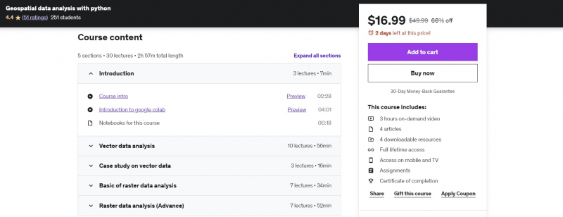
Geospatial data analysis with python
Spatial data is another name for geospatial data. It includes information on where items or objects are located. In this course, you'll read data from a variety of sources (such as a geographic database) and formats (such as shapefiles, geojson, geo package, GeoTIFF, and so on), do spatial analysis, and look for spatial data insights.
GeoPandas will be covered in this course. It is a free and open-source Python tool that allows you to read, write, and analyze vector datasets. It enhances pandas' datatypes to support spatial operations on geometric types. It also uses fiona for file access and matplotlib for data presentation. You may also learn more about Fiona. It can read and write geographic data files, which makes it easier for Python programmers to interface GIS systems with other computer systems. Fiona includes extension modules that connect the Geospatial Data Abstraction Library to other applications (GDAL).
Requirements:
- Basic programming knowledge
- Basic understanding about the geospatial data
Who this course is for:
- Students who want to became a geospatial software developer
- Python users who are interested to work with geospatial data
- GIS users who are new to python and want to automate the geospatial analysis
- Students who want to became a data scientist by show-case these projects on his/her resume
- Anyone who is interested to work on spatial data
Course Rating: 4.4/5
Enroll here: https://www.udemy.com/course/geospatial-data-analysis-with-python/


