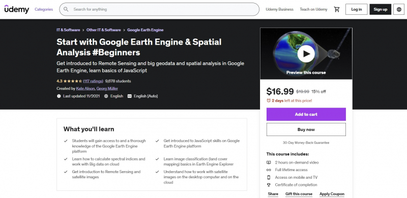
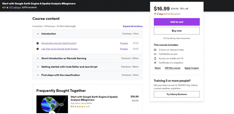
Start with Google Earth Engine & Spatial Analysis #Beginners

This course will teach customers how to do geospatial analysis activities using Big Data on the cloud using GIS for fundamental geospatial data/GIS/Remote Sensing analysis. This course will teach you all you need to know about remote sensing and geospatial analysis in Google Earth Engine.
The course will begin with a full overview of the Earth Engine Platform, then move on to the fundamentals of satellite image and image analysis (which are required to work with Earth Engine), and finally to a detailed discussion of JavaScript principles for spatial analysis.
The course will cover fundamental building blocks to provide you the background information you need to get started with cloud analysis. You will feel secure and grasp the fundamentals of JavaScript for spatial analysis with Big Data on the Google Earth Engine cloud at the conclusion of the course. This course will also equip you to use open source and free software tools for geospatial analysis.
Requirements:
- A working computer with internet connection
- Some knowledge of Remote Sensing / GIS would be an advantage
Who this course is for:
- Geographers, Programmers, geologists
Course Rating: 4.3/5
Enroll here: https://www.udemy.com/course/google-earth-engine-spatial-analysis-remote-sensing-gis/