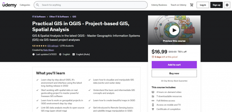
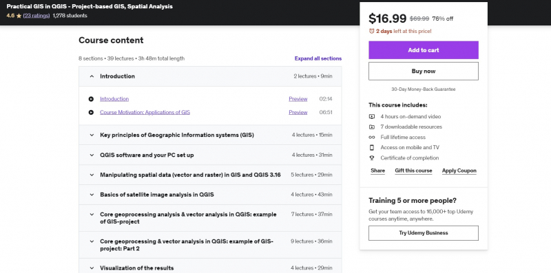
Practical GIS in QGIS - Project-based GIS, Spatial Analysis
This course is one of the Best Online Spatial Analysis Courses. It introduces students to GIS (geographic information systems) as well as Remote Sensing through a project-based approach. This course uses the most recent version of the open-source QGIS software, which is accessible for free and may be used to learn GIS, remote sensing, and geographic data processing. This practical geospatial analysis course will teach you how to use a GIS in a short amount of time.
By the end of the course, you will have gained confidence in and a thorough understanding of GIS and Remote Sensing technologies. You will also have learned how to solve geospatial tasks and create stunning maps utilizing your data and open street map data via practice. This course will teach students how to use open source and free software tools to learn the fundamentals of GIS and remote sensing.
You'll go through how GIS and Remote Sensing may be utilized in a variety of sectors, including agriculture, geology, mining, hydrology, forestry, environmental, and more! Because this is a hands-on, practical course, you will only spend a small amount of time addressing theoretical concepts related to spatial analysis before working with real-world data.
Requirements:
- Interest in the topic
- A working PC with internet connection
Who this course is for:
- Anyone interested in learning project-oriented GIS analysis and getting started with GIS and QGIS
Course Rating: 4.6/5
Enroll here: https://www.udemy.com/course/applied-gis-in-qgis-in-2021-project-based-spatial-analysis/


