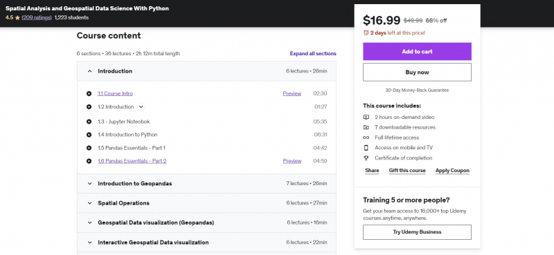
Spatial Analysis and Geospatial Data Science With Python
Geospatial science is a branch of data science that focuses on spatial data and the tools that go with it. It goes beyond making maps and focusing just on where events occur to include spatial analysis and insights drawn from spatial data. Let's establish the groundwork for a career in geospatial data science in this course. You'll learn about Geopandas, the workhorse of Python modules for geospatial data research.
The topics taught in this course include a wide range of spatial approaches often employed in geospatial data science. You'll learn how to successfully read spatial data, modify and analyze geographic data, and perform spatial operations.
Geocoding, reverse geocoding, accessing OpenStreetMap data in Python, and advanced tips and tactics for processing huge geospatial datasets are covered in the last section. You will be able to do the majority of geospatial data science operations in Python at the end of this course, as well as have a strong foundation in Geospatial Python.
Requirements:
- Basic Understanding of Python
- No GIS knowledge is required
- Install Anaconda and GeoPython libraries
Who this course is for:
- Students who want to learn Python for Geospatial Data Science.
- Students who like to take their first steps in the Geospatial data science career.
- Python users who are interested in Spatial Data Science.
- GIS users who are new to python and Jupyter notebooks for Geographic data analysis.
Course Rating: 4.5/5
Enroll here: https://www.udemy.com/course/spatial-data-science-with-python/


