Top 10 Best Online Spatial Analysis Courses

Any formal approach that analyses things utilizing their topological, geometric, or geographic features is referred to as spatial analysis or spatial ... read more...statistics. Spatial analysis encompasses a wide range of techniques, many of which are still in their early stages of development, that employ various analytic methodologies and are used in a wide range of domains. Because of its benefits and practical uses, there are a plethora of work prospects that require knowledge of spatial analysis. Let's enroll in the Best Online Spatial Analysis Courses to learn about future career options.
-
Do you find that other remote sensing courses are too brief and ambiguous, and that they do not adequately educate you for real-world problems? Are you seeking for a course that covers all of the principles of remote sensing in great detail? This course provides a solid basis for doing practical, real-world remote sensing spatial analysis, as well as the skills and expertise needed to address a wide range of geological and environmental issues.
This course introduces you to remote sensing, which is the process of gathering information about the planet from afar using airborne and spaceborne sensors. Humans can solve many critical environmental, topographical, and geological challenges thanks to the wealth of earth observation data.
Passive sensors, synthetic aperture radar, and LiDAR are among the current satellite sensor systems for remote sensing analyses that the students will learn about. They will study the precise methods for pre-processing pictures, including radiometric and atmospheric correction techniques, in addition to understanding the essential ideas, vocabulary, and theories in remote sensing research and application.
Requirements:
- No prior knowledge of remote sensing is required
- Anyone interested in remote sensing or using spatial data
Who this course is for:
- Academics
- Researchers
- Anyone who wants to learn about and how to use remote sensing
- Anyone who wants to use spatial data to solve geological and environmental questions
Course Rating: 4.8/5
Enroll here: https://www.udemy.com/course/introduction-to-remote-sensing-1/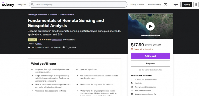
https://www.udemy.com/ 
https://www.udemy.com/ -
Are you enrolled in the Fundamentals of Remote Sensing and Geospatial Analysis course and looking to advance your remote sensing knowledge? Do you have some experience with remote sensing and want to learn how to analyze images? The next step for you is to learn how to analyze remote sensing data with ENVI software. This course gives a solid basis for utilizing ENVI software to do practical and real-world remote sensing image analysis.
Within Industry and Research, ENVI is the most extensively utilized remote sensing and image processing tool. Actual photos and data from Landsat 8 and other prominent satellites will be used in this course to provide you hands-on experience with image processing techniques. Let's start by going over the fundamental tools in ENVI and learning how to use them. Let's learn the fundamentals of remote sensing image processing with ENVI software to kickstart your remote sensing career! Hopefully, you will JOIN NOW and learn the remote sensing software that is required in business and research!
Requirements:
- Have a basic knowledge and understanding of remote sensing principles
- Have access to ENVI software
Who this course is for:
- Anyone who wants to learn how to use ENVI to process remote sensing satellite images
- Anyone interested in learning how to utilize the ENVI program
Course Rating: 4.6/5
Enroll here: https://www.udemy.com/course/remote-sensing-image-analysis-with-envi-software/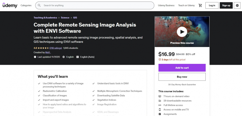
https://www.udemy.com/ 
https://www.udemy.com/ -
This course is one of the Best Online Spatial Analysis Courses. It introduces students to GIS (geographic information systems) as well as Remote Sensing through a project-based approach. This course uses the most recent version of the open-source QGIS software, which is accessible for free and may be used to learn GIS, remote sensing, and geographic data processing. This practical geospatial analysis course will teach you how to use a GIS in a short amount of time.
By the end of the course, you will have gained confidence in and a thorough understanding of GIS and Remote Sensing technologies. You will also have learned how to solve geospatial tasks and create stunning maps utilizing your data and open street map data via practice. This course will teach students how to use open source and free software tools to learn the fundamentals of GIS and remote sensing.
You'll go through how GIS and Remote Sensing may be utilized in a variety of sectors, including agriculture, geology, mining, hydrology, forestry, environmental, and more! Because this is a hands-on, practical course, you will only spend a small amount of time addressing theoretical concepts related to spatial analysis before working with real-world data.
Requirements:
- Interest in the topic
- A working PC with internet connection
Who this course is for:
- Anyone interested in learning project-oriented GIS analysis and getting started with GIS and QGIS
Course Rating: 4.6/5
Enroll here: https://www.udemy.com/course/applied-gis-in-qgis-in-2021-project-based-spatial-analysis/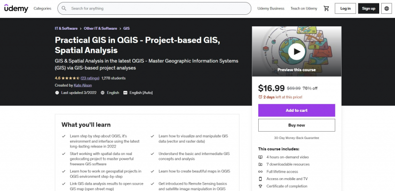
https://www.udemy.com/ 
https://www.udemy.com/ -
Geospatial science is a branch of data science that focuses on spatial data and the tools that go with it. It goes beyond making maps and focusing just on where events occur to include spatial analysis and insights drawn from spatial data. Let's establish the groundwork for a career in geospatial data science in this course. You'll learn about Geopandas, the workhorse of Python modules for geospatial data research.
The topics taught in this course include a wide range of spatial approaches often employed in geospatial data science. You'll learn how to successfully read spatial data, modify and analyze geographic data, and perform spatial operations.
Geocoding, reverse geocoding, accessing OpenStreetMap data in Python, and advanced tips and tactics for processing huge geospatial datasets are covered in the last section. You will be able to do the majority of geospatial data science operations in Python at the end of this course, as well as have a strong foundation in Geospatial Python.
Requirements:
- Basic Understanding of Python
- No GIS knowledge is required
- Install Anaconda and GeoPython libraries
Who this course is for:
- Students who want to learn Python for Geospatial Data Science.
- Students who like to take their first steps in the Geospatial data science career.
- Python users who are interested in Spatial Data Science.
- GIS users who are new to python and Jupyter notebooks for Geographic data analysis.
Course Rating: 4.5/5
Enroll here: https://www.udemy.com/course/spatial-data-science-with-python/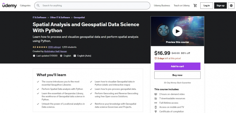
https://www.udemy.com/ 
https://www.udemy.com/ -
Spatial data is another name for geospatial data. It includes information on where items or objects are located. In this course, you'll read data from a variety of sources (such as a geographic database) and formats (such as shapefiles, geojson, geo package, GeoTIFF, and so on), do spatial analysis, and look for spatial data insights.
GeoPandas will be covered in this course. It is a free and open-source Python tool that allows you to read, write, and analyze vector datasets. It enhances pandas' datatypes to support spatial operations on geometric types. It also uses fiona for file access and matplotlib for data presentation. You may also learn more about Fiona. It can read and write geographic data files, which makes it easier for Python programmers to interface GIS systems with other computer systems. Fiona includes extension modules that connect the Geospatial Data Abstraction Library to other applications (GDAL).
Requirements:
- Basic programming knowledge
- Basic understanding about the geospatial data
Who this course is for:
- Students who want to became a geospatial software developer
- Python users who are interested to work with geospatial data
- GIS users who are new to python and want to automate the geospatial analysis
- Students who want to became a data scientist by show-case these projects on his/her resume
- Anyone who is interested to work on spatial data
Course Rating: 4.4/5
Enroll here: https://www.udemy.com/course/geospatial-data-analysis-with-python/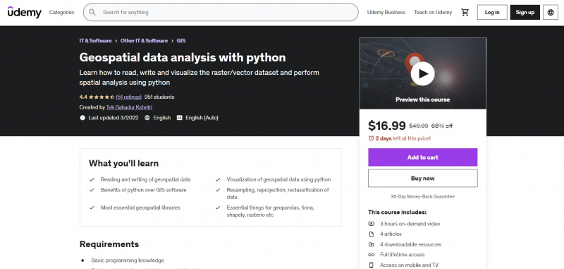
https://www.udemy.com/ 
https://www.udemy.com/ -
Google Earth Engine for Remote Sensing: from Zero to Hero is also one of the Best Online Spatial Analysis Courses. This course will teach customers how to do geospatial analysis activities using Big Data on the cloud using GIS for fundamental geospatial data/GIS/Remote Sensing analysis. This course offers more than 5 hours of video content, plenty of practical analysis, and downloadable tools to help you get started and enhance your abilities with geospatial analysis.
After completing this course, you will be able to use Big Data on the cloud to do PRACTICAL, real-world spatial geospatial analysis and activities. This course will provide you with theoretical and practical understanding of applied geospatial analysis, namely Remote Sensing and certain Geographic Information Systems (GIS). To execute geographical analysis in the cloud, this course stresses the need of understanding the Google Earth Engine platform and JavaScript.
You will feel competent and fully understand the fundamentals of JavaScript for spatial analysis at the conclusion of the course, and you will learn real geospatial analysis with Big Data on the Google Earth Engine cloud. This course will also equip you to use open source and free software tools for geospatial analysis.
Requirements:
- An interest in working with geospatial data
- A working computer with internet connection
Who this course is for:
- Geographers, Programmers, geologists, biologists, social scientists, or every other expert who deals with GIS maps in their field
Course Rating: 4.4/5
Enroll here: https://www.udemy.com/course/google-earth-engine-for-big-geodata-analysis-3-courses-in-1/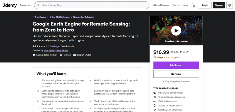
https://www.udemy.com/ 
https://www.udemy.com/ -
The ArcGIS Spatial Analysis Module is an add-on module for ArcGIS for Desktop that may be purchased separately. This module is compatible with any licensing level. Generation of spatial data and preliminary treatment, spatialization of attribute data and scale modification of spatial data, display and exploration of spatial data are some of the techniques used in geographic analysis. The Spatial Analysis Add-On Module enables you to do in-depth spatial analysis and model development for raster and vector data.
This course will teach you how to determine the most ideal location, how to provide low-cost transit from one point to another, land use analysis, identifying dangerous regions for fire, flood, earthquake, and other catastrophes, erosion detection, crime analysis, and demographic analysis. This course will teach you how to conduct these and other transactions. In your projects, you will be able to handle and evaluate spatial issues. This course begins with the fundamentals. In the apps, real-project scenarios are used.
Requirements:
- None
Who this course is for:
- Surveying Engineers
- Spatial Analyst
- Urban Planners
- Master Education Students, Engineering Students
- Civil Engineers
Course Rating: 4.3/5
Enroll here: https://www.udemy.com/course/how-to-use-spatial-analyses-in-real-projects-by-using-rcgis/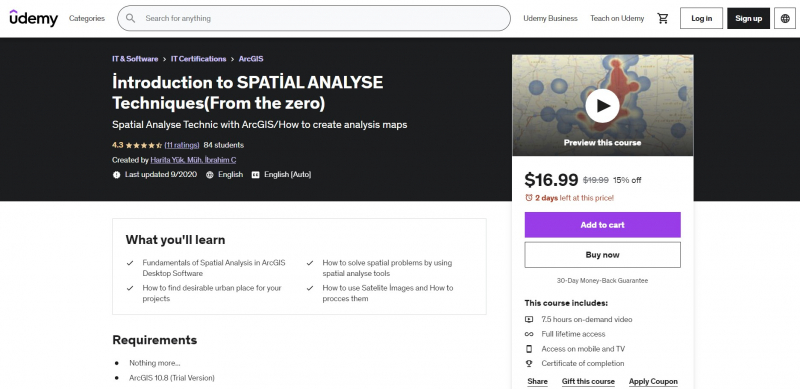
https://www.udemy.com/ 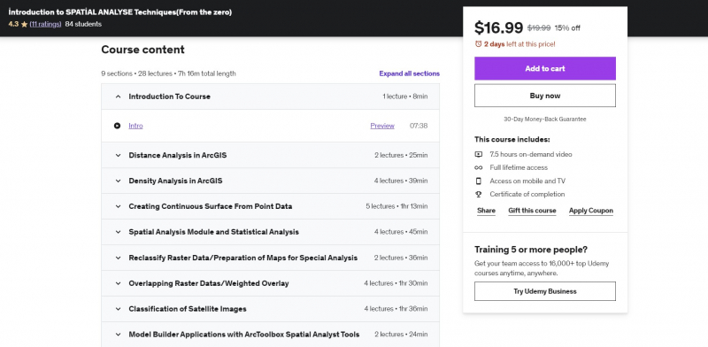
https://www.udemy.com/ -
QGIS & Google Earth Engine for Environmental Applications is among the Best Online Spatial Analysis Courses. This course will teach students how to utilize QGIS and Google Earth Engine to do environmental analysis (land degradation monitoring, flood mapping, land cover change monitoring, land productivity, and so on) using Big Data on the cloud. The seminar will also cover how to use the TrendsEarth plugin in QGIS to calculate sustainable development goals (SDG) indicators. The teacher will also show you how to utilize EO-browser to learn about user-friendly cloud computing!
This course offers more than 5 hours of video content, plenty of practical analysis, and downloadable tools to help you get started and enhance your abilities with geospatial analysis. You will be able to use PRACTICAL, real-world spatial geospatial analysis for environmental applications and jobs with Big Data on the cloud and in QGIS after completing this course. This course will provide you with theoretical and practical understanding of applied geospatial analysis, namely Remote Sensing and certain Geographic Information Systems (GIS).
Requirements:
- A working computer with internet connection
- An interest in working with geospatial data
Who this course is for:
- Geographers, Programmers, geologists, biologists, social scientists
Course Rating: 4.3/5
Enroll here: https://www.udemy.com/course/qgis-google-earth-engine-for-environmental-applications/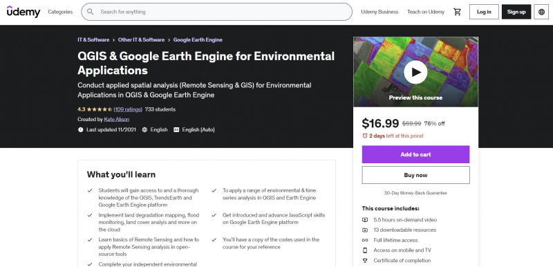
https://www.udemy.com/ 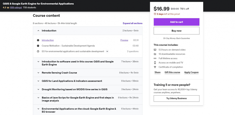
https://www.udemy.com/ -
This course will teach customers how to do geospatial analysis activities using Big Data on the cloud using GIS for fundamental geospatial data/GIS/Remote Sensing analysis. This course will teach you all you need to know about remote sensing and geospatial analysis in Google Earth Engine.
The course will begin with a full overview of the Earth Engine Platform, then move on to the fundamentals of satellite image and image analysis (which are required to work with Earth Engine), and finally to a detailed discussion of JavaScript principles for spatial analysis.
The course will cover fundamental building blocks to provide you the background information you need to get started with cloud analysis. You will feel secure and grasp the fundamentals of JavaScript for spatial analysis with Big Data on the Google Earth Engine cloud at the conclusion of the course. This course will also equip you to use open source and free software tools for geospatial analysis.
Requirements:
- A working computer with internet connection
- Some knowledge of Remote Sensing / GIS would be an advantage
Who this course is for:
- Geographers, Programmers, geologists
Course Rating: 4.3/5
Enroll here: https://www.udemy.com/course/google-earth-engine-spatial-analysis-remote-sensing-gis/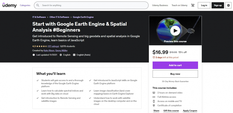
https://www.udemy.com/ 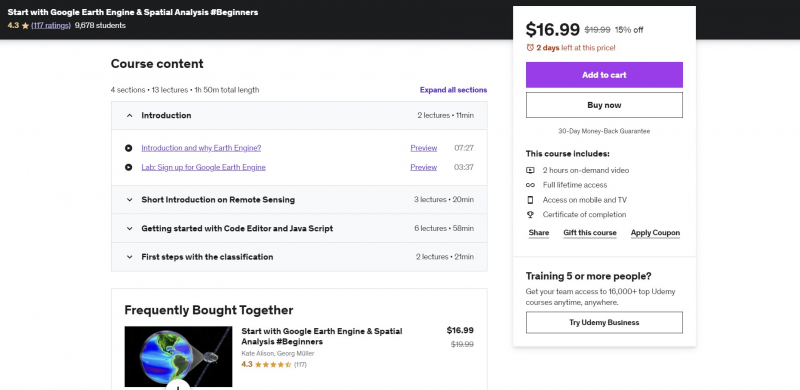
https://www.udemy.com/ -
Do you wish to use the Earth Engine Python API to access satellite sensors? Are you interested in learning how to use the QGIS Earth Engine plugin? Do you want to use Python to display and analyze satellite data? Let's get started with this hands-on training that includes real-world examples, sample scripts, and real-world applications.
You will be able to install QGIS and the Earth Engine plugin after completing this course. The Python API will then provide you access to satellite data. The teacher will guide you through the Earth Engine Python API and QGIS in this QGIS and Google Earth Engine Python API for Spatial Analysis course.
By the end of this course, you will have access to all sample scripts and data, allowing you to access, download, visualize, and extract information from large data. The high cost of software is one of the most typical issues with learning image processing. The Google Earth Engine Python API and QGIS open source technologies are used exclusively in this course. Throughout the course, you will receive all example data and scripts as a bonus.
Requirements:
- None
Who this course is for:
- This course is for professionals who wish to use the Google Earth Engine Python API and QGIS to their advantage.
- People who wish to learn how to use Python to comprehend various satellite image processing approaches.
- Anyone interested in learning how to visualize and extract data from satellites.
- People that deal with remote sensing data from satellites such as Landsat, MODIS, and Sentinel-2.
- Anyone interested in applying for a position as a GIS or Remote Sensing Specialist.
Course Rating: 4.3/5
Enroll here: https://www.udemy.com/course/python-for-spatial-data-analysis-with-earth-engine-and-qgis/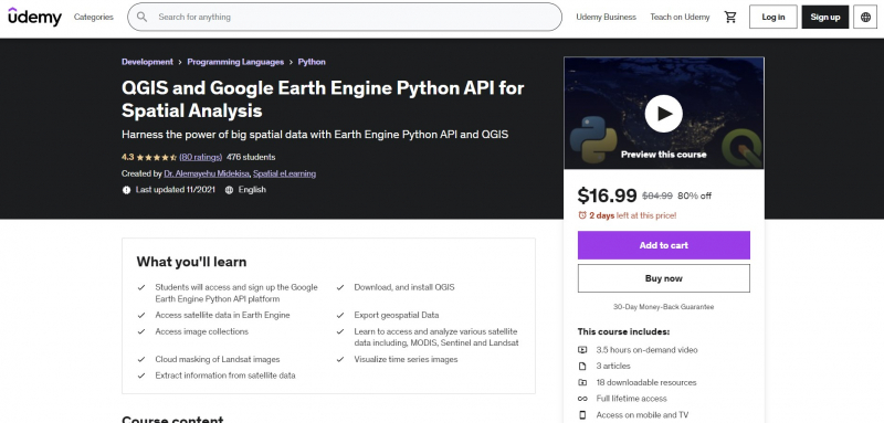
https://www.udemy.com/ 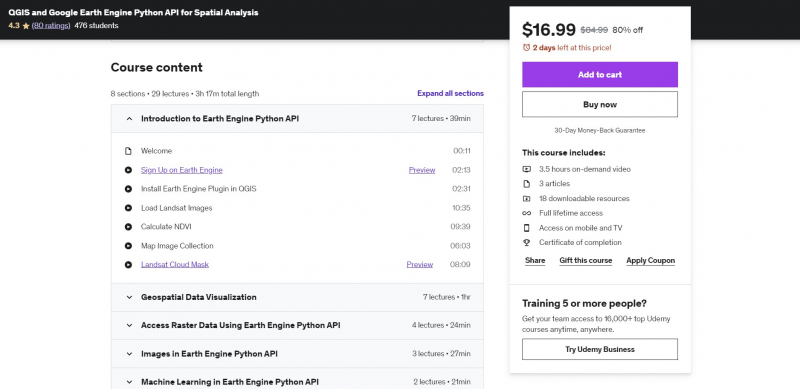
https://www.udemy.com/