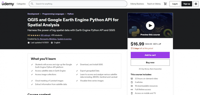
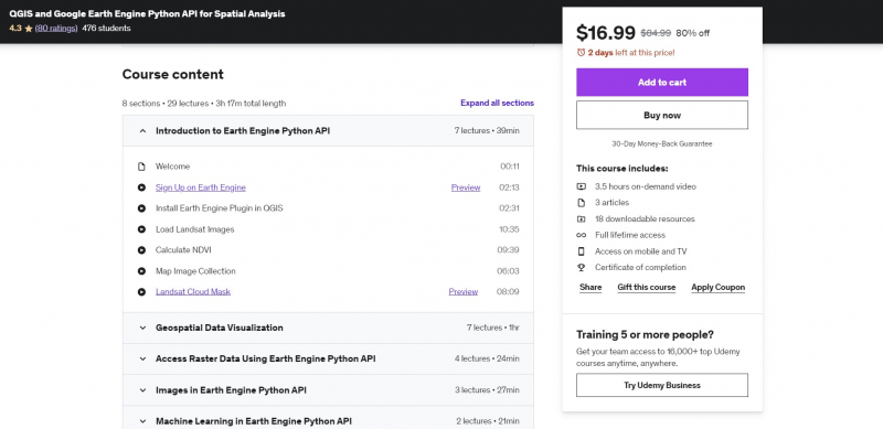
QGIS and Google Earth Engine Python API for Spatial Analysis
Do you wish to use the Earth Engine Python API to access satellite sensors? Are you interested in learning how to use the QGIS Earth Engine plugin? Do you want to use Python to display and analyze satellite data? Let's get started with this hands-on training that includes real-world examples, sample scripts, and real-world applications.
You will be able to install QGIS and the Earth Engine plugin after completing this course. The Python API will then provide you access to satellite data. The teacher will guide you through the Earth Engine Python API and QGIS in this QGIS and Google Earth Engine Python API for Spatial Analysis course.
By the end of this course, you will have access to all sample scripts and data, allowing you to access, download, visualize, and extract information from large data. The high cost of software is one of the most typical issues with learning image processing. The Google Earth Engine Python API and QGIS open source technologies are used exclusively in this course. Throughout the course, you will receive all example data and scripts as a bonus.
Requirements:
- None
Who this course is for:
- This course is for professionals who wish to use the Google Earth Engine Python API and QGIS to their advantage.
- People who wish to learn how to use Python to comprehend various satellite image processing approaches.
- Anyone interested in learning how to visualize and extract data from satellites.
- People that deal with remote sensing data from satellites such as Landsat, MODIS, and Sentinel-2.
- Anyone interested in applying for a position as a GIS or Remote Sensing Specialist.
Course Rating: 4.3/5
Enroll here: https://www.udemy.com/course/python-for-spatial-data-analysis-with-earth-engine-and-qgis/


