QGIS & Google Earth Engine for Environmental Applications

QGIS & Google Earth Engine for Environmental Applications is among the Best Online Spatial Analysis Courses. This course will teach students how to utilize QGIS and Google Earth Engine to do environmental analysis (land degradation monitoring, flood mapping, land cover change monitoring, land productivity, and so on) using Big Data on the cloud. The seminar will also cover how to use the TrendsEarth plugin in QGIS to calculate sustainable development goals (SDG) indicators. The teacher will also show you how to utilize EO-browser to learn about user-friendly cloud computing!
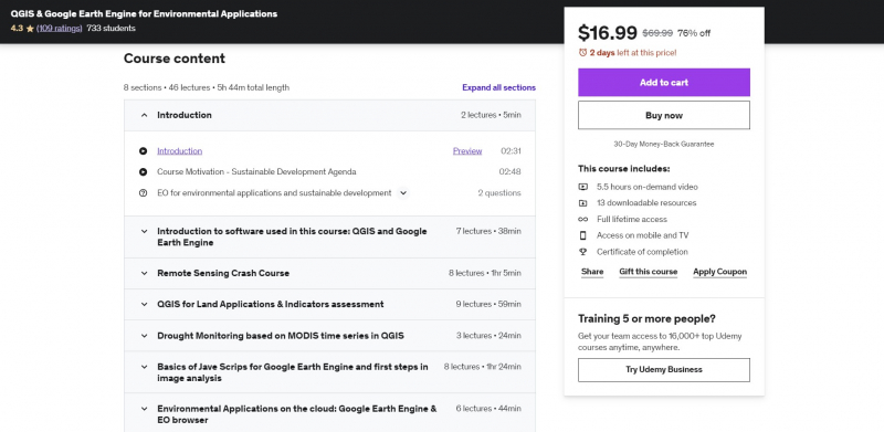
This course offers more than 5 hours of video content, plenty of practical analysis, and downloadable tools to help you get started and enhance your abilities with geospatial analysis. You will be able to use PRACTICAL, real-world spatial geospatial analysis for environmental applications and jobs with Big Data on the cloud and in QGIS after completing this course. This course will provide you with theoretical and practical understanding of applied geospatial analysis, namely Remote Sensing and certain Geographic Information Systems (GIS).
Requirements:
- A working computer with internet connection
- An interest in working with geospatial data
Who this course is for:
- Geographers, Programmers, geologists, biologists, social scientists
Course Rating: 4.3/5
Enroll here: https://www.udemy.com/course/qgis-google-earth-engine-for-environmental-applications/