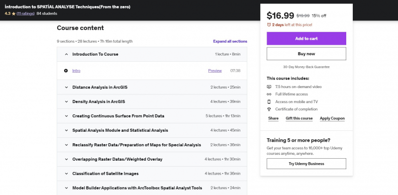
Introduction to SPATİAL ANALYSE Techniques (From the zero)
The ArcGIS Spatial Analysis Module is an add-on module for ArcGIS for Desktop that may be purchased separately. This module is compatible with any licensing level. Generation of spatial data and preliminary treatment, spatialization of attribute data and scale modification of spatial data, display and exploration of spatial data are some of the techniques used in geographic analysis. The Spatial Analysis Add-On Module enables you to do in-depth spatial analysis and model development for raster and vector data.
This course will teach you how to determine the most ideal location, how to provide low-cost transit from one point to another, land use analysis, identifying dangerous regions for fire, flood, earthquake, and other catastrophes, erosion detection, crime analysis, and demographic analysis. This course will teach you how to conduct these and other transactions. In your projects, you will be able to handle and evaluate spatial issues. This course begins with the fundamentals. In the apps, real-project scenarios are used.
Requirements:
- None
Who this course is for:
- Surveying Engineers
- Spatial Analyst
- Urban Planners
- Master Education Students, Engineering Students
- Civil Engineers
Course Rating: 4.3/5
Enroll here: https://www.udemy.com/course/how-to-use-spatial-analyses-in-real-projects-by-using-rcgis/


