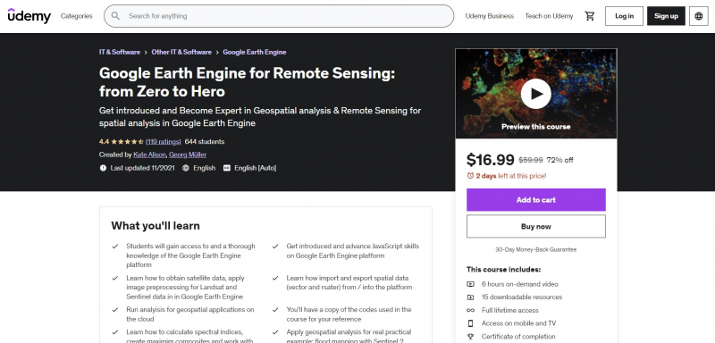
Google Earth Engine for Remote Sensing: from Zero to Hero
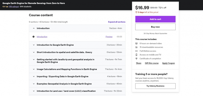
Google Earth Engine for Remote Sensing: from Zero to Hero is also one of the Best Online Spatial Analysis Courses. This course will teach customers how to do geospatial analysis activities using Big Data on the cloud using GIS for fundamental geospatial data/GIS/Remote Sensing analysis. This course offers more than 5 hours of video content, plenty of practical analysis, and downloadable tools to help you get started and enhance your abilities with geospatial analysis.
After completing this course, you will be able to use Big Data on the cloud to do PRACTICAL, real-world spatial geospatial analysis and activities. This course will provide you with theoretical and practical understanding of applied geospatial analysis, namely Remote Sensing and certain Geographic Information Systems (GIS). To execute geographical analysis in the cloud, this course stresses the need of understanding the Google Earth Engine platform and JavaScript.
You will feel competent and fully understand the fundamentals of JavaScript for spatial analysis at the conclusion of the course, and you will learn real geospatial analysis with Big Data on the Google Earth Engine cloud. This course will also equip you to use open source and free software tools for geospatial analysis.
Requirements:
- An interest in working with geospatial data
- A working computer with internet connection
Who this course is for:
- Geographers, Programmers, geologists, biologists, social scientists, or every other expert who deals with GIS maps in their field
Course Rating: 4.4/5
Enroll here: https://www.udemy.com/course/google-earth-engine-for-big-geodata-analysis-3-courses-in-1/


