Top 7 Highest Mountains in North Macedonia

Macedonia is mostly a hilly nation. The terrain has an average elevation of 850 meters. Hills and mountains cover around 80% of the land. The mountains are ... read more...separated into two primary groups: the arc Mountains mountain range in the north-west, which extends to the west, and the Vardar/Pelagonia mountain range in the south-west and south-east (contiguous with the Dinaric ranges). The Osogovo-Belasica mountain chain, on the other hand, is located in the south-east (westernmost section of the Rila-Rhodope Mountains).
-
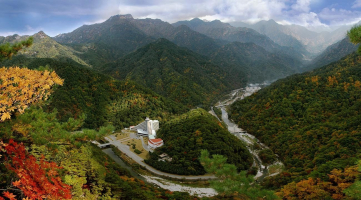
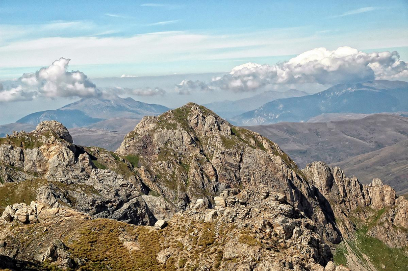
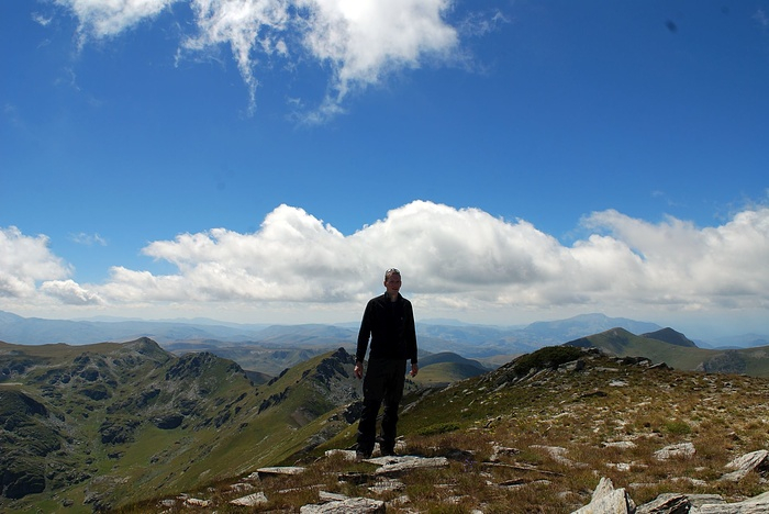
Korab (Albanian: Maja e Korabit or Mali I Korabit, Macedonian: олем орa, Great Korab) is the tallest peak of the namesake mountain range and the fourth highest mountain fully on the Balkan Peninsula, towering at 2,764 meters (9,068 feet).
Korab, located on the Albanian-Macedonian border, is the highest peak in Albania and North Macedonia, as well as one of only two summits in Europe that serve as the highest point for more than one nation. Mount Korab is also the 18th highest point in Europe and the third highest point on the Balkan Peninsula.
Korab is situated within the Korab-Koritnik Nature Park. It is known for its diverse flora, which includes Bosnian pine, European beech, Coppicing forest, and Alder woodland.
The summit is located near the Ar Mountains. Mount Korab is also shown in North Macedonia's national symbol.
Elevation: 2,764 m (9,068 ft)
Prominence: 2,169 m (7,116 ft)
Source: Wikipedia.com 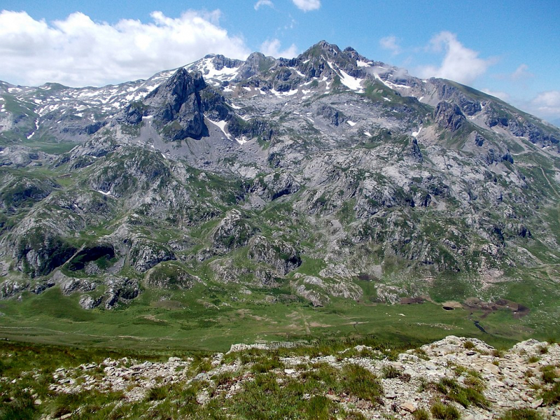
Source: fischer.cz -
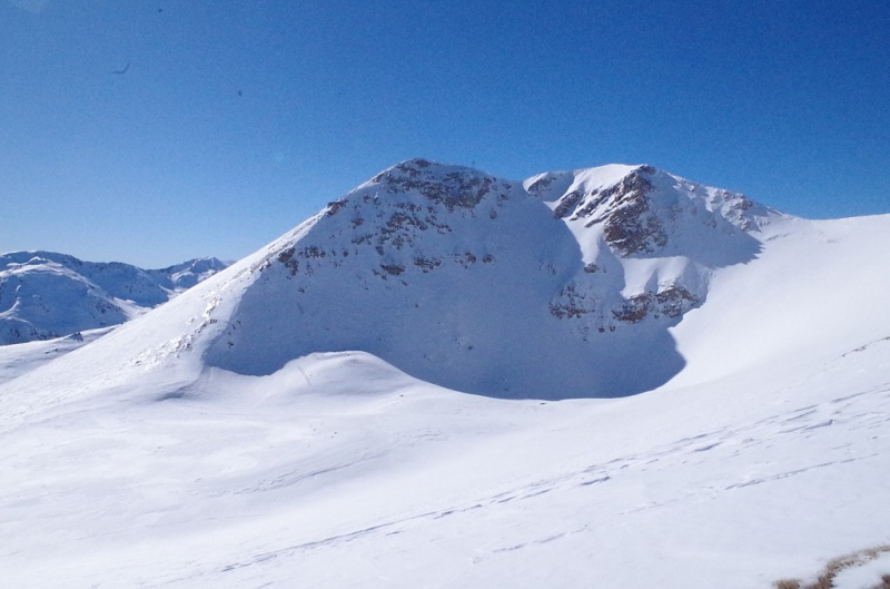
Titov Vrv, at 2,748 m, is the highest mountain in the Ar Mountains. It lies about 13 miles (21 kilometers) northwest of Tetovo, North Macedonia, on the border with Kosovo. The summit was named after Josip Broz Tito, the former communist leader of Yugoslavia. It was originally known as "Big Turk". Mount Aleksandar was called in 1934 after Yugoslav King Aleksandar, who was slain the same year by a Bulgarian independence warrior. During World War II, Bulgarian authorities reinstated its historic name in Yugoslav Macedonia. Following the establishment of Communist Yugoslavia, the mountain was renamed Tito Peak in 1953 to reflect the burgeoning personality cult.
Because of the cult status surrounding the benign ruler, the name has stayed intact in North Macedonia since Macedonian independence in 1991. However, it is still referred to as the "Big Turk" in numerous neighboring languages, including Turkish, Albanian, and Bulgarian.
Furthermore, the smaller neighboring peak is recognized throughout the world, especially in North Macedonia, as "Mal Turin," which translates as "Small Turk."
Elevation: 2,748 m (9,016 ft)
Source: Wikipedia.com 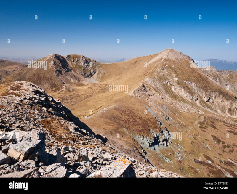
Source: alamy.com -
Mal Turin, sometimes known simply as Turin, is a hill in the Ar Planina mountains in northern North Macedonia. It is located at a height of 2702 meters above sea level. The Titov litter, formerly known as Golem Turin, is a short distance away and is the highest peak in the Ar Planina mountain range. The name means "Little Turk" or simply "Turk" in Czech.
The hill is in the center portion of the Ar Planina mountains, south of the Titov vrh peak and near the Trpeznica mountain, where the Pena river flows. The mountain may be reached through two ways from the Popova apka hotel near Tetovo (Vakufská stezka and Popova stezka).
Elevation: 2,702 m (8,864 ft)
Source: Wikipedia 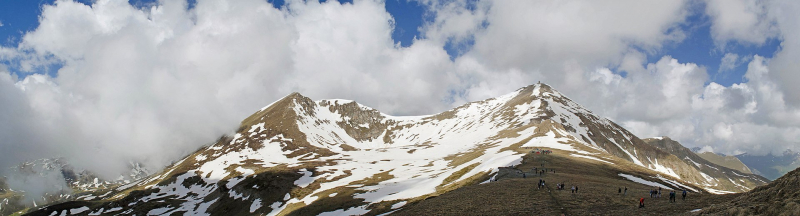
Source: Wikipedia -
Crni Kamen in Macedonia is the mountain's peak. It is located in the western portion of the country, 90 kilometers southwest of the country's capital, Skopje. Crni Kamen is located 1,753 meters above sea level.
The ground near Crni Kamen is hilly in the south but mountainous in the north. Alipaica, 1,954 meters above sea level and 1.8 kilometers north of Crni Kamen, is the highest peak in the region. Centar upa, 17.4 kilometers northwest of Crni Kamen, is the next major town. Rock formations and caverns are exceptionally numerous in the area near Crni Kamen.
The sagebrush forest nearly fully covers the region around Crni Kamen. Crni Kamen has an extremely modest population of roughly 7 persons per square kilometer. The weather is Mediterranean. The average temperature is 8 degrees Celsius. The hottest month is July, with a temperature of 20 degrees Celsius, while the coldest month is January, with a temperature of 3 degrees Celsius. The annual average rainfall is 1,319 millimeters. The wettest month is November, which receives 149 millimeters of rain, and the wettest month is August, which receives 50 millimeters of rain.
Elevation: 2,675 m (8,776 ft)
Source: Wikipedia.com 
Source: Wikiloc.com -
Bristavec is a Macedonian mountain. It is located in the western portion of the country, 50 kilometers west of the country's capital, Skopje. Bristavec is located 2,478 meters above sea level.
To the east, the ground around Bristavec is mountainous, whereas to the west, it is hilly. The highest point in the region is 2.6 kilometers southwest of Bristavec and has an elevation of 2,643 meters. Bristavec is rather thinly inhabited, with roughly 160 persons per square kilometer. Tetovo, 16.6 kilometers northeast of Bristavec, is the next major town. Rock formations are exceptionally prevalent in the area near Bristavec.
The land surrounding Bristavec is almost entirely covered. The weather is continental. The average temperature is 8 degrees Celsius. The hottest month is July, with a temperature of 20 degrees Celsius, while the coldest month is January, with a temperature of 6 degrees Celsius. The average annual rainfall is 1,160 millimeters. The wettest month is November, which receives 133 millimeters of rain, and the wettest month is August, which receives 34 millimeters of rain.
Elevation: 2,675 m (8,776 ft)
Source: hikr.org 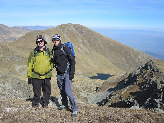
Source: hikr.org -
Dinibeg is a mountain summit in Macedonia's northwestern region. It is located in western Macedonia, 60 kilometers west of the capital Skopje. Dinibeg's summit rises 2,610 meters above sea level.
To the southwest, the landscape near Dinibeg is hilly, whereas to the northeast, it is mountainous. Dinibeg is situated on a slope that runs north to south. Titov Vrv, 2,784 meters above sea level and 3.3 kilometers east of Dinibeg, is the highest point nearby. The area around Dinibeg is heavily inhabited, with 207 people per square kilometer. Tetovo, 17.5 kilometers east of Dinibeg, is the nearest significant community.
The surrounding region of Dinibeg is largely agricultural terrain. The area has an inland climate. The yearly average temperature in the region is 5 degrees Celsius. The hottest month is July, with an average temperature of 18 ° C, while the coldest month is January, with an average temperature of 8 ° C. Formal paraphrase The yearly rainfall average is 1,160 millimeters. The wettest month is November, with an average rainfall of 133 mm, while the driest is August, with an average rainfall of 34 mm.
Elevation: 2,610 m (8,562 ft)
Source: Wikipedia.com 
Source: researchgate.net -
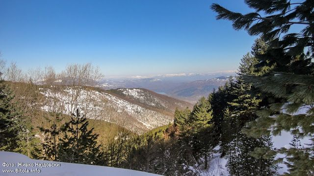
Pelister is the highest peak of Macedonia's third tallest mountain. It is situated in the country's southwest, on the northern slope of Mountain Baba. Pelister has a cone form. It has massive slopes covered with large granite boulders. On the top of Pelister, there is a memorial plate commemorating Dimitar Ilievski – Murato, the first and only Macedonian to climb Mount Everest. On May 10, 1989, he completed it alongside Slovenian Viki Groselj, Croat Stipe Bozic, and Sonam Tshering Sherpa. Regrettably, he perished on the way down.
Pelister may be reached from three different directions. The northern approach takes you from Trnovo settlement (accessible from Bitola) to the Kopanki hut (1600m) (2h). The eastern route runs from Nizepole village (through Bitola) to the Golemo Ezero hut (2218m) (4h). The western approach begins at Arvati settlement, near the Prespansko Ezero lake.
Elevation: 2,601 m (8,533 ft)
Source: pinterest.com 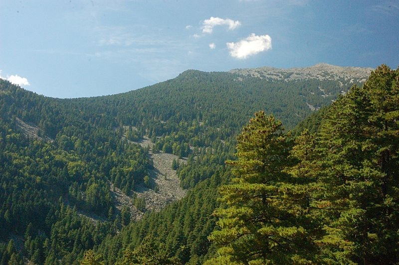
Source: wikimedia.org