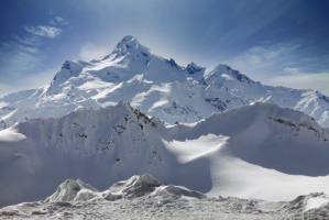
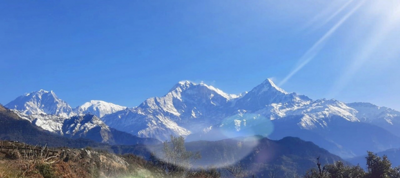
Top 5 Highest Mountains in Tajikistan

Tajikistan is a Central Asian country that was originally a Soviet Republic inside the Soviet Union before obtaining independence in 1991. The country is well ... read more...renowned for its harsh alpine scenery, which attracts hikers and climbers from all over the world. This noteworthy aspect about Tajikistan segues neatly into the topic of this article, Tajikistan's highest mountains.
-
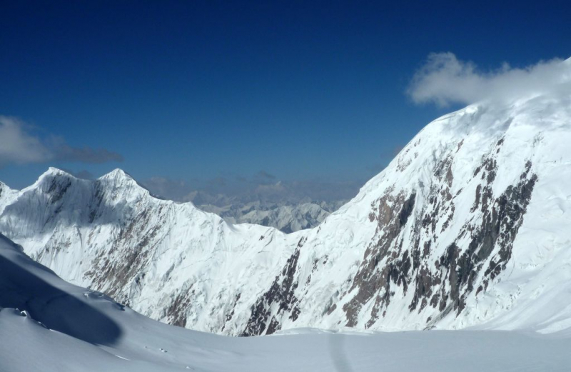
Ismail Somoni is Tajikistan's highest peak, towering at 24,590 feet in height. Ismail Somoni, like Korzhenevskaya, is situated in the Gorno-Badakhshan Autonomous Region, and its parent range is the Academy of Sciences Range, which is part of the larger Pamir mountain range. The tallest of the five snow leopard summits is Ismail Somoni.
The peak was dubbed Stalin Peak in 1933, but it was renamed Communist Mountain in 1962 as part of the Soviet Union's de-Stalinization drive. Tajikistan was dubbed the peak of Ismail Somoni after Isma'il ibn Ahmad (849-907), the guy regarded as the greatest monarch of the Samanid Empire (819-999). Yevgeniy Abalakov, a Soviet climber, made the first ascent of the peak in 1933. The ascent begins at the base camp of Moskvina Glade (4200m), which can only be reached by helicopter. As part of their acclimatization, many climbers try Vorobeva peak (5691 m) or Chetyreh peak (6299 m). Four more camps are needed to reach the remarkable tiny rocky top, which offers amazing panoramic views of the Pamirs and China.
Height: 24,590 feet
Location: Northwestern Gorno-Badakhshan, Tajikistan
peakbagger.com 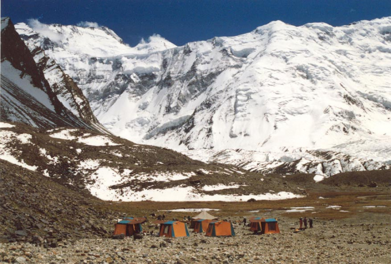
peakbagger.com -
Ibn Sina, formerly known as Lenin Peak, is the second-highest peak in Tajikistan and Kyrgyzstan, towering at 23,406 feet in height. The mountain is located in the Gorno-Badakhshan Autonomous Region, directly on Tajikistan's border with Kyrgyzstan. Ibn Sina's parent range is the Trans-Alay Range, which is part of the larger Pamir mountain range. One of the five snow leopard summits is Ibn Sina. Tajikistan called the peak Ibn Sina in 2006. It takes its name from the Persian polymath Abu Ali ibn Sina (c.980-1037). The peak was originally climbed in 1928 by Austrian Erwin Schneider (1906-87) and Germans Eugen Allwein (1900-82) and Karl Wien (c.1906-1937).
The first expedition to this region of Central Asia took place between 1774 and 1782. The involuntary voyage of the slave Filipp Efremov (an ethnic Russian) who fled from slavery in Bukhara is said to be the first recorded transit in the area. He passed via the Fergana Valley, then Osh, the Chigirik Pass, and the Terekdavan Pass before crossing the Karakorum. He was the first European to pass across the Alai Mountains.
The Trans-Alai (Zaalayskiy) Range and its major peak were found by Alexei Pavlovich Fedchenko in 1871, kicking off scientific excursions to the Alai Mountains. In the early twentieth century, the expedition of Nikolai Leopol'dovich Korzhenevskiy was likely the closest to the base of the eventual Lenin Peak.
Height: 23,406 feet
Location: Kyrgyzstan, Tajikistan
flickr.com 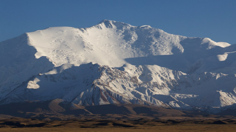
flickr.com -
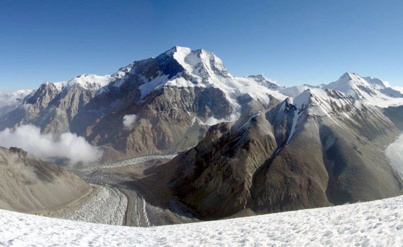
Korzhenevskaya is Tajikistan's third highest peak, towering at a height of 23,310 feet. The mountain is located in Gorno-Badakhshan Autonomous Region, and its parent range is the Academy of Sciences Range, which is part of the larger Pamir mountain range. Korzhenevskaya is one of the five snow leopard peaks in the old Soviet Union that a climber had to summit in order to win the Snow Leopard award, the highest honor bestowed upon a Soviet mountaineer. The summit is named after Evgenia Korzhenevskaya, the widow of Russian geographer Nikolai Korzhenevskiy (1879-1958), who found it in 1910. A.Ugarov and his team of men made the first climb of the peak in 1953.
Korzhenevskaya has been climbed from nearly every angle, including a first winter ascent in 1986; the majority of these ascents were made by Russians. It is only "easy" if all secured ropes are in place, which is done by guides - but this takes time. There are also some rope-free passages between 5800m and 6100m, where you may encounter pure ice or loose snow on the ice, and some places between 4700m and 6000m are vulnerable to rockfall, with some rocks being quite large. Acclimatized climbers typically require five days to get from the Moskvina base camp to the summit and return.
Height: 23,310 feet
Location: Pamir, Tajikistan
tourasia.kz 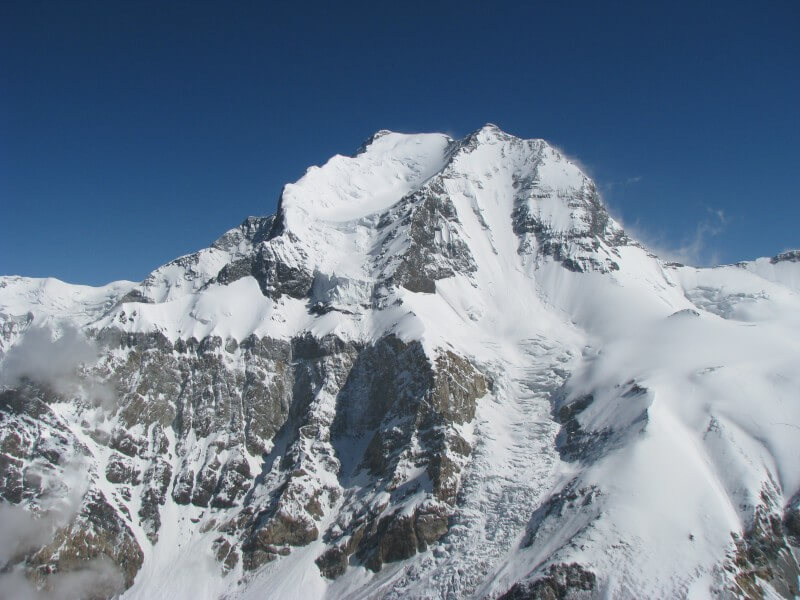
tourasia.kz -
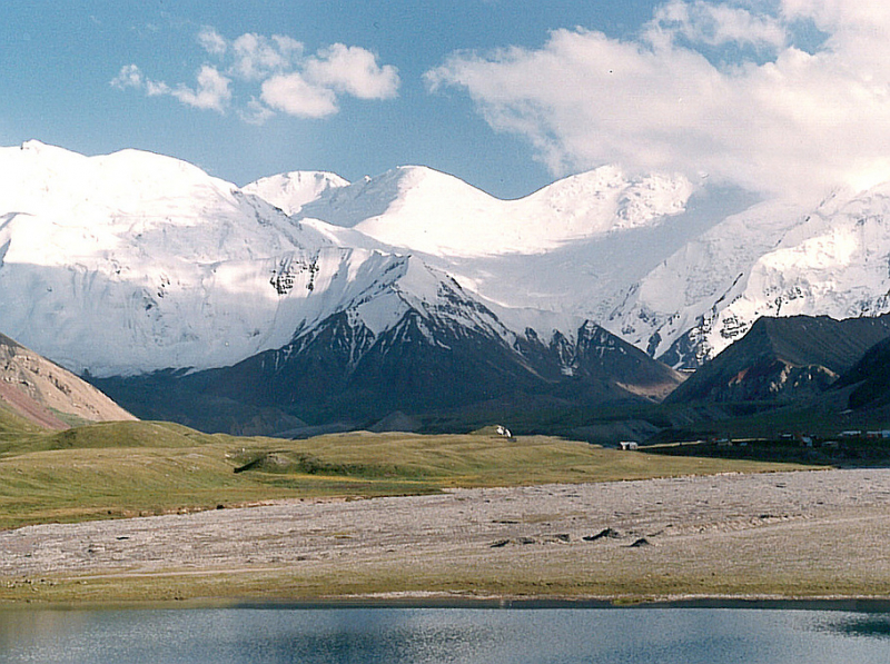
Tajikistan's Pik Yevgenii Korzhenevskoy is a mountain. It is located in the country's center, 280 kilometers east of the capital, Dushanbe. Pik Yevgenii Korzhenevskoy is located 7,105 meters above sea level, or 2,110 meters above the surrounding landscape. At its widest point, it is roughly 16.3 kilometers wide.
The terrain surrounding Pik Yevgenii Korzhenevskoy is frequently mountainous. Pik Imeni Ismail Samani is the highest peak in the region, rising 7,495 meters above sea level and located 12.3 kilometers south of Pik Yevgenii Korzhenevskoy. The population density per square kilometer is around 13 persons. With a limited population, the region near Pik Yevgenii Korzhenevskoy is almost totally covered with ice. There are no towns nearby. Yevgenii Korzhenevskoy's Pik Mountains are abundant in the region surrounding Pik Yevgenii Korzhenevskoy. The weather is tundra. The average temperature is 12 degrees Celsius. July is the hottest month, with temperatures of 0 °C, while January is the coldest, with temperatures of -24 °C. The average annual rainfall is 447 mm. The wettest month is May, with 75 mm of precipitation, and the wettest month is September, with 13 mm.
Height: 21,925 feet
Location: in the central part of Tajikistan
mountainplanet.com 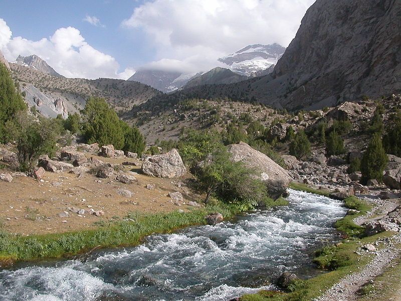
mountainplanet.com -
Moscow-Pekin in Tajikistan is located at the peak of the mountain. It is located in the country's center, 280 kilometers east of the capital, Dushanbe. Moscow-Pekin is 6,856 meters above sea level or 783 meters over the surrounding landscape. At its widest point, it is around 4.5 kilometers broad. The Qatorkhi Akademiyai Fanho includes Moscow-Pekin.
The terrain near Moscow-Pekin is often mountainous. Pik Imeni Ismail Samani, 7,495 meters above sea level and 5.6 kilometers north of Moscow-Pekin, is the highest peak in the area. There are less than two individuals per square kilometer. The region near Moscow-Pekin is almost completely covered in ice. There are no towns nearby. Around the Moscow-Pekin route. Mountains are exceptionally plentiful in the area surrounding Moscow-Pekin. The average temperature is 13 degrees Celsius. The hottest month is July, with a temperature of 2 °C, while the coldest month is January, with a temperature of 23 °C. The average annual rainfall is 663 mm. The wettest month is April, with 87 mm of precipitation, and the wettest month is August, with 30 mm.
Height: 21,611 feet
Location: in the central part of Tajikistan
peakery.com 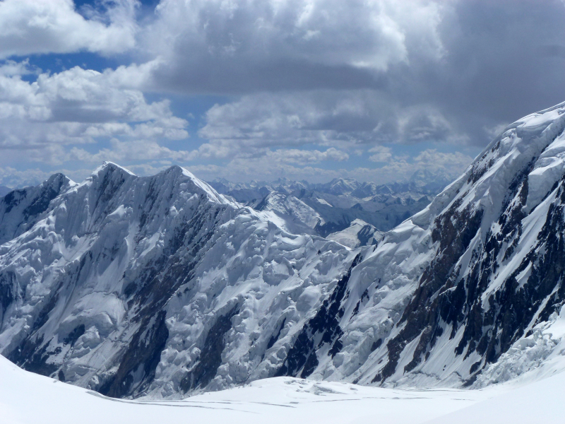
peakery.com