Top 4 Highest Mountains In Portugal

Portugal has a population of 10 million people and a land area of 35,604 square miles. The country's northern region is mountainous, while the center and ... read more...southern regions have plateaus, rivers, valleys, and plains. Volcanic activity shaped Portugal's mountain ranges. Toplist has complied a rundow of Highest Mountains In Portugal.
-
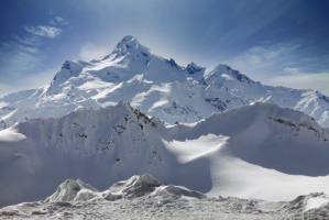
Mount Piquinho, often known as Mount Pico, is Portugal's highest peak, standing at 7,713 feet above sea level. Pico Island is located in the Azores' mid-Atlantic archipelago. It's a stratovolcano made up of hardened lava, pumice, volcanic ash, and tephra layers.
The mountain has a history of dramatic eruptions, according to historical documents. An eruption in 1562 produced lava that reached the sea, while another in 1718 produced enough lava to reach the coast. The seismically active region surrounding the mountain is monitored by seismic and volcanic monitoring facilities.
Location: Pico Island
Elevation: 7,713 feet
https://theculturetrip.com/ 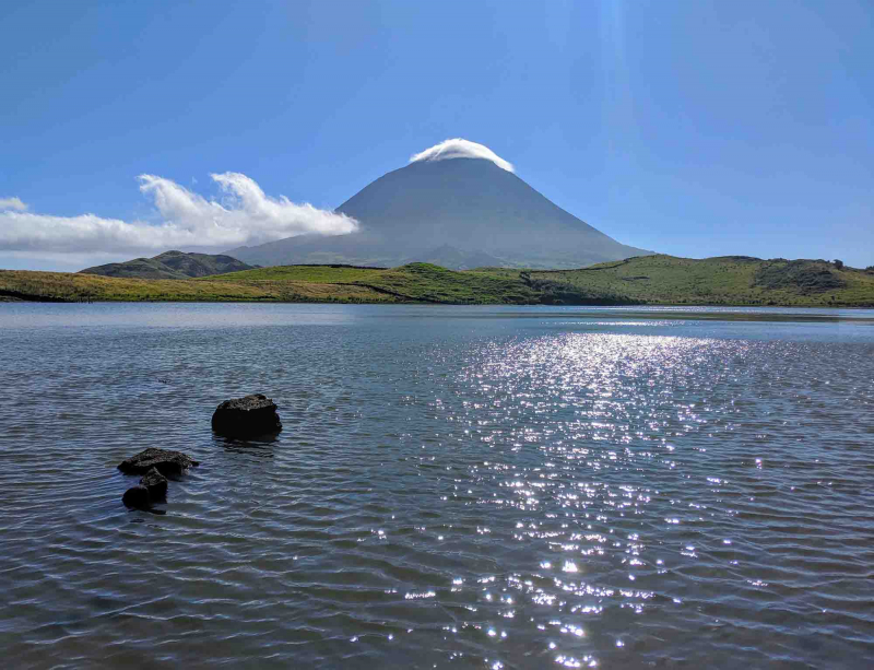
https://www.portugalist.com -
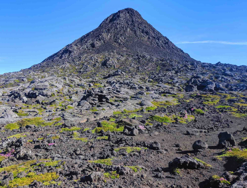
The Torre (Estrela Range) Mountain is the highest point on mainland Portugal and the Portuguese Republic's second highest point (only Mount Pico, in the Azores, is higher). This is the highest point in a mountain range, rather than a single peak summit. Torre is unique in that it possesses a paved road, Regional Road 339 (R 339), which was previously known as National Road 339. (N 339).
It is situated on the boundary between the municipalities of Seia, District of Guarda, and Covilh, District of Castelo Branco, in the Serra da Estrela mountain range.According to measurements taken by the Instituto Geográfico do Exército, the exact elevation of this region is 1,993 meters (6,537 feet) (a military organization). A trig point that shows the highest point in Serra da Estrela was built right in the highest point of the mountain range, in the middle of a roundabout, near a route that connects the cities of Seia and Covilh.
A restaurant, stores selling regional specialties such as Serra da Estrela cheese, and the Vodafone Ski Resort, located in the municipality of Seia, are all located near Torre. However, the closest metropolitan area to this location is Covilh, which is 20 kilometers (12 miles) distant, and the nearest hotels are in the village.Location: Seia, Guarda District, Portugal
Parent range: Serra da Estrela (part of Sistema Central)Elevation: 1,993 m (6,539 ft)
https://www.pinterest.com 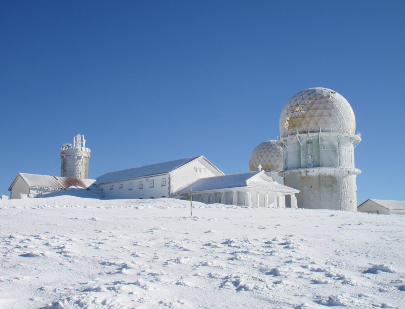
http://licumbiphotos.com.br -
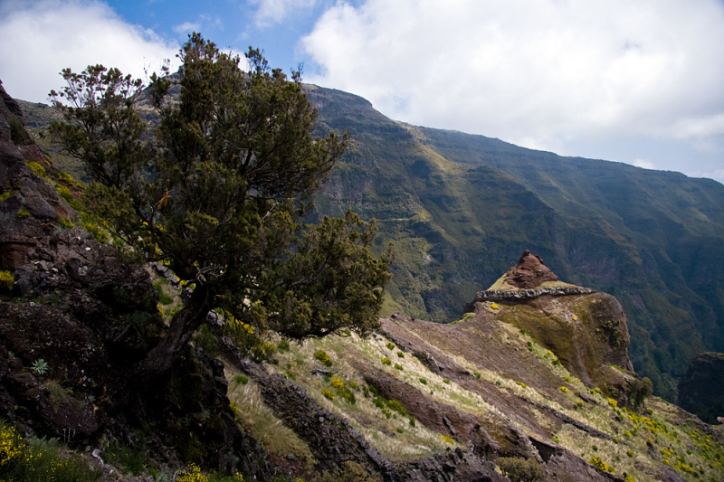
Ruivo de Santana, commonly known as Pico Ruivo de Santana, is a mountain on Madiera Island near the Curral das Freiras. It is the highest peak in Madiera and the third highest in Portugal, with a height of 5,421 feet. Its summit can only be reached on foot, with the easiest and most popular path coming from Achada do Teixeira. However, the route from Pico do Areiro can also be utilized, albeit it is more difficult.
Pico Ruivo is the highest point on the island of Madeira. It can only be accessed on foot, usually through a tough walk from Pico do Arieiro (3rd highest) or a shorter, gentler trail from Achada do Teixeira. There's also a route that leads west to Encumeada. The chalet, located just below the peak, is now open, with a water tap and facilities.
Pico Ruivo offers panoramic views of the island from coast to coast, however it can be perilous due to unpredictable weather conditions.
Location: Madeira
Elevation: 1,861 m (6,106 ft)
http://mapcarta.com/16873052 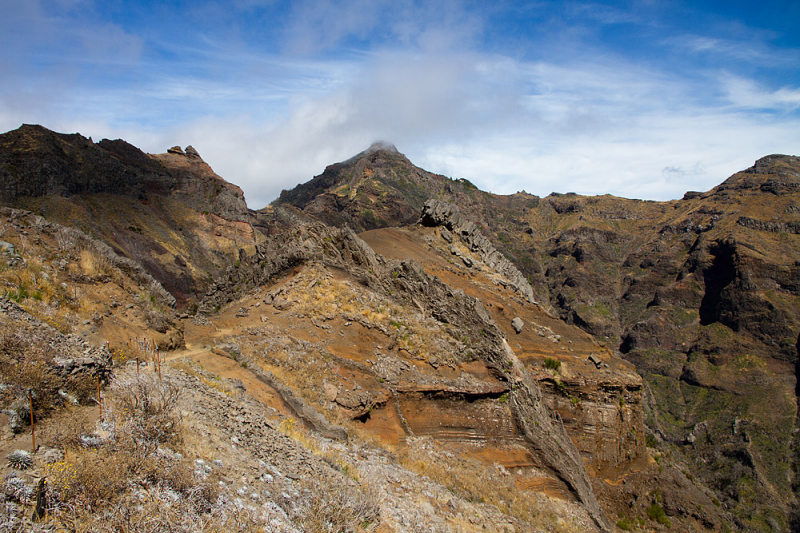
https://naturfotografen-forum.de/ -
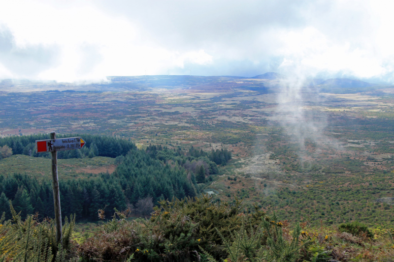
Pico Ruivo do Paul, after Pico Ruivo de Santana, is the second-highest mountain in Madiera and the fourth highest in Portugal. It stands at a height of around 4,900 feet above sea level. It is close to several summits, including Pico da Junqueira and Pico Fernades.
This 3.22-kilometer circular track is located near Senhora do Rosário, Madeira. It takes an average of 1 hour and 9 minutes to accomplish this moderately difficult route. Although this is a popular trail for hiking, strolling, and other environmental excursions, you can still find some peace and quiet during the quieter hours of the day. The trail is available all year and is a lovely place to explore at any time.
Location: Madiera
Elevation: 4,900 feet
https://hikenistof.com/ 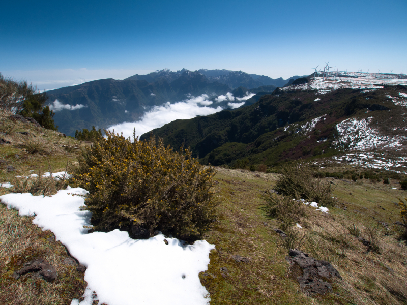
https://www.pentaxforums.com/