Top 5 Highest Mountains In Somalia

Ethiopia, Djibouti, the Gulf of Aden, Kenya, and the Indian Ocean all border Somalia, which is formally known as the Federal Republic of Somalia. It has a ... read more...population of 10.3 million people and occupies an area of 246,200 square miles. The country's environment is semi-arid and mostly covered in scrubs, with Mogadishu, the capital, lying on the coast. There are around 500 peaks in the state, with the Sanaag and Bari regions housing the most of them. The following are some of the country's tallest mountains.
-
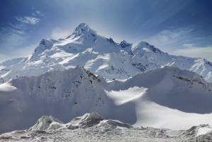
Mount Shimbiris, also known as Mount Surud Cad, is Somalia's highest mountain. It rises 8,070 feet above sea level. It is in the Sanaag region of northern Somalia, in the Al Madow mountain range. The often-quoted elevation of 2,416 meters (7,927 feet) is slightly low, according to SRTM data.
Its name literally translates as "Abode of Birds," alluding to the avian riches of the Doallo Forest on its eastern slopes, and it is also known locally as Surad Cad or Bird Biris. The mountain is historically significant as the site of a fort erected by early twentieth-century resistance leader Sayid Mohammed Abdullah Hassan and unsuccessfully attacked by British troops in 1914 and 1916 before the Mad Mullah's death in 1920. Despite being the highest point in Somalia, Shimbiris is not a mountain in the traditional sense, but rather a huge hill positioned along a high escarpment that has numerous additional summits that exceed the 2.200m threshold.
Besides, the road up the mountain is quite dangerous and there is no way to get there by car or other vehicles. Nevertheless, visitors can spend the night in the mountains with a tent.
Location: Sanaag region of northern Somaliland
Elevation: 2,460 m (8,070 ft)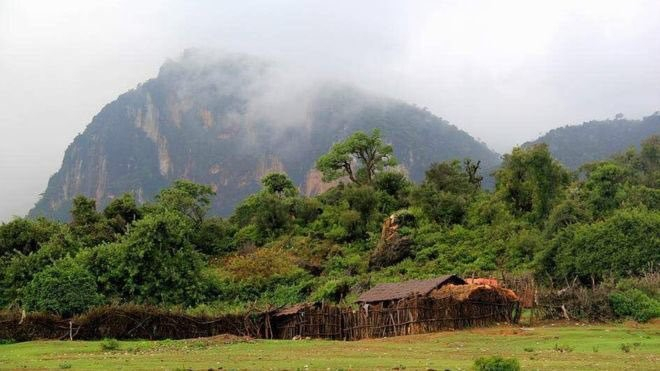
addflag.com 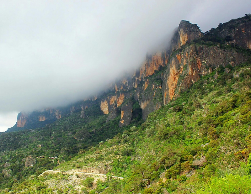
somalilandtravelguide.com -
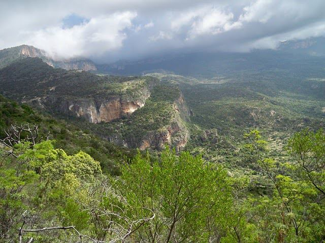
Cal Madow, also known as Al Madow, Al Medu, or Al Mado, is a narrow coastal mountain range in the Federal Republic of Somalia's northeastern region. The highest peak, Shimbiris, which is also the country's highest peak, stretches for several kilometers and sits at an elevation of 2,410 meters (7,907 feet) above sea level. Because the country's desert landscapes are sparsely vegetated, the distinction between the Cal Madow and the rest of the country is immediately noticeable.There are rich woods on the plateaus and upper slopes, and the environmentally diversified region is home to a variety of indigenous plant species as well as numerous unusual animals. With an annual rainfall of roughly 750-850 mm, there is additional precipitation in the form of fog and winter showers, which maintain isolated juniperus, buxus, and other evergreen forest woods, where buxus and celtis (boodaar) poles are cut from living trees for lumber production. Nonetheless, there is a highly lucrative mineral deposit as well as unique natural habitats that are internationally significant, one of which is oil exploration.
Location: Sanaag, Somaliland, Somalia
Elevation: 2,410 m (7,907 ft)
alluringworld.com 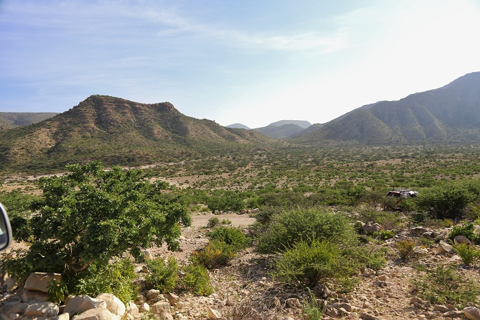
alluringworld.com -
Mount Bahaya (Somali language: Buurta Baxaya, occasionally written Mount Bahaja) is Somalia's fourth-tallest mountain. With a summit elevation of about 2,100 meters, it is the country's only Ultra-prominent peak (6,900 ft). It is 60 kilometers (37 miles) east of Bosaso, near the Red Sea, in the northern Bari region.
It is an Ultra-prominent mountain with a prominence of 1,543 to 1,613 meters, making it Africa's 74th to 58th most prominent peak and the only definite one in Somalia. Mount Shimbiris, with a measured prominence of 1,495 meters, could also be an Ultra-prominent mountain (4,905 ft). Because the mountain is extended in a northwest-southeast direction, some people call the southern and northern ends Bahaya and Karkoor.
Mount Bahaya is the highest point in Somalia's Fadhisame Mountains, which are located in northeastern Somalia. The range is a tiny part of the larger Cal Miskaad Mountains, which run from Karin, Bari, to the Socotra Archipelago, defining the northern Horn of Africa in much of Somalia. The surrounding range, including Bahaya, is primarily made up of highly eroded relics of an ancient volcanic chain.
Location: Northern Bari region, Somalia
Elevation: 2,100m (6,900 ft)
mohamedabdullaahi.tumblr.com 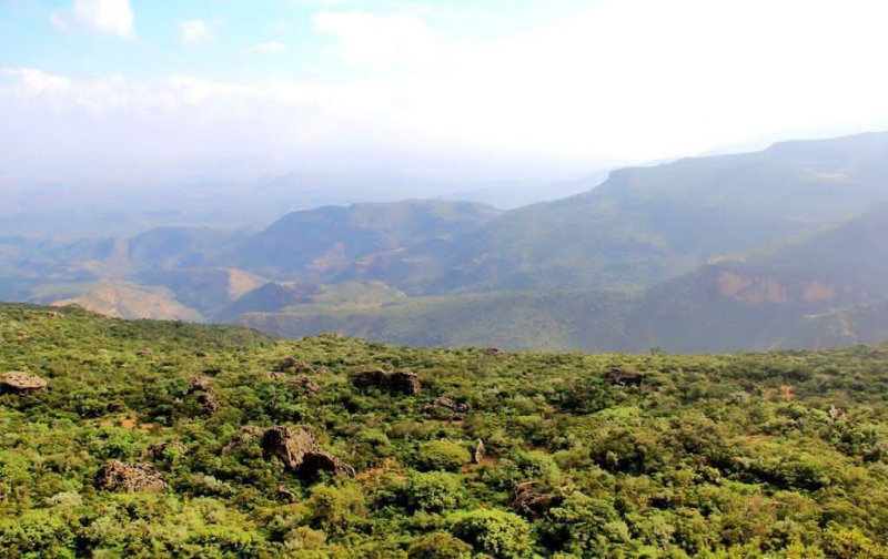
reddit.com -
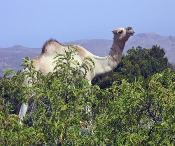
In Somaliland's Maroodi Jeex region, Gacan Libaax is a mountain range, archaeological site, and national park. The Golis Mountains are nearby. The seasonal Togdheer river, which runs through Burao and into the Nugaal Valley, originates on its upper slopes. This mountain is located near Laas Geel and around 100 kilometers (62 miles) east of Hargeisa, the provincial capital. It is located in the western half of the northern mountains, which run east and west parallel to the Horn of Africa's northern shore.
At lower elevations, evergreen and semi-evergreen bushland and thicket, dominated by the shrub Buxus hildebrandtii, cover around 20,000 ha of natural vegetation. At higher elevations, African juniper (Juniperus procera) woodlands and other Afromontane plant groups span roughly 30,000 ha.
The hamadryas baboon (Papio hamadryas), klipspringer (Oreotragus oreotragus), beira (Dorcatragus megalotis), and dorcas gazelle are among the mammals seen here (Gazella dorcas pelzelni). The gloomy rock chat (Oenanthe dubia), the Gambaga flycatcher (Muscicapa gambagae), and the Somali golden-winged grosbeak are all native birds (Rhynchostruthus louisae).
Location: Togdheer, Somaliland, Somalia
Elevation: 2,008 m (6,588 ft)
somalilandtravelguide.com 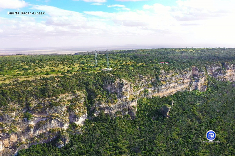
en.wikipedia.org -
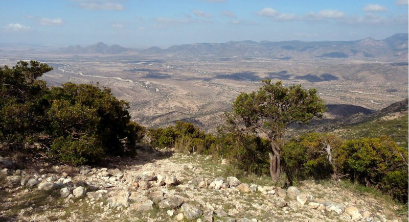
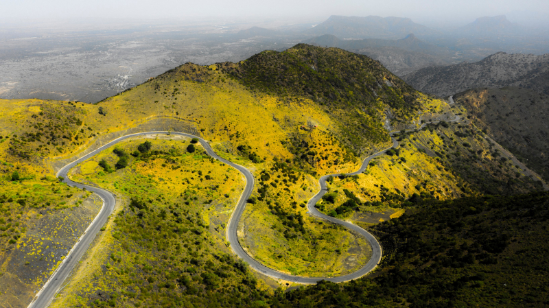
Sheikh Mountain is part of the Golis Chain, which runs the length of Somaliland. Sheikh is a small town located atop the Sheikh Mountains, and access to it is via the Sheikh Pass. The view from the Sheikh Pass is spectacular, with the mountains cascading into the distance. Sheikh is also home to the Sheikh Secondary School, Somaliland's Eaton.
Sheikh Mountain is approximately 2,000 meters above sea level. In particular, it is also a natural wonder due to its vegetation; because it receives more rain than the surrounding areas, the mountain is densely forested, and many of the plants are possibly unique.
The road to the summit, also known as Shiik Pass, is paved but somewhat steep. It is located high in the Sheirk mountains, is 13.9 kilometers (8.63 miles) long and runs north-south from Laaleys to Sheikh. Be cautious of landmines. The views from the summit are spectacular.
Location: Northwestern Sahil, Somaliland, Somalia
Elevation: 2,000 m (6,565 ft)
commons.wikimedia.org 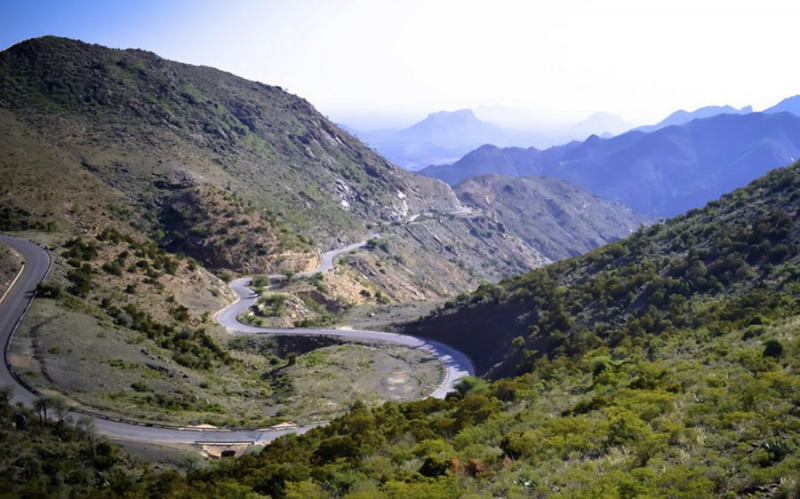
dangerousroads.org