Top 5 Longest Rivers in Algeria

Algeria is a country in northern Africa with a Mediterranean Sea coastline. It is the largest country in both Africa and the Arab World, with a total area of ... read more...919,595 square miles. Mountains, highlands, plains, and deserts make up the landscape of the country. It has a desert environment, so hot, dry days are followed by frigid nights. Algeria is also crossed by a number of rivers. This article looks at some of the longest rivers in Algeria.
-
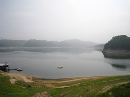
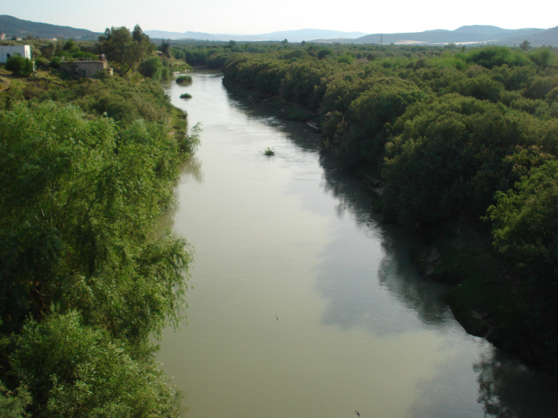
Chelif, sometimes known as the Chlef River, ranks first among the longest rivers in Algeria with a length of 435 miles. Its source is near the city of Aflou in the Saharan Atlas Mountains, and it flows through the Tell Atlas Mountains to reach its eventual destination, the Mediterranean Sea. The Chelif river is extremely important since it is frequently used for irrigation, causing the water level to fluctuate all the time. However, this is mostly done in the lower section of the flow. During the winter, water levels are always high, followed by a period of very low water, during which the flow rate may plummet to several hundred or even tens of cubic meters per second.
There are numerous tributaries that pour into this massive river, with the Sebgag river being the farthest. Ksar el-Boukhari, built in 1932, Ech-Cheliff, formerly known as El-Asnam, erected in 1932, and El-Khemis, completed in 1939, is the three main dams on the Chelif system, all of which are operated by the Algerian Agence Nationale des Barrages.
The Chelif River is not navigable due to its uneven flow, but with its irrigation, cereals, oranges, and grapes are the main crops that thrive along the route to the Mediterranean, providing a beautiful backdrop in an almost deserted setting for people who want to see Algeria's incredible beauty.
Length: 435 miles
https://seriousfacts.com/ 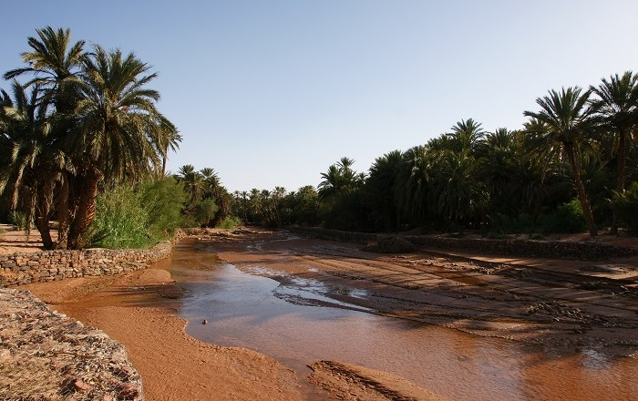
http://www.alluringworld.com/ -
Djedi river is one of the longest rivers in Algeria. It begins in the Saharan Atlas mountains at an elevation of around 1,400 meters, runs for about 480 kilometers from west to east, and discharges into Chott Melrhir lake, which is Algeria's lowest point at about 40 meters below mean sea level. It is supplied by rain and melting snow, and only the top half of it maintains a constant flow. The river originates on the southern slopes of Djebel Amour, near Aflou, and supplies water to various date palm orchards, including the Laghouat oasis, which relies heavily on it; water is also obtained from numerous wells drilled near the river.
The river contributes to raising the water level of Chott Melrhir during the rainy season in the winter, but the lake and lower portions of the river dry out in the summer. The riverbed is largely made up of gypsum and mud, and there are signs of erosion due to the enormous changes in inflow. Despite the fact that the soil in and around the river appears to be bearable, it is barren due to the high salt content. Because of this, the soil collects a lot of moisture overnight, which keeps it partly humid for most of the day.
The name of the river is assumed to be originated from the Berber language Irzer Idjdi, which translates to Arabic Ouad Djedi.
Length: 298 miles
https://commons.wikimedia.org/ -
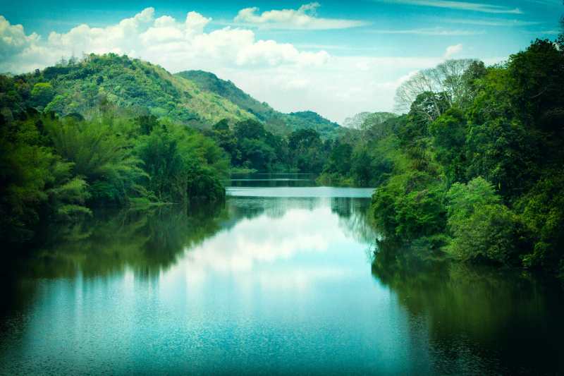
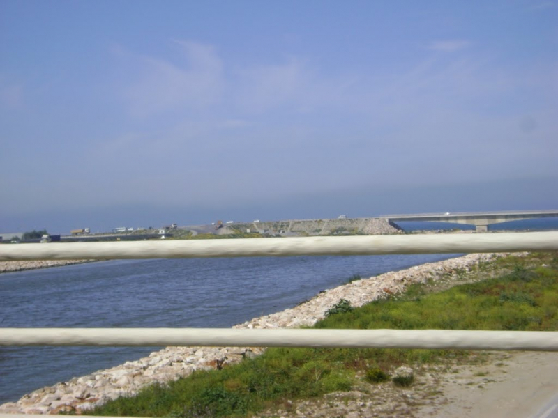
Medjerda river is a North African river that flows from northeast Algeria through Tunisia and into the Gulf of Tunis and Lake Tunis. It is Tunisia's longest river, measuring 450 kilometers in length. Wadi Majardah or Mejerha are other names for it. The Medjerda River rises in the Tell Atlas, a section of the Atlas Mountains in northeastern Algeria, and runs east to Tunisia before entering the Mediterranean Sea's Gulf of Utica. Its 460-kilometer course is the longest in the world. It is Tunisia's most important and longest river, dammed in numerous places and a major source of water for the country's wheat harvests.
The Medjerda is historically Tunisia's most important canal, delivering water to the country's supply facilities as well as the people that live around it. The Medjerda's water is utilized for irrigation, and it is critical to the region's agriculture.
It was battled over and settled numerous times by the Carthaginians, Romans, Vandals, Byzantines, Arabs, and Ottomans as a strategic resource. Several significant cities, including Utica, Carthage, and Tunis, were founded on or around it. The silting of their harbors forced the closure of the former ports of Utica and Ghar el-Melh.280 miles (shared with Tunisia)Length: 280 miles (shared with Tunisia)
https://en.wikipedia.org/ 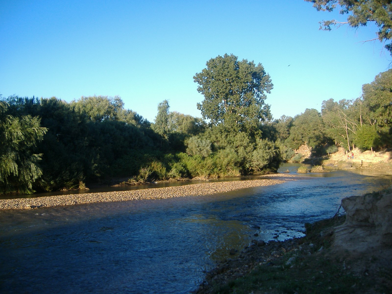
https://mapcarta.com/ -
Ziz river ranks fourth in this list of the longest rivers in Algeria. It flows across Morocco and Algeria in the south. Its source is in Morocco's High Atlas Mountains, and it runs 282 kilometers into Algeria's Sahara Desert. The Ziz riverbed has long been used to facilitate human movement over the mountainous region, despite the fact that water flow is sporadic. The river might be found without water at times due to the dryness of the region. The river's water is used for both personal and agricultural purposes by the communities that live along its banks.
Errachidia, Erfoud, and Sijilmassa are cities along the Ziz river. Near Errachidia, there is a dam with hydropower producing capacity on the Ziz. There is usually a common water rights regulation along the Ziz, which states that each hamlet and villager has the right to fair use and extraction of Ziz waters. Water is typically redirected to flatter places to create a canal that irrigates palm trees and other crops while also providing residential water.
Length: 175 miles (shared with Morocco)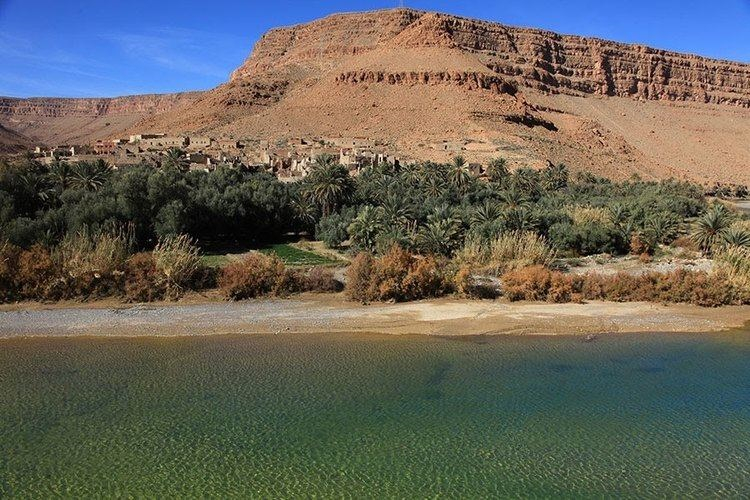
https://alchetron.com/ -
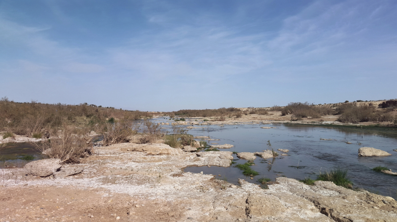
Seybouse is a river in northeastern Algeria, close to the Tunisian border. It was known as the Ubus in Roman times. The river flows for around 225 kilometers through the provinces of Guelma and Annaba. It begins in Medjez Amar, northwest of Guelma Province, in the Tell Atlas. It empties into the Mediterranean Sea in Seybouse (formerly Joannonville), which is located southeast of Annaba. Its mouth is located approximately north of Sidi Salem, the site of Hippo Regius, where Saint Augustine resided from 391 to 430 AD.
The Seybouse is utilized for agricultural irrigation, although it is increasingly contaminated as a result of industrial activities. A number of large-scale industrial activities can be found along the Seybouse River. Hydrocarbon processing plants are of particular concern. This industry produces a lot of pollution, which gets into the groundwater and contaminates bodies of water. The contaminated water is then unfit for human consumption and poses a threat to wildlife survival.
Length: 140 miles
https://mapio.net/ 
https://mapio.net/