Top 5 Longest Rivers in Namibia

Namibia is a country in Southern Africa that is formally known as the Republic of Namibia. The Atlantic Ocean forms its western boundary. It is bordered to the ... read more...north by Zambia and Angola, to the east by Botswana, and to the south and east by South Africa. Namibia features five permanent rivers and perhaps twenty well-defined ephemeral rivers. The Orange, Kunene, Okavango, Zambezi, and Chobe rivers are Namibia's only perennial rivers, which it shares with its neighbors. Each of them serves as a national border with limited irrigation capacity. The Longest Rivers in Namibia are listed below.
-
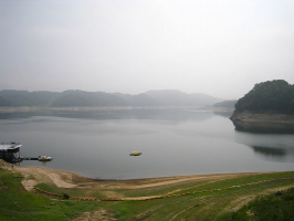
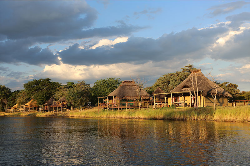
The Cuando River, sometimes known as the Kwando, is a river in south-central Africa that flows through Angola and Namibia's Caprivi Strip before entering the Linyanti Swamp on Botswana's northern border. The river is known as the Linyanti River below the marsh and the Chobe River farther east until it drains into the Zambezi River. The Cuando River is one of the most important rivers in south-central Africa. Some 10,014 years ago it merged with the Okavango River and flowed south to Lake Makgadikgadi. But now it has diverted east and has been captured by the Zambezi. The river's source is the Selinda Spillway, also known as the Magwekwana, on the Cuando River.
The Cuando system is well-known for its wildlife, and throughout most of its length, the land on each side has been designated as game reserves or wildlife management zones. Some of these were poached during wars and conflicts in Namibia and Angola, but now that peace has been restored in those countries, they may be able to return to their previous state.
Length: 731 km
expertafrica.com 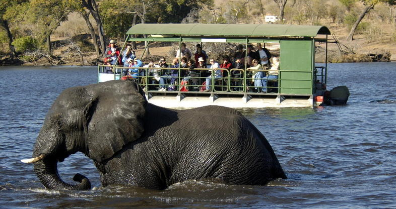
expertafrica.com -
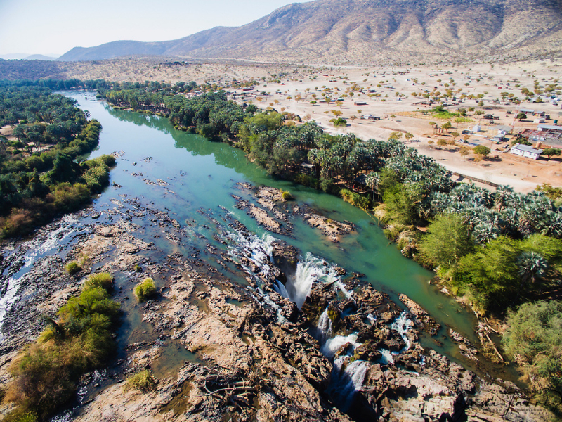
The Cunene, sometimes known as the Kunene, is a river in Southern Africa. It runs south from the Angolan highlands to the Namibian border. It then flows west along the border, eventually reaching the Atlantic Ocean. It is one of the region's few perennial rivers. It is approximately 1,050 kilometers (652 miles) long, with a drainage basin size of 106,560 square kilometers (41,143 square miles). At its mouth, its mean annual discharge is 174 m3/s. The Epupa Falls are located on the river. The Olushandja Dam dams a tributary of the river, the Etaka, and provides water to the Ruacana Power Station.
In the late 1990s, the Namibian government considered building the Epupa Project, a contentious hydroelectric dam on the Cunene River. The Namibian and Angolan governments announced plans to build the Orokawe dam in the Baynes Mountains in 2012. According to the indigenous Himba who would have been most impacted by the dam's construction, the project threatens the local ecology and hence the Himba's economic foundation. Traditional Himba chiefs issued a declaration to the African Union and the United Nations Human Rights Council in February 2012, titled "Declaration of the most affected Ovahimba, Ovatwa, Ovatjimba, and Ovazemba against the Orokawe Dam in the Baynes Mountains," outlining the traditional Himba chiefs' and communities' strong opposition to the dam.
Length: 1,050 km
jamitarris.com 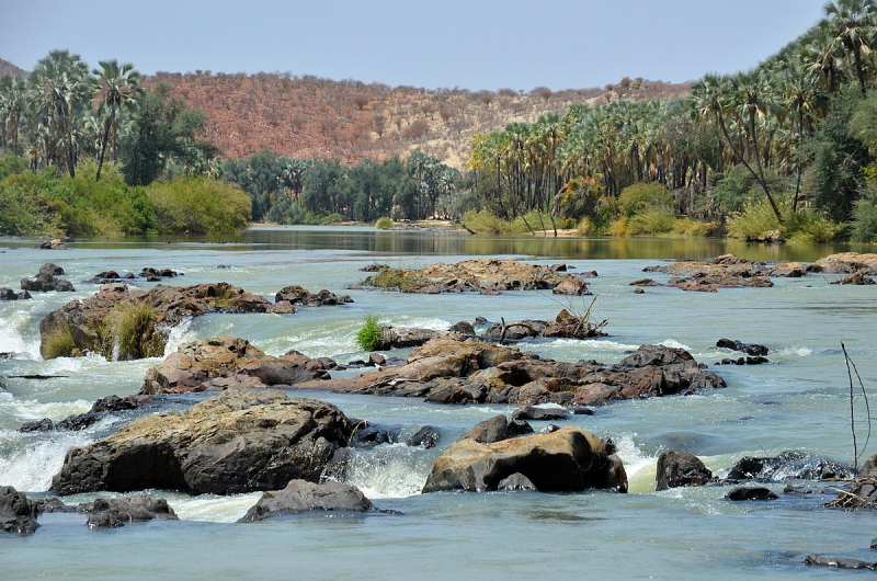
jamitarris.com -
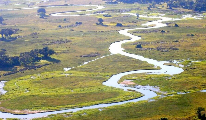
The Okavango River (also known as the Okovango or Okovanggo River) is a river in southwest Africa and is one of the Longest rivers in Namibia. It is the fourth-longest river system in southern Africa, stretching 1,600 kilometers southeastward (1,000 mi). It originates at an elevation of 1,300 meters (4,300 feet) in Angola's sandy highlands, where it is known as Rio Cubango in Portuguese. It comes into Botswana from farther south, where it forms part of the boundary between Angola and Namibia. The Okavango Delta lacks an exit to the sea. Instead, it empties into the Okavango Delta or Okavango Alluvial Fan, a Kalahari Desert endorheic basin.
Drought is affecting both Namibia and Botswana, raising fears about potential confrontation over river water use. Namibia has constructed a 300-kilometer-long water canal and proposed a 250-kilometer-long pipeline to move water from the river into Namibia to assist alleviate the drought. Botswana, on the other hand, exploits the Okavango Delta for both tourists and water. Botswana's Department of Water Affairs has stated that 97 percent of the water in the river is lost due to evaporation, hence the government cannot afford to lose any further water.
Namibia, on its part, claims that it would only divert half of the river's flow and that it is entitled to any water that passes through its borders. To address such difficulties, Angola, Namibia, and Botswana signed an agreement in September 1994 to establish the Permanent Okavango River Basin Water Commission, which will advise the three nations on the best methods to share the Okavango River's resources.
Length: 1,700 km
en.wikipedia.org/ 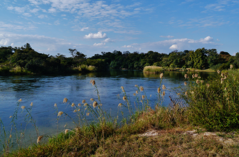
en.wikipedia.org/ -
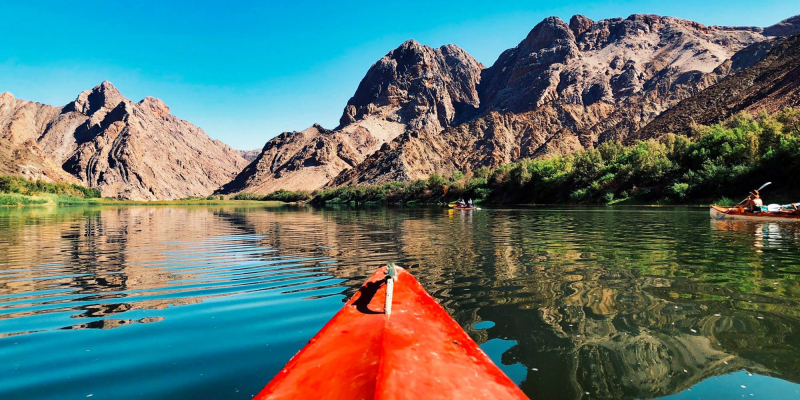
The Orange River, also known as the Gariep River, Groote River, or Senqu River, is the Longest River in Namibia and is South Africa's longest river, bordering Namibia. It begins in Lesotho's Drakensberg highlands and flows west through South Africa to the Atlantic Ocean. The river constitutes a component of the international boundaries between South Africa and Namibia, as well as numerous provincial borders within South Africa. Although the river does not pass through any large cities, it is vital to the South African economy since it provides water for irrigation in southern Namibia and serves as a source of hydroelectric power stations. Robert Jacob Gordon called the Orange River after the Dutch Royal House. Canoe cruises along the Orange River are available from a number of tour companies.
The Orange rises in the Drakensberg mountains along the border between South Africa and Lesotho. It then flows westward through South Africa, forming the southwestern boundary of the Free State province. The river meets its main tributary, the Vaal River, at 20°E longitude. The river has a total length of 2,432 km (1,511 mi). It empties into the Atlantic Ocean between the small towns of Oranjemund (meaning "Orange mouth" in Namibian) and Alexander Bay in South Africa.
Length: 2,432 km
fineartamerica.com 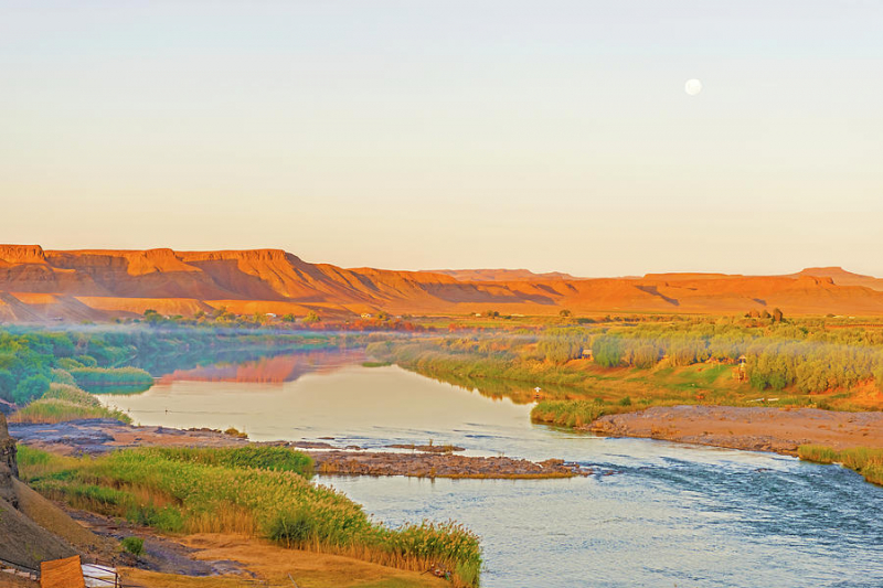
fineartamerica.com -
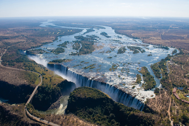
The Zambezi River (also spelled Zambeze and Zambesi) is Africa's fourth-longest river, its longest east-flowing river, and its largest river flowing into the Indian Ocean from Africa. Its basin is 1,390,000 square kilometers (540,000 square miles), slightly less than half the size of the Nile's. The river begins in Zambia and flows through eastern Angola, along Namibia's north-eastern border and Botswana's northern border, then through Zambia and Zimbabwe to Mozambique, where it crosses the country to empty into the Indian Ocean.
Victoria Falls is the most well-known feature of the Zambezi. Other notable falls include the Chavuma Falls on the Zambia-Angola border and the Ngonye Falls near Sioma in Western Zambia. The river has two major hydroelectric power sources: the Kariba Dam in Zambia and Zimbabwe, and the Cahora Bassa Dam in Mozambique, which supplies power to Mozambique and South Africa. In Zambia, there are two smaller power stations along the Zambezi River, one at Victoria Falls and the other near Kalene Hill in Ikelenge District.
Length: 2.574 km
planetafricasafaris.com/ 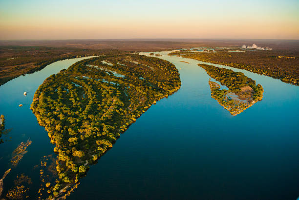
planetafricasafaris.com/