Top 10 Longest Rivers in Asia
Asia is a massive continent with some of the world's most enormous rivers. These rivers supply water, power, and transportation to billions of people. Although ... read more...Asia does not have the longest and largest river, it is a continent rich in significant rivers. Today, you're going to look at Asia's longest rivers! The length of these rivers will astound you!
-
The source of the Yangtze River is in the Tibetan Plateau and it empties into the East China Sea. It is also China's longest river, flowing across ten provinces. The river runs through a variety of terrain, although most of its voyage is spent in mountainous regions, including some breathtakingly gorgeous spots with deep valleys and canyons. Around 700 tributaries feed the river, including eight major rivers: Yalung, Min, Jialing, Han, Wu, Yuan, Xiang, and Gan. The Yangtze River is approximately 6300 kilometers long and drains an area of 1,808,500 square kilometers. It is the world's third longest river, behind the Amazon (South America) and the Nile (Africa), and it is longer than the Mississippi River (USA).
Yangtze (Meaning "son of the ocean") is also known as Yangtze Kiang in China. The Yangtze River is historically, culturally, and economically significant to China. The river basin is home to more than a third of China's population. This basin accounts for more than two-thirds of total rice production and has around 30 species of economic relevance to China's commercial fisheries. It is also China's principal waterway, with heavy commerce and passenger flow.
Detailed information:
Length: 6,300 km
Source: Qinghai
Country: China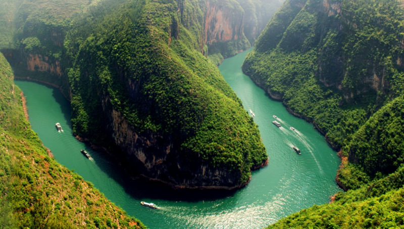
Yangtze River 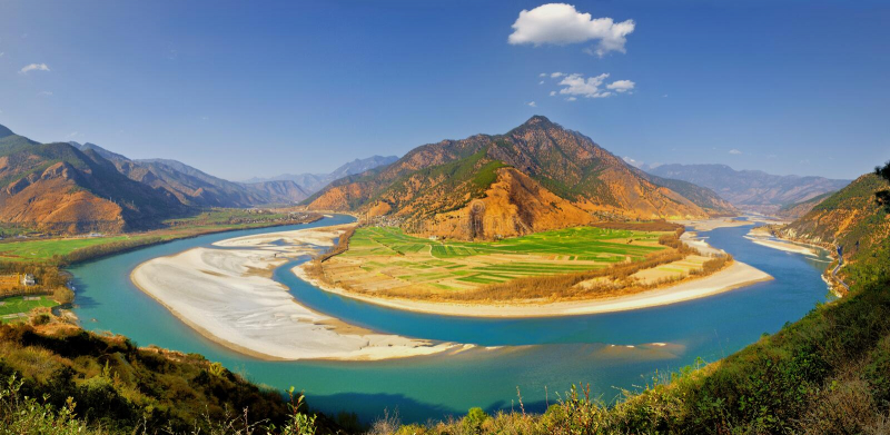
Yangtze River -
Qinghai province is the source of the Yellow River. The Yellow River is regarded as China's "mother river" and the cradle of Chinese culture. After the Yangtze, this China's second-longest river passes through eight provinces and autonomous territories before draining into the Bohai Sea in eastern China's Shandong province. The river is known as the Yellow River in Chinese because it flows across the Loess Plateau in northwest China and has yellow and turbid water.
As you all know, people's habit is that they dwell along the banks of large rivers. There are numerous great and tiny rivers in China that create countless wonders while witnessing the ups and downs of the Chinese people's history. More typical, the Yellow River of China has been the birthplace of Chinese civilization. Furthermore, the 5,464-kilometer river feeds roughly 12% of China's population, irrigates about 15% of fertile land, sustains 14% of the country's GDP, and distributes water to more than 60 cities.
Detailed information:
Length: 5,464 km
Source: Bayan Har Mountains
Country: China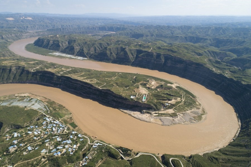
Yellow River 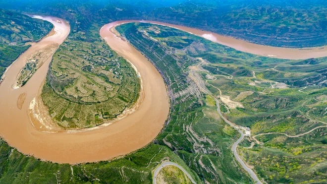
Yellow River -
The Mekong River is one of Asia's and the world's greatest rivers with a watershed of up to 79,500 km2. The Mekong River runs from China's Tibetan Plateau through Laos, Thailand, Myanmar, Cambodia, and Vietnam. The river plays a significant role in managing water supplies in the nations through which it flows, assisting in the regulation of flows, the production of hydroelectricity, and the regulation of water for agriculture, especially in the lower Mekong River.
The Mekong River flows to nourish the basin's unique, multi-functional wetlands, preserving different economic, cultural, social, and ecological characteristics. Wetlands are important sources of income for local people, providing a good environment for agriculture, fishing and aquaculture, commodity production, and tourism development. Natural wetlands can provide other benefits such as flood prevention, water storage, and environmental cleaning.
Detailed information:
Length: 4,350 km
Source: Lasagongma Spring
Countries: Vietnam, Thailand, Laos, Cambodia, China, Myanmar (Burma)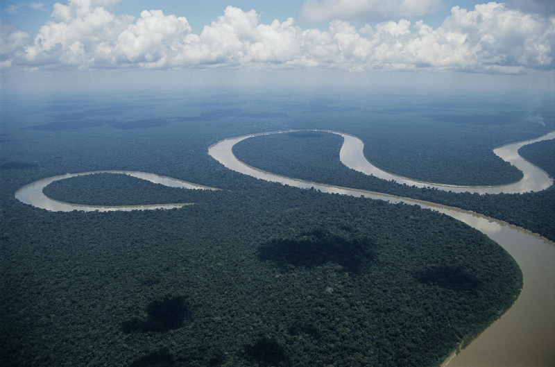
Mekong River 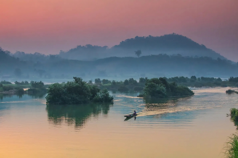
Mekong River -
Lena River is one of the biggest river systems in Asia and the globe. Its whole basin area accounts for approximately 20% of Russia's total area. The riverbed is immense in breadth, stretching for roughly 15 kilometers in the center and up to 20-25 kilometers at the bottom. Aldan, Viluy, Olyokma, and Vitim are the primary tributaries of Lena. As a result, the final length is comparable to that of a major European river like the Dnieper or the Danube.
Among other things, the Lena River is one of the world's purest water sources. There are no dams or power plants on the river. In many spots along the canal, as two thousand years before, you could drink water by scooping up water from the river with your palm. That is why people call Lena one of the world's largest and most important freshwater sources.
Detailed information:
Length: 4,294 km
Source: Góry Bajkalskie
Country: Russia
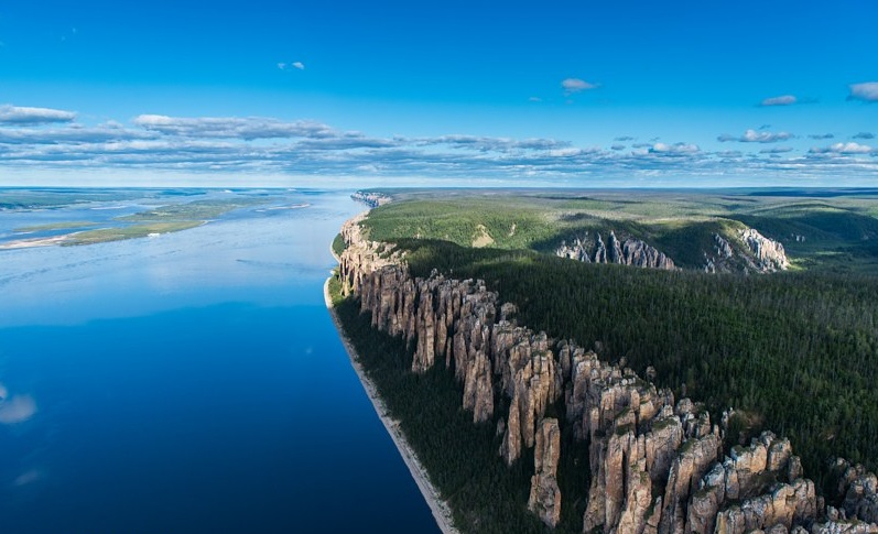
Lena River 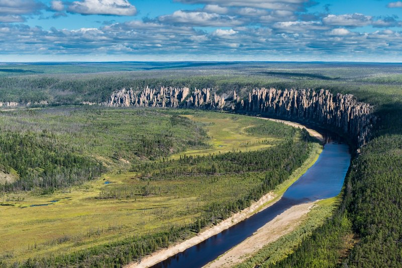
Lena River -
The Irtysh River is Asia's fifth-longest watercourse with a long distance of 2,640 miles (4,248 km). It begins in the Altai Mountains of China's Xinjiang region, directly on the border with Mongolia, before flowing westward over the Chinese territory. Then it flows through Kazakhstan, where it runs northwest near the country's eastern edge and is known as the Artis River. Following the flow, it enters Russia before making its way to the Ob River in western Siberia.
In current times, the Irtysh River's waters assist to meet the requirements of a significant number of people who live in China, Kazakhstan, and Russia. The Irtysh River is used for industrial purposes, agriculture, fishing, and water consumption in China's Xinjiang province. During the ice-free season, the river stands as an essential transport route for marine war machines, passenger ships, and cargo ships in Kazakhstan and Russia. Today, people address the electricity demands of the human settlements located along the Irtysh by building a vast number of hydroelectric power plants that have been developed in China, Kazakhstan, and Siberia.
Detailed information:
Length: 4,248 km
Source: Altai Mountains
Countries: Russia, Kazakhstan, China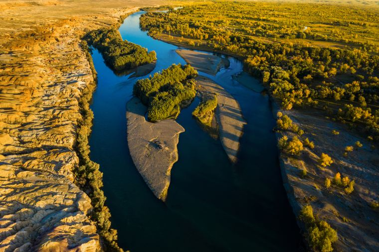
Irtysh River 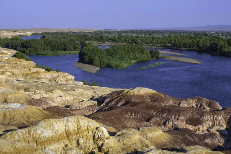
Irtysh River -
The Yenisei gets its name from the Evenk "Ionesis", which means "great water". The name of the river from other ethnic is Enzai'am, Hook, Hem, and Kim. The river is also the confluence of the Big and Small Yenisei with a length of 3487 km. According to the indicator of basin area is 2,580 km², the Yenisei is seen as the second largest river in Russia and seventh in the world. Like most rivers in this territory, the Yenisei has asymmetrical banks. The left bank is flat, and the right side is steep and almost 6 times higher.
This river is the natural flow through all the climatic zones of Siberia: in the upper reaches of the river there are camels, and the polar bears live below. The economic use of the Yenisei is important to the country. This river plays an important waterway in the whole Krasnoyarsk territory. The Yenisei River occupies a significant effect on the ecological situation because it is reported that several reservoirs and hydroelectric power stations have been built on the river.
Detailed information:
Length: 3,487 km
Source: Mongolia
Country: Russia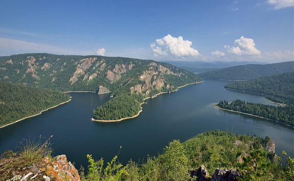
Yenisei River 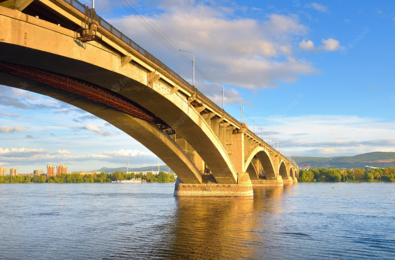
Yenisei River -
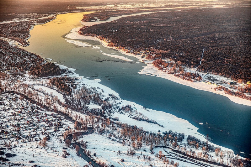
The Ob River starts at the junction of the Biya and Katun rivers in the Altai Massif - a range of mountains that runs across Russia, Mongolia, China, and Kazakhstan. The Russian term "Ob" means "both" and relates to the river's origin from the confluence of these two streams. Although the Obi River is generally connected with Russia, its tributaries (rivers that run into the main river rather than the sea) also travel through these surrounding territories.
Rivers are streams of water that begin in the highlands and run to the sea. They travel through plains and valleys, gaining a variety of different characteristics that contribute to environmental balance and biodiversity. It also serves as a stepping stone to exporting agriculture and industrial items export and import. Many industrial centers and different agricultural and fishing industries are also located on the outskirts of Obi.
Detailed information:
Length: 3,700 km
Sources: Katun River, Biya River
Country: Russia
Ob River 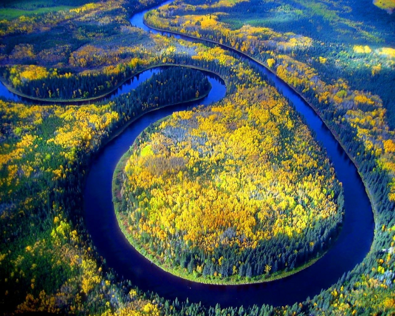
Ob River -
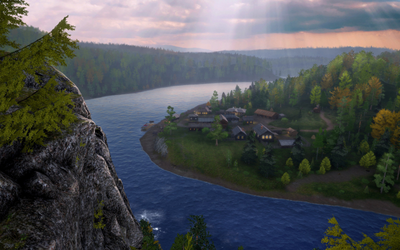
The Lower Tunguska River is one of Asia's longest rivers. It is also Yenisey's second-biggest tributary, with a length of 3,487 kilometers (1,857 miles). The river serves as Russia's and Siberia's common political boundary. According to trustworthy sources, its primary tributaries are the Nizhnyaya Tunguska, Uchami, Teteya, Nidym, and Tura.
It has a catchment area of 473,000 square kilometers and an amazing average discharge of 3,680 cubic meters per second. You will be able to observe the gorgeous environment with the rocks along the shore, the slope of the river canyon, and the whirlpools from here. Furthermore, the river gradually adds to the complex river network by building summer walks that eventually form Tunguska Nature Reserve.
Detailed information:
Length: 3,487 km
Source: Central Siberian Plateau
Country: Russia
The Lower Tunguska River 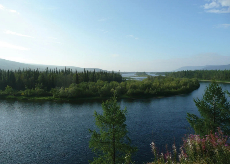
The Lower Tunguska River -
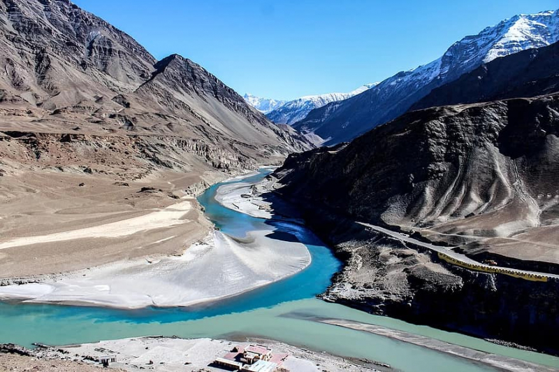
The Indus River also called the Sindhu is Asia's seventh-longest river with an impressive length of 3,610 kilometers (2,243 miles). The river delta is not humble at all and has a basin area of 1,165,000 kilometers square. This interesting river runs through China, India, and Pakistan.
The River's discharge goes through the Arabian Sea and falls from the Tibetan Plateau to Lake Mansarovar follow by some information. It runs through the cities of Leh, Besham, Hydrabad, Gilgit, Peshawar, Karachi, Attock, and Mithankot. Especially, it features a diversified ecology, fauna, and plains, as well as high biodiversity. It has five brothers - five significant river tributaries are the Chenab, Jhelum, Ravi, Beas, and Sutlej. Surround the river is inhabited by a varied population. The river occupies an important part for it has historically been a source of revenue for the country's economy
.
Detailed information:
Length: 3,180 km
Sources: Tibetan Plateau, Senge Zangbu, Gar River
Countries: India, Pakistan
Indus River 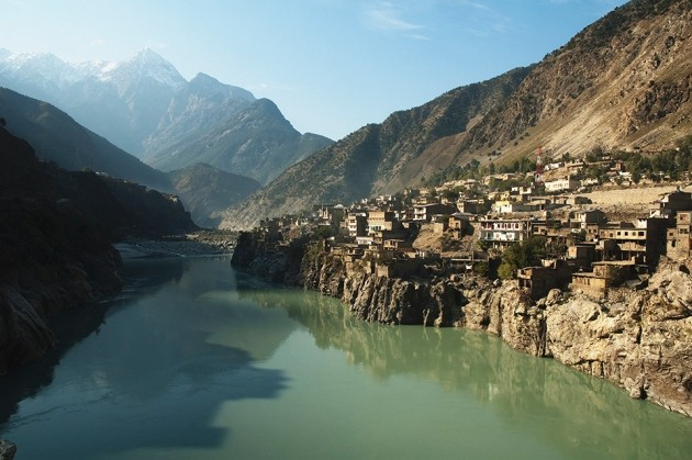
Indus River -
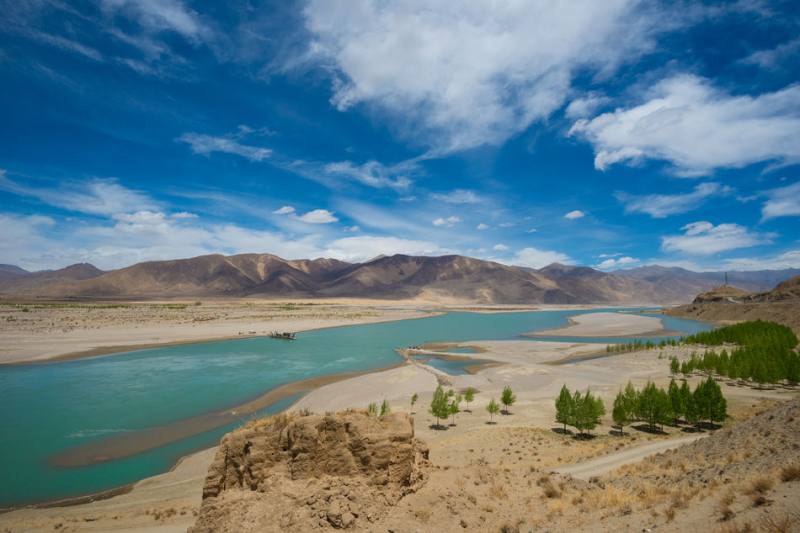
The Brahmaputra River has seen as Asia's sixth-longest river, passing through three nations like India, Bangladesh, and Tibet across a distance of 2,391 miles (3,848 km). From its headwaters in the Himalayas, it runs east into China's Tibet Autonomous Region. Following the process, then it enters India, where it meets the smaller Gange river. The common stream then drains into the Bay of Bengal. Like a cycle, it goes through Assam and Bangladesh on its way to India.
The river flows through Mansarovar Lake, which is located in the Himalayas to the north. The average discharge is 30,770 meters cube per second which helps it place ninth in the world. This river is vital to the inhabitants of India and Bangladesh for it serves a population of 130 million people. Around the river, recently you could find tourist attractions including the Kamrup area, Maijan Lake, The Twin Rock, and an Acland.
Detailed information:
Length: 3,848 km
Source: Himalayas
Countries: China (Tibet), India, Bangladesh
Brahmaputra River 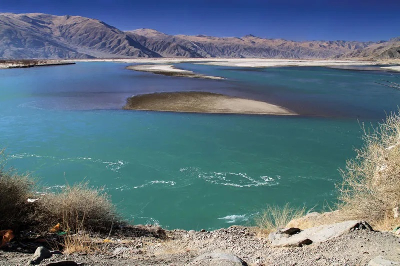
Brahmaputra River


