Top 8 Longest Rivers in South Sudan

South Sudan is endowed with numerous bodies of water, including rivers. The top eight longest rivers in South Sudan are listed below.... read more...
-
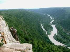
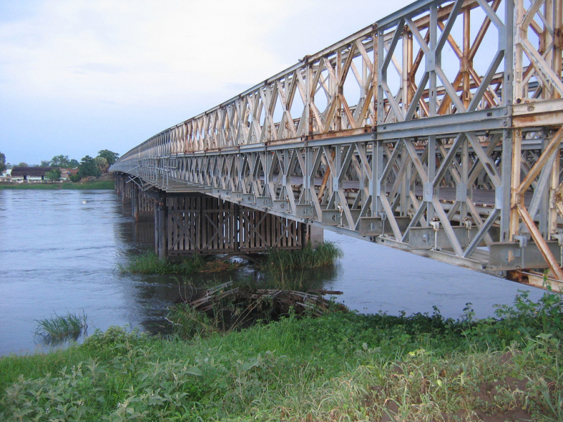
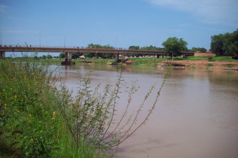
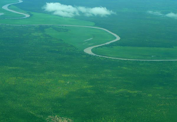
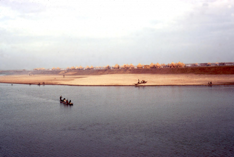
The first one in Top 8 Longest Rivers in South Sudan that Toplist would like to introduce to you is White Nile. The White Nile is a river in Africa that is one of the Nile's two main tributaries, the other being the Blue Nile. The name derives from the coloration caused by clay carried in the water.
The term "White Nile" refers to the river formed by the confluence of the Bahr al Jabal and Bahr el Ghazal Rivers at Lake No. In a broader sense, the term "White Nile" refers to all stretches of river that drain from Lake Victoria to the Blue Nile; the "Victoria Nile" from Lake Victoria to Lake Albert via Lake Kyoga, then the "Albert Nile" to the South Sudan border, and finally the "Mountain Nile" or "Bahr-al-Jabal" down to Lake No. The term "White Nile" may also refer to the headwaters of Lake Victoria, the most remote of which is 3,700 kilometers (2,300 miles) from the Blue Nile.
The search for the Nile's source by Europeans in the nineteenth century was primarily focused on the White Nile, which vanished into the depths of what was then known as "Darkest Africa."
Length: 3,700 km (2,300 mi- shared with Sudan, Rwanda, Tanzania, Uganda, Democratic Republic of the Congo and Ethiopia)
en.wikipedia.org 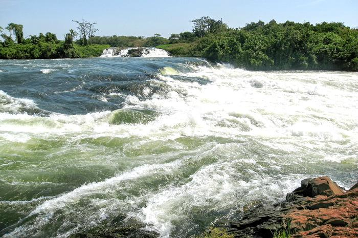
theactivetimes.com -
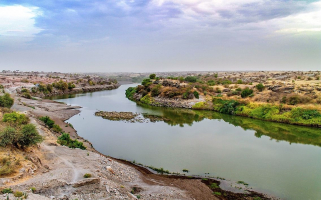
The second one in Top 8 Longest Rivers in South Sudan that Toplist would like to introduce to you is Bahr el Ghazal River. The Bahr el Ghazal is a South Sudanese river. The river inspired the name of the South Sudanese region of Bahr el Ghazal.
The Nile's main western tributary is the Bahr el Ghazal. It runs for 716 kilometers (445 miles) through the Sudd wetlands to Lake No, where it joins the White Nile.
The drainage basin of the Bahr al Ghazal is the largest of the Nile's sub-basins, measuring 520,000 km2 (200,800 mi2) in size, but it contributes a relatively small amount of water, about 2 m3/s (70 ft3/s) annually, due to massive amounts of water lost in the Sudd wetlands. The river's discharge varies seasonally from nothing to 48 m3/s (1,700 ft3/s).
The river is formed by the confluence of the Jur and Bahr al-Arab rivers, according to some sources. However, other more recent sources claim that the river rises in the Sudd wetlands without a definitive source, that the Jur River joins at Lake Ambadi, and that the Bahr al-Arab River joins below that. The river's drainage basin, including its tributaries, covers 851,459 square kilometers (328,750 square miles) and extends west to the Central African Republic border and northwest to the Darfur region.
Length: 716 km (445 mi)
twitter.com 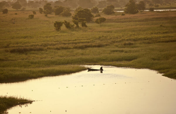
discoverimages.com -
The third one in Top 8 Longest Rivers in South Sudan that Toplist would like to introduce to you is Jur River. The Jur River (also known as the Sue River) is a river in western South Sudan that flows through the regions of Bahr el Ghazal and Equatoria. It flows north and northeast for 485 kilometers (301 miles), eventually joining the Bahr el Ghazal River on the western side of the Sudd wetlands. As the Bahr al-Ghazal flows into the White Nile, the Jur River (Luo River) is part of the Nile basin.
The Lur River runs seasonally. In September, its discharge can reach 400 m3/s (14,300 cu ft/s). The Luo River's upper course is also known as the Sue.
The Jur River's headwaters flow from the Congo-Nile Divide, which runs along South Sudan's border with the Democratic Republic of the Congo and the Central African Republic and separates the Nile and Congo River basins. The main tributaries are the Sue River (also known as the Jur), the Busseri River, the Wau River, and the Numatinna River. The spelling and precise meaning of these river names vary depending on the source. The tributaries meet near Wau, the capital of the Western Bahr el Ghazal state.
The Jur River bends eastward below Wau, entering the swampy Sudd region. Because of the wetlands' nature, it is not always clear whether one river flows into another or simply merges in the Sudd swamps. Some sources list the Lol River as a Jur tributary, while others do not. According to some sources, the Jur joins the Bahr al-Arab, and the confluence marks the beginning of the Bahr el Ghazal, but more recent sources say the Jur joins the Bahr el Ghazal at Lake Ambadi, and the Bahr al-Arab joins the Bahr el Ghazal some distance downstream from Lake Ambadi.
The Lol, Jur, Tonj, Bahr al-Arab, and other streams, according to author Mamdouh Shahin, are all tributaries of the Bahr el Ghazal, but their channels disappear in the wetlands before reaching any outlet.
Length: 485 km (301 mi)
twitter.com 
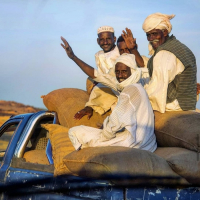
Photo: South Sudan Digital: SSDTV''s Facebook -
The fourth one in Top 8 Longest Rivers in South Sudan that Toplist would like to introduce to you is Achwa River. The Achwa River flows through Uganda in eastern Africa. It flows through the country's northern central region, draining much of Uganda's northern plateau and northeastern highlands before crossing into South Sudan and joining the White Nile- a river in Africa that is one of the Nile's two main tributaries, the other being the Blue Nile. It is known as the Aswa River in South Sudan.
The Achwa bridge on Moroto Road is one of the few that has withstood the test of time.
Awere trading center is located on the border of Omoro and Pader Districts.
Three Achwa Hydroelectric Power Station was built across Achwa River in South Sudan:
- The Achwa 1 Hydroelectric Power Station (A1HPS), also known as the Achwa I Hydroelectric Power Station, is a hydroelectric power station in Uganda that is currently under construction (2020) and has an installed capacity of 41 megawatts (55,000 hp)
- The Achwa 2 Hydroelectric Power Station in Uganda is a 41 megawatt (55,000 hp) hydroelectric power plant.
- Achwa 3 Hydroelectric Power Station, also known as Achwa 3, is a 10 MW (13,000 hp) hydroelectric power project in Uganda.
Length: 434 km (270 mi- shared with Uganda)
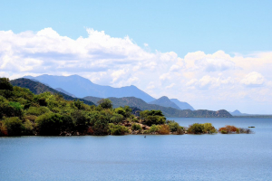
Photo: Olo Moses's Facebook 
Photo: Ojok Charles's Facebook -
The fifth one in Top 8 Longest Rivers in South Sudan that Toplist would like to introduce to you is Akobo River. The Akobo River is a river that runs through South Sudan and Ethiopia. It flows west for 434 kilometers (270 miles) from its source in the Ethiopian Highlands near Mizan Teferi to join the Pibor River. The Pibor River empties into the Sobat River, which empties into the White Nile.
The Akobo river's tributaries include the Cechi, Chiarini, and Owag on the Ethiopian side, and the Neubari, Ajuba, and Kaia on the South Sudanese side.
Major H.H. Austin and Major Charles W. Gwynn of the British Royal Engineers defined the border between Sudan and Ethiopia near the Akobo River in 1899. They knew nothing about the land, its inhabitants, or their languages, and they were running low on supplies. Rather than defining a line based on ethnic groups and traditional territories, essentially along the escarpment that separates the highlands and plains, Majors Austin and Gwynn proposed simply drawing the line down the middle of the Akobo River and parts of the Pibor and Baro rivers. This boundary was finalized in the Anglo-Ethiopian Treaty of 1902, resulting in the Baro Salient in the Ethiopian Gambela Region.
In terms of natural features and people, the Baro Salient is more closely linked to South Sudan than Ethiopia. During Sudan's long civil wars, insurgents used the Baro Salient as a safe haven. Sudan found it difficult to assert authority over a region that is part of Ethiopia, and Ethiopia was hesitant to police this remote region and become involved in Sudan's internal conflicts.
Several mining surveys have been conducted on the Akobo. Engineers from COMINA explored the Akobo and its tributaries in 1939. North-flowing tributaries seemed to be more promising than south-flowing tributaries. Gold values of up to 10 grams per cubic meter have been discovered in Chama Creek, with an average value of 0.7 g per cubic meter possible. Between 1952 and 1954, the Ministry of Mines employed up to 120 miners at a time. They produced 1.66 grams of gold per day on average.
Length: 434 km (270 mi) - shared with Ethiopia)
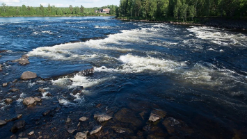
atlas.nilebasin.org 
flickr.com -
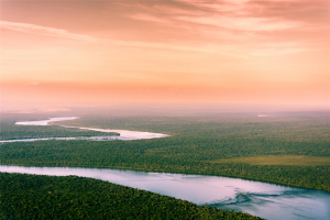
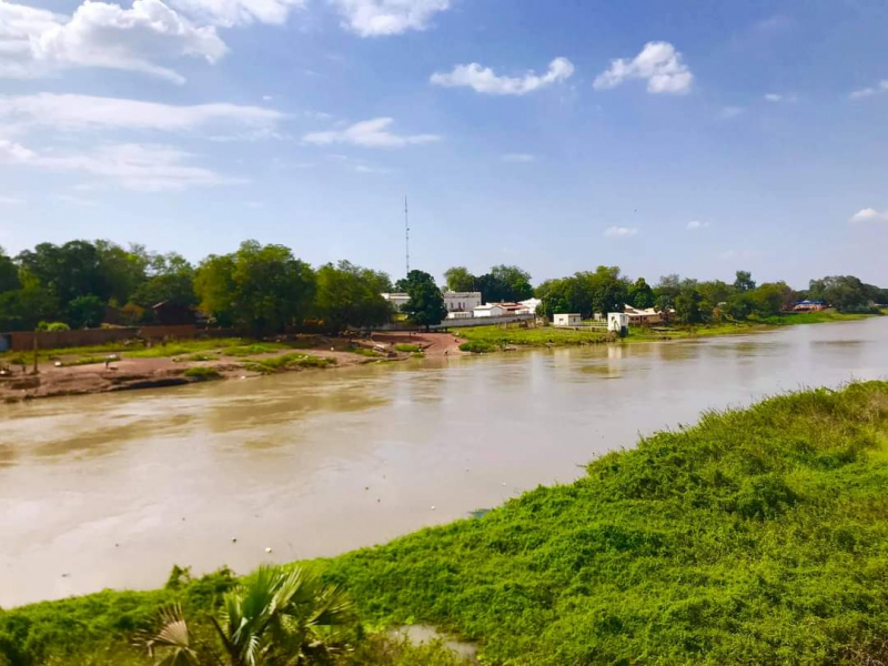
The Sobat River is a river in northeastern South Sudan, Africa, that is part of the Greater Upper Nile region. It is the most southerly of the White Nile's great eastern tributaries before it joins the Blue Nile (White Nile and Blue Nile are two main tributaries of Nile River- a major north-flowing river in northeastern Africa and Africa's longest river)
On the border with Ethiopia, the Sobat River is formed by the confluence of the west-flowing Baro River and the north-flowing Pibor River. The river enters the White Nile near Malakal in Upper Nile State at Doleib Hill.
When the Sobat River floods, it produces a massive discharge of white sediment, giving rise to the name "White Nile."
The Sobat and its tributaries drain an area of about 225,000 km2 (87,000 sq mi). The average annual discharge of the river is 412 m³/s (14,550 ft³/s).
Length: 354 km (220 mi)
en.wikipedia.org 
twitter.com -
The Pibor River (also known as the River Pibor) is a river in eastern South Sudan that forms a portion of the country's border with Ethiopia. It flows north for about 320 kilometers (200 miles) from its headwaters near Pibor Post, joining the Baro River to form the Sobat River, which is a tributary of the White Nile.
The Pibor and its tributaries drain a watershed covering 10,000 km2 (3,900 sq mi). The average annual discharge of the river at its mouth is 98 m3/s (3,460 ft3/s).
The Pibor River is formed by a number of streams that join at Pibor Post, a colonial-era outpost built in 1912 and originally known as Fort Bruce. The Pibor River flows north and meets the Akobo River near Akobo. Continuing north, the Pibor is joined by the Gilo and Bela rivers on the right before joining the Baro River to form the Sobat River.
The Ethiopian Highlands are drained by the Pibor, Baro, Gilo, and Akobo rivers. The Baro River is by far the largest, accounting for 83% of all water flowing into the Sobat River. During the rainy season, between June and October, the Baro River alone contributes approximately 10% of the water to the Nile at Aswan, Egypt. During the dry season, however, these rivers have very little flow.
Length: 320 km (200 mi- shared with Ethiopia)
en.wikipedia.org 
wikidata.org -
The Baro River or Baro/Openo Wenz, also known as the Openo River by the Anuak, is a river in southwestern Ethiopia that forms part of Ethiopia's border with South Sudan. It flows west for 306 kilometers (190 miles) from its source in the Ethiopian Highlands to join the Pibor River. The confluence of the Baro and Pibor rivers marks the beginning of the Sobat River, a tributary of the White Nile.
The Baro and its tributaries drain a watershed covering 41,400 km2 (16,000 sq mi). The average annual discharge of the river at its mouth is 241 m3/s (8,510 ft3/s).
The Baro/Openo River is formed by the confluence of the Birbir and Gebba Rivers east of Metu in the Oromia Region's Illubabor Zone. It then flows west through the Gambela Region, merging with the Pibor River to form the Sobat. The Alwero and Jikawo Rivers are two other notable tributaries of the Baro/Openo. To the west of Jikawo, the Baro River merges with the Pibor River. During the rainy season, the river floods to form the vast inundated area to the east and south of Jikawo, previously reaching as far east and south as Abobo and Gog.
Length: 306 km (190 mi)
search.library.wisc.edu 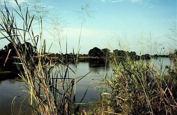
wikimapia.org