Top 9 Longest Rivers in South Korea

The Nakdong and Han rivers in South Korea are over 300 miles long and pass through some of the country's largest cities, including Daegu. These two rivers ... read more...supply water to the majority of Koreans and industries. These waters are also used to fish and irrigate farms. Toplist has compiled the 9 longest rivers in Korea that make important contributions to the development of the country and the lives of Korean people.
-
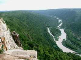
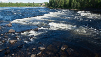
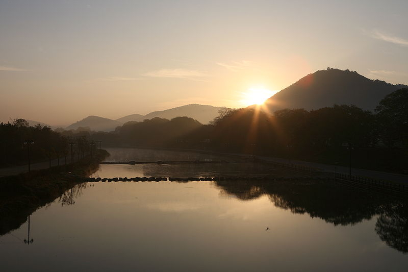
The Nakdong River, also known as the Nakdonggang, is a river in South Korea and the South Korea's longest river, passing through major cities such as Daegu and Busan. It gets its name from its role as the Gaya confederacy's eastern border during Korea's Three Kingdoms Era.
The Nakdong River flows from the Taebaek Mountains to the South Sea, also known as the Korean Strait, which separates Korea and Japan. The river is formed by the confluence of the Cheolamcheon and Hwangjicheon streams in Dongjeom-dong, Taebaek city, Gangwon province. The river's width varies from a few metres in its upper reaches to several hundred metres near its estuary.
The Yeong, Geumho, and Nam rivers are major tributaries. The Nakdong, along with its tributaries, drains the majority of North Gyeongsang and South Gyeongsang provinces, as well as small portions of North Jeolla, South Jeolla, and Gangwon. The total area of the watershed is 23,384 square kilometers (9,029 sq mi).
Length: 510 km (320 mi)
en.wikipedia.org 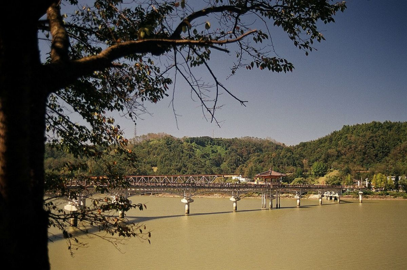
vi.wikipedia.org -
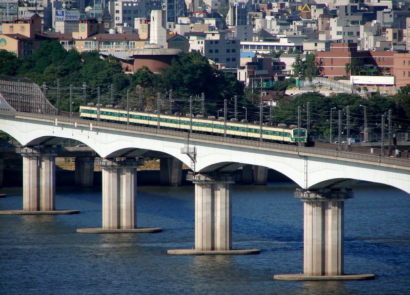
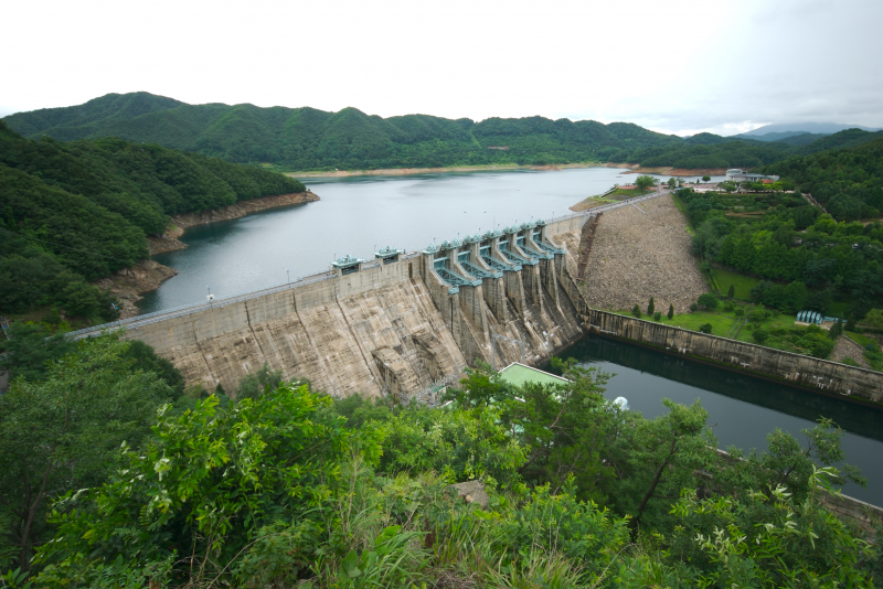
The Han River, also known as the Hangang, is a major river in South Korea and one of the longest on the Korean peninsula. The river is formed by two smaller rivers in the eastern mountains of the Korean peninsula, which converge near Seoul, the country's capital.
The Han River and its environs have played significant roles in Korean history. The Three Kingdoms of Korea fought for control of this territory, where the river served as a trade route to China (via the Yellow Sea). The river is no longer actively used for navigation because its estuary is located on the border between the two Koreas, making it inaccessible to civilians.
Over 12 million South Koreans rely on the river for drinking water. In July 2000, the US military admitted to dumping toxic chemicals into the river, sparking outrage.
Lower stretches of the Han River, particularly in Seoul, are lined with pedestrian walkways, bicycle paths, public parks, and restaurants. In a 2011 survey of 800 residents and 103 urban planning and architectural experts conducted by the Seoul Development Institute, 51.3 percent of residents and 68.9 percent of experts voted the river the second most scenic location in the city, trailing only Mount Namsan.
Length: 508 km (316 mi)
britannica.com 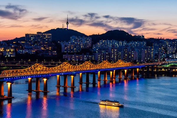
log.trazy.com -
The Bukhan River is a Han River tributary that runs through both North and South Korea. It runs through North Korea's Kangwon province and South Korea's Gangwon and Gyeonggi provinces.
The Bukhan River's headwaters are near Geumgangsan in North Korea; this early section of the river is known as the Geumgangcheon, or "Geumgang Stream." It enters Hwacheon County after crossing the Korean Demilitarized Zone, flowing south through Chuncheon and then west through Gapyeong. In Yangseo-myeon, Yangpyeong, it joins the Namhan River to form the Han River.
Length: 482 km (300 mi)
depositphotos.com 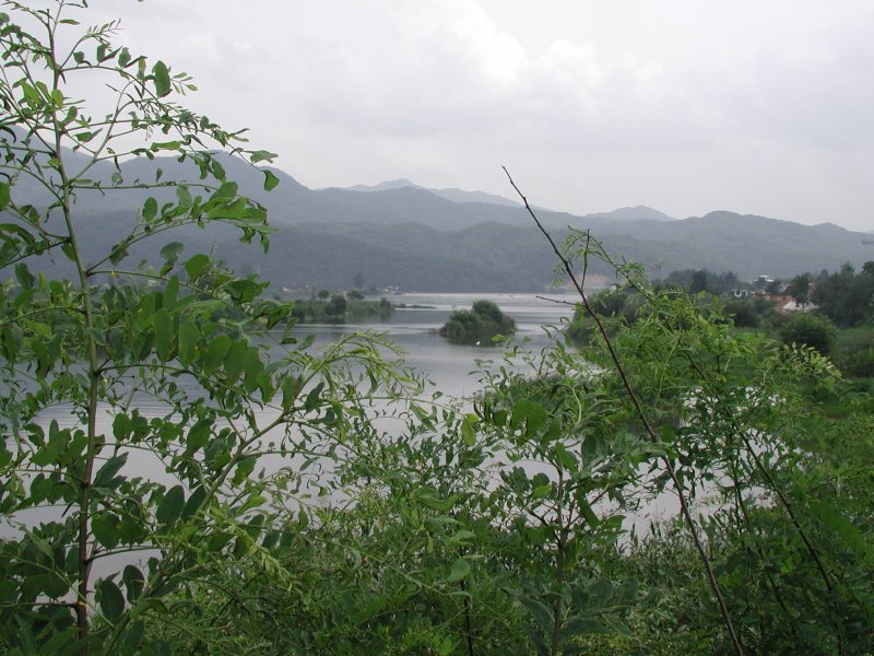
vi.wikipedia.org -
South Korea is home to the Geum River. It is a major river that flows through Jangsu-eup in North Jeolla Province. It flows north through North Jeolla and North Chungcheong Provinces before changing direction near Greater Daejeon and flowing southwest through South Chungcheong Province before emptying into the Yellow Sea near Gunsan.
The river is 397 kilometers (247 miles) long, ranking third in South Korea. The Geum River Basin covers an area of 9,859 square kilometers (3,807 sq mi). The upper section of the river flows slowly through the Noryeong Mountains, with extensive stream meandering. River curves in the middle and lower reaches of the river, on the other hand, are more gradual, and there is less stream meandering.
The Geum has several tributaries, including the Gap-cheon, Yugu-cheon, Miho-cheon, Unsan-cheon, Seokseong-cheon, and Nonsan-cheon. The flow of the Geum and its tributaries has formed several small alluvial plains, including the Honam and Nonsan Plains.
Length: 397 km (247 mi)
vi.wikipedia.org Video: Asher's Ambitions's Youtube Channel -
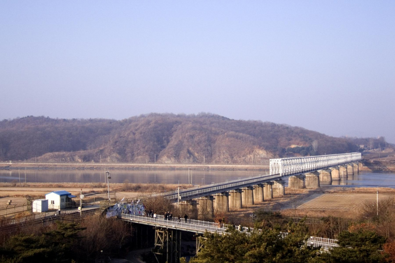
The Imjin River, also known as the Rimjin River, is Korea's seventh largest river. It flows from north to south, crossing the Demilitarized Zone and joining the Han River near the Yellow Sea downstream of Seoul. The river does not bear the name of the Imjin War (Japanese invasions in the late 16th century).
During the rainy season in Korea, which lasts from July to August, the Imjin turns into a raging torrent, largely contained by its steep rocky banks. Its larger tributaries and numerous small mountain streams feed it, allowing it to reach flood heights of 48 feet (15 m) above mean water level and velocities of 15 to 20 feet per second (6 m/s). Imjin has risen at a rate of more than six feet per hour on occasion due to the rapid runoff of approximately 95 percent of precipitation during heavy general rains.
During the harsh Korean winter, icy winds sweep down the Imjin, causing thick ice to form on the river. Fluctuations in river level, particularly tidal action in the lower reaches, break up this ice, and large amounts of floe ice pile up against any obstruction in the channel.
Many South Koreans refer to Imjin as the "River of the Dead" because large numbers of dead bodies have floated down the river from the north in the past. The most recent occurrence occurred during the 1990s famine, when millions of North Koreans are believed to have died of starvation.
Length: 273.5 km (169.95 mi)
vi.wikipedia.org 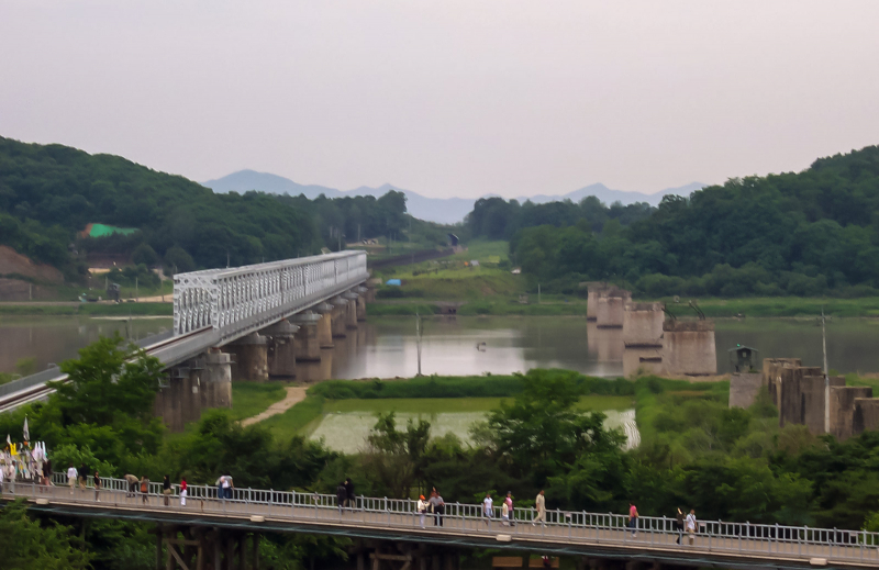
commons.wikimedia.org -
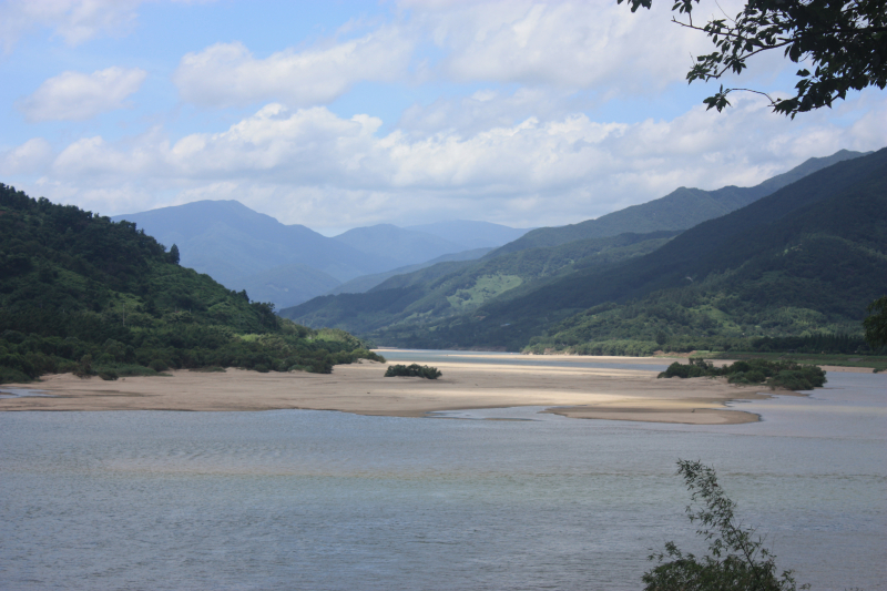
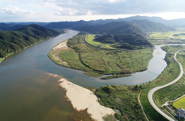
South Korea's Seomjin River is a river. It flows into the Korea Strait from southeastern Jeollabuk-do, eastern Jeollanam-do, and western Gyeongsangnam-do provinces. The Seomjin flows for 212.3 kilometers, beginning in Palgongsan and ending in Gwangyang, where it enters Gwangyang Bay.
The Seomjin watershed spans 4,896.5 km2. This area contains both farmland and pristine mountain country, including the Jirisan area. The river is home to a diverse range of animals, including the European otter, Lutra lutra. The main tributaries are the Boseong River and the Yocheon Stream.
"Seomjin" literally translates to "toad ferry." This name is thought to have originated with Hideyoshi's invasions of Korea in the 1590s. Legend has it that a swarm of toads prevented the Japanese army from crossing the Seomjin into northern Jeolla.
In August 2020, the river overflowed due to consecutive days of heavier-than-usual rainfall, and a levee on the river collapsed, resulting in massive flooding. Thousands of people living in villages and towns along the river were displaced as entire communities were submerged by floodwaters.
Length: 212.3 km (132 mi)
en.wikipedia.org 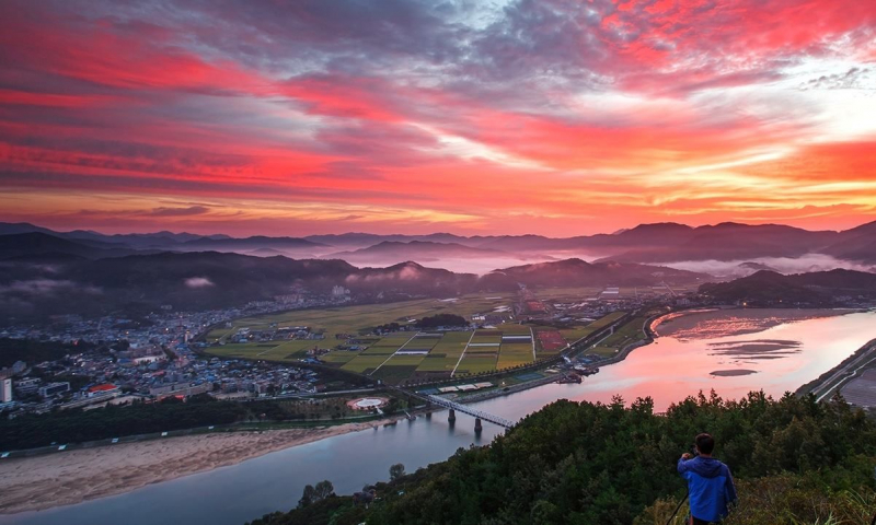
in.pinterest.com -
The Hwang River flows through Gyeongsangnam-do in southeastern South Korea as a tributary of the Nakdong River. It rises in Geochang from the confluence of several streams flowing from the slopes of Deogyusan and flows into the Nakdong in Hapcheon County. It is approximately 117 kilometers long. The name literally translates to "yellow," and it refers to the yellow sand that runs along much of the river's course.
The Hwang is home to a population of endangered European otters due to its relatively clean waters and abundant fish. It has a lot of fish.
Length: 117 km (73 mi)
http://www.busan.com/ 
ohmynews.com -
The Yeongsan River is a river in South Korea's southwest. It is 129 km long and covers an area of 3,467.83 km2.
It flows through Damyang, Naju, Gwangju, and other areas before entering the Yellow Sea at Yeongam via the estuary bank. The Yellow Sea is a marginal sea of the Western Pacific Ocean located between mainland China and the Korean Peninsula, and can be considered the northwestern part of the East China Sea. It is one of four seas named after common colour terms (the others being the Black Sea, the Red Sea and the White Sea), and its name is descriptive of the golden-yellow colour of the silt-laden water discharged from major rivers, including the Yeongsan River.
Length: 129 km (80 mi)
vi.wikipedia.org 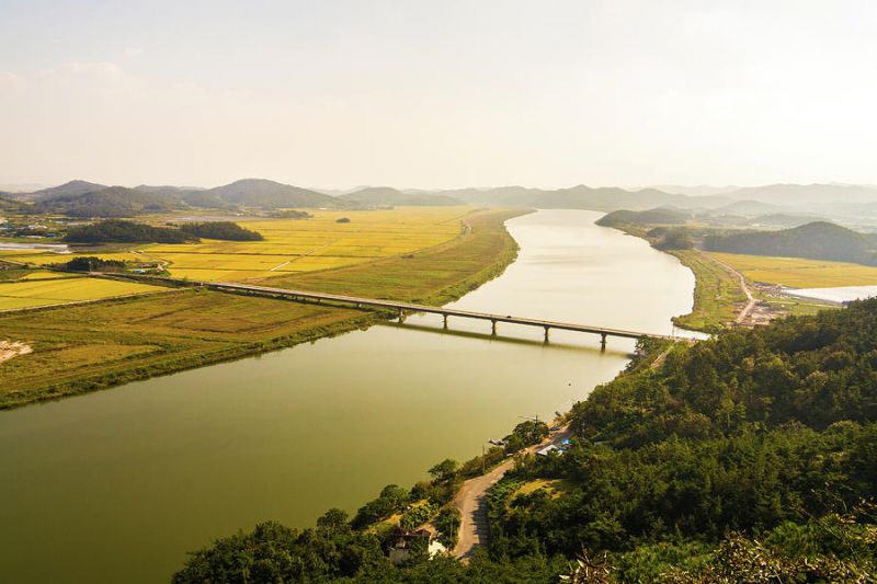
photos.com -
The Geumho River runs through North Gyeongsang Province in South Korea before emptying into the Nakdong River. It begins in the hilly region of western Pohang and flows west for 116 kilometers before joining the Nakdong in western Daegu. It has a drainage area of over 2,000 square kilometers. The Sincheon, which flows north through Daegu, is a notable tributary. Geumho-gang means "river of the zither-shaped lake," referring to the river's oxbow curve in northern Daegu. Much of Daegu's riverbank has been turned into parkland.
The Geumho River is one of the most polluted in South Korea, owing largely to industrial waste from nearby large-scale dyeing operations. This is especially significant given that the Geumho is a tributary of the Nakdong. Samples
Length: 116 km (72 mi)
commons.wikimedia.org 
en.wikipedia.org