Top 4 Highest Mountains in Dominica
Dominica is a Caribbean island republic in the Lesser Antilles. Morne Diablotins, Dominica's highest mountain peak at 4,747 feet, is also the second highest ... read more...mountain in the Lesser Antilles. Toplist will tell you about the 4 highest mountains in Dominica.
-
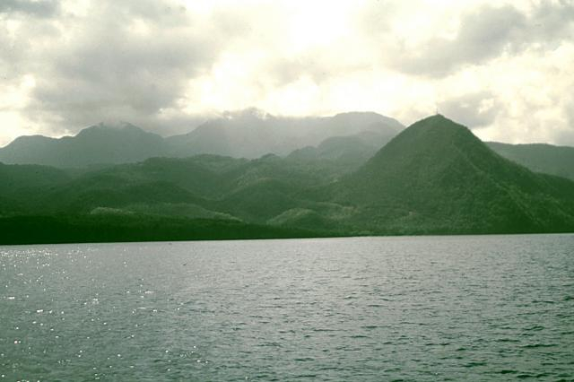
The tallest mountain in Dominica, an island republic in the Caribbean Lesser Antilles, is Morne Diablotins. After Guadeloupe's La Grande Soufrière, it is the second highest mountain in the Lesser Antilles- a group of Caribbean islands, the majority of which are part of a long, partially volcanic island arc between the Greater Antilles to the north-west and the continent of South America. Morne Diablotins is a small hamlet in Dominica's northern interior, some 24 kilometers (15 miles) north of the capital, Roseau, and about 10 kilometers (6.2 miles) southeast of Portsmouth, the island's second-largest town. The coordinates of the mountain are 15°30′12″N 61°23′50″W. Morne Diablotin National Park is home to it.
The mountain is volcanic, and the last time it erupted was approximately 30,000 years ago. There have been no known eruptions in the past. The Toulaman River's source is located in the mountains.
Morne Diablotins is the local name for the endangered black-capped petrel (Pterodroma hasitata).
Location: in the northern interior of Dominica
Elevation: 1,447 m (4,747 ft)
en.wikipedia.org 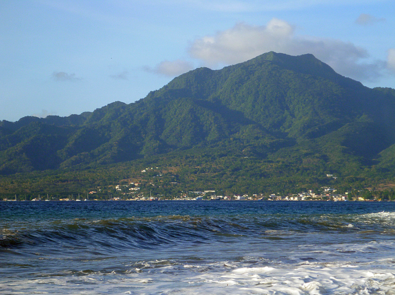
peakery.com -
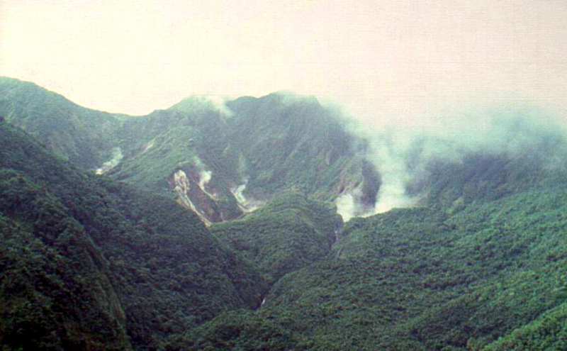
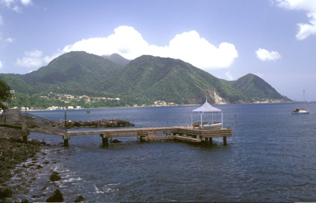
Morne Watt, sometimes known as Watt Mountain, is a mountain in the eastern Caribbean Sea that consists of one or more stratovolcanoes. After Morne Diablotins and Morne Trois Pitons, it is Dominica's second highest mountain at 1,224 meters (4,016 feet). The Boiling Lake and Valley of Desolation thermal zones, which are the most well-known volcanic phenomena in Dominica and important tourist attractions in Morne Trois Pitons National Park, are located atop the mountain.
About 1,300 years ago, Morne Watt was the site of a massive eruption that resulted in pyroclastic flows. In 1880, a VEI-2 phreatic eruption at the Valley of Desolation thermal area dropped ash 10 kilometers (6.2 miles) away from the peak. In July 1997, there was a modest VEI-1 phreatic eruption. The 1880 and 1997 eruptions are the only ones known to have occurred in the Dominican Republic.
Location: at the south end of Dominica in the eastern Caribbean Sea.
Elevation: 1,224 m (4,016 ft)
volcano.si.edu 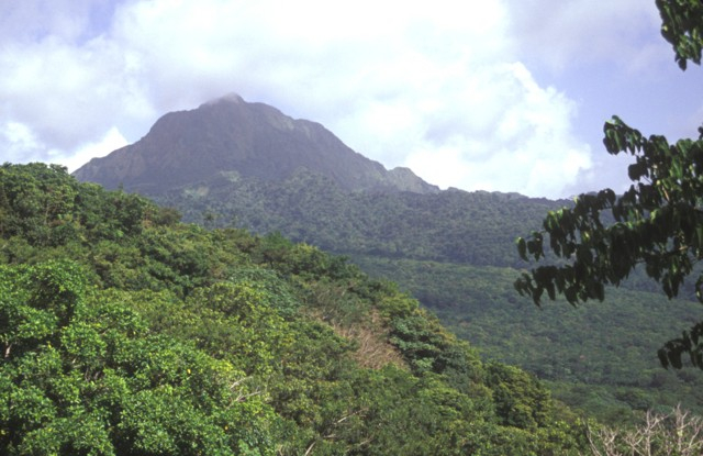
commons.wikimedia.org -
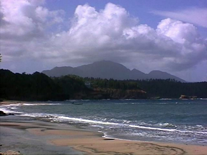
Morne Plat Pays is a volcano on Dominica's island. The volcano, which is located in the island's southern area, last erupted in 1270 AD.
A series of earthquake swarms have occurred around the mountain since the mid-eighteenth century, but they are unrelated to the eruptive activity of Morne Plat Pays. According to a December 1998 report, the sequence of earthquakes reached an apparent climax on the 22nd and 23rd of October 1998, when approximately 370 earthquakes occurred, with over 100 of them being felt. Since then, the number of earthquakes has declined irregularly, with smaller maxima on December 6 and 30, 1998. The earthquakes are part of a trend that has lasted at least 250 years. The current earthquakes are NOT related to Morne Patates or any other volcano in Dominica, and there has been no other evidence of volcanic activity. However, a continuous volcanic hazard exists, and many Dominicans are concerned because this series of earthquakes coincides with recent events on the nearby island of Montserrat.
Location: Dominica, Caribbean
Elevation: 940 m (3,080 ft)
en.wikipedia.org 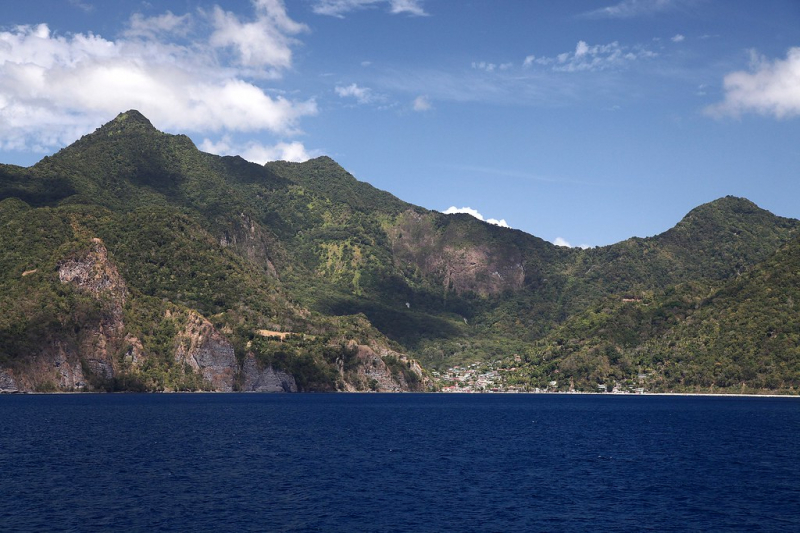
flickr.com -
Devil's Peak, also known as Morne aux Diables, is a volcano on the Dominican Republic's island of Dominica. The volcanic structure is the island's northernmost peak. Morne aux Diables is the northernmost of Dominica's nine volcanic centers (Lindsay and others, 2005). Five complete andesitic crystal rich lava domes form a central depression in the complex. A 'Cold Soufrière' is visible within the depression, with hydrothermally altered rocks and numerous small bubbling pools. Although no historical eruptions are documented, the volcano appears young, and activity at flank domes presumably lasted into the late Pleistocene and Holocene (Lindsay and others, 2005). According to Robert Watts of the University of the West Indies (UWI) Seismic Research Centre, the volcano is still peaceful, despite significant seismicity in 2009 and 2010.
Seismic swarm between 2009 and 2010:
According to Watts and others (2012), the most common area of seismicity has been in Dominica's southeast sector. There were bursts of activity in the north in 1841, 1893, and 2000, as well as a particularly intense week-long surge of more than 500 earthquakes in 2003. Following six years of low-level activity, a practically constant series of earthquakes began in June 2009 beneath the central area of Morne aux Diables. The seismic swarm lasted at least through 2010, with changes in activity consistent with volcano-tectonic (VT) activity.
The VT series peaked in December 2009, with many occurrences felt by people on the volcano's flanks, but after that, earthquake activity has gradually decreased. Beginning in December 2010, VT earthquakes began to shallow with time (a few approaching 1 km depth), indicating that they are associated to a vertical re-adjustment of tensions beneath the volcano, most likely driven by magma flow (Watts and others, 2012).Sulfur springs can be found close to the volcano.
Location: on the island of Dominica
Elevation: 861 m (2,825 ft)
volcano.si.edu 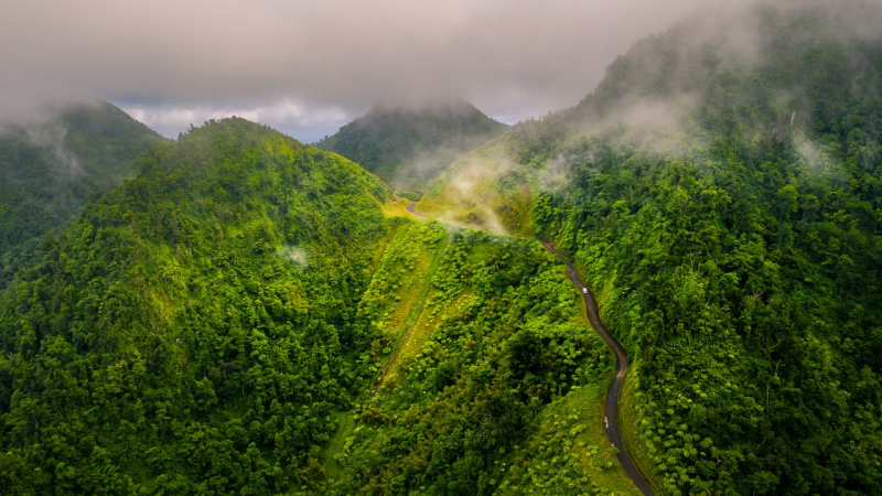
peakd.com


