Top 5 Highest Mountains in Iran
Iran is a Middle Eastern country that has borders with Afghanistan, Armenia, Azerbaijan, Iraq, Pakistan, Turkey, and Turkmenistan. The country is mostly arid ... read more...or semi-arid, with subtropical weather, especially along the Caspian shore. The country has a mean elevation of 1,035 meters, with the highest point being Kuh-e Damavand at 5,670 meters and the lowest point being 28 meters below sea level in the Caspian Sea. Iran has an area of 1,648,195 square kilometers and is one of the world’s most mountainous countries.
-
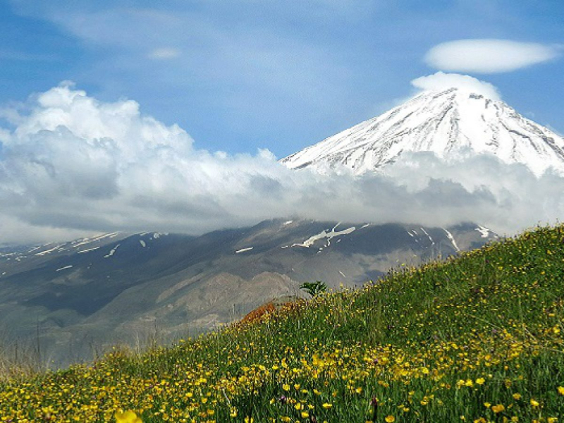
Mount Damavand is 18,410 feet tall. The Elburz Range is centered on the volcanic peak. The Elburz mountain range stretches along the southern shore of the Caspian Sea from west to east in Iran. The Elburz mountain range serves as a natural barrier between central Iran's parched plateaus and the Caspian coast's lush slopes. Mount Damavand is a well-known figure in Persian mythology. A three-headed dragon, according to tradition, was tied to the mountain and would remain there until the end of time.
The mountain is so prominent that it is depicted on an Iranian banknote worth 10,000 Rials. Mount Damavand is also said to possess mystical abilities. The hot springs on the mountain's slopes suggest that there is a volcanic activity under the surface. The mountain is home to a diverse range of animals, including wild goats and sheep, bears, and leopards. The mountain is also home to a variety of bird species. Mountain Tulips and other wildflowers may be seen throughout Damavand. Mount Damavand has been recommended as a national heritage monument by a group of mountaineers. The Mountain is intended to be named after an old festival known as Tabari Nowruz.
Height: 18,406 feet
Location: Amol, Māzandarān, Iran
tripadvisor.co 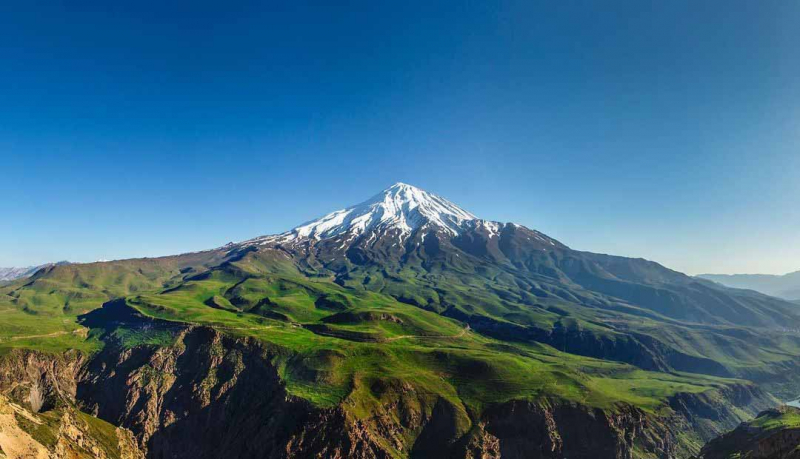
tripadvisor.co -
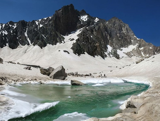
With a height of 15.906 feet, Mount Alam-Kuh is Iran's second tallest peak. In northern Iran, it is also part of the Elburz Mountain Range. The northern slopes, which face the Caspian Sea, are wet and lush, whereas the southern slopes, which face the Iranian desert, are arid and desolate. Throughout the year, the mountain top is covered in snow.
Permanent snow and glaciers are supported by the mountain range. Although the range's southern slopes are arid and barren, the northern valleys leading to the Caspian Sea (which provide the greatest access to the mountains) are lush and green.
The 800 m high, steep granite north face offers some of the most challenging and intriguing mountaineering routes in the nation, ranking with famous European Alps routes. The north face draws European climbing teams in addition to local climbers. In 1936, a German group (Gorter/Steinauer) made the first documented climb from the north via the northwest ridge.
Height: 15,906 feet
Location: Kelardasht District of Mazandaran Province of Iran
iranonadventure.com 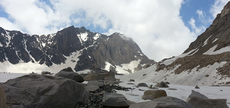
iranonadventure.com -
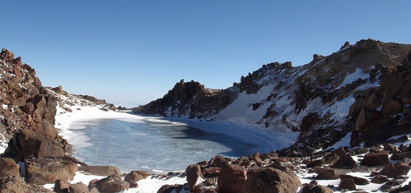
Mount Sabalan, also in the Elburz mountain range, is a dormant volcano. It is Iran's third tallest peak, standing at 15,748 feet. Beautiful scenery abounds on the hills. A lake at the summit of the mountain is frozen for most of the year. Mineral springs with purported medicinal qualities flow down the mountainside. Nature has fashioned out a magnificent Eagle Statue on the hillside. In Iran, the mountain is a well-known tourist destination. It also has religious importance for those who follow the Zoroastrian religion. These people think that Mount Sabalan was where Zoroaster, the founder of Zoroastrianism, pondered.
The climate atop the mountain is continental, with hot, dry summers and bitterly cold, snowy winters. In late autumn, winter, and spring, precipitation mostly falls as snow, and it's enough to keep seven glaciers at the top of over 4,000 meters alive (13,000 ft). In the 1970s, the largest of them were more than 1.5 kilometers (1 mile) long. There are also large rock glaciers, some of which are more than 3 kilometers (2 miles) long.
Height: 15,784 feet
Location: Meshkinshahr, Iran
visitiran.ir 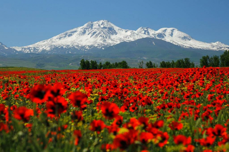
visitiran.ir -
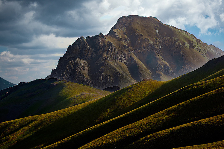
Azad Kooh is one of the tallest peaks in Iran's central Alburz Range, located in Mazandaran province. Kooh means mountain in Persian, and Azad means free, therefore Azad Kooh means The Free Mountain. Because of Azad Kooh's cone-like form and lack of connection to its neighboring peaks, its name was most likely given by locals.
In the summer, you won't need any technical equipment to climb Azad Kooh because it is not a tough climb. The easier and quicker path is from Kalaak-e-Baalaa village, whereas the longer and more difficult route is from Vaarange Rud village. The first takes 1–2 days, whereas the second takes 2–4 days. There is no shelter on either route, so if you want to camp, you'll need to bring your own tent. In the winter, Azad Kooh is not as simple to climb since there will be a lot of snow and the risk of an avalanche on any path.
Height: 14,921 feet
Location: Azad Kooh Summit, Mazandaran, Iran
mountain-forecast.com 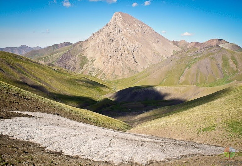
mountain-forecast.com -
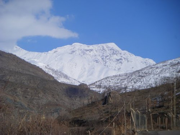
Hazaran (Hazar, Hezar) is the name of a massif in Kerman Province, Iran, that is an outlier of the Zagros Mountains to the east. It is the tallest peak in Kerman Province, standing at 4500 meters. The Jebal Barez chain is a continuation of the Jebal Barez series to the southeast. In the Bid Khan area, the Halil River rises. Kerman, Bardsir, Sirjan, Baft, Jiroft, and Bam are all located in the vicinity of the massif.
Mount Hazar or Hazaran, composed primarily of Eocene andesite and pyroclastic rocks, is located in the Sahand-Bazman volcanic range or belt, a mountain range formed primarily during Eocene volcanism and extending approximately from Sahand Volcano in the north-west of Iran to Bazman Volcano in the south-east of Iran.
The greatest times to climb this mountain area are in the mid-spring and early fall when most of the climbing sections will be quite hot. In the summer (mid-July to mid-September), however, there are other climbing options: Pole-khab, band-e-yakhchal,..., and, most notably, Alam Kooh, Iran's gold standard.
Height: 14,764 feet
Location: Central Iranian Plateau, Kerman Province, Iran
peakvisor.com 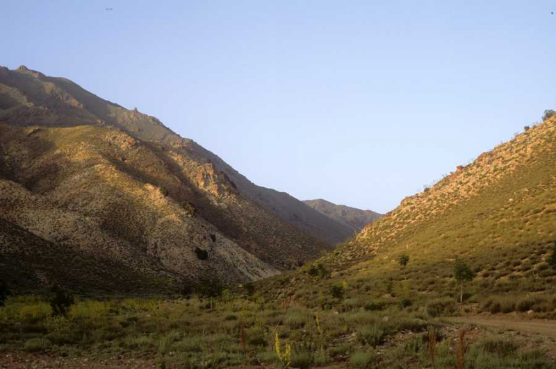
peakvisor.com


