Top 4 Highest Mountains in Israel
Israel's landscape is immensely diversified; if you get up early enough, you can dive with tropical fish in the Red Sea, ride through the Arava and Negev ... read more...deserts, and swim and sunbathe by the Mediterranean Sea all in the same day. Another thing that strikes me about Israel is how many mountains it has. Many tourists are unaware of this; they imagine sun, water, and sand, unaware that fantastic climbing and hiking opportunities can be found within an hour or two of both Jerusalem and Tel Aviv. Mountains have religious significance in Israel, and are essential to Christians, Jews, and Muslims alike. Here is the list of the 4 highest mountains in Israel.
-
Mount Hermon, also known as Har Hermon in Hebrew, is a mountain range in Lebanon that includes the southernmost part of the Lebanon Mountains. Its top stretches across the Syrian-Lebanese border, with the highest point in Syria at 2814 meters above sea level. Mount Hermon's southern slopes continue all the way to the Israeli Golan Heights, where the Mount Hermon ski resort sits at an elevation of 2236 meters. The Hermon range stretches about 70 kilometers and spans a total area of 700 square kilometers, of which Israel owns 70 square kilometers. Mount Hermon is a series of mountains with three peaks that are about the same height.
It is Israel's highest mountain and holds significant religious and cultural significance. The elevation of the mountain is 7336 feet. Because of its height, it may capture a lot of rain in this generally arid region. In December 1974, it was designated as a natural reserve. Because of the spectacular height of the mountains, vegetation begins to develop and blossom in August rather than in the spring. The heights are also home to a variety of animals and insects, including rare butterfly species and reptiles like snakes. Mount Hermon also boasts a beautiful waterfall where it meets the Golan Heights. It is one of the most popular hiking paths and continues to be a popular tourist destination. The Bania's waterfall is a popular tourist destination.
Location: Golan Heights
Elevation: 2814 m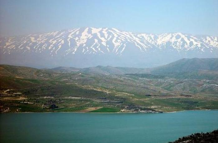
Photo: asianews 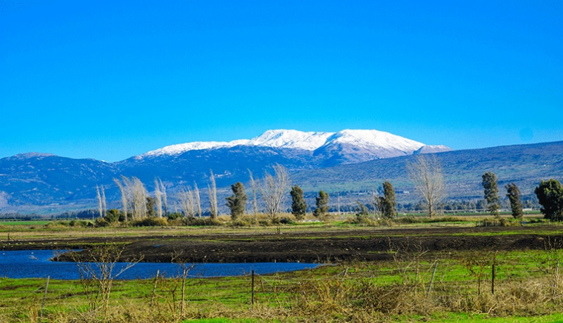
Photo: elal -
Mount Meron, at 3,963 feet above sea level, is one of the highest peak inside Israel's. Mount Meron is taller than many summits in Israel's occupied Golan Heights, including Mount Hermon.
In 1965, Mount Meron and the surrounding areas were designated as a 32.4-square-mile natural reserve, which was expanded by 5 squares mile in 2004. If a specified trail is not followed, the mountain and nature reserve are significantly overgrown, making traversing the region extremely difficult. The Summit Trail is the most popular hiking trail on the mountain, with three lookout sites and a spectacular vista after hikers reach the top. Visitors may see Safed, Tiberias, the Galilean Hills, and tiny settlements over the Lebanese border from various locations on the Summit Trail.
The tomb of Rabbi Shimon bar Yochai, an important person in Judaism and a student of the legendary Rabbi Akiva, is the main attraction of Mount Meron, in addition to the natural splendor. Thousands of Israelis travel to Meron each year in the weeks leading up to the Lag B'Omer holiday to commemorate Rabbi bar Yochai's life and death. In 2015, the mountain community of Meron had an estimated population of 898 people.
Location: Upper Galilee
Elevation: 1208 m
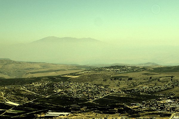
Photo: tripadvisor 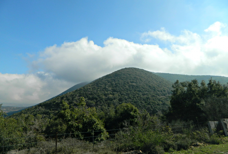
Photo: israelsgoodname -
Har Ha'Ari is located in the Upper Galilee and is 1047 meters (3435 ft) high. It is one of Israel's highest mountains, standing at 1047 meters (3435 feet), and is located about 1 kilometer south of Beit Jann. It is close to the Baha' ad-Din Druze shrine, which is most likely dedicated to the founding Druze leader of the same name. The landscape visible from the top of the mountain makes it a favorite paragliding spot. On a clear day, it provides views of the Gilboa Mountains and the Mediterranean Sea.
The climate in Har Ha'Ari is Mediterranean, with scorching summers and chilly, damp, and occasionally snowy winters. Because of its elevation, it is susceptible to high winds at any time of year. On the mountain, the precipitation rate is significant, averaging about 1000 mm per year. The months of October to May see the most precipitation.
Location: Upper Galilee
Elevation: 1047 m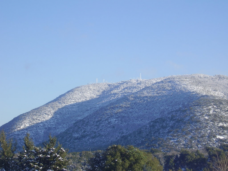
Photo: peakvisor 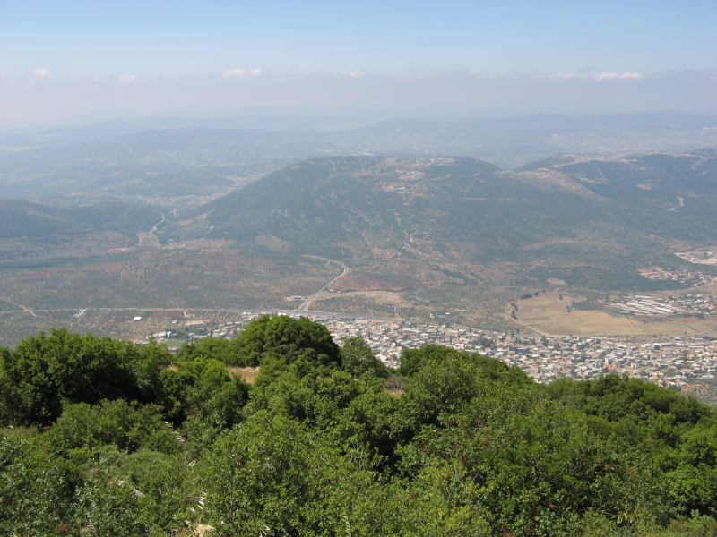
Photo: wikimediacommons -
The Judaean Mountains, sometimes known as the Judaean Hills, are a mountain range in Israel and the West Bank that is home to Jerusalem, Hebron, and a number of other biblical cities. The peaks rise to a height of 1,026 meters (3,366 ft) is one of the highest mountains in Israel. The Mount Hebron ridge, the Jerusalem ridge, and the Judean slopes are only a few of the subregions that make up the Judean Mountains. The Judaean Mountains were the center of the Kingdom of Judah (930-586 BCE), and it was here that the first Jewish towns arose, from whence Jews descend.
The Judaean Mountains are the surface expression of a series of north-northwest trending monoclinic folds that run through Israel. The folding is the most visible manifestation of the Syrian Arc band of anticline folding, which began in northeast Africa and southwest Asia during the Late Cretaceous Period. The Syrian Arc stretches east-northeast over the Sinai Peninsula, then swings north-northeast across Israel before continuing east-northeast into Syria. The Israeli section runs parallel to the Dead Sea Transform to the east. The mountain was formed by two uplift occurrences, one in the Late Eocene-Early Oligocene and the other in the Early Miocene. Elephants, rhinoceros, giraffes, and wild Asian water buffalo, which are no longer seen elsewhere in the Levant, were once prevalent here in prehistoric times.
Location: Israel and the West Bank
Elevation: 1026 m
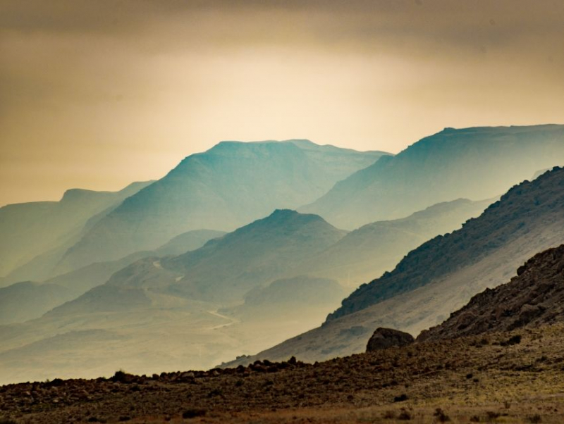
Photo: cityseeker 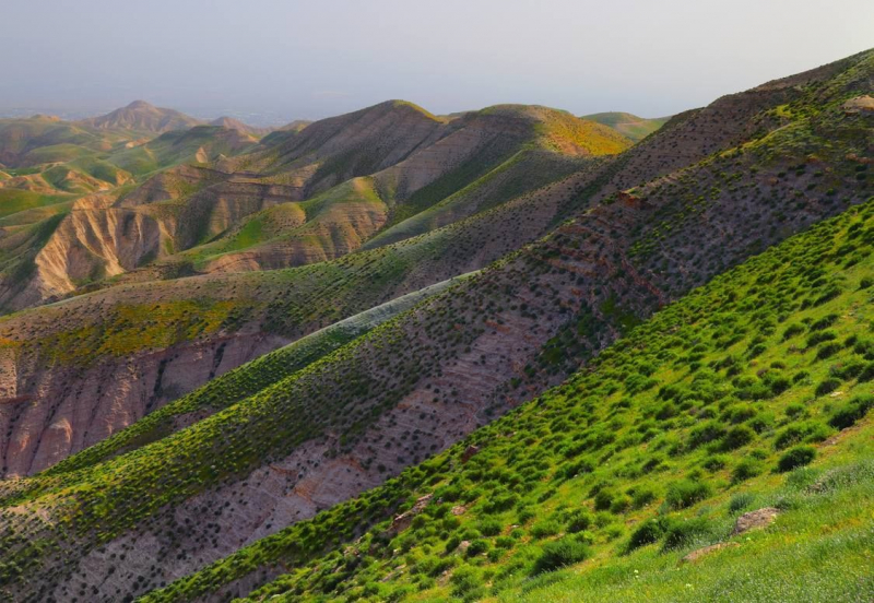
Photo: pinterest


