


Top 5 Highest Mountains in Laos

Laos is a landlocked Southeast Asian country. Thailand, Vietnam, Cambodia, and China all share its boundaries. Mountain ranges, plateaus, and highlands cover ... read more...seventy percent of the country. The country's overall geography is steep and hilly, with dense green woods. Phou Bia, at a height of 9,242 feet, is the highest point in Laos, while the Mekong River, at a depth of 229 feet, is the lowest. Only a small portion of the country is suitable for agriculture, with the majority of the land being around the Mekong River, near the Thai border. This page discusses some of the country's biggest peaks. Here is the list of 5 highest mountains in Laos.
-
Phou Bia is Laos' highest mountain, standing at the southern end of the Xiangkhoang Plateau in Xiangkhouang Province. Because of the mountain's height, the surrounding area is cold and foggy. Although no snow has been seen for decades, it is said that snow fell on its peak as recently as the first years of the twentieth century. The location is secluded, densely forested, and has been exploited by Hmong guerillas. Around 60,000 Hmong who were assisting FAC operations sought sanctuary in the Phou Bia massif in the 1970s. As late as 2006, there were indications of smaller Hmong hideouts in the area.
Phou Bia is located in a restricted military region near the decommissioned Long Chen air station, and as a result, it receives few tourists. Access is further complicated by unexploded ordnance. There had been no known ascent by a non-Lao individual for at least 30 years as of July 2008.
Officials from Xaisomboun Province declared in 2021 that Phou Bia Mountain would be developed as a "sustainable development tourism location" worth US$500 million. Under a 99-year concession, the development will be centered on Phou Houa Xang Village in Anouvong District, Xaisomboun.Elevation: 2819 m (9249 ft)
Location: Xiangkhouang Province, Laos
Parent range: Annamite Range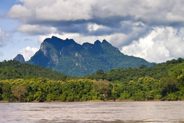
Photo: addflag 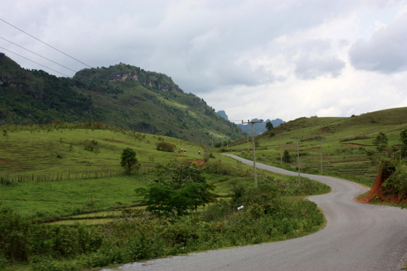
Photo: elevation.maplogs -
The Annamite Range's Phu Xai Lai Leng is a mountain in Southeast Asia. It stands at a height of 2720 meters on the Laos-Vietnam international boundary. It is one of Southeast Asia's most conspicuous summits.
The mountain is mostly made up of granite and is surrounded by Asian tropical trees. The mountain supports a diverse range of plant species, including moss and flower serials. The paths to the summit of the mountain are perilous, and travelers seeking excitement are the ones who use them.
Exploring Phu Xai Lai Leng is not simply climbing a high mountain, but an exploration and enjoying the magnificent nature. The scene with overlapping mountains and forests, long dinosaur spines, clouds swirling around from morning to afternoon. When the sun rises, the sky becomes blue and clear, the clouds below are white, that's when people have the feeling of conquering nature.
Elevation: 2720 m (8920 ft)
Location: Laos – Vietnam border
Parent range: Annamite Range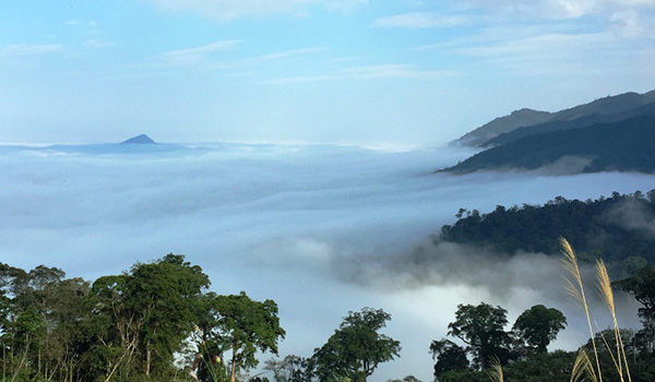
Photo: golaos.tours Youtube: Tran Dang Dang Khoa -
Phou Samsoum is Laos' third-highest mountain. It's in the province of Luang, in the state's northern corner. The mountain's summit is 7,961 feet above sea level, and the mountain's width is 1.42 kilometers. The landscape is mountainous, and the area surrounding the mountain is sparsely populated, with a population density of about 27 people per square mile. The mountain is surrounded by evergreen and deciduous forests, and the yearly mean temperature is 240°C.
Elevation: 2632 m
Location: Xiangkhoang, Laos
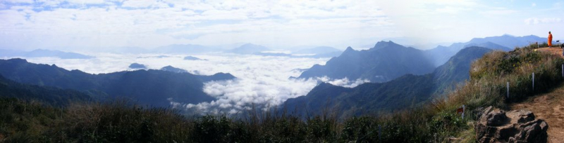
Photo: peakvisor Youtube: L R Her -
The mountain of Phou Xao is found in the province of Xieng Khouang in northeastern Laos. With a height of 7,846 feet above sea level, it is the fourth-highest mountains in Laos. The area around the mountain is hilly at first, but as it descends southwards, it becomes mountainous. The vegetation is evergreen deciduous woodland, and the annual mean temperature is 170 degrees Celsius with 2333 millimeters of rainfall. With a population density of 24 persons per square mile, the area at the mountain's foot is sparsely populated.
Elevation: 2585 m
Location: Xiangkhoang, Laos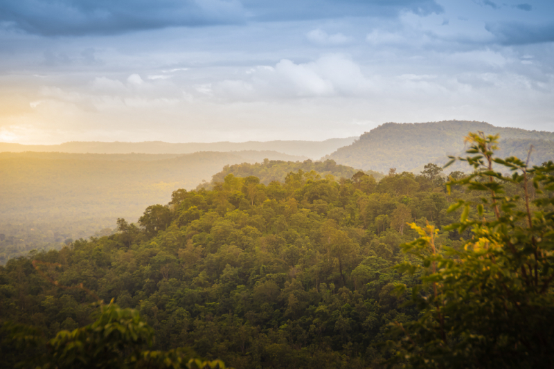
Photo: Mekongmoments -
Laos' Phou Muang-Ngat is a mountain. It is 200 kilometers northeast of Vientiane, the country's capital, in the Xiangkhouang province in the northeastern portion of the country. Phou Muang-Ngat is located 2,356 meters above sea level and it is one of the highest mountains in Laos.
Towards the northeast, the ground near Phou Muang-Ngat is hilly, but in the southwest, it is mountainous. Phou Nammô, 2,441 meters above sea level and 2.6 kilometers east of Phou Muang-Ngat, is the highest point in the area. Around Phou Muang-Ngat, there are roughly 4 persons per square kilometer, which is a fairly small population. The forest covers practically the entire territory around Phou Muang-Ngat. Mountains are uncommonly plentiful in the area near Phou Muang-Ngat.
The weather is pleasant. The temperature is 14 degrees Celsius on average. The warmest month is March, with a temperature of 17 degrees Celsius, and the coldest month is July, with a temperature of 12 degrees Celsius. The average annual rainfall is 2,035 millimeters. July is the wettest month, with 372 millimeters of rain, and February is the wettest, with 8 millimeters.
Elevation: 2441 m (7730 ft)
Location: Xiangkhouang, Laos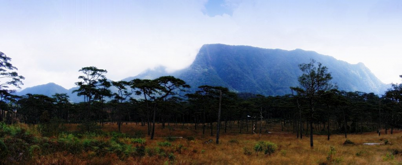
Photo: peakvisor 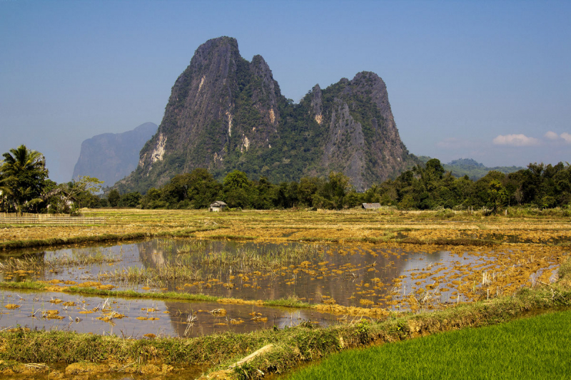
Photo: wikimediacommons


