


Top 7 Highest Mountains In Morocco

Morocco is a country characterized by the Rif mountain range in the north and the Sahara Desert in the south, with craggy peaks and countless routes. The ... read more...highest peaks in this North African country offer some of the most breathtaking vistas in the world, making the effort to get there well worth it. Here are Morocco's seven tallest mountains, all of which are waiting to be conquered!
-
Mount Toubkal, which is 4,167 meters tall and towers over the Atlas Mountains in southwestern Morocco, is the country's highest peak. Toubkal is the Arab world's tallest mountain, and as a prominent peak (about 1,500 meters), it is one of the most thrilling in the world.Hikers commonly stay in Marrakech, Morocco's second largest city, which is only 63 kilometers north of the mountain. Toubkal is reached via the settlement of Imlil, where you can hire optional guides and porters. Hikers begin by going through the scenic village of Aroumd, east through a floodplain to the little settlement of Sidi Chamarouch, and then continuing up the moderate grade to either Neltner Refuge or Refuge du Toubkal, where they will basecamp. The height declines as the stony trail ascends the mountain, and in the winter, snow and ice fields cover the mountain, with the option to ski part of the way down on the descent.
Location: Toubkal National Park
Elevation: 4,167 m
Parent range: Atlas Mountains
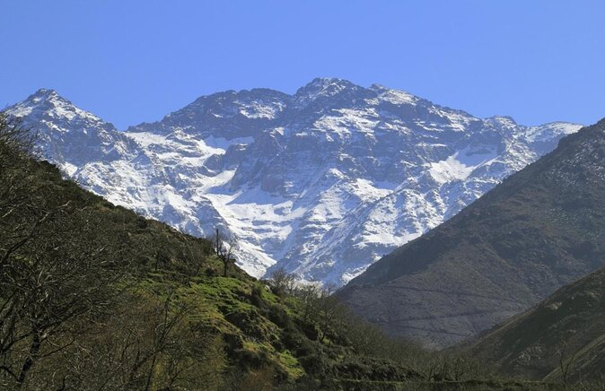
Photo source: Viator 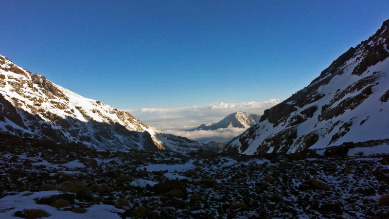
Photo source: G Adventures -
Jebel Yagour is located near Marrakech in the High Atlas mountain range. The high plateau is 2,700 meters high and bordered by towering cliffs and steep slopes, making the trip into the clouds above Morocco a true test of endurance for anyone prepared to take on the challenge.
Not only are the natural surroundings of Jebel Yagour breathtaking, with various vistas over the country around every turn, but the mountain is also known for hundreds of rock and cave drawings dating back to 1,000 BC, which document the region's history. You will actually be following in the footsteps of thousands of traders hiking across the mountains to the bustling souqs in the north as you follow the dusty trail from the mountain's base. Marrakech, as with all walks in this part of Morocco, is an excellent starting point.
Location: the south of Marrakesh
Elevation: 2,700 m
Parent range: Atlas Mountains
Photo source: Heroes Of Adventure 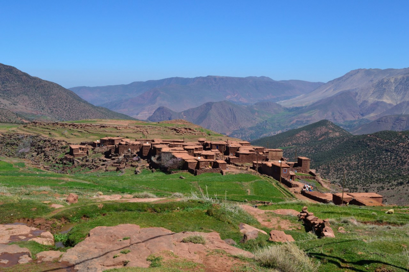
Photo source: Parfume Berbere -
The high top of the Ouaougoulzat mountain, which stands at 3,729 meters, is part of the Mgoun Range (called after the Mgoun Mountain) and leads to the Lac Izoughar ski slopes in the winter. At the base of Ouaougoulzat, near the ski slopes, there are a number of locally run gites. The reflections of the towering mountains in a lake at 2,526 meters above sea level are remarkable in the spring and summer.
It takes around 5 hours to climb to the pinnacle of the mountain from the base at Lac Izoughar, with some difficult areas blanketed in powdery dust. Mules and guides can be rented from Bou Guemez road in Azilal, near the base of Ouaougoulzat, although the hike will take two days from there. The vistas across the Mgoun Range's triple snow-capped summits are unrivaled, no matter where you start this climb.
Location: the Central High Atlas
Elevation: 3,763 m
Parent range: Atlas Mountains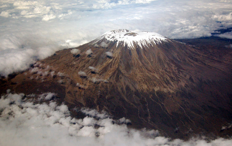
Photo source: Wikipedia 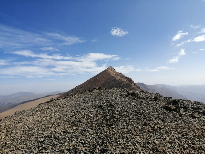
Photo source: Amouddou Travel Club -
The Atlas Mountains' second highest mountain, Ouanoukrim, is located to the south of Marrakesh. The mountain spans two summits, Timzguida (4,089 meters high) and Ras Ouanoukrim (4,083 meters high), reaching its maximum height of 4,089 meters. These two summits are also part of the Atlas Range's three highest peaks. There is no trace of any previous ascents on Ouanoukrim Mountain prior to the European climbers' ascent in 1924. The mountain is open to visitors all year and there are no permits or fees to pay. Because of the high temperatures, Ouanoukrim Mountain receives less visitors throughout the summer, especially on the southern side. For those visiting the area, Ouanoukrim also has a great camping spot.
The twin peaks of Ouanoukrim Mountain are one of the most difficult summits to climb, and some Alpine experience is advised before attempting to scale them. This mountain is a seemingly unending network of brown dust-coated crags and crannies just asking to be explored. The views from the peaks are of a cliff-lined landscape with amazing sun reflections in the steamy mists that float up from this section of Morocco.
Location: south of Marrakesh
Elevation: 4,089 m
Parent range: Atlas Mountains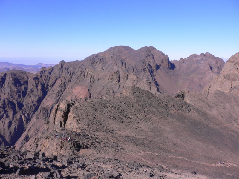
Photo source: much better adventures 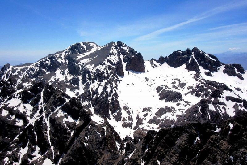
Photo source: TripAdvisor -
Mount Tidirhine (sometimes spelled Jbel Tidirhine) is located in Morocco's Al Hoceima Province, in the Tanger-Tetouan-Al Hoceima region. This is the highest of the Rif mountains, standing at 2,456 meters above sea level, and is home to several ancient Berber settlements that have existed here for centuries. It's a towering hill that rises above the village of Ketama, now known as Issaguen, in a region famed for the hospitality of the native Berbers and cannabis growing. It's 320 kilometers north of Morocco's geographic center and 232 kilometers northeast of Rabat, the Moroccan capital.
Another of Morocco's most famous peaks, most hikers begin their ascent from Rabat, the Moroccan capital. As the hiking trail ascends, the peak offers panoramic views of the Strait of Gibraltar and, on a clear day, the Spanish coast. This hike is ideal for those who want to get a taste of Morocco's peaks.
Location: Al Hoceïma Province
Elevation: 2,456 m
Parent range: Rif Range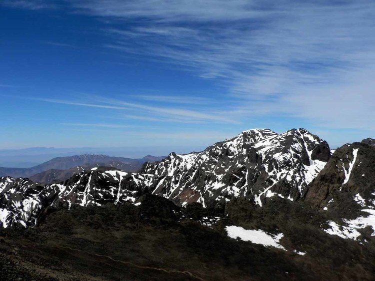
Photo source: Alchetron 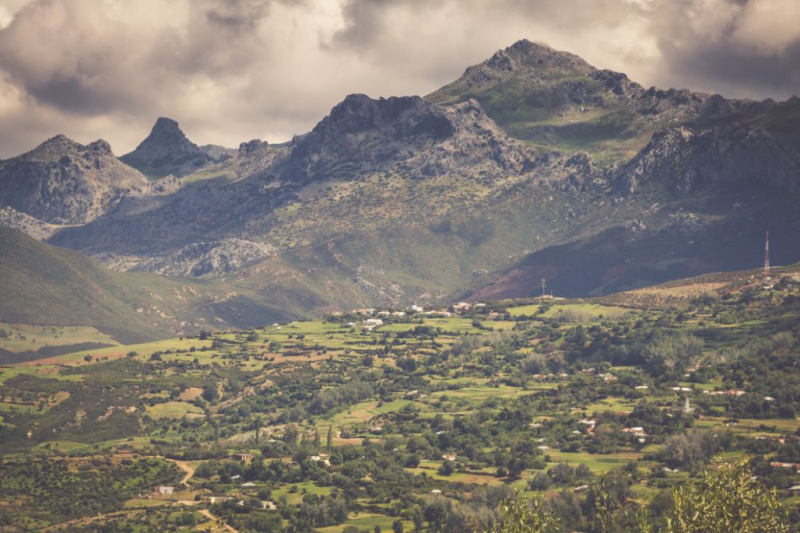
Photo source: much better adventures -
Jebel Ayachi (sometimes written Ayyachi) is a colossal mountain. Michael Peyron describes Ayyachi as "aloof and lofty." She is "a queen among Morocco's mountains," as she puts it. Jebel Ayachi, which stands at 3,757 meters, is home to a plethora of unique and exquisite birds. The mountain's lower slopes still include vestiges of beautiful cedar woods. Junipers survive, but few healthy cedars do, with dead standing trees standing obstinately upright, silver skeletons echoing a colder, wetter past. As one climbs, stunning cirques guard the northeastern aspects, revealing the delicate geologic folds created by the tectonic forces that drove these mountains higher. Snow can be found well into the summer. As it melts, the sheer expanse of shattered shingle rock that covers the unimpressive summit dome can feel more like a dull hill – nevertheless the views up top are spectacular.
The slopes are imprinted with a crosshatch of trails that centuries, and perhaps millennia of grazing herds and their shepherds have trod. These mountains are rich with the history of the Amazighien (the Free People). Zawiya Sidi Hamza, below the southern slopes has been the seat of the Hamzawin holy men for half a millennium, one of whom is the massifs name sake – Bu Salim Ayyachi from the 17th century.Location: Morocco, North Africa, Africa
Elevation: 3,757 m
Parent range: Atlas Mountains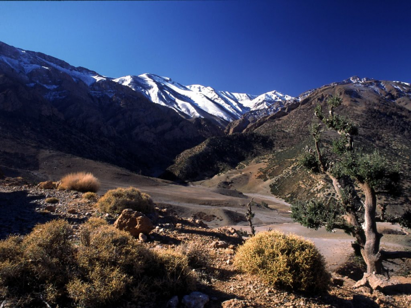
Photo source: Atlas And Sahara Tour 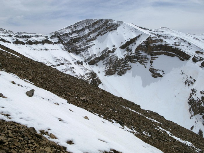
Photo source: Wikiloc -
The Atlas Range includes M'Goun as one of its peaks. M'Goun is the fourth highest mountain in this range, after Toubkal, Timzguida, and Ras Ouanoukrim, with an elevation of 13,356 feet. The M'Goun is an extremely noticeable peak in Morocco's Draa-Tafilalet area. Because of the river gorges and secluded Berber communities that surround it, the mountain is a popular hiking destination, and reaching the peak of this High Atlas rocky valley takes about 5 days.
Despite the mountain's lack of popularity with climbers, the Berber settlement, built with earth from the mountain, is a prominent tourist attraction. Tourists who visit the area may always rely on local Berber guides for assistance. The Berber guides are also able to communicate in a variety of languages and provide cookery services to visitors to the site. M'Goun also serves as a campground for both residents and visitors from other countries.
Rickety wooden bridges barely hold hikers as they cross fast-flowing rivers gushing down vertical cliffs, hiking trails are swamped by landslides, and donkeys wander freely across mountain ridges. The vistas of brown and grey mountains, patches of luscious green grass, and murky rivers and streams from the towering top give a lasting impression unlike any other.
Location: middle of the chain of the central High Atlas
Elevation: 4,071 m
Parent range: Atlas Mountains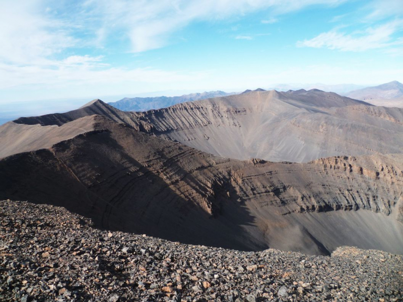
Photo source: much better adventures 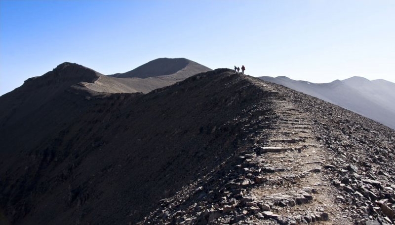
Photo source: Kasbah Itran


