Top 7 Highest Mountains in Slovenia
Slovakia is a nation with beautiful valleys and towering mountains. The mountains of Slovakia are distinguished by substantial height variations and ... read more...distinctive terrain. It has nine national parks and fourteen protected landscape areas. The High Tatras, Slovakia's tallest mountain range, is one of the most visited and exemplifies the solitary aspect of the typical Slovak Carpathian highlands. Things like the High Tatras, Bratislava, and other well-known landmarks sometimes go undetected.
-
Triglav, with a height of 2,863.65 meters (9,395.2 feet), is Slovenia's tallest mountain and the Julian Alps' highest peak. The mountain is the most recognizable emblem of the Slovene people. It is the centerpiece of Slovenia's sole national park, Triglav National Park. Prior to Slovenia's independence in 1991, Triglav was also the highest mountain in Yugoslavia.
Mount Triglav, nestled in the heart of the Julian Alps, is without a doubt Slovenia's most cherished mountain.
It is not just the highest point in the country, but it is also a potent national emblem. It's such a symbol of Slovenian identity that it's stated that every "genuine" Slovenian should stand atop Mount Triglav at least once in their lives.
Triglav is easily accessible from Slovenia's capital, Ljubljana. It takes less than two hours to go to Triglav National Park, the country's national park and home to the renowned mountain.
Elevation: 2,864 m (9,396 ft)
Prominence: 2,059 m (6,755 ft)
Isolation: 72.5 km (45.0 mi)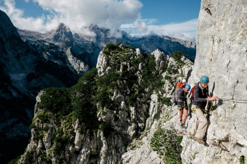
Source: Wikipedia.com 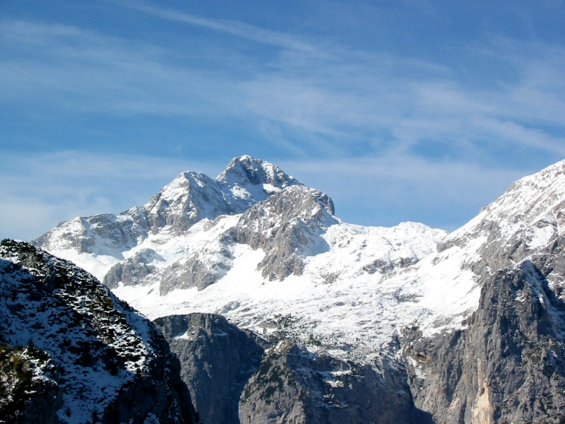
Source: explore-share.com -
Skrlatica, also known historically as Suhi plaz ("Dry Avalanche"), is a peak in Slovenia's Julian Alps. With a summit elevation of 2,740m above sea level, it is Slovenia's second-highest mountain (after Triglav at 2,864m) and the third-highest in the Julian Alps overall (after Triglav and Jôf di Montasio / Monta at 2,754m).
The mountain's name is derived from the feminine adjectival form of the Slovene word krlat, which is a cognate of "scarlet," and refers to the dramatic reddish-purple tint of the steep northern rockface in the crimson light of sunset. Suhi plaz is an alternative name for scree below Mount Spodnji Rokav.
Julius Kugy, accompanied by mountain guide Andrej Komac and hunter Matija Kravanja, accomplished the first recorded climb of Skrlatica from the southern side on August 24, 1880.
Elevation: 2,740 m (8,990 ft)
Prominence: 982 m (3,222 ft)
Isolation: 6 km (3.7 mi)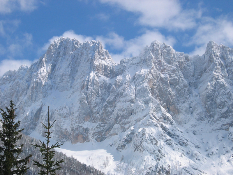
Source: Wikipedia.com 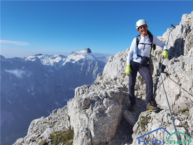
Source: hribi.net -
Mangart, sometimes known as Mangrt, is a peak in the Julian Alps at the boundary between Italy and Slovenia. It is Slovenia's third-highest mountain, behind Triglav and Sklatica, with an elevation of 2,679 meters (8,789 feet). Franz von Hohenwart, a naturalist, was the first to scale it in 1794. Mangart is also the name of the mountain range that connects the Koritnica and Mangart valleys, with Veliki Mangart as its highest point (Big Mount Mangart).
Take a road that will take you to a height of almost 2000 meters! Mt Mangart is our fourth tallest peak and, due to its easy access, is a favorite summer destination for hikers, mountaineers, and mountain bikers.
The route to Mangart, Slovenia's highest-lying road, will take you up to an elevation of almost 2000 meters. There are two mountain paths that may take you to the summit of Mt Mangart from there: the Slovenian and the Italian.
Elevation: 2,679 m (8,789 ft)
Prominence: 1,065 m (3,494 ft)
Isolation: 12.7 km (7.9 mi)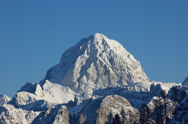
Source: Wikipedia.com 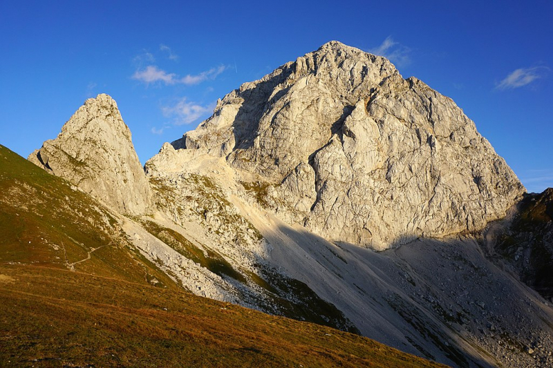
-
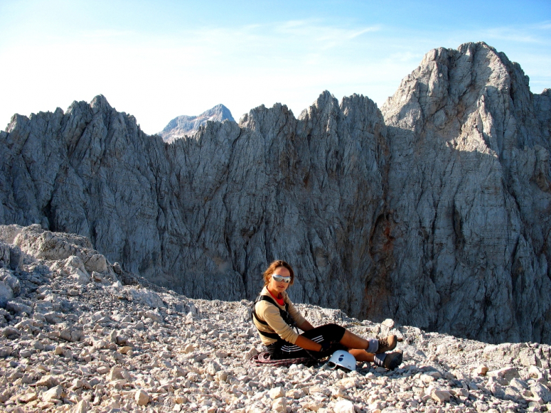
Visoki Rokav is a peak in northeastern Slovenia's Martuljek range of the Julian Alps. It is one of the highest mountain ranges mountains, standing at 2,646 meters.
The massif is a Triassic reef limestone platform rich in fossilized corals, fungus, sea lilies, and other marine creatures. The bedrock is quickly worn, making the ascent challenging. Furthermore, the massif is fully stepless in practice. It is 1850 meters to the peak from the best starting place in Dolina Vrata (Vrata Valley).
The Rokavi group is part of the Martuljek group and may be found near Skralatica mountain as a break in the main ridge of the Martuljek group. The whole Rokavi ridge is made up of Visoki Rokav (2646m), Srednji Rokav (2589m), Spodnji Rokav, and wooded Kalisce. The ridge's difficulty does not exceed II or III degree - not enough for true alpine, too much for walkers, and just right for romantic mountain lovers.
Source: gore-ljudje.si 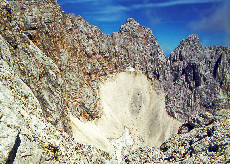
-
Mt Jalovec, the Slovenian mountaineering icon, is Slovenia's sixth highest peak. It looms above four picturesque valleys: Planica, Trenta, Bavica, and Koritnica. The summit, which rapidly slopes abruptly towards Alpine valleys, offers a stunning perspective of the Julian Alps' greatest peaks.
There is no simple way to climb Mt Jalovec. Because all paths up this mountain are challenging, lengthy, and hard, only experienced, well-equipped, and physically fit hikers should attempt to reach the summit. To put things in perspective, climbing Slovenia's greatest mountain, Mt Triglav, is easier than climbing Mt Jalovec. All valleys have marked pathways with many versions that lead up. The descent is gentler on the mountain's south side.
It is among the highest of them, but on the 'beauty scale,' it is undisputedly first, according to some. Jalovec is also known as Crystal Mountain because of its fabled form that rises over Tamar Valley.
Elevation: 2,645 m (8,678 ft)
Prominence: 511 m (1,677 ft)
Isolation: 2.74 km (1.70 mi)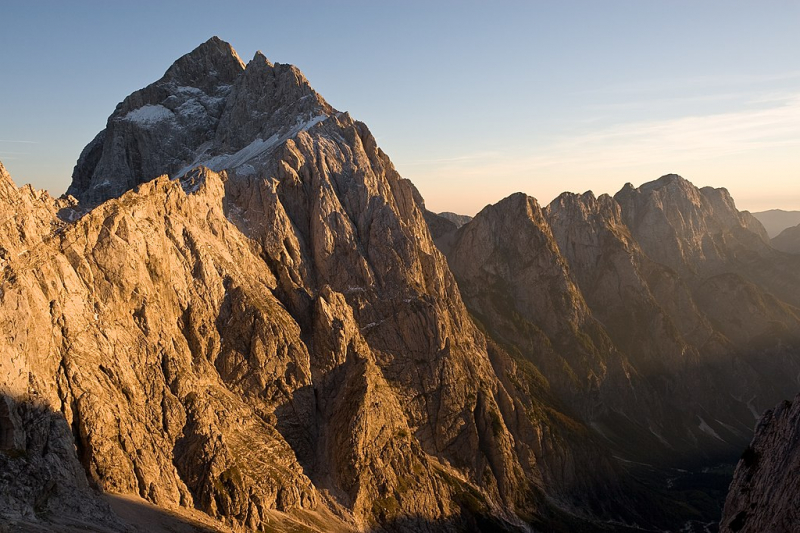
Source: Wikipedia.com 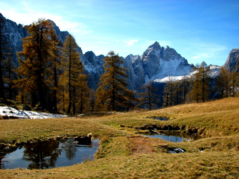
Source: Wikipedia.com -
Razor (2,601 meters or 8,533 feet) is a pyramidal mountain in the Julian Alps and Slovenia's sixth-highest peak. Otto Sendtner first ascended it in 1842, and it is today frequently ascended, with various mountain lodges accessible for climbers.
Razor is located in Slovenia's Julian Alps and is bounded to the east and west by the Luknja and Vri passes, and to the north and south by the Krnica and Trenta valleys. It connects Triglav and Jalovec, together with its neighboring peak Prisojnik. It is part of the Triglav National Park and, officially, is part of Kranjska Gora.
The mountain is in a limestone karst zone, with the Kri Plateau (Kriki podi) below it serving as an example. Erosion induced by ice, rivers, and precipitation has extensively impacted the terrain, resulting in numerous caves, sinkholes, and limestone pavements.
Razor is snow-covered from November to early June
Elevation: 2,601 m (8,533 ft)
Prominence: 332 m (1,089 ft)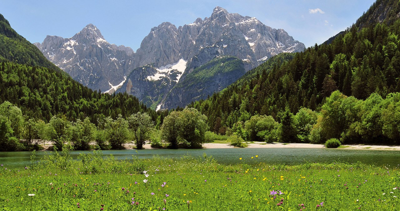
Source: Wikipedia.com 
Source: pinterest.com -
Kanjavec is a 2,569-metre (8,428-foot) peak in Triglav National Park's heart. It is situated between the Doli Pass (2,164 m), the Hribarice Pass (2,306 m), and the Prehodavci Pass (2071 m).
Kanjavec is a famous ski touring site as well. There is a panoramic view of the surrounding mountains from the peak. The ascent is very simple, with only a few exposed parts.
Mt. Kanjavec is Mt. Triglav's tallest southern 'neighbor' in the Julian Alps, and the views from the summit are just stunning. Kanjavec's most outstanding feature is its massive northern wall. It is, in fact, taller than Triglav's famed North Wall. Kanjavec's south-western slopes are ideal for base climbs and hard alpinistic ski trips. The southern slopes of Kanjavec are endless, but only moderately steep. Velska dolina (valley) is located east of Kanjavec. There are lovely alpine meadows, which were previously pastures.
Elevation: 2,569 m (8,428 ft)
Prominence: 438 m (1,437 ft)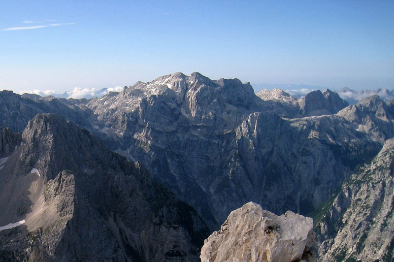
Source: Wikipedia.com 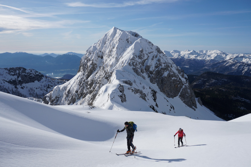
Source: primozblaha.blog


