Top 4 Highest Mountains in Vanuatu
Vanuatu is a country in the southwest Pacific Ocean made up of a chain of 13 major and numerous minor islands located about 500 miles (800 kilometers) west of ... read more...Fiji and 1,100 miles (1,770 kilometers) east of Australia. The islands have a wide range of topography, from rocky mountains and high plateaus to undulating hills and low plateaus, with coastal terraces and offshore coral reefs. The predominant rock types include sedimentary and coral limestones, as well as volcanic rock; frequent earthquakes suggest structural instability. Séré'ama on Vanua Lava, Manaro on Aoba, Garet on Santa Maria, the twin volcanic vents of Benbow and Marum on Ambrym, and Yasur on Tanna are among the active volcanoes. There are also several undersea volcanoes in the group, as well as solfataras and fumaroles on some of the islands. Tabwémasana, at 6,165 feet (1,879 meters), is the highest mountain in Vanuatu. The top 4 highest mountains in Vanuatu listed below will help you understand this country more deeply
-
Mount Tabwemasana is Vanuatu's tallest peak and one of the highest mountains in Vanuatu. Tabwemasana, at 1,879 meters (6,165 feet), soars over the surrounding mountains and offers spectacular views of the Coral Sea to the east. Located on the island of Espiritu Santo's remote west shore. Mount Tabwemasana is really made up of two summits, and local tradition holds that these two peaks (male and female) hug each other at night.
Until the 1970s, Kerepua was located on the slopes of Tabwemasana, a full day's walk through dense jungle to the ocean. However, like many other mountain towns, Kerepua was evacuated to the shore in the late 1970s and now serves as a launching pad for any summit attempt.
Each year, just a few tourists climb Tabwemasana, with less than six people reaching the peak on average. This is largely owing to the mountain's remote location and the physical challenge of approaching the top. Those who want to climb Tabwemasana must first take a boat from Tasiriki to Kerepua. You climb up a river from Kerepua before leaving the valley for a difficult journey up the mountain. Because the trail is difficult to follow, guides are necessary.
Height: 1,879 m (6,165 ft)
Location: Espiritu Santo, Vanuatu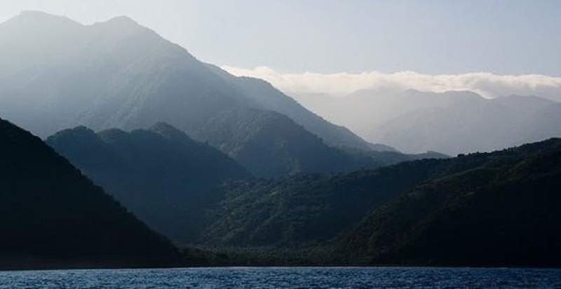
addflag.com 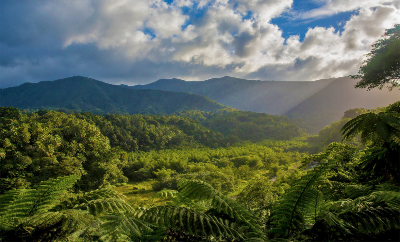
seal-superyachts.com -
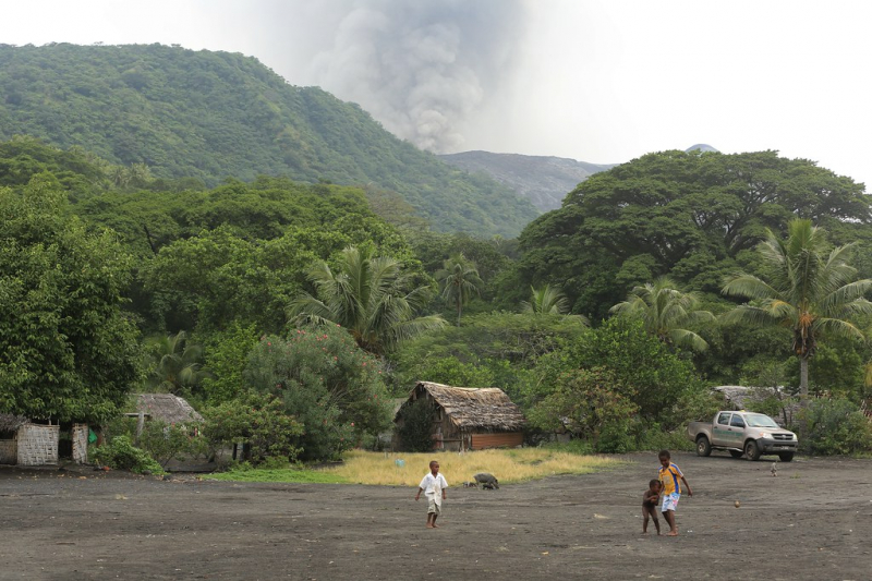
Mount Tukosmera is one of the highest mountains in Vanuatu. It is situated in the island's southern hemisphere. Unlike Mount Yasur, it was a volcano during the Pleistocene epoch but is no longer active. For followers of the John Frum movement, the mountain holds special religious significance as a place from which gods emerge.
Because Tukosmera is a mountain of religious significance, it is considered one of the holiest places for religious believers, who believe that it is a place where the gods often come.
Height: 1.084 m
Location: Tafea, Vanuatu, Melanesia, Oceania
flickr.com 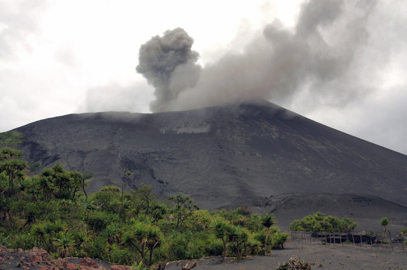
tripadvisor.com -
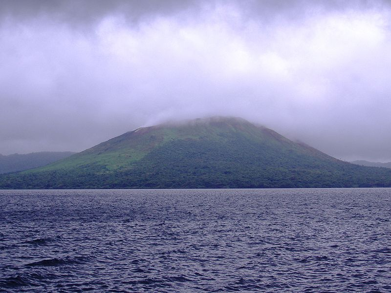
Mount Gharat or Mount Garet (797 m), a somma volcano, is the highest peak on the volcanic island of Gaua in northern Vanuatu's Banks Islands. The peak is located in the center of the island, is volcanically active, and is surrounded on all sides except the southwest by Lake Letas. Mount Gharat is one of the highest mountains in Vanuatu.
Depending on which of the local languages is used, the volcano has slightly different names. Garet [aart] in Nume, Grt [rat] in Dorig, Gerät [rat] in Koro, and Gäräs [rs] in Lakon are all names for it. The spelling Gharat, which appears on maps from time to time, is an attempt to transcribe Mota Garat [arat]. All of these names are derived from the Proto-Torres-Banks form *arati, whose literal meaning is "itching, burning," possibly in reference to the volcano's toxic fumes.
Height: 797 m (2,615 ft)
Location: Gaua, Banks Islands, Vanuatu
tripadvisor.com 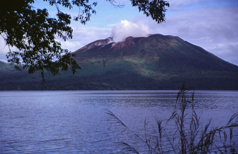
volcano.si.edu -
One of the highest mountains in Vanuatu is Mount Yasur. The mountain is a volcano on Tanna Island, Vanuatu, 361 meters (1,184 feet) above sea level, located on the coast near Sulphur Bay, northeast of the taller Mount Tukosmera, which was active during the Pleistocene epoch. It has a largely unvegetated pyroclastic cone with a 400-meter-diameter summit crater. It is a stratovolcano formed by the subduction of the eastward-moving Indo-Australian Plate beneath the westward-moving Pacific Plate. It has been erupting nearly continuously for several hundred years, but it is usually safe to approach. Its eruptions are classified as Strombolian or Vulcanian, and they occur several times per hour. At the valley's bottom, a large lava plain creeps across it.
The glow of the volcano was apparently what drew Captain James Cook to the island on his first European visit in 1774. The mountain is now a sacred site for the John Frum cargo cult. Members of the cult worship John Frum, a deified messenger who foretold the arrival of American forces on the island, and believe he resides in Mount Yasur with his countrymen. The village of Sulphur Bay, the movement's epicenter, claims ownership of the volcano.
Height: 361 m (1,184 ft)
Location: Tanna, Vanuatu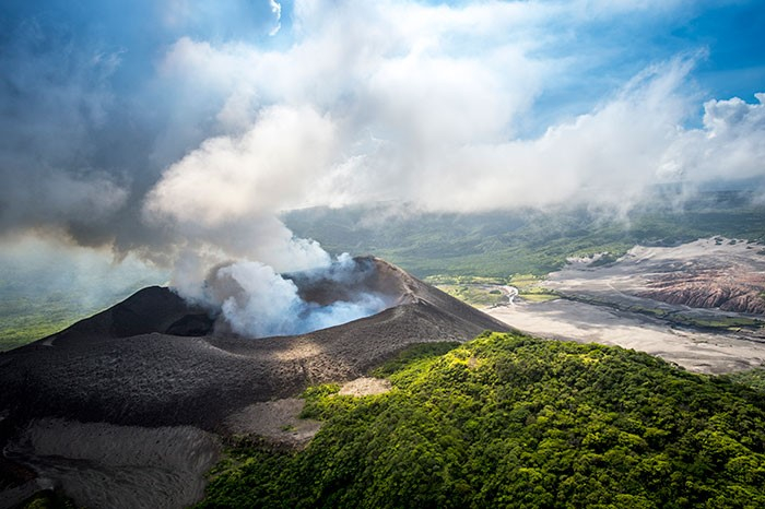
addflag.com 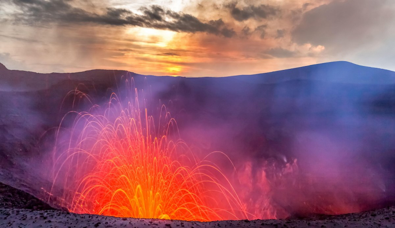
tripadvisor.com


