


Top 5 Highest Mountains In Zimbabwe

Zimbabwe, officially the Republic of Zimbabwe, is a landlocked country in Southeast Africa that lies between the Zambezi and Limpopo Rivers and is bordered in ... read more...the south by South Africa, the south-west by Botswana, the north by Zambia, and the east by Mozambique. Here are some tallest mountains in Zimbabwe.
-
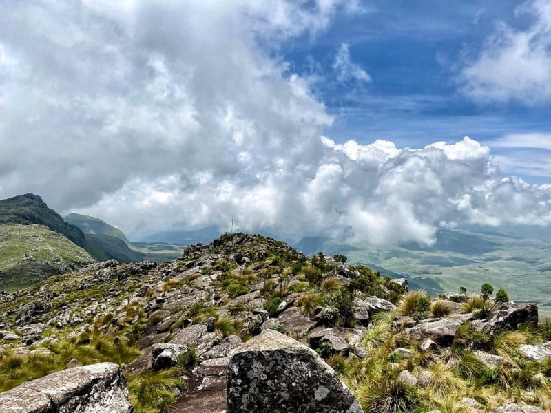
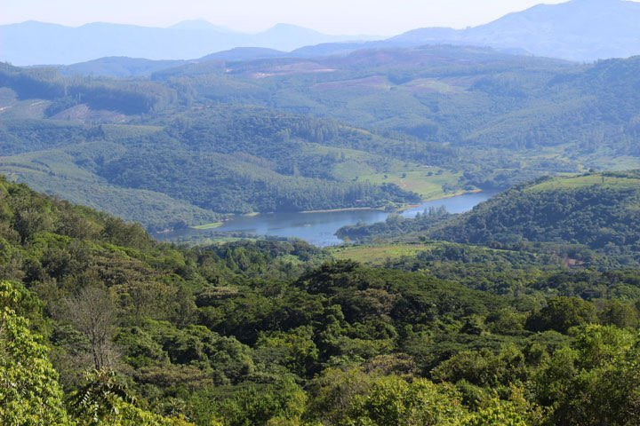
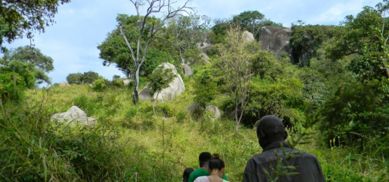
Mount Nyangani (originally Mount Inyangani) is Zimbabwe's highest peak, standing at 2,592 meters (8,504 ft). The peak is located within Nyanga National Park in Nyanga District, approximately 110 kilometers (68 miles) north of Mutare. The peak is perched on a small protrusion of granite about 40 meters above the surrounding region. The remainder of the mountain is a large moor of mostly rolling hills and plateaus covering around 8 km2. The plateau's margins then drop steeply to the east and west. The vegetation on the mountain is mostly heath around the summit plateau, with evergreen forest on the wetter eastern slopes and grassland on the western side.
The mountain is made up of an upper sill of dolerite and sandstone, with cliffs and ridges formed by the harder dolerite. The dolerite sill and the sediments beneath it are most likely part of the Umkondo Group. The Umkondo Group dolerite sill on the Kwaraguza Road north of Nyangani has been dated to 1099.
Location: Zimbabwe
Elevation: 2,592 m (8,504 ft)
ruchistrips.com 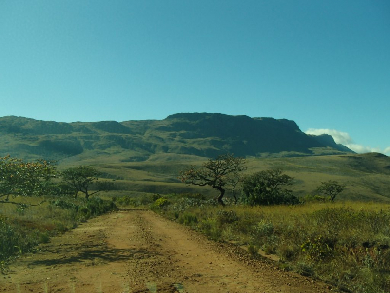
ruchistrips.com -
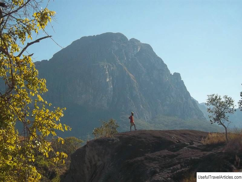
Monte Binga is Mozambique's highest peak and Zimbabwe's second-highest peak. It is located in Manica Province in the Chimanimani Mountains, on the border between Zimbabwe and Mozambique, in the Chimanimani Transfrontier Park. It rises 8004 feet (2440 meters) above sea level.
The mountain is made of exceptionally hard pale grey Precambrian quartzite, which underpins the entire Chimanimani Plateau, and has a bleak stony look. The north-south quartzite bedding is upturned towards the top of an angle of about 40 degrees and dips to the east, with the mountain's foot and the Turret Towers range lying immediately to the south on a thrust fault. As a result, the eastern approach is gentler, but the western slope is steep to sheer in parts. The northern face is broken off by a fault and is sheer towards the top before descending to a vertical cliff. Approaching Skeleton Pass from the west, from the Bundi River Valley, there is an ill-defined track that forks off from the main smuggler's trail.
Location: Zimbabwe
Elevation: 2,439.6 m (8,004 ft)
usefultravelarticles.com 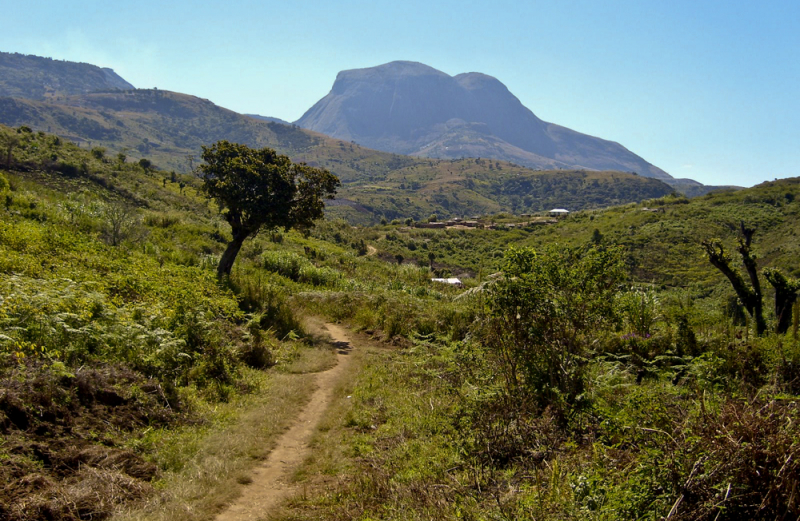
traildino.com -
The Bvumba Mountains, also known as the Vumba Mountains, are located 10 kilometers south of Mutare on the Zimbabwe-Mozambique border. The Bvumba Mountains, which climb to 1,911 meters at Castle Beacon, are part of the Eastern Highlands of Manicaland and neighboring Manica provinces, together with the Chimanimani Mountains to the south and the Nyanga Mountains to the north.
The Bvumba Mountains, which comprise the eastern edge of the Zimbabwe Craton, are mostly made up of granite. The Vumba granite is around 2,600 million years old. In spots, Umkondo dolerite sills[6] intrude on the granites, which are dated to around 1,110 Ma.
The "Mountains of the Mist" (Bvumba is the Shona word for "mist") are so named because there is often a mist in the early morning that clears by mid-morning. The mountains reach north-eastward to Mount Vumba (or Monte Vumba) in Mozambique, despite being primarily within Zimbabwe. Cool, green hills rise above them, sheltering country hotels, a casino and golf course at the Leopard Rock Hotel, and a Botanical Garden with one of Africa's greatest views. Coffee plantations can also be found in the mountains.
Location: Zimbabwe - Mozambique
Elevation: 1,911 m (6,270 ft)
twitter.com 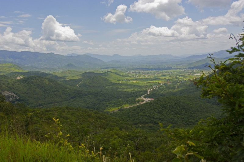
memim.com -
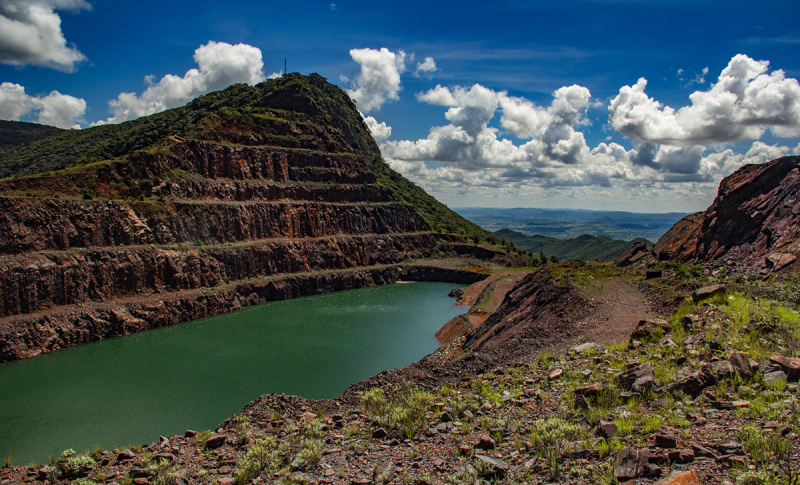
Mount Buchwa is a mountain range with a crescent shape. It rises sharply from a mostly dry plateau of 900-1000 meters to 1627 meters at its highest point. The rocks contain large amounts of iron ore, and areas of the mountain were actively mined until around 2001 when the operations became unprofitable. The significant altitude difference between this isolated mountain and the generally dry surrounding low-veld generates much higher rainfall and regular mists on the higher slopes and peaks, resulting in a higher diversity with the presence of interesting plant species that would otherwise be restricted to the Eastern Highlands' high rainfall areas. Dry Acacia woodland near the base, miombo woodland on the slopes, rocky regions, some submontane grassland, and evergreen wooded sections with Eastern Highlands flora impact make up the habitat of Buchwa.
The solitary Mt Buchwa, which rises 1000 meters above the surrounding countryside, has to be one of Zimbabwe's most strange locales. Huge vehicles must have once plowed up and down the steep, narrow route, which is still passable but only barely. There used to be a mine at the summit of this terrifyingly steep mountain. Old mining towers may still be seen, and the main shaft has now filled with water, forming a vast lake near the top. The old tunnel, which runs through the top ridge, resembles a massive eye peering blankly into the abyss.
Location: Zimbabwe
Elevation: 1,627 m ( 5,337 ft)
zimbabweflora.co.zw 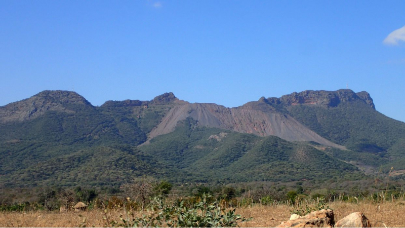
mindat.org -
Guruguru Mountain is a solid dome-shaped volcanic mountain near Pakame Mission in Shurugwi, Zimbabwe. Its Shona name, Guruguru, and its Ndebele name, Nkulunkulu, both mean "the biggest." It is by far the highest mountain in Zimbabwe's Midlands Province and the Shurugwi Rural Areas.
Guruguru is a solid rock mountain produced when lava was pushed up through a central core during a volcanic eruption. It has a three-kilometer radius and a height of more than 500 meters. At the summit, there is a spring of water. Except near the base, the mountain has little flora.
Locals regard it as a powerful symbol; some worshippers visit the mountain to pray, and there is also a local church that baptizes its members in the spring water. Certain people are said to be able to consult their ancestors on the mountain, according to legend.
For many years, RRAF cadet pilots climbed it to paint their course number on the summit. Each course had to paint twice the size of the previous course's number, according to custom. They could be read from kilometers away for many years. Chief Mpakami has jurisdiction over it.Location: Shurugwi, Zimbabwe
Elevation: 1,331m (4,367 ft)
junglesafarisuganda.com 
dreamstime.com


