Top 4 Longest Rivers in Mongolia
Mongolia is an East Asian sovereign state. Mongolia is home to around 4,000 rivers. The Northern Arctic Basin, which is located in northern and central ... read more...Mongolia, is home to several of the country's biggest rivers. The majority of the rivers are seasonal, with enormous discharge during the summer when the snow melts and the rainfall increases. During the winter, most rivers freeze and some even serve as highways. Rivers in the east drain into the Pacific, whereas rivers in the south and west drain into lakes. The Orkhon River is Mongolia's longest river. The Longest Rivers in Mongolia are listed below.
-
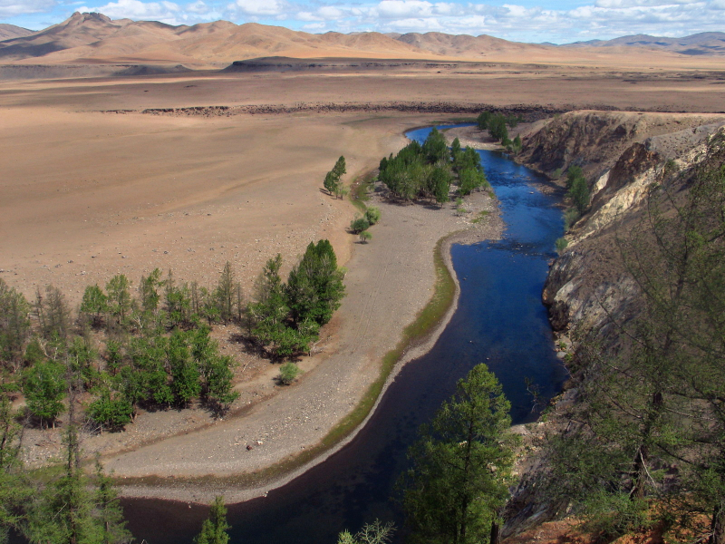
The Orkhon River is the Longest River in Mongolia that travels 698 miles from its headwaters in the Khangai Mountains to its mouth at the Selenga River, which flows north to Russia's Lake Baikal. It rises in the Khangai Mountains in Arkhangai aimag's Tsenkher sum, at the foot of the Suvraga Khairkhan peak. It then crosses the border into vörkhangai aimag and travels east through the upper Orkhon valley until it reaches Kharkhorin. The Ulaan Tsutgalan river contains a waterfall ten meters (33 feet) wide and twenty meters (66 feet) high on this length, quite near the Orkhon, which is a major tourist attraction.
It runs north from Kharkhorin till it reaches Bulgan aimag, then east to join the Selenge River in Sükhbaatar city in Selenge aimag, close to the Russian border. The Selenge then flows farther north into Russia, eventually reaching Lake Baikal. The Orkhon is the longest river in Mongolia, stretching 1,124 kilometers (698 miles) and surpassing the Selenge. The Tuul River and Tamir River are major tributaries of the Orkhon River. Along the river valley, there are two sets of old ruins: Khar Balgas, the ancient capital of the Uyghur Kingdom, and the Karakorum, the ancient capital of the Mongol Empire. Pyotr Kuzmich Kozlov unearthed a number of Xiongnu Imperial tombs in the river valley.Length: 1,124 km
flickr.com 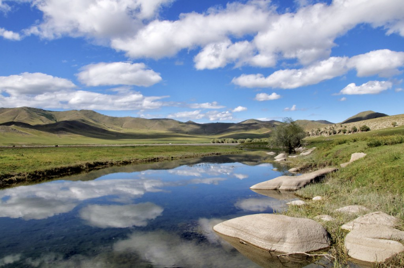
flickr.com -
The Kherlen River, also known as the Kerulen, originates on the southern slopes of the Khentii Mountains, near Burkhan Khaldun Mountain, within the Khan Khentii Strictly Protected Area. The river travels east through Khentii Province before traversing the eastern Mongolian steppe and entering China. The river runs 677 miles from its headwaters to its mouth at Hulun Lake, which is located in China's Inner Mongolia area.
The river begins on the south slopes of the Khentii mountains, near the Burkhan Khaldun peak, in the Khan Khentii Strictly Protected Area, approximately 180 kilometers or 112 miles northeast of Ulaanbaatar. This area is known as the "Three River Basins" because it separates the Arctic (Tuul River) and Pacific (Kherlen, Onon) basins. The Kherlen runs largely eastward via the Khentii aimag from there. It continues across the eastern Mongolian steppe, passing through Ulaan Ereg and Choibalsan before entering China at 48°3′N 115°36′E and draining into Hulun Nuur after another 164 kilometers or 102 miles.
Length: 1,090 km
pxfuel.com 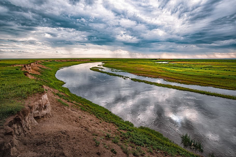
pxfuel.com -
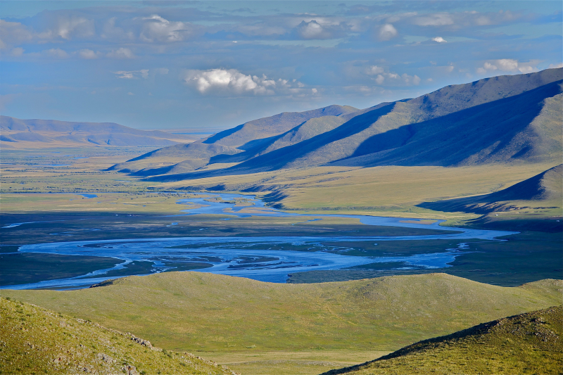
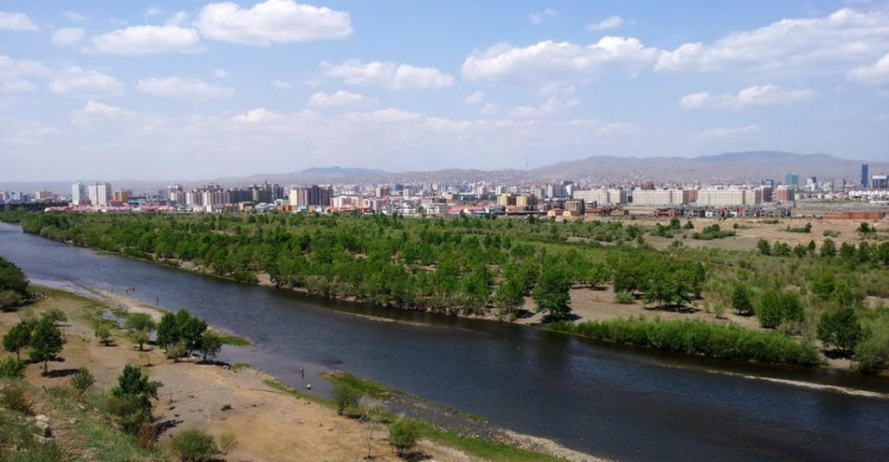
The Tuul River is one of the Longest Rivers in Mongolia and runs 437 kilometers from its headwaters in the Khan Khentii Strictly Protected Area to its mouth on the Orkhon River. The river is revered by the Mongols, who refer to it as the Khatan (Queen) Tuul. In addition, Wang Khan's palace was positioned along the riverfront. The river passes through the southern outskirts of Mongolia's capital, Ulaanbaatar, before emptying into the Orkhon River, which drains into the Selenga River. The Tuul River is one of the few rivers in Mongolia that supports the endangered sturgeon.
The river flows through the Khan Khentii Strictly Protected Area in the Khentii Mountains, in the Erdene sum of Töv aimag. It then proceeds southwest till it enters Ulaanbaatar's territory. Its water flows past the southern section of Mongolia's capital city, then in vast loops westward. When it reaches the boundary of Bulgan aimag, it turns north and follows that border. It flows into the Orkhon River at the sum center of Orkhontuul sum after entering Selenge aimag.
The Orkhon River empties into the Selenge River, which then empties into Russia and Lake Baikal. The Tuul River runs through the Khustain Nuruu National Park. From the middle of November until the middle of April, it is usually frozen over. Along the Tuul River, willow woods thrive, while the river itself is home to endangered sturgeon species. The river is now polluted, with some of it produced by Ulaanbaatar's central sewage treatment plant, as well as heavy mineral and sedimentation pollution from gold mining in the Zaamar region. Furthermore, the constant influx of people dwelling along the river may be degrading water quality.
Length: 704 km
mongolia-guide.com 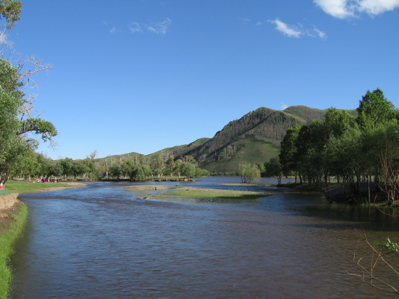
mongolia-guide.com -
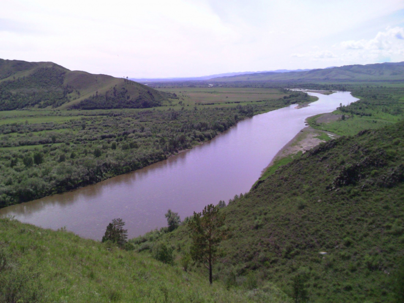
The Selenga, sometimes known as the Selenge, is a significant river in Mongolia and Buryatia, Russia. It runs for 992–1,024 kilometers (616–636 miles) before pouring into Lake Baikal from its headwater tributaries, the Ider and the Delger mörön. As a result, the Selenga is the most remote headwaters of the Yenisey-Angara river system. It carries 935 cubic meters per second of water into Lake Baikal, accounting for about half of the riverine inflow, and forms a 680 square kilometer (260 square miles) delta when it reaches the lake. The Selenga River is known for its yearly floods. Based on their severity, floods are categorized as "ordinary," "big," or "catastrophic." Three of the twenty-six reported floods between 1730 and 1900 were "catastrophic." The floods of 1830, 1869, and 1897 were the three "catastrophic" floods.
The Selenga River delta, which is bordered by marshlands, is a Ramsar site. The wetlands, which are located in the administrative zone of the Republic of Buryatia, are home to a great variety of vulnerable and unique species, including the Siberian Baikal sturgeon and over 170 bird species. The Selenge-Orkhon forest-steppe encompasses the Orkhon and Selenge river basins. The area is covered in woods and contains huge mountain ranges.
Length: 593 km
taylrrenee.com 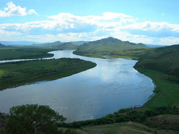
taylrrenee.com


