Top 3 Longest Rivers in Suriname

Suriname has seven significant rivers that flow into the Atlantic Ocean. The largest are the Marowijne and Corantijn rivers, which constitute the country's ... read more...eastern and western boundaries, respectively. These two rivers run north and drain over 58% of the nation. The Coppename and Suriname rivers also travel northward, draining around 24 percent of the nation. The Nickerie, Saramacca, and Commewijne rivers are the smallest, draining 16% of the nation. Suriname's rivers discharge around 4,800 m3/s (756 mm/year) of freshwater into the Atlantic Ocean on average. In the coastal area, the main rivers are tidal and include brackish water. The Longest Rivers in Suriname are listed below.
-
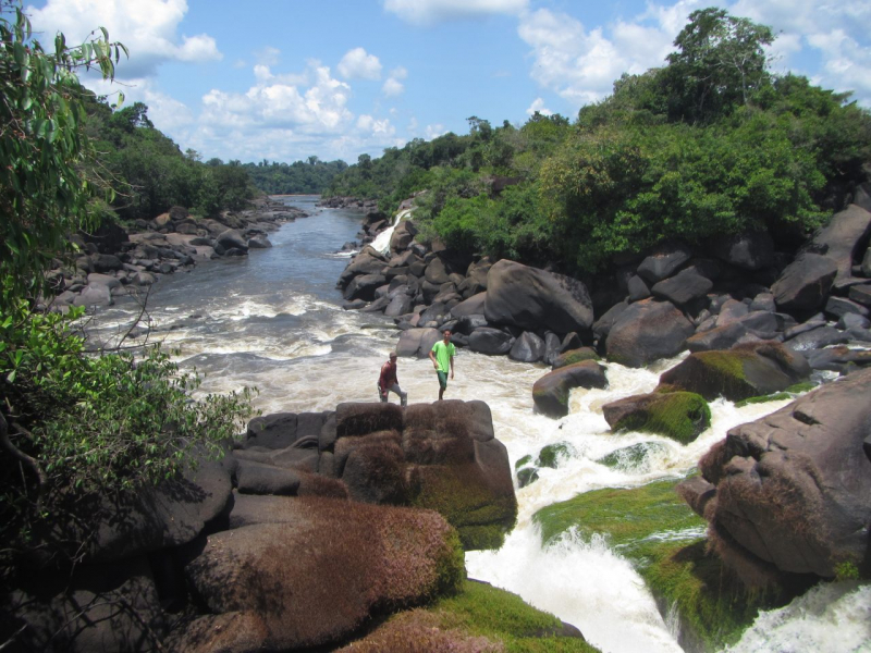
The Courantyne/Corentyne/Corantijn River flows through Suriname and Guyana in northern South America. It is the Longest River in Suriname, forming the border between Suriname and Guyana's East Berbice-Corentyne area. Kutari River, Coeroeni River, New River, and Zombie Creek are among its tributaries. The Guianan wet woods ecoregion is traversed by the river. It rises in the Acarai Mountains and travels northward via the Boven (Upper) Courantyne, the source river for roughly 724 kilometers (450 miles) between Guyana and Suriname, until emptying into the Atlantic Ocean in Corriverton, Guyana, and Nieuw Nickerie, Suriname. Between these two towns, a ferry service exists. The Courantyne River is home to the Wonotobo Falls, Frederik Willem IV (Anora) Falls, and King Edward VI Falls. Barrington Brown Falls, Drios Falls, and Maopityan Falls are among the other waterfalls.
The Tigri Area is located between the upper reaches of the Courantyne, Upper Courantyne, Coeroeni, and Koetari rivers, and is claimed by both Suriname and Guyana. The Guyanese–Surinamese boundary is the Guyanese river bank (the west bank of the river). Suriname considers the left bank of the Courantyne to be a border, however, Guyana disputes this and considers the center of the river to be a border, citing the Thalweg Doctrine. This issue, which has raged since the colonial era, was resolved in 2007 by a Hague Arbitration Court ruling that established the boundary between Guyana and Suriname on the left side of the river, as well as the river water body belonging to Suriname.
Length: 724 km
surinameholidays.nl 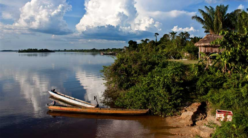
surinameholidays.nl -
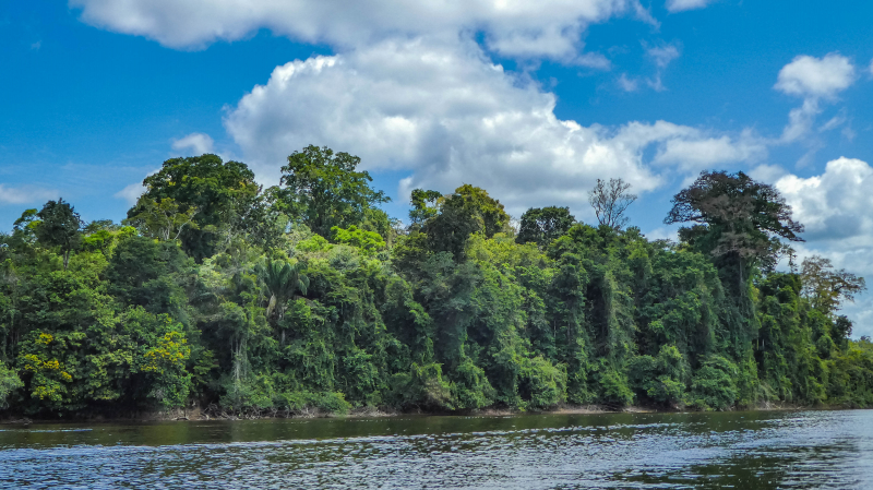
The Maroni, sometimes known as the Marowijne, is a river in South America that separates French Guiana and Suriname and is one of the Longest Rivers in Suriname. The Guianan wet woods ecoregion is traversed by the Maroni. It rises in the Tumuk Humak Mountains and constitutes the (disputed) boundary between France (French Guiana area) and Suriname. It is also known as the Lawa in its higher reaches and the Litani at its source. Litani, Lawa, and Maroni are 612 kilometers long in all (380 mi). Two natural preserves are located near the settlement of Galibi in the estuary region on the Surinamese side of the river. They preserve the birds as well as the leatherback sea turtles that nest there.
The Maroni is the most thoroughly researched river in Suriname. Ships exploring the estuary in the 16th century included Lawrence Keymis, Thomas Masham, Antonio de Berrio, and Adriaen Cabeliau, and in the 17th century, Harcourt, Fisher, and De Vries. More comprehensive explorations were made in the 18th century by Mentell, Patris, Le Blond, and Heneman, and in the 19th century by Zegelaar, Jules Crevaux, Coudreau, Ten Kate, Joost, and others. The Gonini and Tapanahony expeditions, as well as the Tumuk Humak and Southern Border Expeditions, were significant in the twentieth century. The Geologisch Mijnbouwkundige Dienst (GMD) and the Centraal Bureau voor Luchtkartering (CBL) conducted research as a result of these findings (CBL).
Length: 611,7 km
guyane-evasion.com 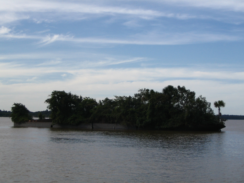
guyane-evasion.com -
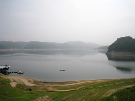
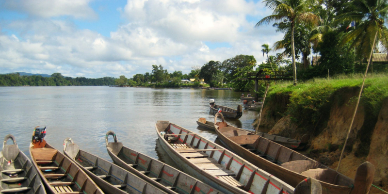
The Suriname River runs through the country of Suriname and is 480 kilometers long. Its headwaters are in the Guiana Highlands, near the Wilhelmina Mountains and the Eilerts de Haan Mountains (where it is known as the Gran Rio). The river travels beneath the reservoir through Brokopondo, Berg en Dal, the migrant villages Klaaskreek and Nieuw-Lombé, Jodensavanne, Carolina, Ornamibo, and Domburg before reaching the capital of Paramaribo on the left bank and Meerzorg on the right. It is joined by the Commewijne near Nieuw-Amsterdam and runs into the Atlantic Ocean shortly thereafter at the sandspit Braamspunt.
The river features multiple rapids and several dams, the greatest of which is the Afobaka Dam. The flow of the river is blocked by the Brokopondo Reservoir, which separates the river into two pieces. The upstream segment is nearly entirely through the Sipaliwini district, while the downstream section passes through the districts of Brokopondo, Para, Commewijne, Wanica, and Paramaribo. The Jules Wijdenbosch Bridge in Paramaribo was officially inaugurated in 2000 by President Jules Wijdenbosch, who commissioned the bridge's construction and is named after him. The bridge provides access to the country's east. A wooden bridge spans the river near Carolina, about 50 kilometers south of Paramaribo.
Length: 480 km
commons.wikimedia.org 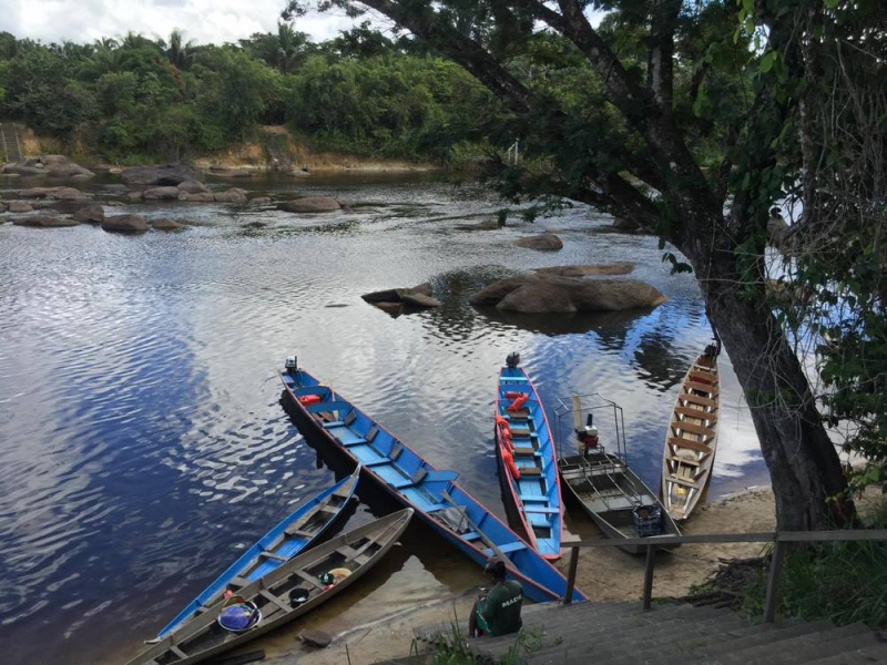
commons.wikimedia.org