Top 8 Longest Rivers in Iran

Iran has a wide network of rivers, the most of which start in the mountains and descend into central basins. Most Iranian rivers have a seasonal flow, are ... read more...short in length, and have a shallow depth. The Dez, Karkheh, Karun, Diyala, and Lower Zab rivers are five of Iran's largest rivers that flow into the Persian Gulf. Three rivers run into the Caspian Sea: the Aras, Sefid Rud, and Atrek. Two more, the Zayanderud and Aji Chay drain into smaller inland basins. The Longest Rivers in Iran are listed below.
-
The Aras (also spelled Araks, Arax, Araxes, or Araz) is a Caucasus river and is the Longest River in Iran. It begins in eastern Turkey and travels through the boundaries of Turkey and Armenia, Turkey and the Azerbaijani exclave of Nakhchivan, Iran and both Azerbaijan and Armenia, and eventually through Azerbaijan to the Kura River. It drains the south side of the Lesser Caucasus Mountains, whereas the Kura drains the north side. The river has a total length of 1,072 kilometers (666 miles) and a watershed area of 102,000 square kilometers (39,000 sq mi). The Aras is one of the Caucasus' longest rivers.
The Aras River begins near Erzurum, Turkey, and joins the Akhuryan River southeast of Digor. It flows from Digor along the Armenia–Turkey border and then near the corridor connecting Turkey to Azerbaijan's Nakhchivan exclave. It then follows the Iranian-Armenian and Iranian-Azerbaijan borders.
Total Length: 666 miles
adventure.ir -
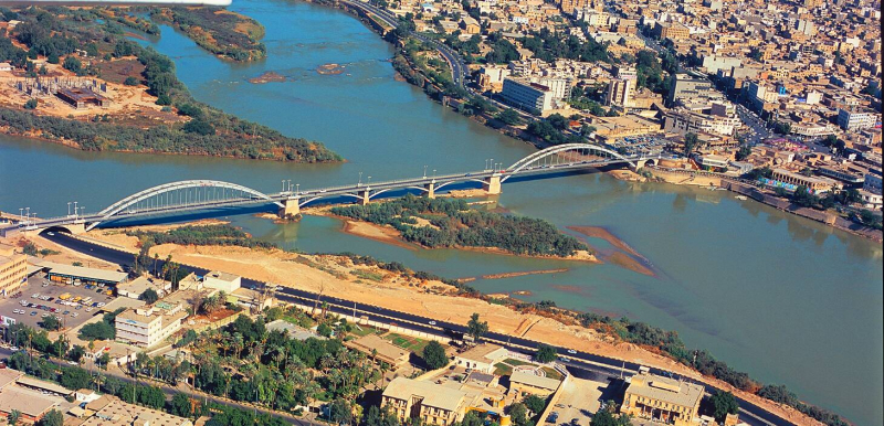
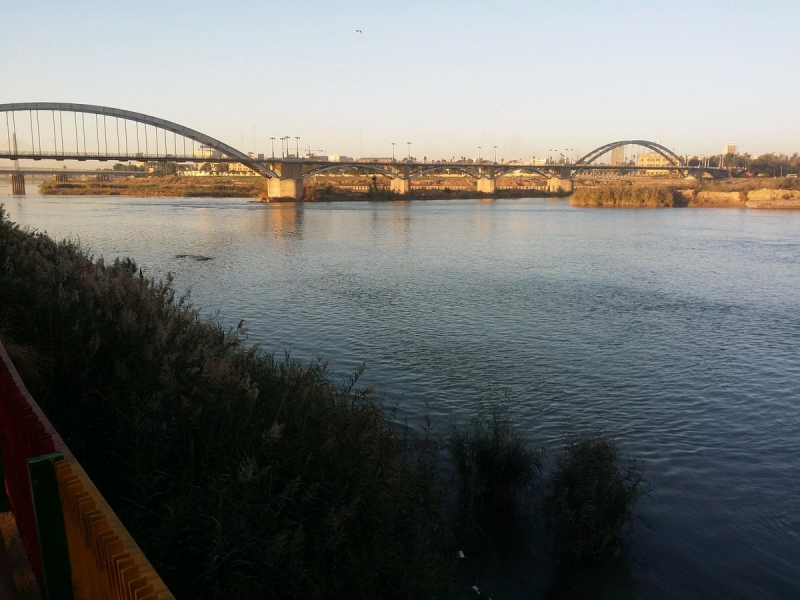
The Karun is Iran's highest-flowing river and the country's sole navigable river. It is 950 kilometers (590 miles) long. It rises in the Zard Kuh mountains of the Bakhtiari region in the Zagros Range, receiving various tributaries such as the Dez and the Kuhrang before going through the capital of Iran's Khuzestan Province, Ahvaz, before emptying into Arvand Rud (Shatt al-Arab).
The Karun continues into the Persian Gulf, splitting into two major branches on its delta, the Bahmanshir and the Haffar, which join the Arvand Rud and drain into the Persian Gulf. Between these two forks of the Karun sits the significant island of Abadan. The Haffar branch separates the port city of Khorramshahr from the island of Abadan. According to Juris Zarins and other scholars, the Karun is one of the four rivers of Eden, along with the Tigris, Euphrates, and either the Wadi Al-Batin or the Karkheh.
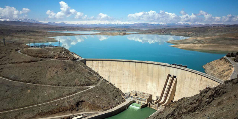
It is said to have originated in the Zagros Mountains of western Iran, on the slopes of Zard-Kuh (4,221 m/13,848 ft). The river travels south and west through numerous significant mountain ranges, receiving water from the Vanak on the south bank and the Bazoft on the north bank. These tributaries contribute to the river's catchment area above the Karun-4 Dam. The Karun expands into the reservoir constructed by the Karun-3 Dam 25 kilometers (16 miles) downstream.
Total Length: 590 miles
visitiran.ir 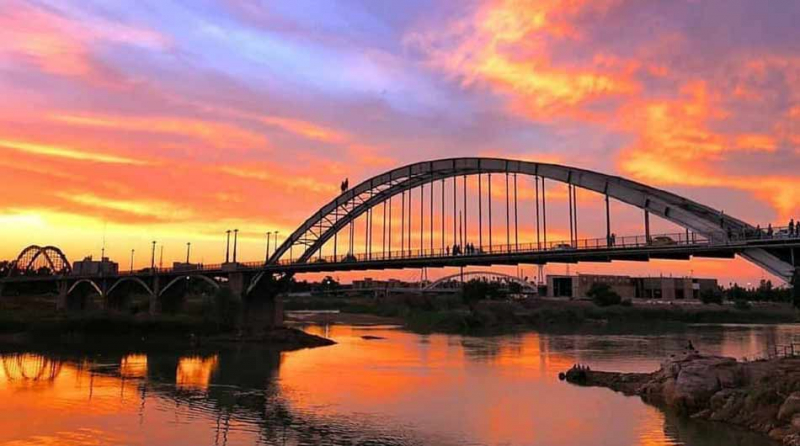
visitiran.ir -
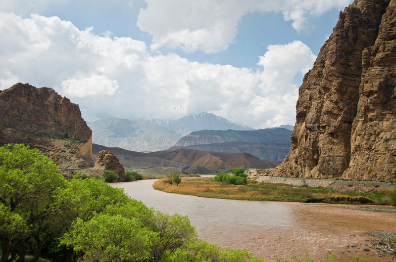
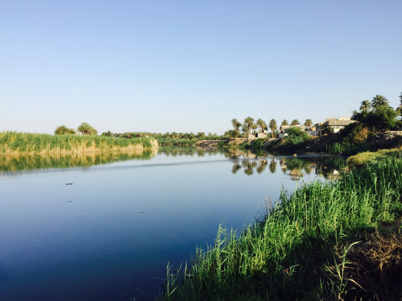
The Karkheh or Karkhen is a river in Khūzestān Province, Iran (ancient Susiana) that springs in the Zagros Mountains and flows west of Shush (ancient Susa), finally dropping into the Tigris near its confluence with the Euphrates. In current times, it turns southwest after passing within 16 kilometers (10 mi) of the Dez River, then northwest of Ahvaz, and is absorbed by the Hawizeh Marshes that straddle the Iran–Iraq border. Its unusually delicious water was revered by the Persian rulers. Because the Karkheh's bed has shifted through time, and a neighboring watercourse between the Karkheh and the Dez River, the Shaur, complicates the identification, ancient names for the Karkheh should be viewed as conjectural.
The difficulty with the old names is that, while the Karkheh runs a kilometer or two west of Susa, another large watercourse flows parallel to it a few kilometers east of Susa. When these rivers reach the flood stage, the waters of the two rivers mix and flood the whole area south of Susa. The Shaur, a stream a few kilometers east of Susa, runs east between the Haft Tepe and Shaur mountains into the Dez River, north of where the Dez and Karun rivers converge. The Karkheh may have joined the eastern end of the Shaur at some point in the past. The precise time of these modifications is unknown.
Total Length: 559 miles
livius.org -
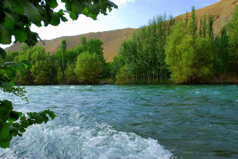
The Sefid-Rud (also known as the Sepid-Rud) is a river in northwestern Iran that rises in the Alborz mountain range and flows mainly northeast to meet the Caspian Sea near Rasht. The Sefid-Rud has carved the Manjil gap through the Alborz mountain range, trapping its two headwater tributaries, the Qizil Üzan and Shahrood rivers. The valley between the Talesh Hills and the main Alborz mountain is then widened. The gap serves as a vital link between Tehran and the Caspian lowlands of Gln Province. A number of transit and irrigation canals have been dug in the vast valley before the Sefid-Rud joins the Caspian Sea; the two largest are the Khomam and the Now.
The Sefidrud, like many rivers, has a variety of meanings. This river's aquatic biodiversity is as significant as its importance in Gilan's agricultural activity. This river's fish are the most popular in northern Iran. Trout, ozone, whitefish, and carp are only a few of the many aquatic species. Along with all of Sefidrud's biological and environmental repercussions, the tourism attractions of this raging river should not be disregarded. This river has a long journey ahead of it before it reaches its objective. As a result, it is not unexpected that, in addition to the region's outstanding natural beauty, Gilan also offers a number of historical and cultural attractions.
Total Length: 416 miles
tasnimnews.com 
tasnimnews.com -
The Atrek, also known as the Attruck, Atrak, and Etrek, is one of the Longest Rivers in Iran and is a fast-flowing river that originates in the highlands of north-eastern Iran and travels 563 kilometers (350 miles) westward until pouring into Turkmenistan's south-eastern corner of the Caspian Sea. Because its waters are heavily used for agriculture, it only flows into the Caspian when it is at the flood stage. The Atrek is 669 kilometers (416 miles) long and drains a 27,300-square-kilometer basin.
The river defines the boundary between Iran and Turkmenistan, beginning around 37°59′28′′N 55°16′29′′E when its tributary the Sumbar joins it; this helped keep the area closed during the Cold War years. A 1957 pact between Iran and the USSR grants equal rights to 50 percent of the water in the Atrek's border areas. The same deal applies to the Aras River, which is now part of Iran's border with Azerbaijan. Despite the fact that sturgeons congregate in the Caspian Sea along the Turkmen shore, they do not now migrate into the Atrek River due to low water levels and pollution. Sturgeons no longer spawn in Turkmenistan because the Atrek is the sole Caspian watershed river on the Turkmen coast.
Total Length: 416 miles
iranasia.com 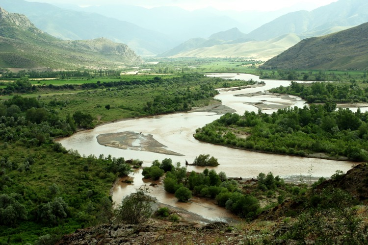
iranasia.com -
The Diyala River is a tributary of the Tigris River. It is generated by the confluence of the Sirwan and Tanjaro rivers in the Darbandikhan Dam in Northern Iraq's Sulaymaniyah Governorate. It travels a total of 445 kilometers (277 mi). It rises near Hamadan in Iran's Zagros Mountains. It then falls into the highlands, forming the boundary between the two nations for 32 kilometers. It eventually empties into the Tigris River, which flows beneath Baghdad. The higher portions of the Diyala are impassable due to tight defiles, but the river's basin serves as a major commercial route between Iran and Iraq. The Hamrin Mountains are to the southwest of the river's course.
The river is described in Herodotus' Histories under the name Gyndes, and it is said that King Cyrus the Great dispersed it by excavating 360 channels as punishment for the death of a holy white horse there. After the channels vanished beneath the sand, the river reverted to its original dimensions. The Battle of Diyala River took place in 693 BC between Assyrian armies and the Elamites in southern Iran. The British Empire conquered the Ottoman Empire at the confluence of the Tigris and Euphrates rivers in March 1917, resulting in the Fall of Baghdad as part of World War I's Mesopotamian Campaign.
Total Length: 277 miles
commons.wikimedia.org 
commons.wikimedia.org -
The Little Zab, also known as the Lower Zab, is an Iranian river that flows into the Tigris near Al Zab in Iraq's Kurdistan region. It has a length of about 400 kilometers (250 miles) and drains an area of about 22,000 square kilometers (8,500 sq mi). Rainfall and snowmelt feed the river, resulting in a high flow in the spring and a glow discharge in the summer and early fall. On the Little Zab, two dams have been erected to regulate river flow, provide irrigation water, and generate hydroelectricity. The Zagros Mountains have been inhabited since the Lower Palaeolithic, although the earliest archaeological site in the Little Zab valley, Barda Balka, is from the Middle Palaeolithic. Since then, human occupancy of the Little Zab basin has been documented.
The Little Zab rises in Iran's Zagros Mountains at an elevation of around 3,000 meters (9,800 feet) AMSL. The orientation of the major mountain chains that comprise the Zagros determines the flow of the Little Zab in its higher stages. Thus, the river travels through basins that are primarily lined along a northwest-southeast axis parallel to the major Zagros mountain chains, only to suddenly shift course where it passes through these mountains in tiny gorges. The Little Zab enters the plain south of Dukan, following a generally westward path before turning southwest upstream from the village of Altun Kopru and joining the Tigris near Al Zab. The Baneh River and the Qala Chulan are the two biggest tributaries that join the Little Zab upstream from Dukan. In the Ranya Plain, which is now partially submerged by Lake Dukan, a number of smaller streams joined the Little Zab.
Total Length: 249 miles
en.wikipedia.org 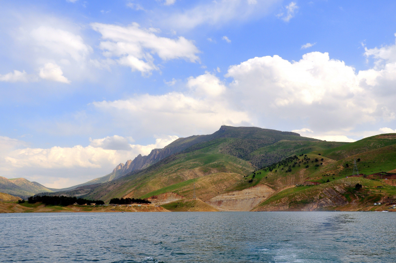
en.wikipedia.org -
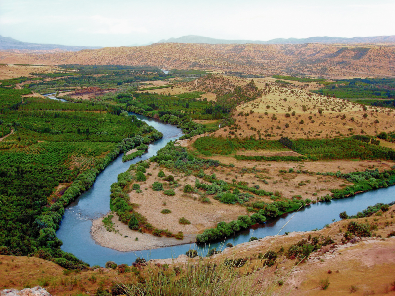
Zayanderud, sometimes called Zayandeh-Rood or Zayanderood, is the biggest river in central Iran on the Iranian Plateau. The Zayandeh begins in the Zagros Mountains' Zard-Kuh subrange in Chaharmahal and Bakhtiari Province. It runs 400 kilometers (249 miles) east before reaching the Gavkhouni marsh, a seasonal salt lake southeast of Isfahan (Esfahan). The Zayandeh used to have substantial year-round flow, unlike many of Iran's seasonal rivers, but it now runs dry owing to water extraction before reaching the city of Esfahan. After several years of periodic dry-outs, the lower parts of the river fully dried out in the early 2010s.
For thousands of years, people have lived on the banks of the Zayandeh River. The oldest evidence of human occupancy along the River is found in a cave named Qaleh Bozi in Dizicheh, which is located southwest of Isfahan. More than 40,000 years ago, groups of Paleolithic hunters (Neanderthals) visited Qaleh Bozi caverns for seasonal or transitory occupations, leaving stone tools and hunting animal bones behind. In the sixth millennium BC, the Zayandeh River Civilization developed along the Zayandeh's banks.
Total Length: 249 miles
visitiran.ir 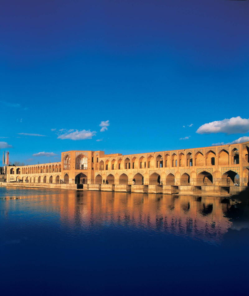
visitiran.ir