


Top 10 Longest Rivers in Denmark

Denmark is loved by tourists because of its attractive and attractive beauty. Lost in exploring this city, you will be mesmerized by the dense river system. ... read more...Let's explore the features of the longest rivers in Denmark.
-
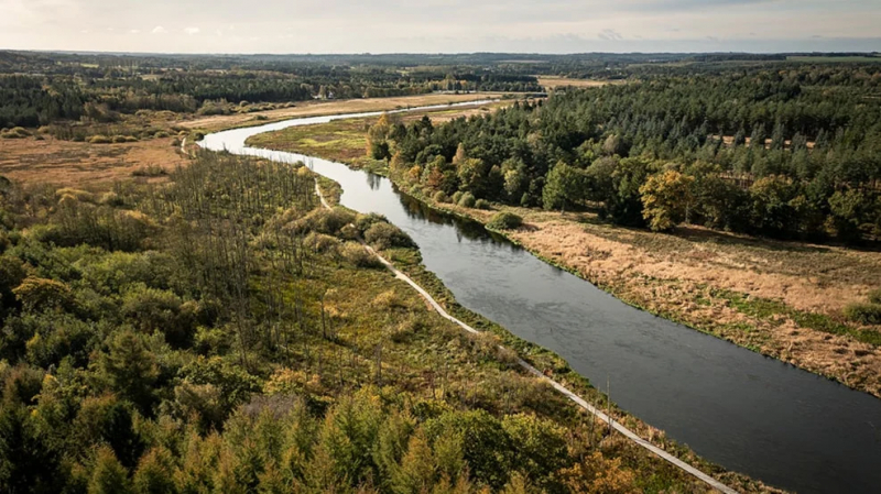
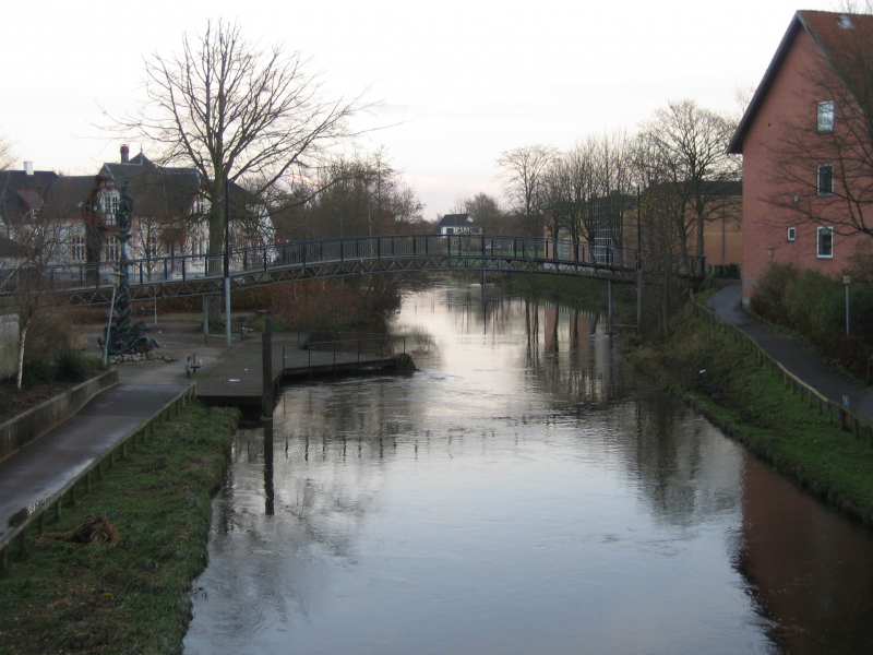
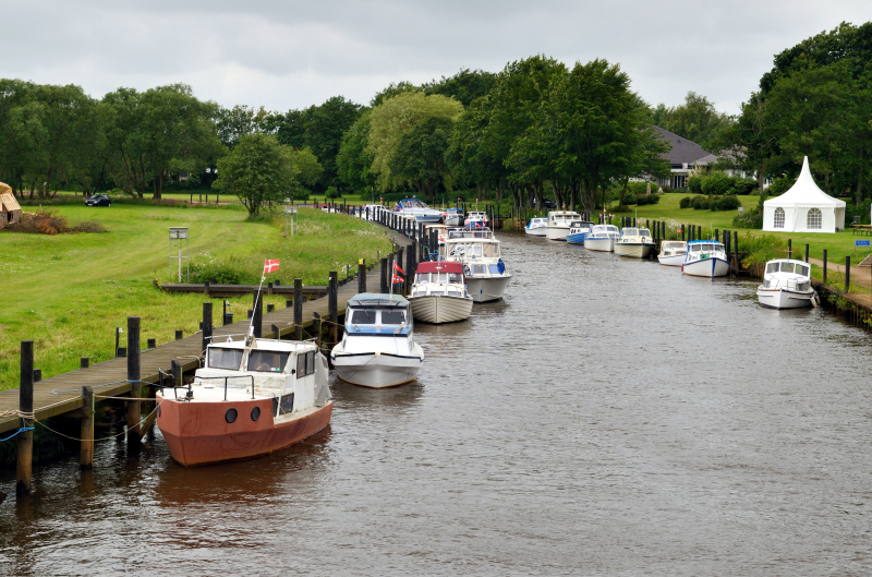
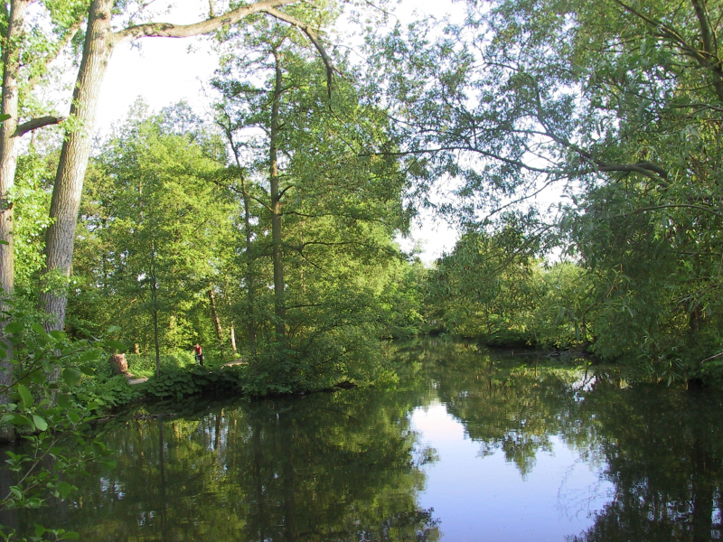
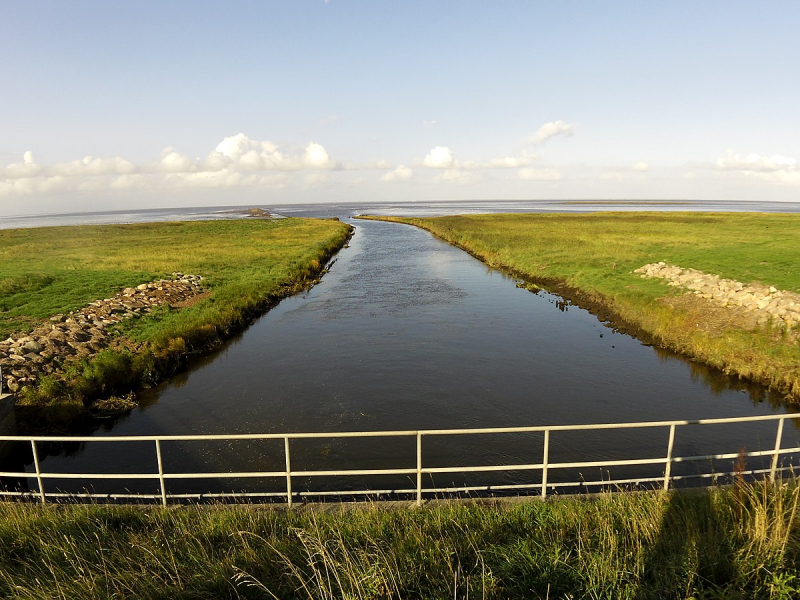
Gudenå (also Gudenen) is Denmark's longest river, flowing across the Jutlandic peninsula's middle region. 'The River Guden' is a common anglicized variant of the name. Gudenen originates at Tinnet Krat, Vejle Municipality (between Nrre Snede and Trring-Uldum) and runs 149 kilometers (93 miles) north to Randers Fjord in Randers, following a journey that takes it through the central regions of Jutland.
The Gudenå river passes through the relatively high-lying Shjlandet area before emptying into Randers Fjord, a long inlet of the Kattegat sea. Along the journey, it is supplied by a number of streams and marshes. Ulstrup Castle and Kjaellinghl Bridge — a 90-meter-long wooden bridge across the Guden, located in a popular recreational area with paths, one of which goes over the bridge – are two further points of attraction.
It's about 20-25 kilometers west-southwest of Randers, and the best way to reach there is by rail from Lang, which is on the main line between Aarhus and Randers, with direct trains also from Copenhagen. This is considered one of the longest rivers in Denmark.
Length: 149 km
https://www.visitaarhus.com/ 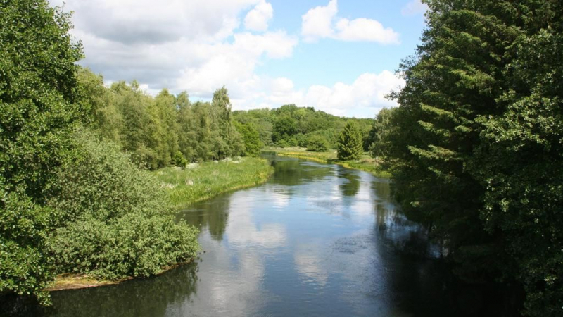
https://www.visitaarhus.com/ -
While the Guden is Denmark's longest river, the Skjern Å is the country's largest river in terms of volume. It is just 94 kilometers long and begins in Tinnet Krat, not far from Guden. It flows westwards from there, entering the North Sea through Ringkbing Fjord at Skjern.
The lower Skjern is a particularly valuable natural region with wetlands and fauna that was once proposed for the creation of the Skjern National Park. Despite the fact that the national park was not legally established in the end, walking pathways and rudimentary tourism infrastructure are present. Beaches can also be found along the North Sea shoreline in the adjacent areas. Herning or Billund are two options for getting there (the Legoland town).
The Skjern Å River and its delta were scheduled to be included in the Skjern National Park, which would have covered 248.7 acres, however the proposal was shelved in 2012. The national park procedure, on the other hand, had already progressed to the point of creating tourist walking pathways and amenities, and on September 21, 2014, two local citizens groups representing nine towns and villages unofficially launched Skjern National Park. This is considered one of the longest rivers in Denmark.
Length: 94 km
https://www.wisevisitor.com/ 
https://www.wisevisitor.com/ -
Storå ("Large Stream"), often known as Storen, is Denmark's second-longest creek, measuring 104 kilometers (65 miles). Only Guden is longer. Stor begins southeast of Ikast and winds its way through Herning, Sunds, and rre. It then passes through Nybro, Hodsager, and Holstebro on its way to Nissum Fjord.
Storå is one of longest rivers in Denmark. Guden, Skjern Creek, and Vid Creek are the only creeks with greater water. Water is delivered to Stor in Holstebro city from an area of 825 square kilometers (319 sq mi). This contains the sources of Vegen Creek and Laegrd Creek, both of which run through Holstebro's city center and end in Stor.
Every square meter of the surrounding region receives around 800 litres (210 US gal) of rain and snow every year, equating to 80 centimetres (31 in) of water. Half of it evaporates, and the remainder is carried away by groundwater and surface drainage via Stor.
Water must consequently flow through Holstebro city at a rate of 0.4 m2 x 825 km2 = 330 million m3 per year. This equates to a flow rate of around 10 cubic metres per second (350 cubic feet per second). West Jutland has had a minor rise in rainfall in recent years.
Length: 104 km
https://www.wisevisitor.com/ 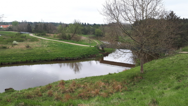
https://www.wisevisitor.com/ -
Karup Å is the river separated the counties of Viborg and Ringkbing. Karup is the sixth biggest watercourse in Denmark. In 1964, 500 hectares along the river over a 20-kilometer length between Karup and Hagebro were designated as an EU habitat area, and the entire stretch from Karup to Skive, totaling 1,008 hectares (including several tributaries), is presently designated as an EU habitat area.
There are tributaries from Vallerbaek that originate from Kompedal a little higher up the river, and the river runs from the east of Haller, which comes from the region of Hauge S by Grathe Hede south of Thorning, a few kilometers south of Karup.
Resen stream from Resen Bk is about 10 kilometers northwest of Karup, and it drains Alheden and Kongenshus Mindepark, together with the somewhat more northern tributary Sejbk. There are tributaries flowing from the south from the left of Haderup at Hagebro. The Karup Å river flows northward. The river is set out in a canal at Skive dal, and on this section it flows parallel to Koholm, which is drained by Hjerl Hede and drains Flynders and Stubbergaard S. The two rivers meet at Lundbro, at the southwestern end of Skive, and run into Skive Fjord, south of the town's port.
Length: 92.8 km
https://da.wikipedia.org/wiki/Karup_%C3%85 
https://da.wikipedia.org/wiki/Karup_%C3%85 -
The Varde Å is a river in Denmark's Jutland. It is Denmark's third-longest river, with a catchment area of 1,088 square kilometers and a length of around 40 kilometers (25 mi) (420 sq mi). The river flows through the municipalities of Varde and Esbjerg, providing a border between them and forming part of the river's route.
The confluence of the Grindsted and the Ansager forms the Varde. A weir about 300 meters (330 yards) downstream redirected the bulk of the river's flow into the Ansager Canal, which led to Lake Karlsgrde, which was utilized for hydroelectric power generation at the Karlsgrde Hydroelectric Plant in Varde. Sydvest Energi, the plant's operator, has given up its rights to dam and redirect watercourses in the Varde drainage basin since 2006, and the river now flows past Hodde, bypassing the reservoir, which is now supplied only by the Holme River.
The factory will be completely shut down. The Varde Å is Denmark's only significant tidal river whose discharge is not controlled by dykes or sluice gates. As a result, natural factors continue to affect the river; for example, the bay tides affect both water level and flow rate well upriver, frequently as far as the outflow from Lake Karlsgrde. This is considered one of the longest rivers in Denmark.
Length: 90.5 km
https://upload.wikimedia.org/ 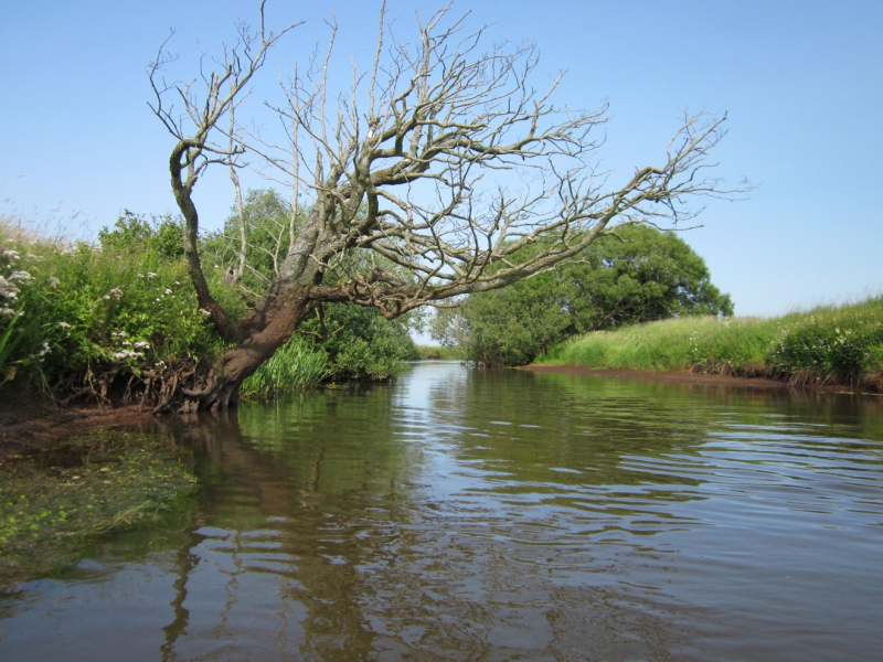
https://upload.wikimedia.org/ -
The Suså River (Susen), Zealand's largest waterway and longest river, flows into Lake Tystrup, Denmark's eighth largest lake, with a length of 83 kilometers (52 miles). It is located in the island's southern region. It rises southwest of Kge and flows west, eventually reaching Tystrup lake.
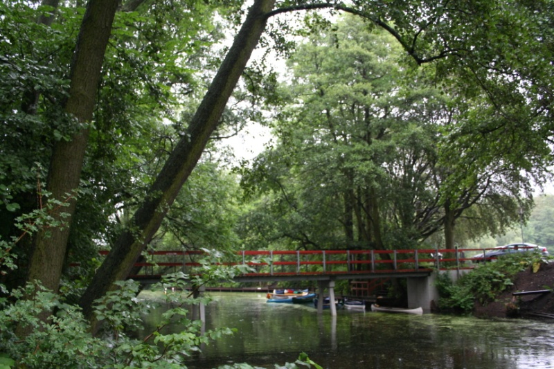
It then takes a left and heads southeast to Naestved, which is the largest city on the Sus. It reaches the sea via the Karrebæk Fjord, which is located a few kilometers south of Næstved. There are areas that may be explored by canoe, which is a favorite way for the Danish to spend a weekend or holiday.
The Suså river are often peaceful and safe to paddle, especially for beginners, thanks to the country's flat topography. There is a lot of infrastructure, such as canoe and kayak rental businesses (kanoudlejning) and campgrounds. Just keep in mind that there are some rivers and places where paddling or sailing is restricted or prohibited. When hiring a canoe, it is advisable to inquire about local regulations.
Length: 86.5 km
https://www.southcoastofdenmark.com/ 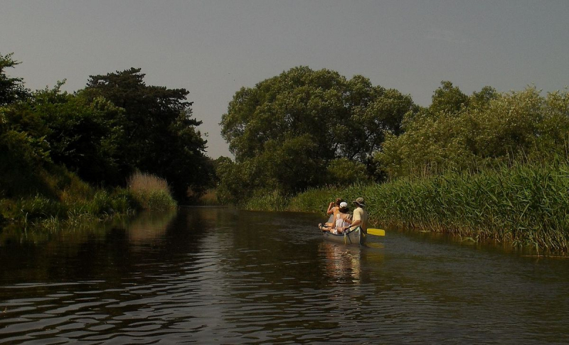
https://www.southcoastofdenmark.com/ -
The Odense Å River (Danish: Odense) is a river in central Denmark that flows through the island of Funen. It stretches for around 60 kilometers (37 miles) and is called for the Funish city of Odense, through which it flows. By the river, boats may be rented for a picturesque journey to Fruens Bge.
During the summer, excursion boats provide excursions to Carlslund, with jazz music on select Saturdays. The stronghold Nonnebakken ensured its master power over the river during the Viking Age. This river's name alludes to its location, which is on the island of Funen, where it runs past the capital city of Odense.
Odense Å is a 60-kilometer-long river famed for cruises and excursions. In this river area, you can also rent boats or rafts to travel. Alternatively, you can drive yourself or hire a local who is both a driver and a tour guide, so you can listen to local stories.
Length: 81.8 km
https://upload.wikimedia.org/ 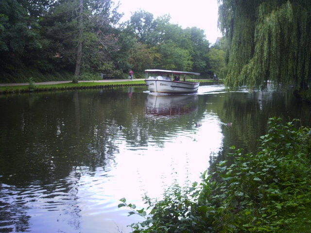
https://upload.wikimedia.org/ -
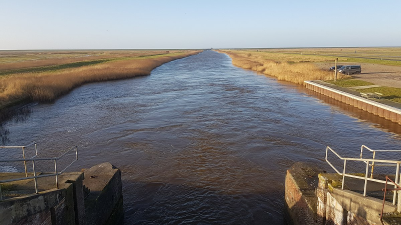
The Vidå is a watercourse in Jutland, Denmark (German: Wiedau, North Frisian Widuu). The creek begins east of Tnder and travels west, eventually reaching the North Sea. The Vid marks the boundary between Denmark and Germany in some locations (through the Rudbl S).
The North Frisians dwell south of the river. The Vid, also known by its German name Wiedau, is the river that currently (since 1920) forms the boundary with Germany. Near Rudbl, it reaches the North Sea and produces a lake (Rudbl S or Ruttebüller See). The river stretches for 69 kilometers.
This Vidå river is special in that the two sides of the river are not dense, tall green trees but two soft green reed lawns. In the afternoon you can easily admire the beautiful sunset view. When the sun swoops down, beautiful pink and blue clouds appear on the horizon. It is also considered one of the longest rivers in Denmark.
Length: 80.2 km
https://www.wisevisitor.com/ 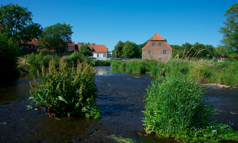
https://www.wisevisitor.com/ -
The Kongeå (Königs Au in German) is a river in Southern Jutland, Denmark. It rises southeast of Vejen and Vamdrup and runs through a sluice to tidal mudflats and sandbanks north of Ribe before emptying into the North Sea after about 50 kilometers (31 miles). The eastern half is barely more than a creek, but the western section is boatable all the way to the sluice.
The Kongeå, on the other hand, goes through no significant ports or market towns, and small vessels utilize Ribe. Historically, the stream has served as an administrative boundary between northern and southern territories. Skodborg was the name given to it in the Middle Ages after the royal palace Skodborghus, which stood where a track crossed the stream south of Vejen.
For centuries, the Kingdom of Denmark and the Duchy of Schleswig were divided by a customs border in Konge. Except in the far west, Kongeen marked the border between Denmark and Germany from 1864 until 1920. The Kongeå is mentioned in the Heimskringla (as "Skotborg river") in a description of the 1043 battle at Lyrskov Hede (Hlyrskog Heath).
Length: 63.6 km
https://en.wikipedia.org/wiki/ 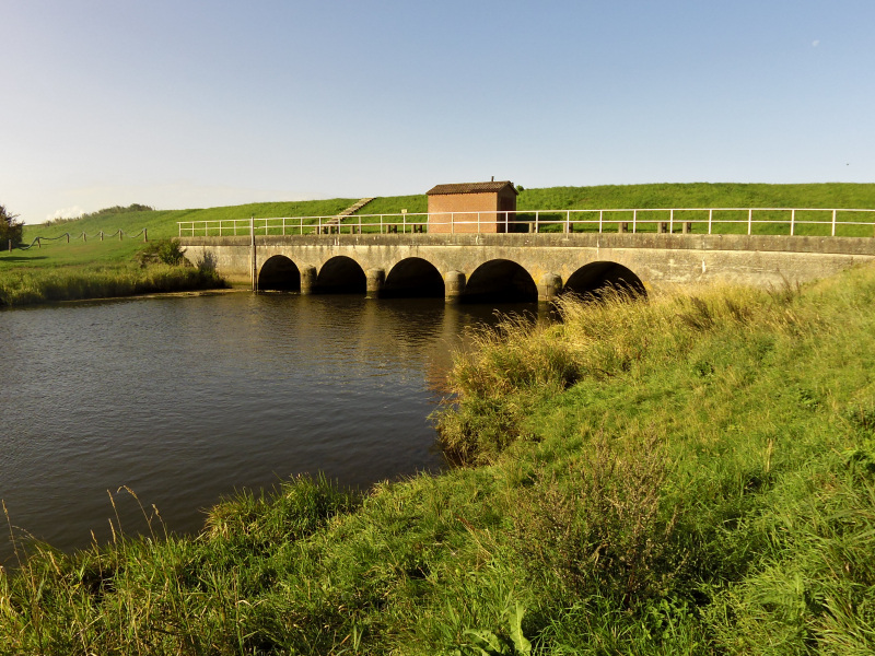
https://en.wikipedia.org/wiki/ -
The river Uggerby Å (Uggerby River) is located in northern Denmark (the chief river in Vendsyssel). The river stretches for more than 50 kilometers (31 miles). It flows from Sterup (south of Hjrring) to Skagerrak. There are a lot of sea trout, brook trout, eel, mussel, and pike in the river.
The group includes around 50 kilometers of riverside fishing. It's excellent that you've done all of these free things, including shelters, camping sites, lodging, playgrounds, and a lot of history regarding the ancient water power plant, which is still intact and can be visited for free. Beautiful scenery and clean air. The river near the mouth of Tannis Bay is a very dynamic natural experience.
Fishing for sea trout is possible on rare occasions. In addition, the Uggerby Å river is home to a variety of different fish species. Salmon, halibut, and osprey are all believed to spawn here. During the summer, canoes may be rented and paddled down the river to the mouth, and there are also lovely free campsites for overnight visitors.
Length: 60.6 km
https://en.wikipedia.org/ 
https://en.wikipedia.org/


