


Top 10 Longest Rivers in Lebanon

The western slopes of the Lebanon range have 28 rivers that descend into steep gorges and into the Mediterranean Sea, while the Beqaa Valley has 6. To see the ... read more...river landscape in this country, let's explore longest rivers in Lebanon.
-
The Nahr al-Kabir river, also known in Syria as al-Nahr al-Kabir al-Janoubi (Arabic:, lit. 'the southern big river,' in contrast to the Nahr al-Kabir al-Shamali) or simply as the Kebir in Lebanon, is a river that flows through Syria and Lebanon and empties into the Mediterranean Sea in Arida.
The river runs for 77.8 kilometers (48.3 miles) and drains a 954-square-kilometer watershed (368 sq mi). Its source is Lebanon's Ain as-Safa spring, and it runs through the Homs Gap. The river forms part of the northern boundary between Lebanon and Syria. Eleutherus (Greek E Eleutheros, Eleuteris lit. 'free') was the name given to the river in antiquity.
During most of the 3rd century BCE, it served as a boundary between the Seleucid and Ptolemaic empires. The Nahr al-Kabir river is a Middle Eastern river that empties into the Mediterranean Sea. The Homs Gap is where the river runs. The river forms the northern section of the modern-day Lebanon-Syria boundary. This poetic river is also considered one of the longest rivers in Lebanon.
Length: 60 km
https://www.pinterest.com/pin/505951339364114443/ 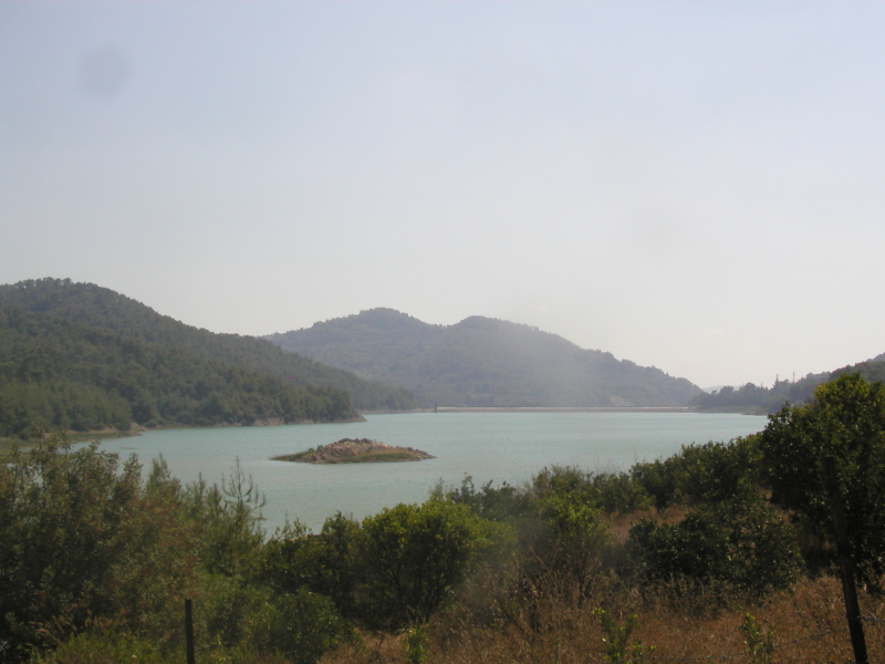
https://en.wikipedia.org/ -
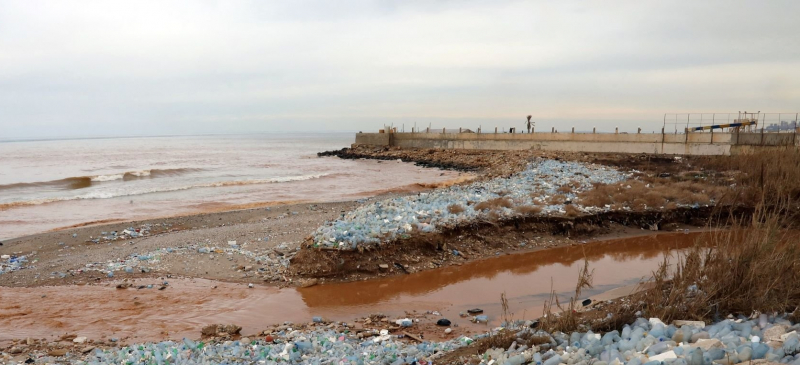
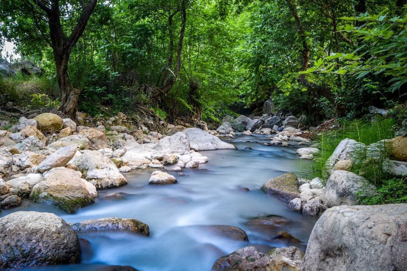
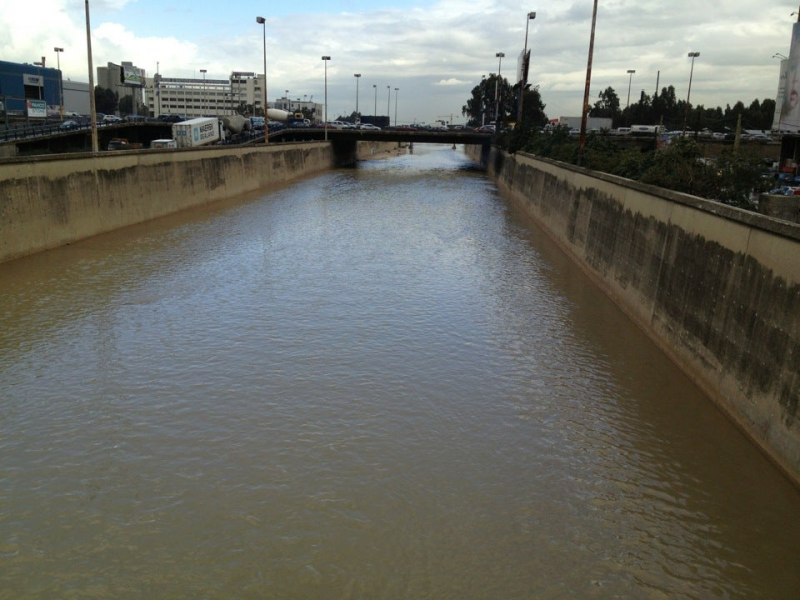
The Ghadir River (Arabic:, Nahr Al-Ghadir), which means Rivulet, is one of Lebanon's smallest rivers, flowing through the southern Beirut region. The river is generated by rain-fed seasonal streams in the Baabda district. The river travels south of Beirut, through the Beirut International Airport, past Choueifat, Kfarshima, and Hayy El-sellom, before emptying into the Mediterranean Sea. During the summer, it completely dries up.
The Ghadir River is Lebanon's most polluted river. Despite the fact that it has been contaminated since the early 1990s, Youssef fenianos, the minister of public works, stated in 2017 that the Ghadir River's water is no longer normal water, but rather sewage water.
This vast river consists of an evergreen forest beside it and ancient rock formations. In addition, there is a long headland running from the river's edge. Visitors can stroll here or fish. Because many residences and companies located near the river dump untreated effluent straight into it, the river has become a sewer. Tile manufacturing and sand washing plants are two examples of such enterprises. It is also considered one of the longest rivers in Lebanon.
Length: 219 km
https://www.lebanontraveler.com/ 
https://www.lebanontraveler.com/ -
The Nahr Abu Ali, also known as the Kadisha River, is a river in Lebanon. From the Kadisha grotto, midway between Bsharri and the Cedars of God, to the Mediterranean Sea in Tripoli, it stretches 45 kilometers (28 miles) east to west. The river carves massive canyons in the Kadisha Valley.
It is partially covered and walled as it passes into Tripoli. The water in the river is quite filthy. Nahr Qadisha, the holy river, flows through the valley for 35 kilometers from its source in a cave (grotto) in the Forest of the Cedars of God. Kadisha Valley is located next to the Kadisha River.
When it reaches Tripoli, the Kadisha River, also known as the Nahr Abu Ali, cut the valley. In Aramaic, Kadisha means "holy," therefore the valley is frequently referred to as the Holy Valley. This poetic river is also considered one of the longest rivers in Lebanon.
Length: 45 km
https://www.lebanoninapicture.com/ 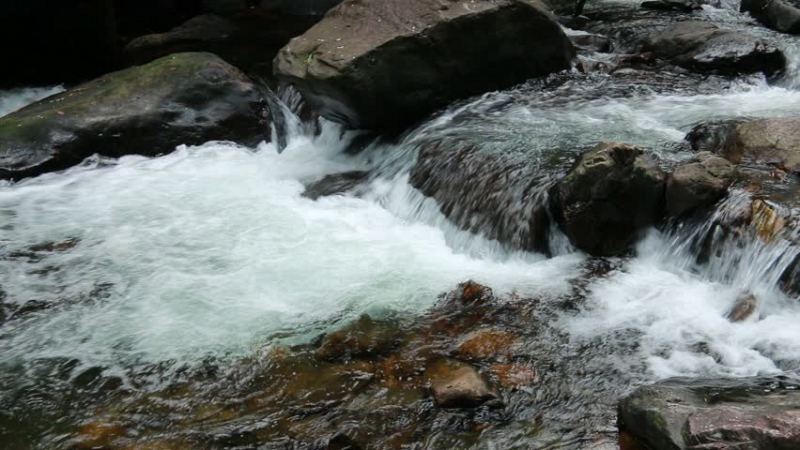
https://www.lebtivity.com/ -
The Abraham River (Arabic:, Nahr Ibrahim), also known as the Adonis River (), is a tiny river in Lebanon's Keserwan-Jbeil Governorate. It has a length of around 14 km (23 km). The river emerges from the Afqa Grotto, a massive cavern about 5,000 feet (1,500 meters) above sea level, before dropping abruptly down a series of falls and passing through a precipitous valley in the highlands.
Before draining into the Mediterranean Sea, it goes through Nahr Ibrahim. Abraham River is the source of the city's name (nahr means river in Arabic). Byblos, an ancient city at the river's mouth, was a shrine to Adonis, the god of love, rebirth, and beauty in Phoenician mythology. He was claimed to have been murdered by a boar sent by Ares, the god of battle, near the river (or by Ares himself disguised as a boar, depending on the version).
According to legend, Adonis' blood flowed into the river, turning it red and spawning a carpet of scarlet buttercups along the river's banks for centuries. Because to the volume of dirt swept off the mountains by strong winter rains, the river becomes crimson in February, giving the impression that it is filled with blood.
Length: 22.5 km
https://www.flickr.com/ 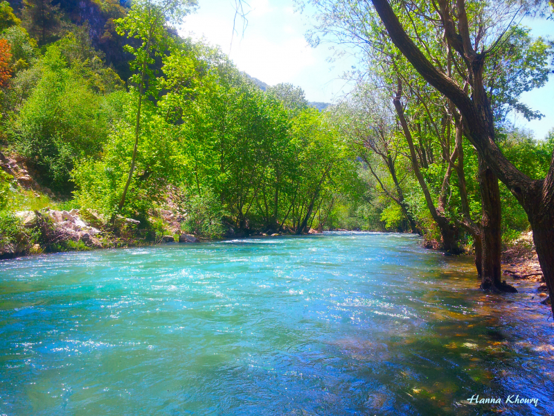
https://www.flickr.com/ -
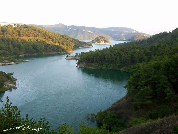
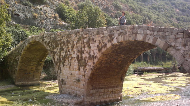
In Lebanon, there is the Nahr al-Kalb River (Arabic:, meaning Dog River). It stretches about 31 kilometers (19 miles) from a spring near the Jeita Grotto in Jeita to the Mediterranean Sea. The old Lycus River is known as Nahr al-Kalb. The Commemorative stelae of Nahr el-Kalb are monuments constructed by past generals and conquerors near the mouth of the Nahr al-Kalb.
The whole Nahr el-Kelb valley, including the ancient monuments it conceals, is listed on the UNESCO world heritage list as an indicator site. The river rises from a low-altitude source near the Jeita Grotto. The river receives periodic floods from Mount Lebanon and is nearly dry throughout the summer.
The Nahr al-Kalb River is a spectacular location. Storms raging down the gorge generate a howling sound, which explains the river's name, which means "wolf." Nahr al-Kalb, the current name, meaning "dog river." If you wish to go there, use the coastal route to Jubayl (ancient Byblos) and turn right after passing through the tunnel.
Length: 31 km
https://upload.wikimedia.org/ 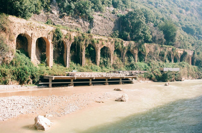
https://lebanonheritage.org/ -
The Beirut River (Arabic:, Nahr Bayrt) flows through Lebanon. The river divides Beirut's eastern suburbs, particularly Bourj Hammoud and Sin el Fil, by running east to west and then curving north. St. George is said to have killed the dragon at the river's mouth, according to mythology.
The river originates from snow drains and springs between the cities of Hammana and Falougha on the western slopes of Mount Kneisseh and the southern end of Mount Sannine, emptying at Beirut's northern Mediterranean shore, east of the Port of Beirut.
The 20-kilometer valley of the Beirut River, particularly the upper valley, is one of the most important areas for bird migration in Lebanon, according to environmentalists, with birds of 33 different species such as the European Honey-buzzard, Levant Sparrowhawk Accipiter brevipes, Common Buzzard Buteo buteo, White Stork, White Pelican, European Nightjar Caprimulgus europaeus, European Bee-eater Merops a piaster. There are now six bridges over the river, linking Beirut to its outskirts. It is one of Longest Rivers in Lebanon.
Length: 140 km
https://foursquare.com/ https://lamiajoreige.com/ -
The Damour River (Arabic:, Nahr Al Damour) is a 37.5-kilometer (23.3-mile) coastal river in Lebanon's Mount Lebanon Governorate. The river begins on the slopes of the 1943-meter peak Jabal el-Barouk, which is home to a nature park with some of Lebanon's biggest and oldest Cedars of Lebanon, and travels west through the Jisr Al-Kadi valley, where it collects water from the Chouf mountains' tributaries.
The Damour River runs south of Damour, the main town on its banks and the one that carries the river's name, towards the Mediterranean Sea. Drought-stricken Canaanite inhabitants named the river "Damoros" old Tamyrus,[2] in the attribution of 'Damoros' deity of longevity, connected to 'Achtarout', god of love and beauty, during the Phoenician period.
The river's longevity and the region's beauty were symbolized by this attribution. A crusade fight was fought on the river's margin in 1302, when it was a key location on the way to the Holy Land. The river was dubbed "Fleuve D'amour" by French crusaders following the fight.
Length: 37.5 km
https://www.wikiloc.com/ 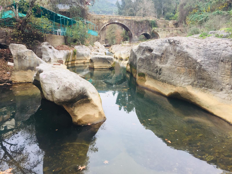
https://www.wikiloc.com/ -
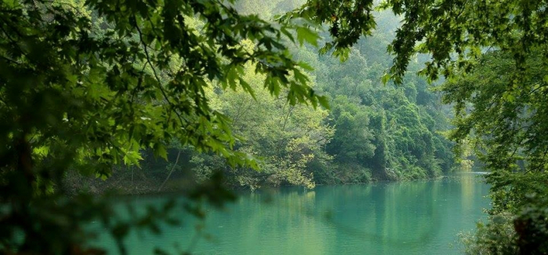
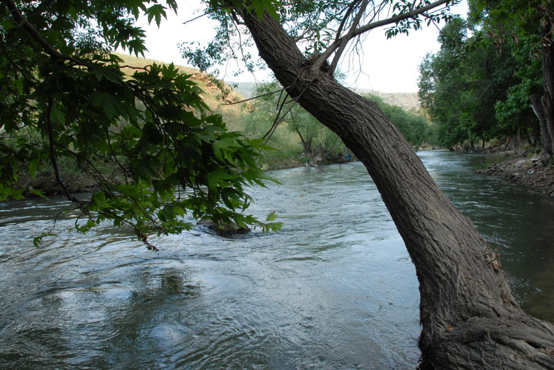
The Awali River (Arabic: / ALA-LC: Nahr al-Awal, ancient Bostrenus / Bostrenos) is a perennial river in Southern Lebanon. It was known as the River Asclepius in ancient times. It runs over 48 kilometers (30 miles), beginning at 1,492 meters (4,895 feet) on the Barouk peak and ending at the Niha mountain.
Two tributaries, the Barouk and Aaray rivers, feed into the Awali. In its higher reaches, the Awali is also known as the Bisri river, flowing down the western face of Mount Lebanon and into the Mediterranean. The Awali river has a discharge of 10.1625 m3/s (358.89 cu ft/s) and flows across a 294 km2 watershed (114 sq mi).
The Awali River empties into Joun Lake, which is part of the Bisri Dam project, which aims to increase the region's fresh water supply. In September 2020, the World Bank decided to cancel a substantial amount of the Bisri Dam project's funding.Length: 48 km
https://www.treklens.com 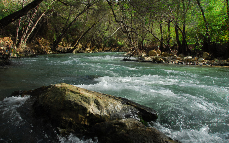
https://www.treklens.com/gallery/photo653673.htm -
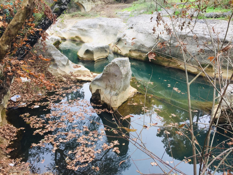
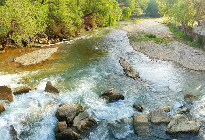
The Zahrani River (Arabic: ) flows across southern Lebanon. It may be found south of Sidon. Zahrani () is the adjective form of the noun Zahran (), which in Arabic means "bloom" or "blossoming." The majority of Jabal Rihane and Nabatiyeh is irrigated by this river. It is one of the most significant rivers in the Jabal Rihane region. Its mouth is located north of the (longer) Litani River's mouth.
This river is crossed by the Zahrani Bridge. During Australian soldiers' operations in Lebanon, the Zahrani River was one of numerous that meandered through high wadis and cut the coastal route, posing substantial impediments. The Vichy French had built defenses along the Zahrani, as they had along the most of these river barriers.
The Zahrani River has a fairly fast-flowing water, so tourists need to pay attention to their travel gear carefully. Coming to this place, you will admire the clear blue sky with the sunshine. The bare trees in winter create a very poetic scene.
Length: 25 km
https://globalvoices.org/ 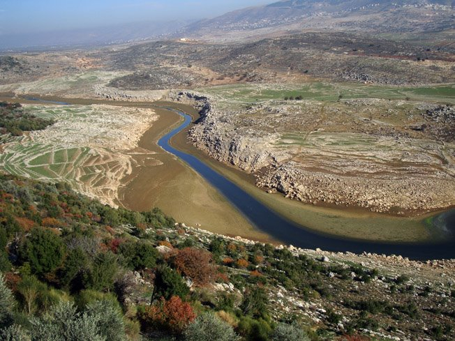
https://globalvoices.org/ -
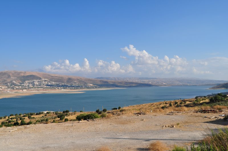
The Litani River (Arabic:, romanized: Nahr al-Ln), also known as the Leontes (Greek: v, translit. Léontes, lit. "lions"), is a major supply of water in southern Lebanon. The river begins west of Baalbek in the rich Beqaa Valley and drains into the Mediterranean Sea north of Tyre.
The Litani River, which stretches for more than 140 kilometers and has an annual flow of 920 million cubic meters, is Lebanon's longest river. The Litani River originates and flows wholly inside Lebanon's boundaries. It is a key source of water, irrigation, and hydroelectricity in Southern Lebanon as well as the rest of the nation.
Historians have suggested that the river-mouth of the Litani River was the location of Biblical Misrephoth Maim, the area to which Joshua drove the different tribes following their defeat at the waters of Merom, but this is improbable because the name Litani predates the Biblical tale. The river turns significantly westward after going south parallel to the Syrian border. The Litani River comes within five kilometers of the Hasbani River near this curve.
Length: 140 km
https://upload.wikimedia.org/ 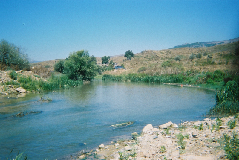
https://upload.wikimedia.org/


