


Top 5 Longest Rivers in Liberia

The Guinea Range, which dips gradually into the coastal plain, surrounds the undulating plateau in the northeast of Liberia, which features several rivers. ... read more...Longest rivers in Liberia are not just beautiful, but also a popular tourist attraction. Let's have a look at Longest Rivers in Liberia.
-
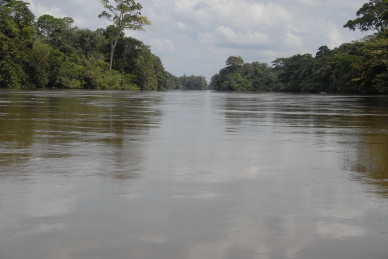
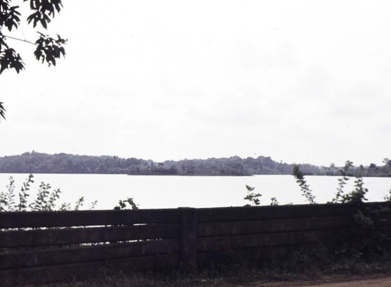
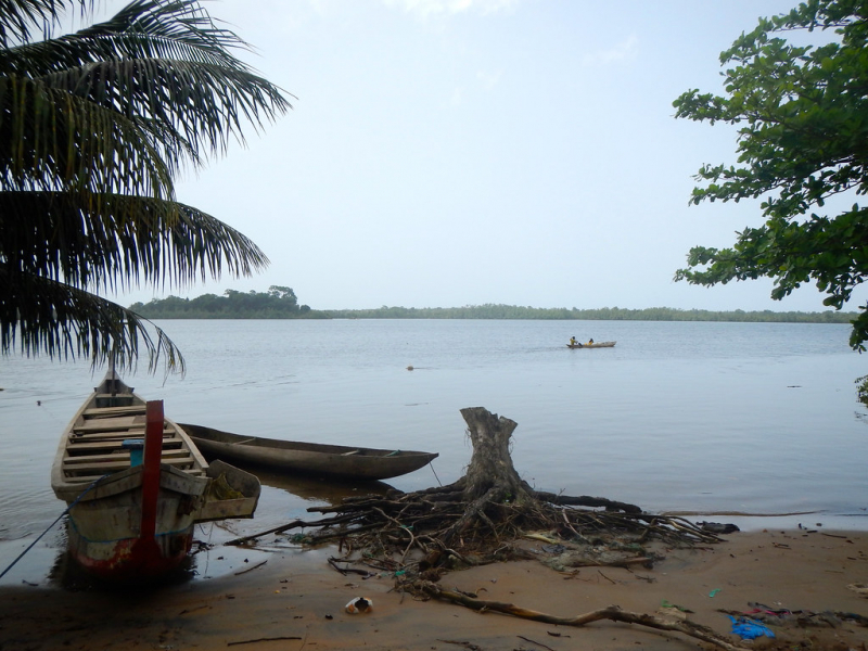
The Saint Paul River is a western African river. Its origins can be found in southeastern Guinea. Its higher reaches in Guinea are known as the Diani River or Niandi River, and they constitute part of the Guinea-Liberia border. This river is considered one of the longest rivers in Liberia.
The Saint Paul River then enters Liberia around 50 kilometers (31 miles) north of Gbarnga and flows southwestward across the country. It drains into the Atlantic Ocean on Bushrod Island, dividing Monrovia from its suburb Brewerville, at Cape Mesurado in Monrovia. The river was named after Portuguese navigators who first saw it on St. Paul's feast day in the 15th century. The river was vital in the slave trade since it was here that Robert Bostock constructed his business.
Many early African-American emigrants to Liberia in the 19th century migrated up to the neighboring St. Paul River, where they discovered land suited for cultivation, because the soil surrounding Monrovia, Liberia was poor and the coastal areas were covered in dense forest. They built up little colonies there. Along the river, American Lutheran missionaries established the Muhlenberg Mission Station, where they taught youngsters different academic subjects, technical/agricultural skills (particularly coffee farming), and catechism.Length: 450 km
https://en.wikipedia.org/wiki/Saint_Paul_River 
https://en.wikipedia.org/wiki/Saint_Paul_River -
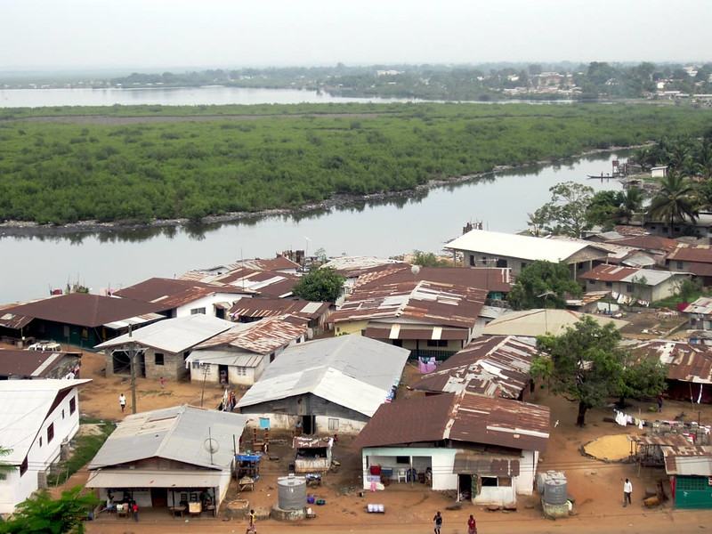
The Mesurado River, also known as Du-River in Liberia, is a large river that flows through Monrovia, Liberia's capital city, and into the Atlantic Ocean. The river's beginning is roughly 30 meters (98 feet) above sea level, and it has a total length of about 25 kilometers (16 miles).
The Mesurado's major source is near Sinda Town, just east of Monrovia, and it is constantly influenced by the Atlantic Ocean's tide, which causes the river to be dammed up during high tide, creating a big lagoon that is ideal for the passage of people and goods around the city.
Because transportation is a major issue in Monrovia, there is always traffic congestion from people trying to get from one part of the capital to another, and all of these challenges have led Liberians to use the Mesurado River as a crossing point to easily get across, not just to the slum community of West Point, but to other parts of the capital as well.
Parts of the Mesurado River have been proclaimed a nature reserve of exceptional importance, particularly in the lower sections of the confluence with the Saint Paul River, after the Liberian government was recommended to safeguard the mangrove region. This river is considered one of the longest rivers in Liberia.
Length: 25 km
https://www.flickr.com/ 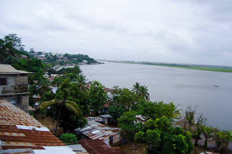
https://www.flickr.com/ -
Liberia's Farmington River is a river. Near the village of Marshall, it flows into the Atlantic Ocean. The Farmington River, Junk River, and Gbage River form an estuary on the Atlantic coast. According to some accounts, the Farmington River reaches the ocean, whereas the Junk River is a tributary. Other, typically older, sources, on the other hand, argue the reverse.
In 1926, the Firestone Natural Rubber Company planted rubber plantations along the Farmington River. To support the plantation and its accompanying businesses, the firm built the Firestone hydroelectric power station, which was finished in 1942. The corporation has since been accused of contaminating the waterway.
Africa/Monrovia is the time zone in Farmington River. Sunrise is at 06:29 a.m. and sunset is at 18:48 p.m. The weather is pleasant in the river area, with pleasant temperatures and gentle winds. Monrovia roberts international(ROB), Monrovia, Liberia (14.9km) and Monrovia spriggs payne(MLW), Monrovia, Liberia are also close to Farmington River (84.2km). This river is considered one of the longest rivers in Liberia.
Length: 120 km
https://en.wikipedia.org/ 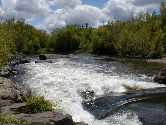
https://en.wikipedia.org/ -
The Saint John River is one of the six major rivers of Liberia, a West African country. The river travels southwest across Liberia, with its origins in neighboring Guinea, and empties into the Atlantic Ocean at Bassa Cove near Edina in Grand Bassa County. The 5,700-square-mile drainage basin of the 175-mile-long (282-kilometer) river (15,000 km2).
The river's sources are in the Nimba Range of the Guinea Highlands in Guinea, and it flows south towards the Liberian border. It originates near Yalata, Guinea, to create the boundary between Guinea and Liberia's Bong County. It defines the international border for about 6 miles as it flows south.
Saint John River forms the border between Bong and Grand Bassa counties after around 15 miles (24 km) and then bends west for about 10 miles. The river then turns southwest and reaches Grand Bassa County after about 30 miles (48 kilometers). After around 8 miles (13 kilometers), it bends south for another 8 miles (13 kilometers) before returning to the southwest for about 10 miles.
It swings due south near Shoigabli for about 9 miles (14 km), passing Mount Finley, before turning more westerly and flowing generally southwest for another 9 miles. The Saint John expands and runs northwest for about 3 miles (4.8 km) between Zoblum and Alfabli before turning west for a mile to Hartford.
Length: 673 km
https://lhsliberia.com/ 
https://lhsliberia.com/ -
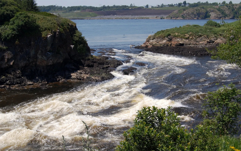
The Cestos River, also known as the Nuon or Nipoué River, is a Liberian river that begins in Guinea's Nimba Range and runs south along the Côte d'Ivoire border, then southwest through Liberian rain forest paths to empty into a bay on the Atlantic Ocean, where the city of River Cess is located.
The pygmy hippopotamus (Choeropsis liberiensis) has been seen on the banks of the river. It makes up the northern portion of Liberia's international border with Côte d'Ivoire. The section of the river near Cestos was a major food and mineral extraction location for the National Patriotic Front of Liberia during the First Liberian Civil War.
This Cestos River is not only one of the longest rivers in Liberia but also has a great width. Between the two vast banks of the country and want to go, the only way is to rent a boat or raft from local residents. Each boat can only accommodate 3 people excluding luggage. However, each trip is not too expensive. You can both take a boat ride and enjoy the surrounding scenery. This river is considered one of the longest rivers in Liberia.
Length: 476 km
https://www.distancesto.com/ 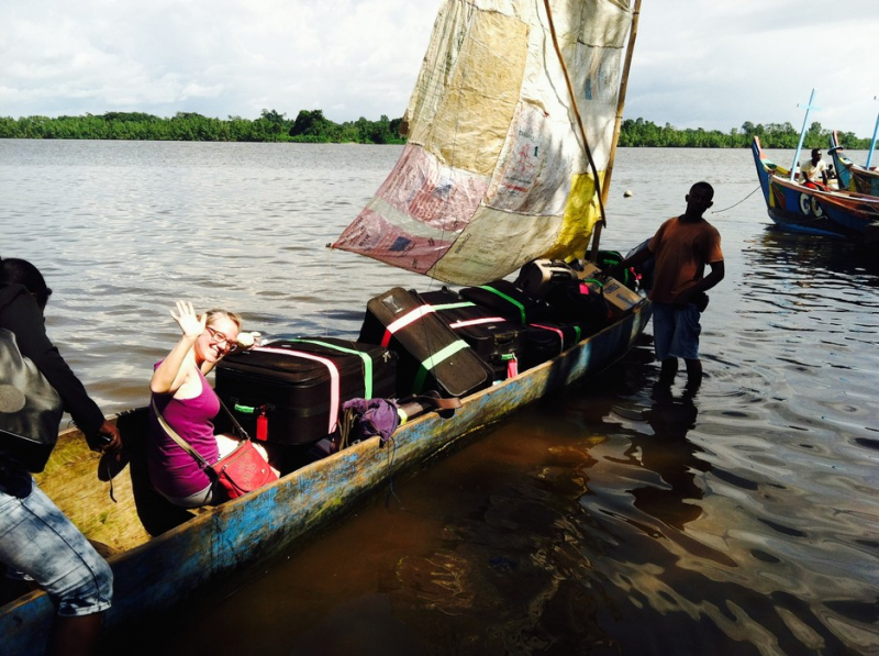
https://www.distancesto.com/


